Gokyo Trek and Mera Peak (6,654 m), March 2014

Report

28 March – 24 April 2014

At last! A dream had come true. After endless weeks of preparation, we were finally on our way. Sifting through mountains of literature on altitude medicine, Nepal and Buddhism had come to an end. The lengthy assembly of the mountain medicine kit and emergency altitude-sickness medication was done; all necessary vaccinations completed. The gear had been packed and repacked to my satisfaction through countless attempts.

We were off to Nepal!

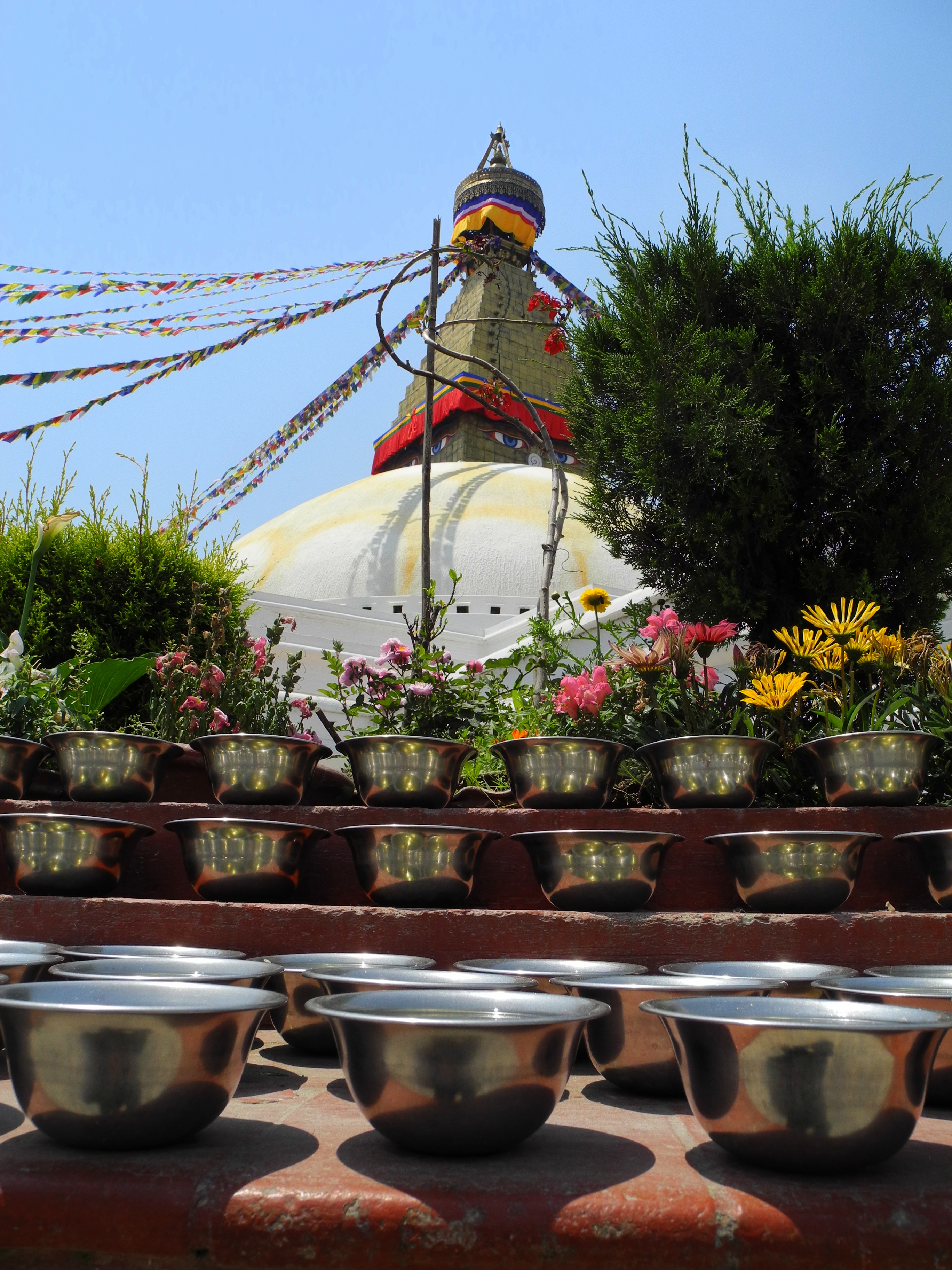
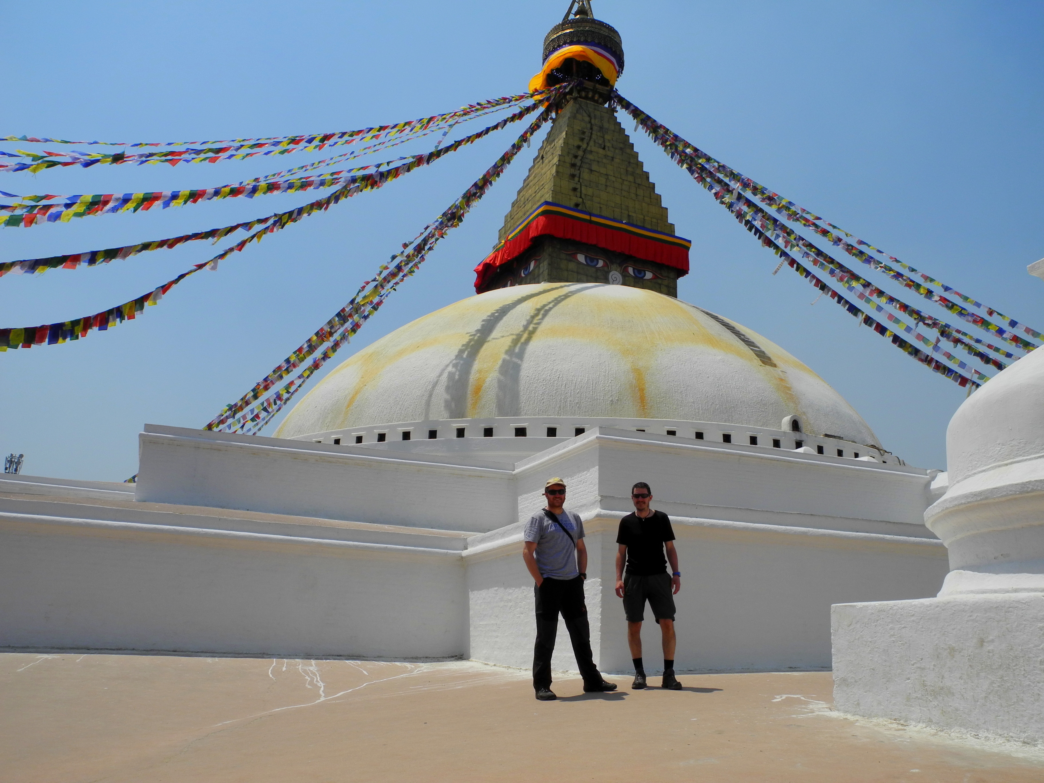
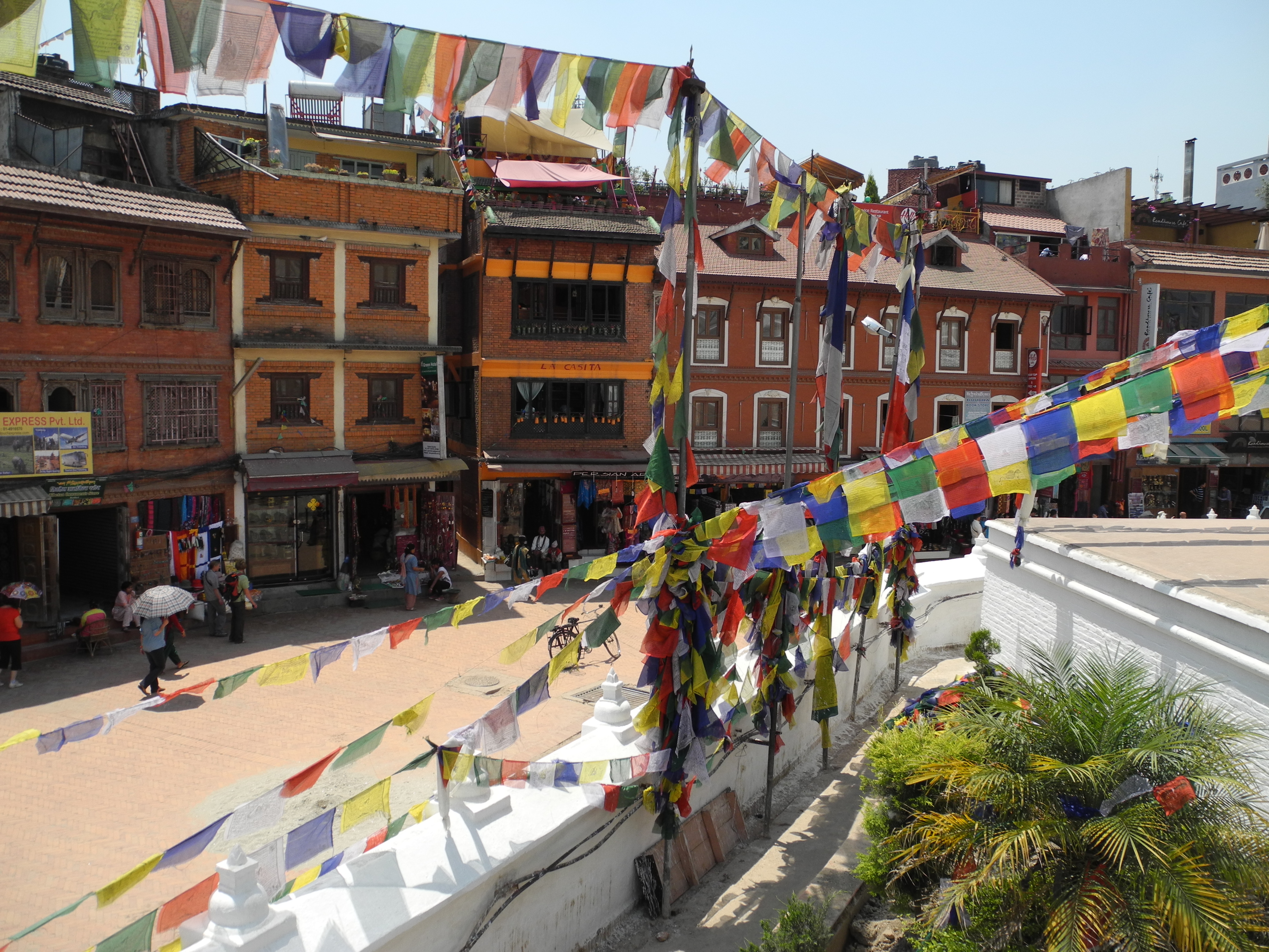
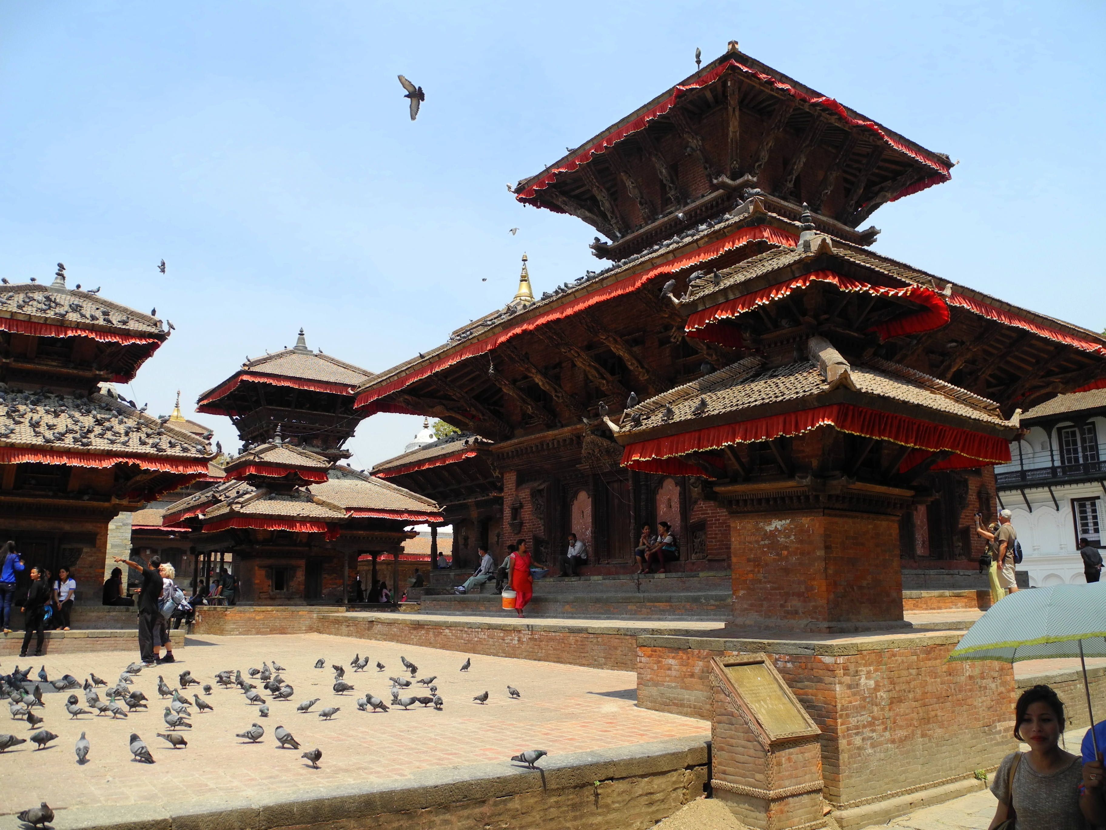
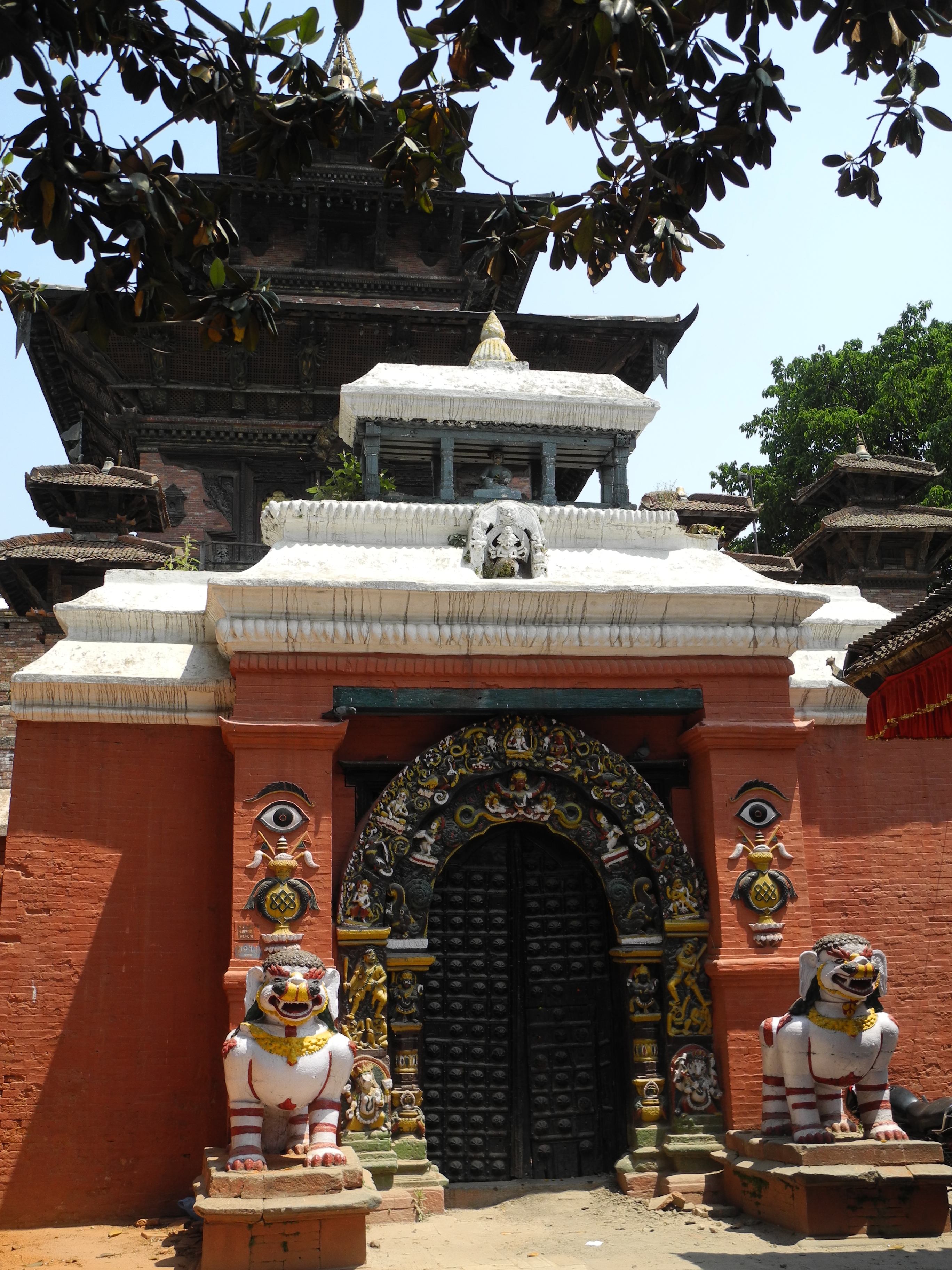
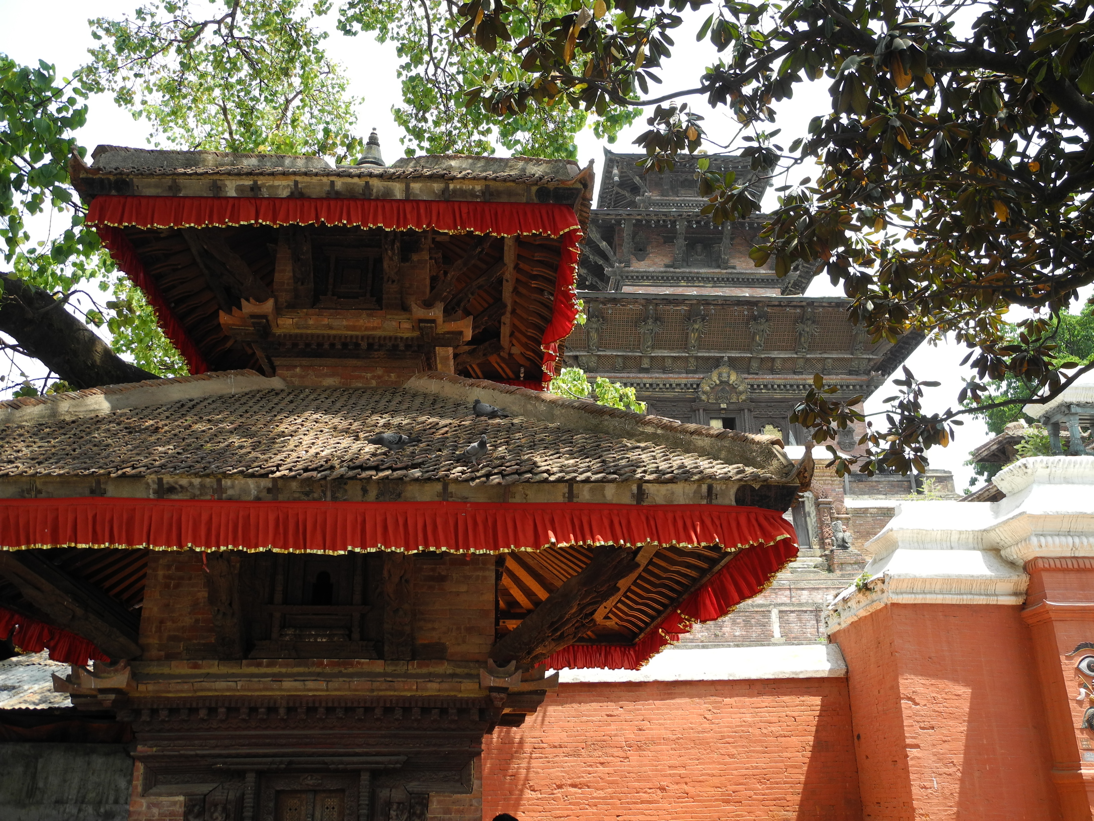
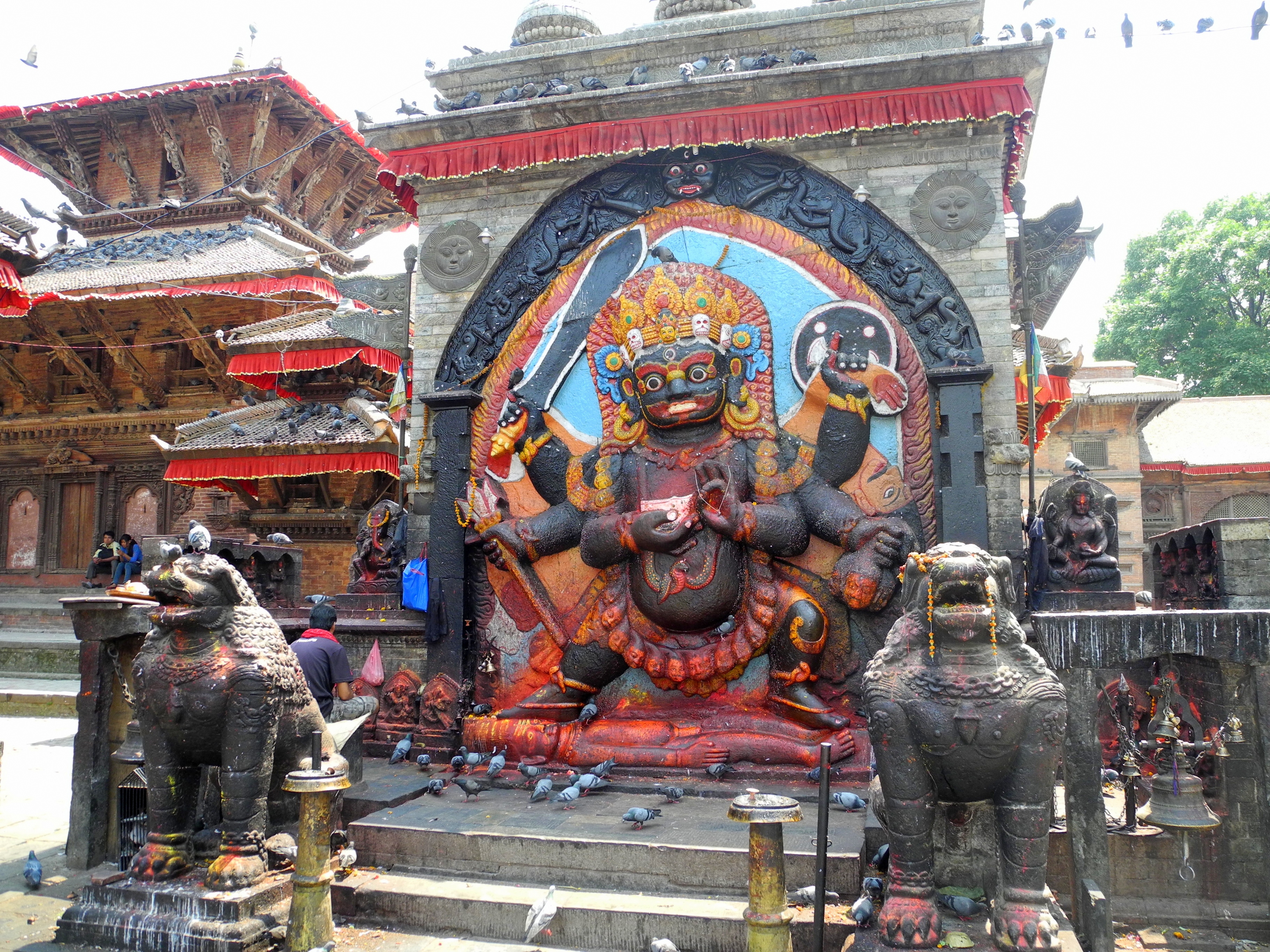
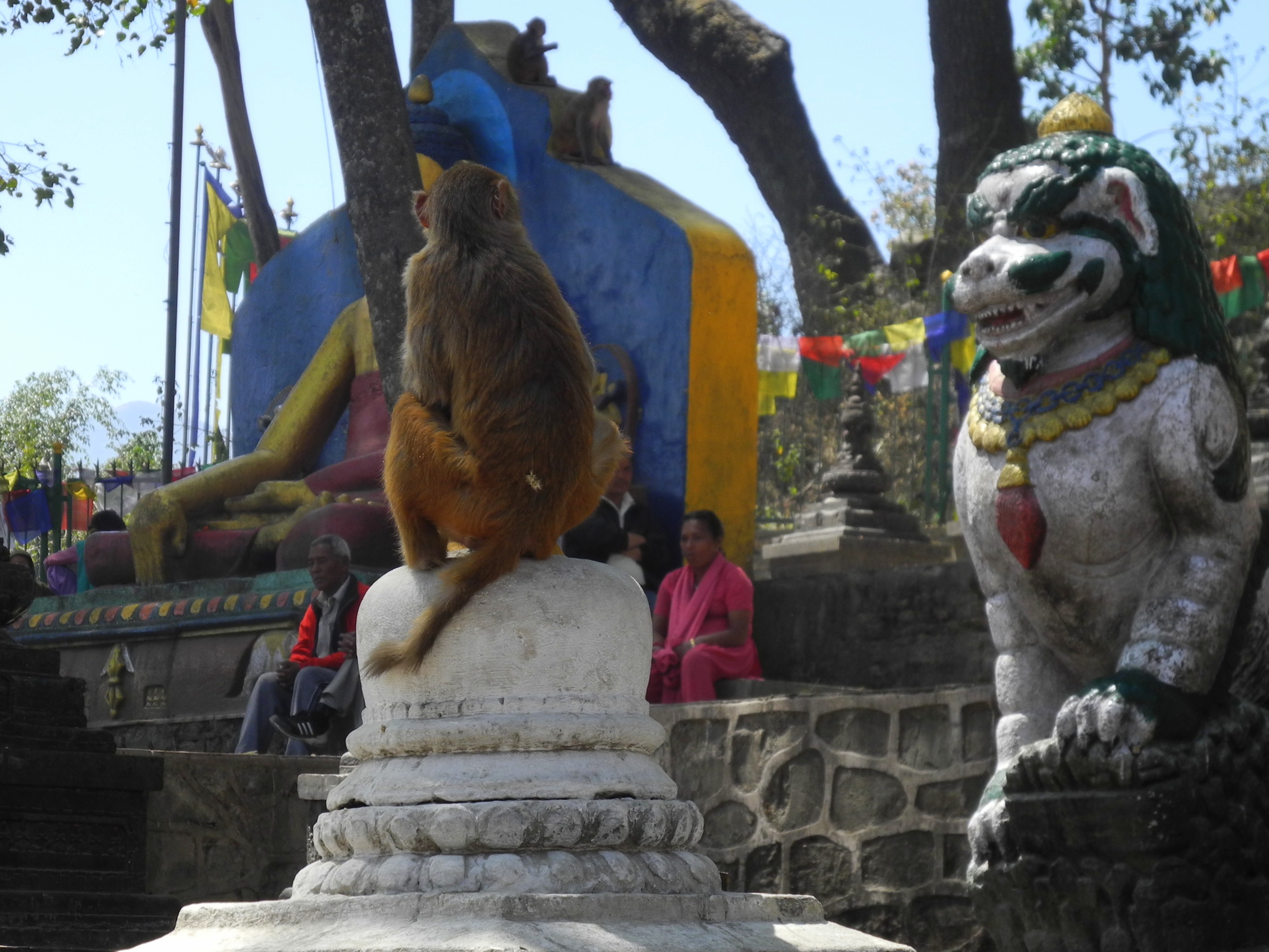
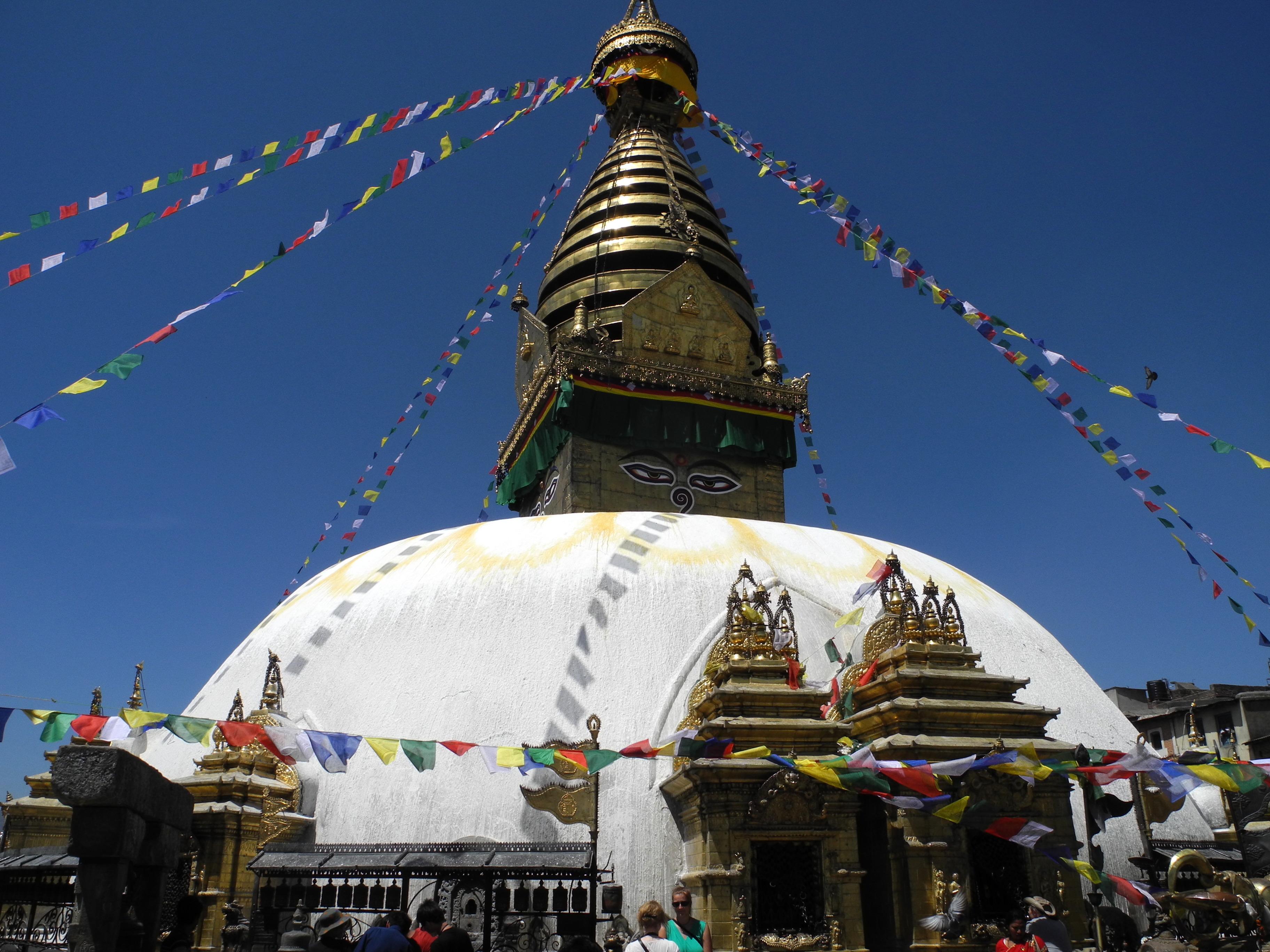
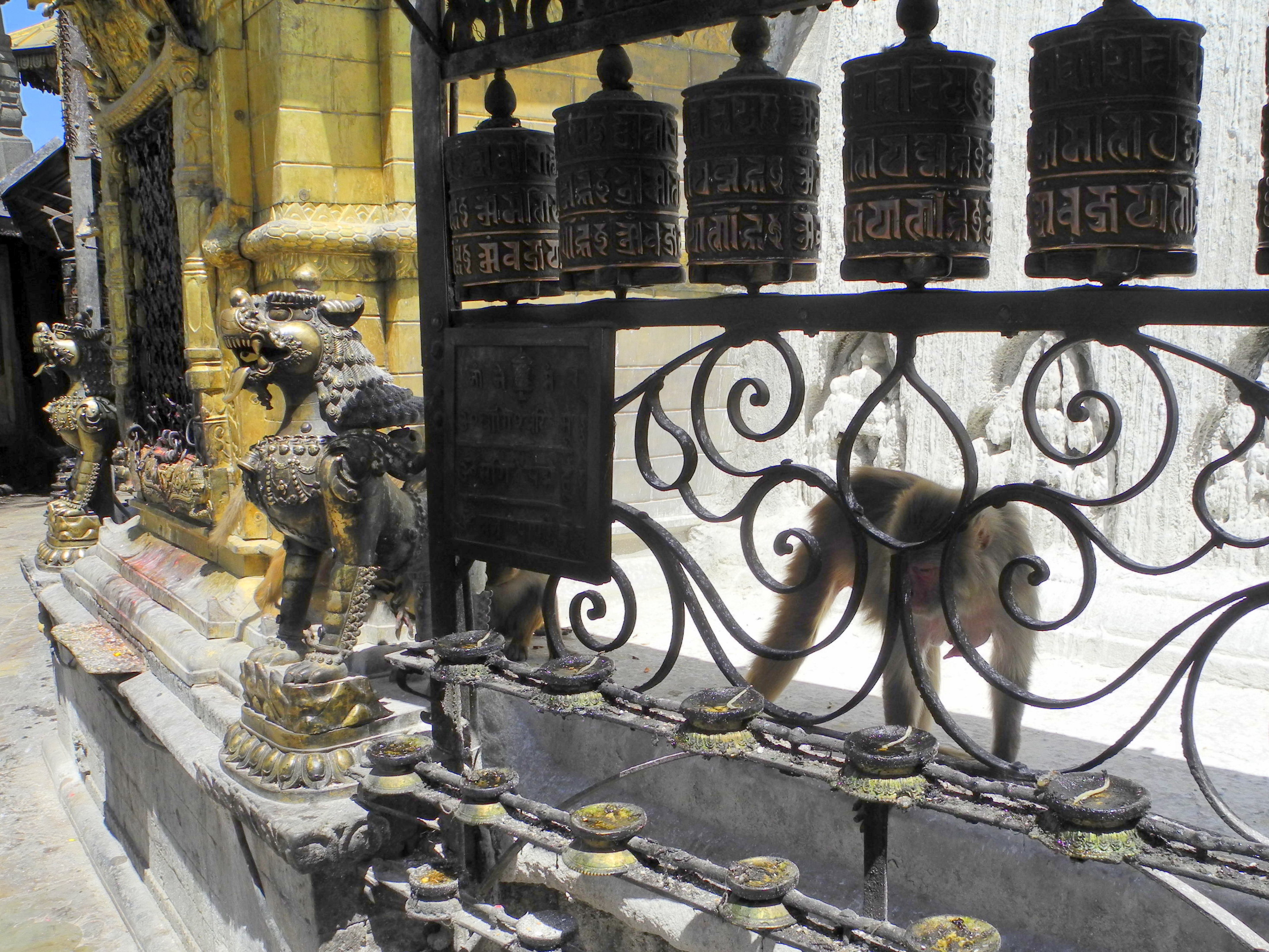
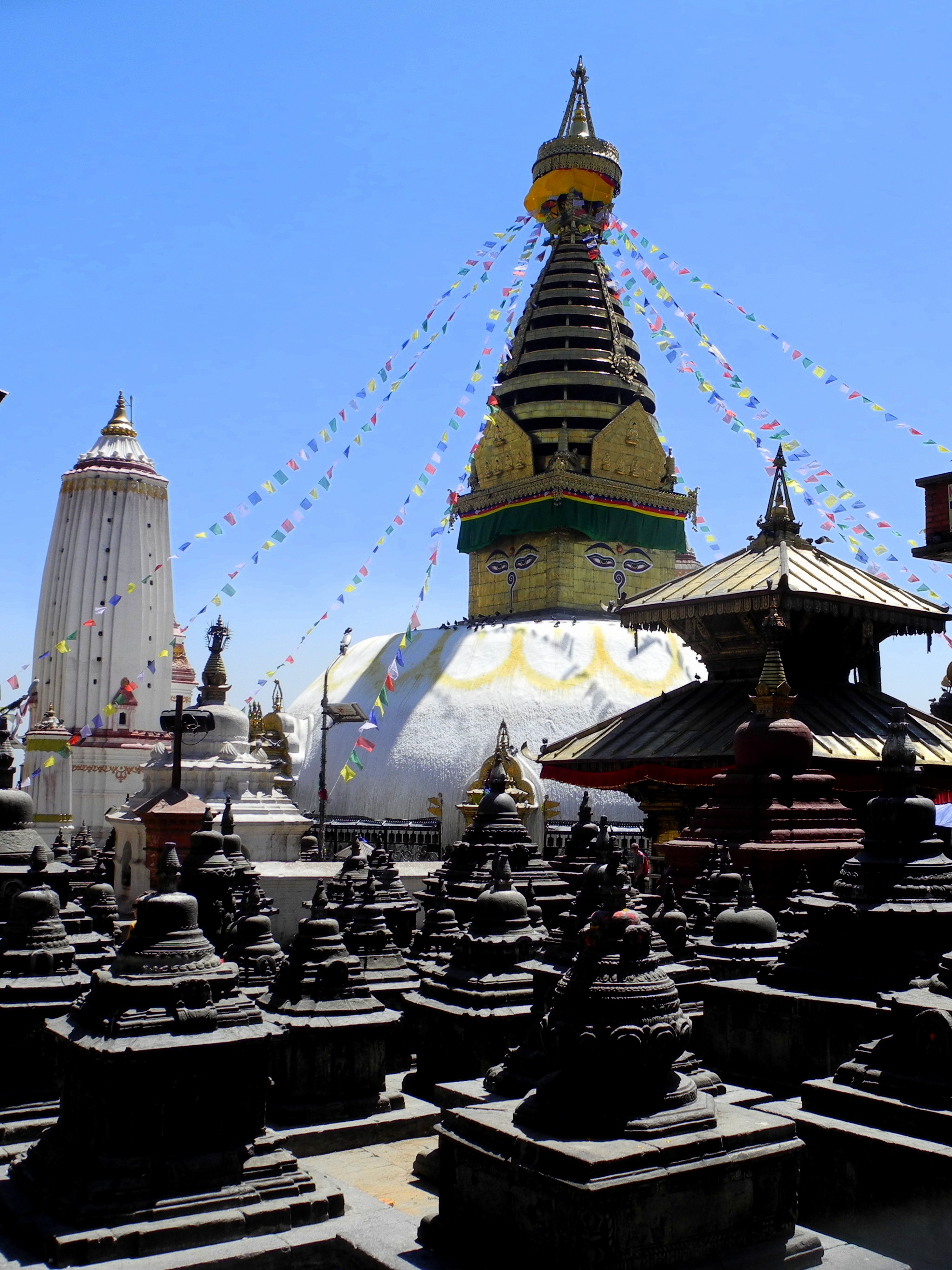
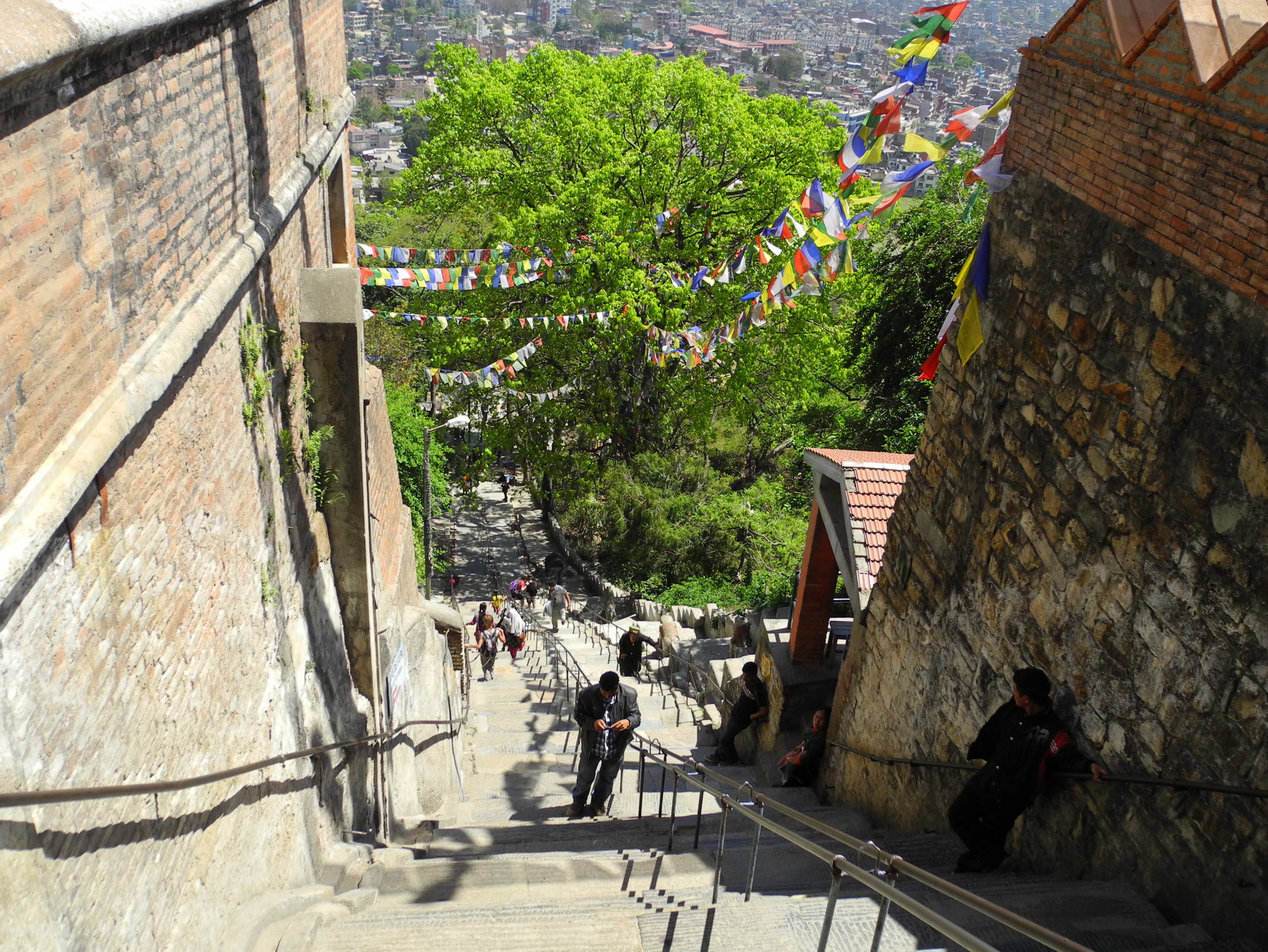
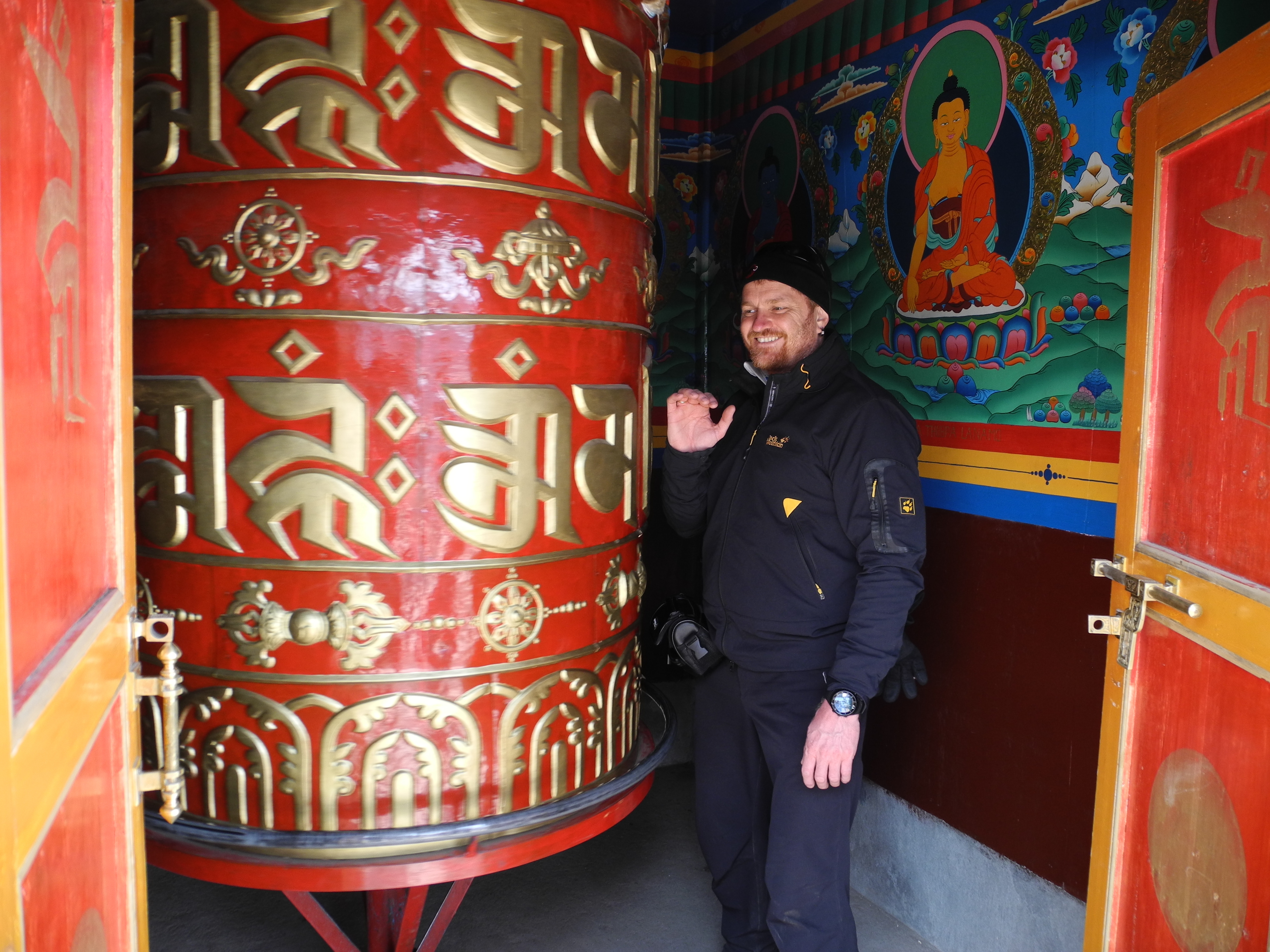
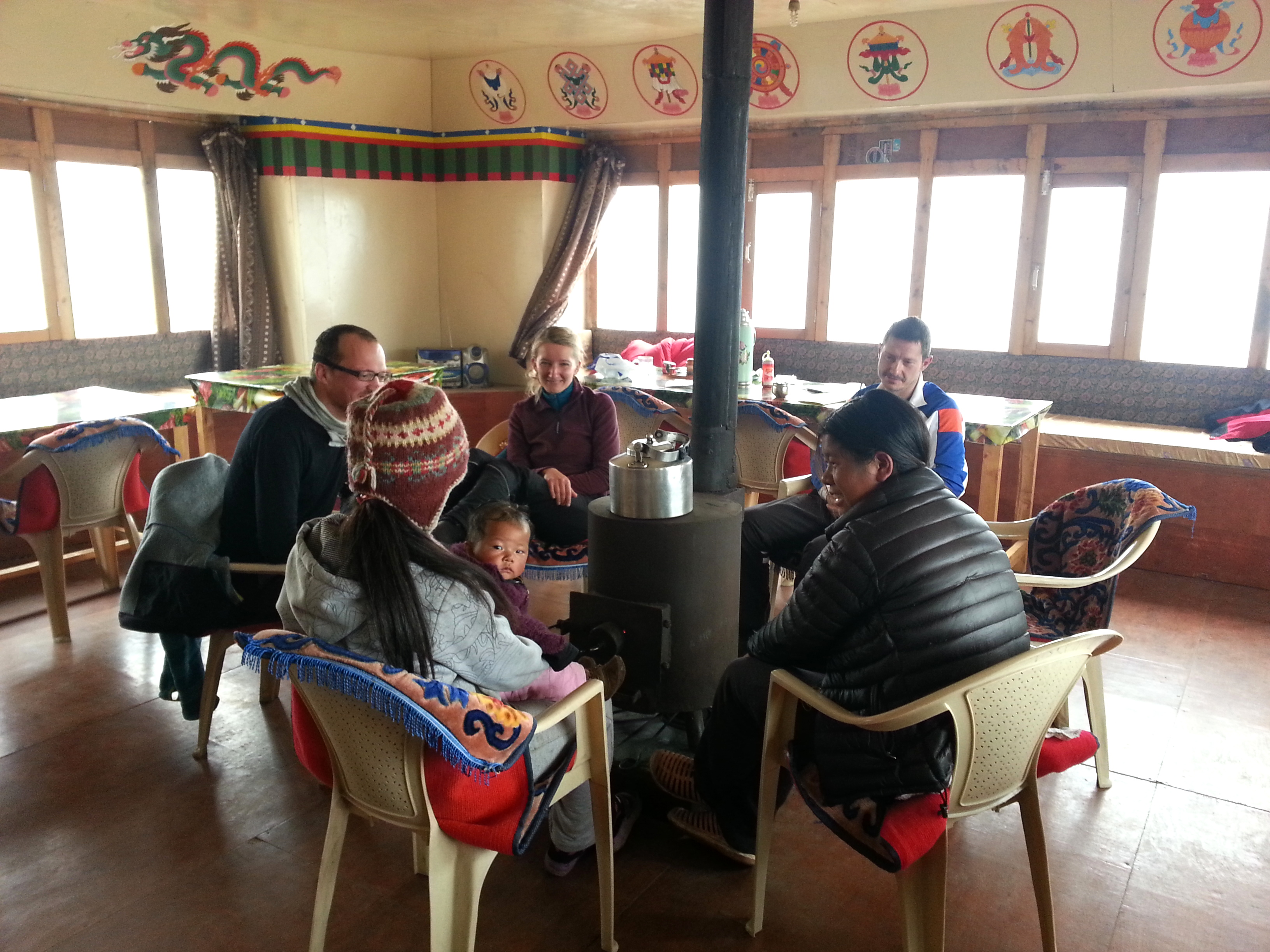
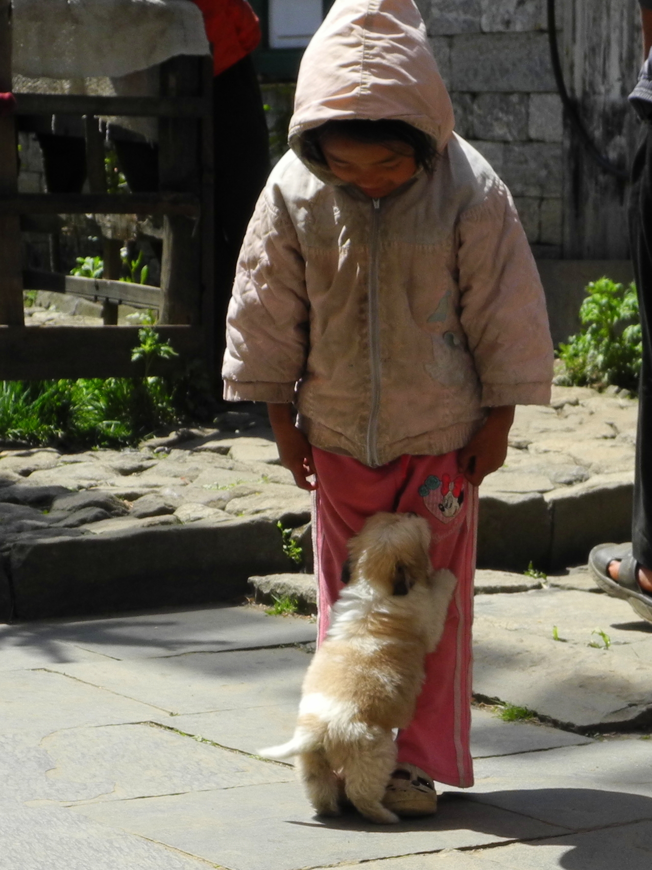
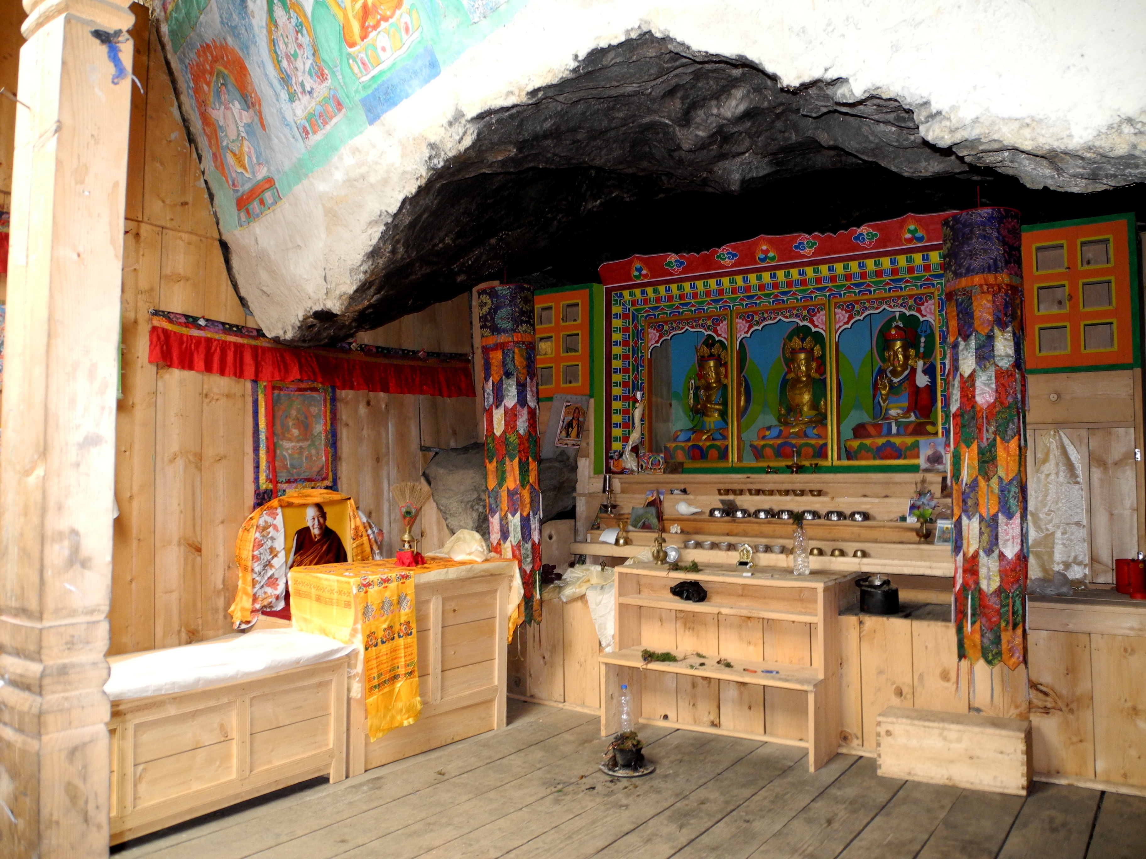
Our journey began in Kathmandu. We used the first few days to get to know our guide Surcha Tamang and ease ourselves in gently. A little sightseeing was part of it – including the Monkey Temple – but after that things got serious quickly.

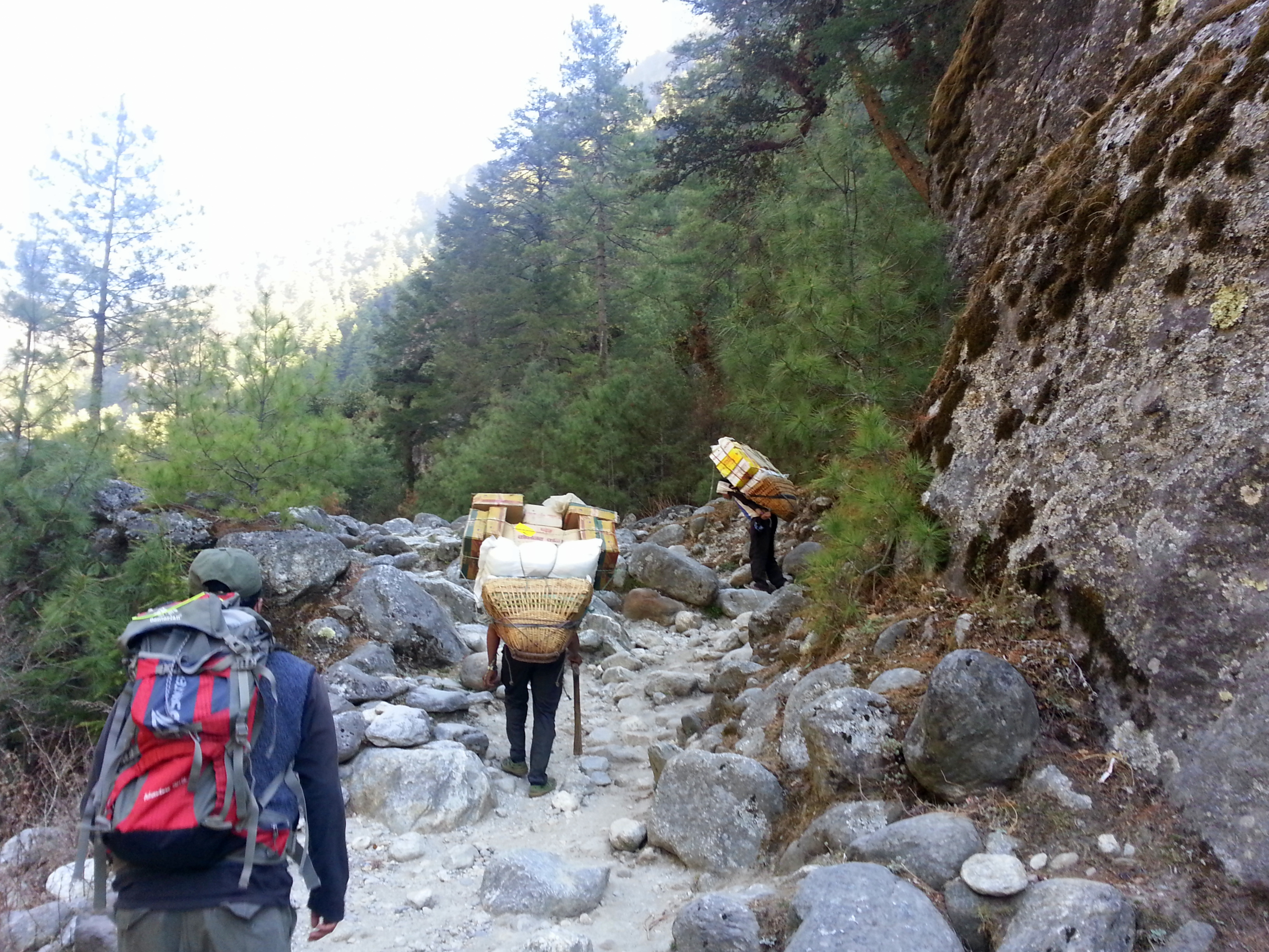
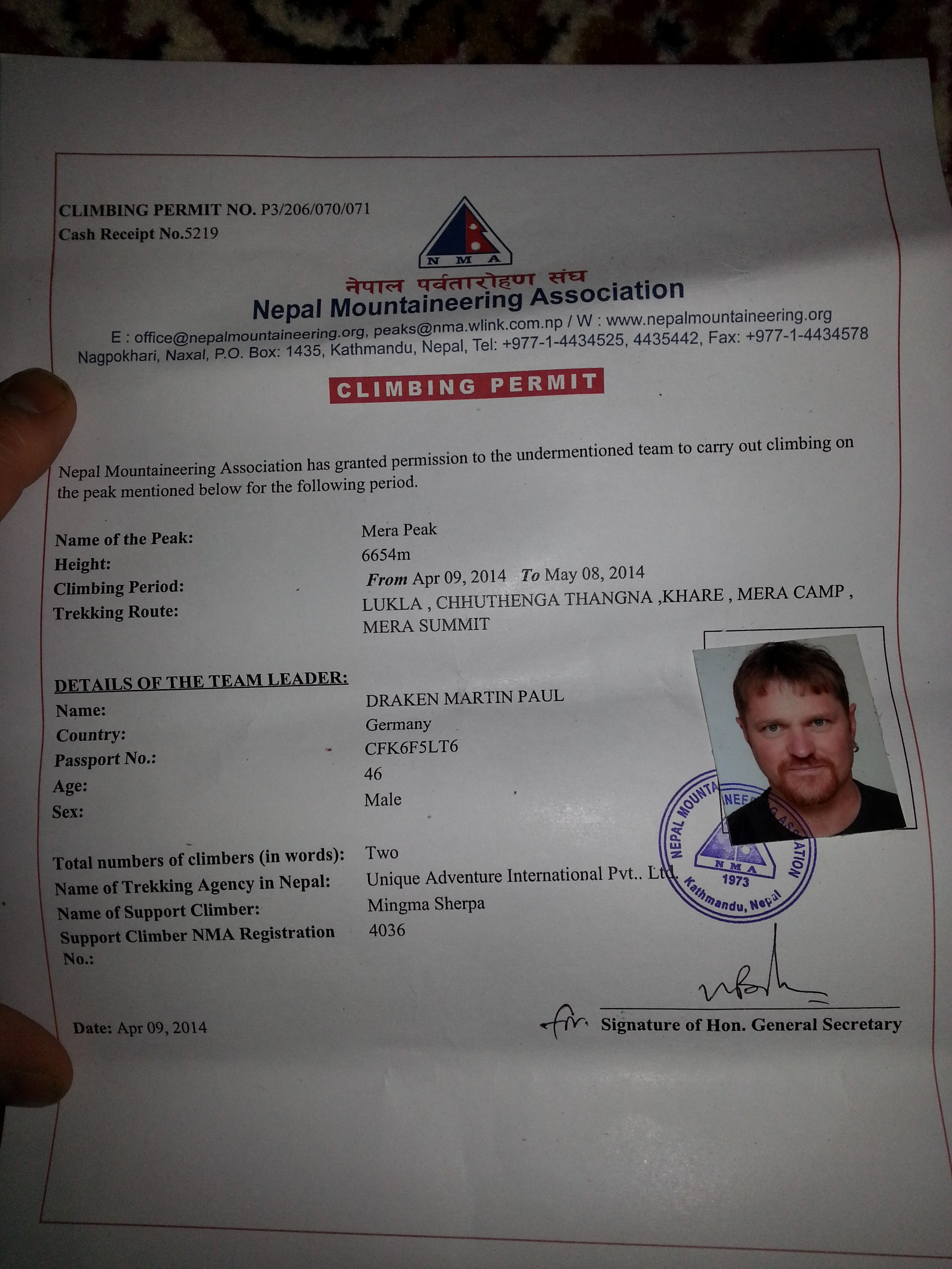
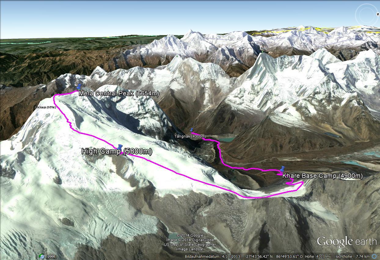
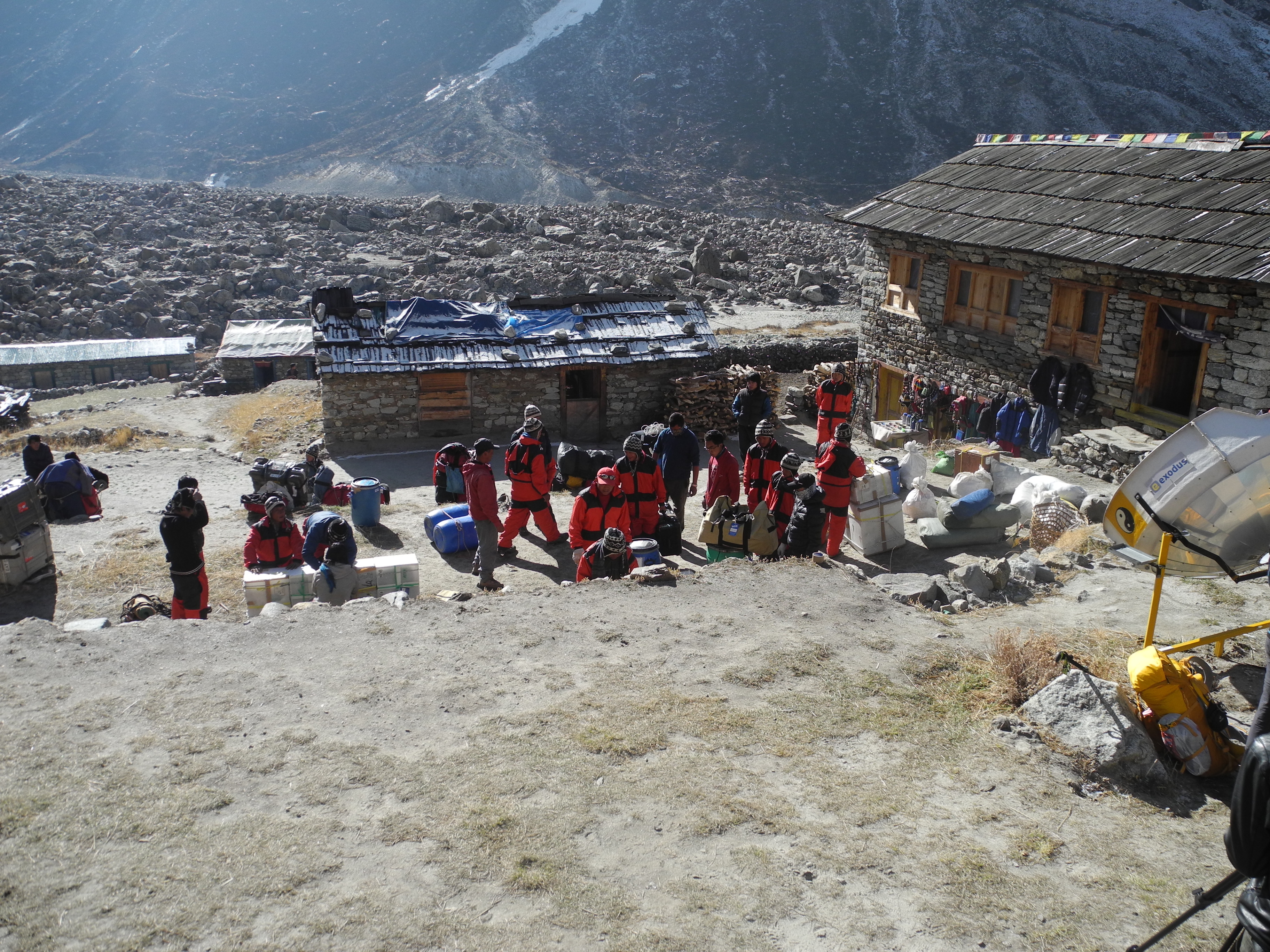
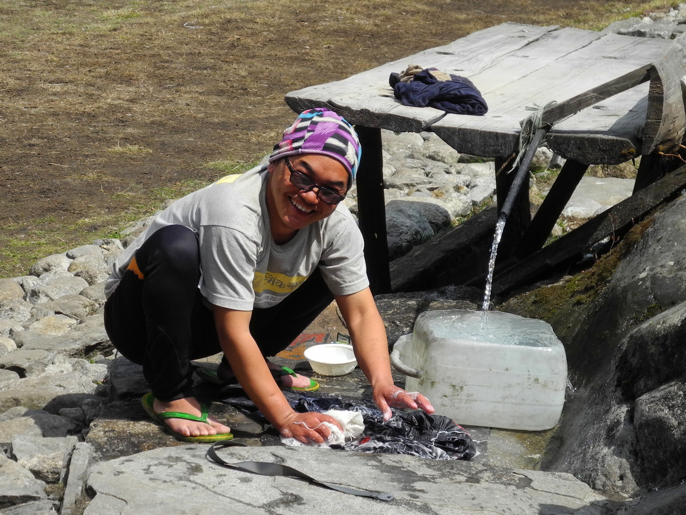
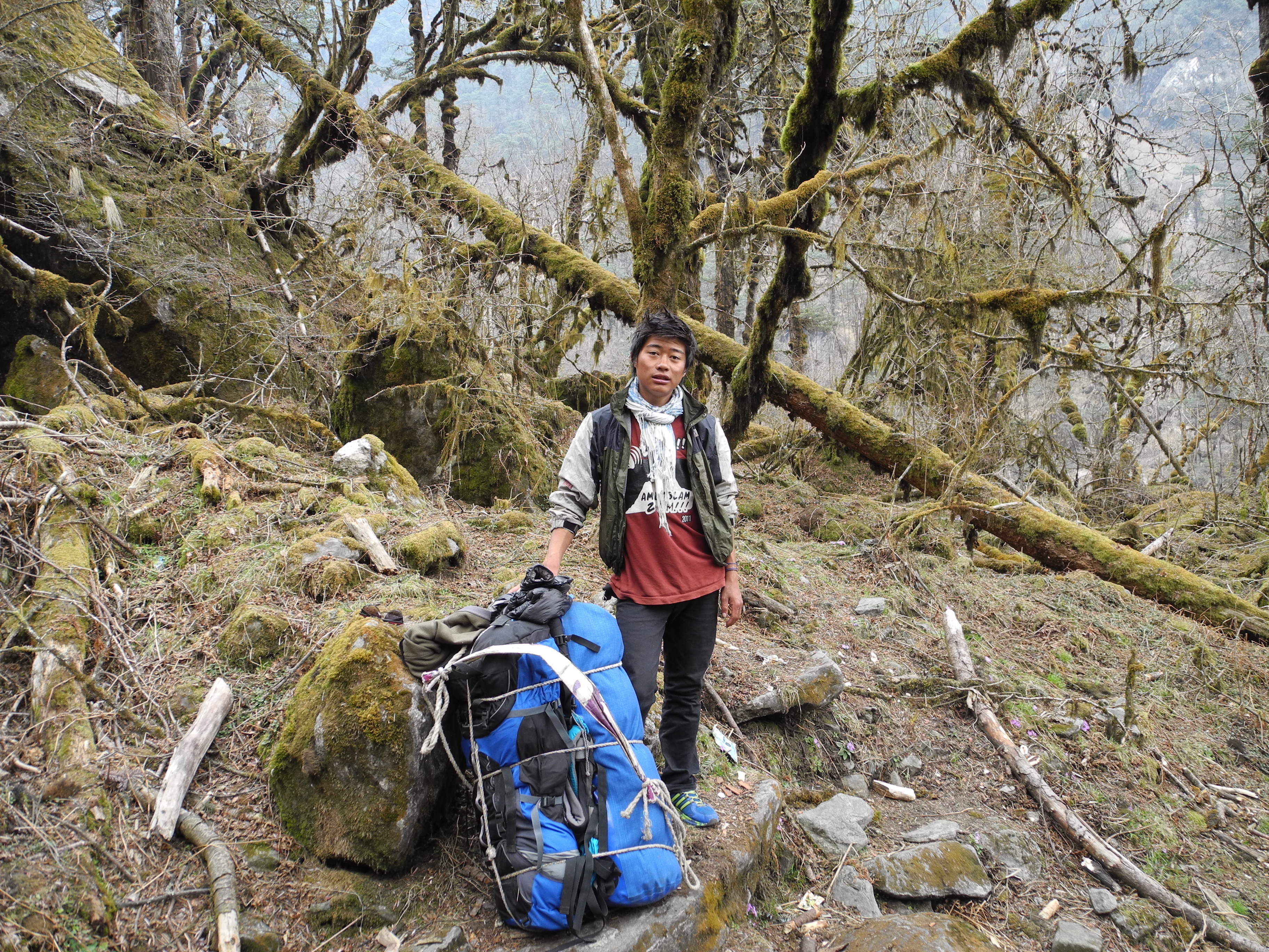
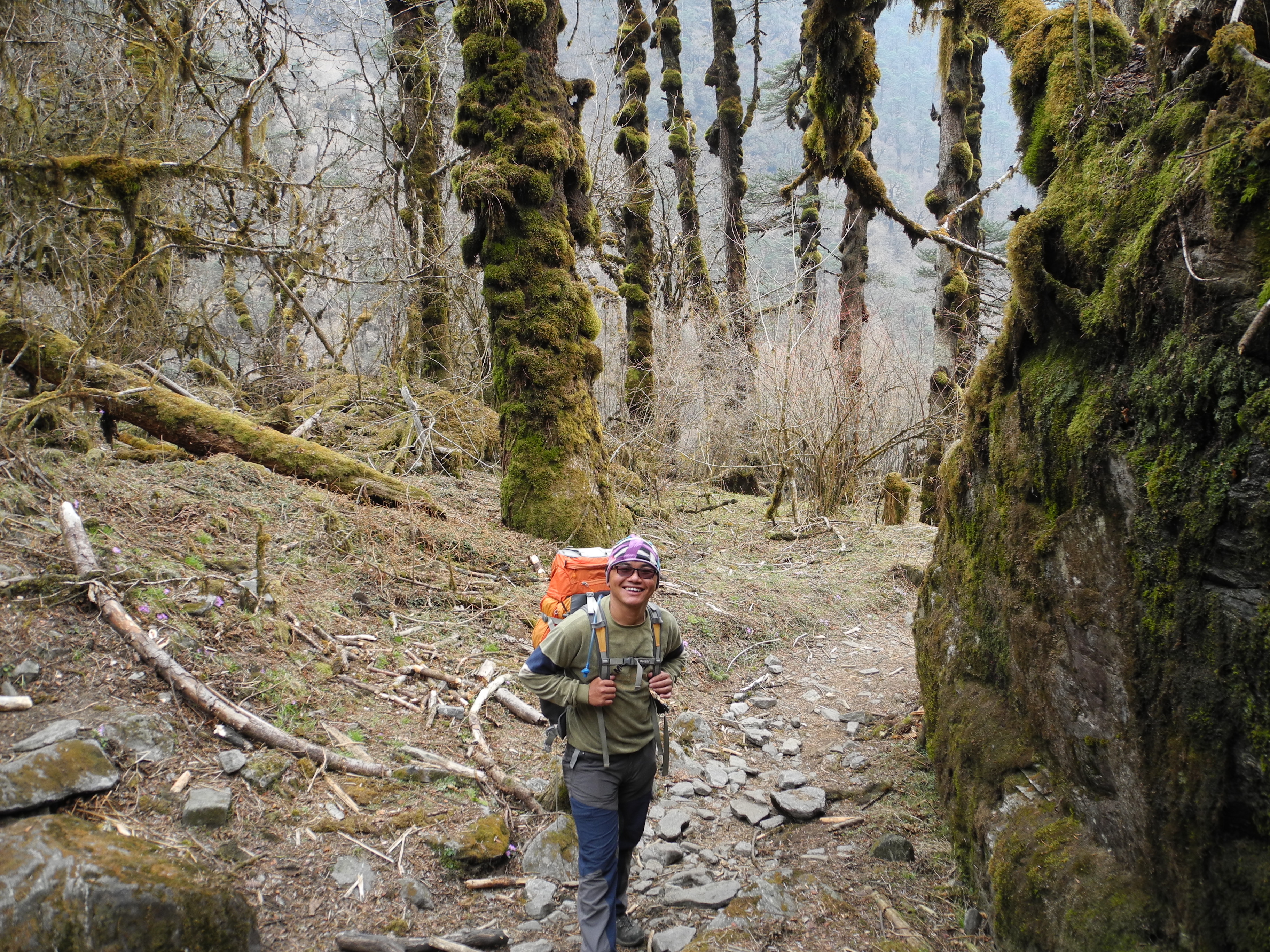
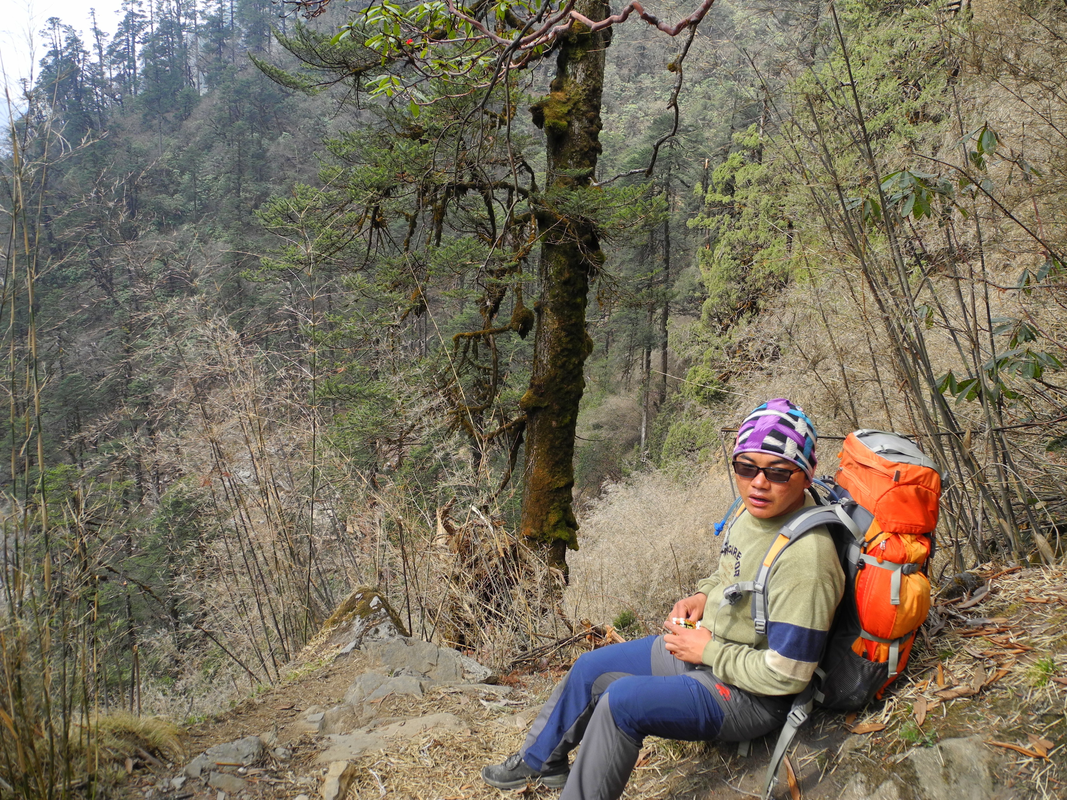
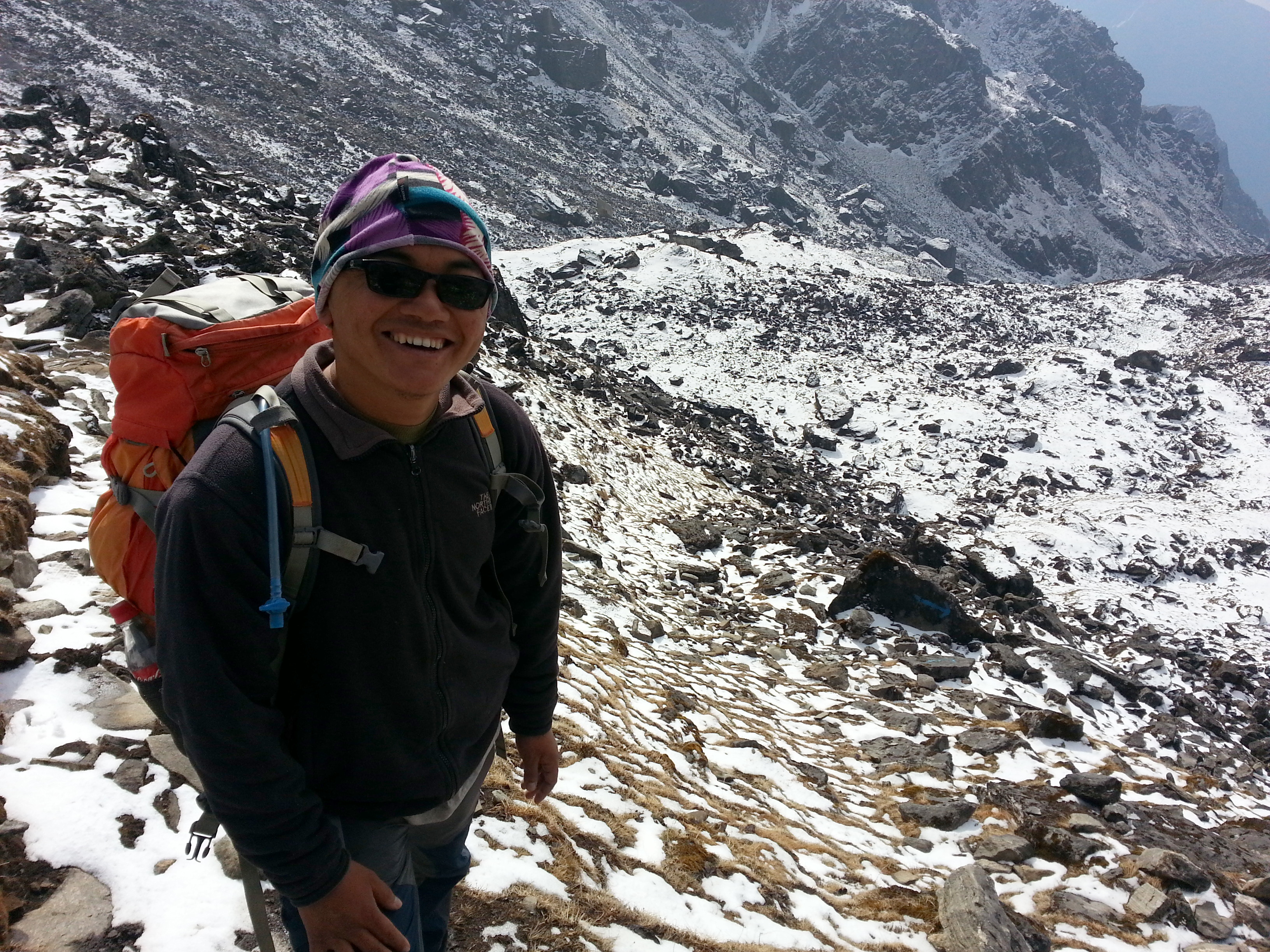
Our goal was the 6,654 m Mera Peak, located in the Makalu-Barun National Park. But before heading to the target mountain, we started with a ten-day acclimatisation trek. From the very beginning we travelled as a small, tight-knit group: my climbing partner Tom, our Nepali guide Surcha, and me. Our porter Milan joined us later. The great advantage of such a small group is flexibility and independence – decisions are made quickly.

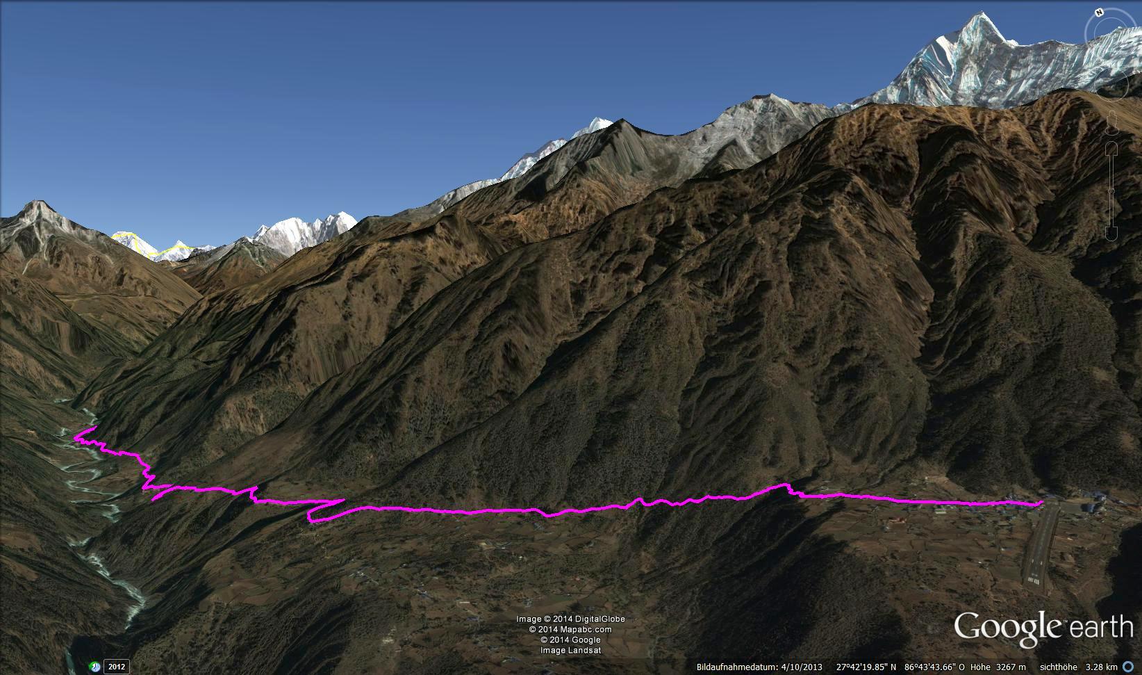
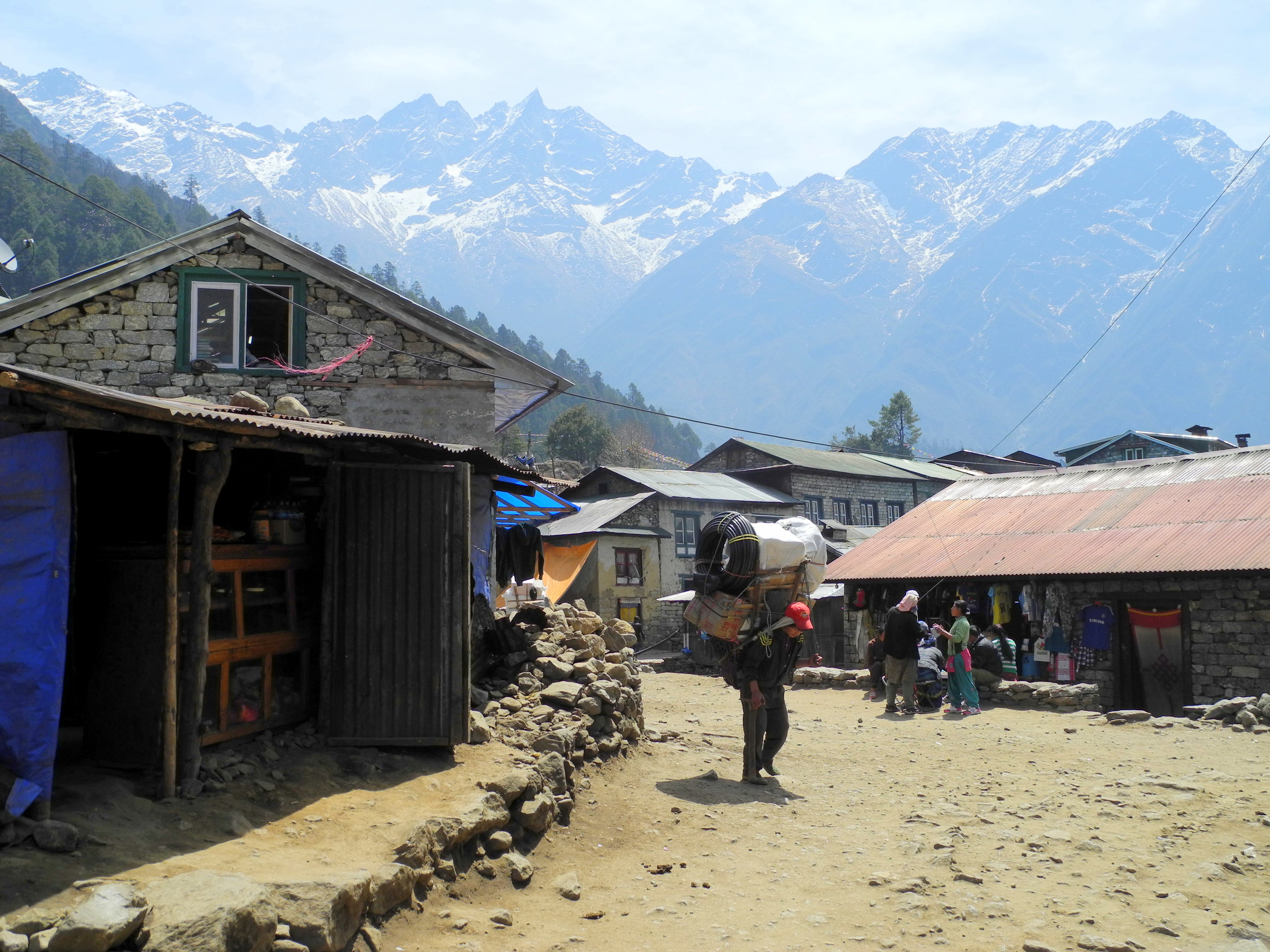
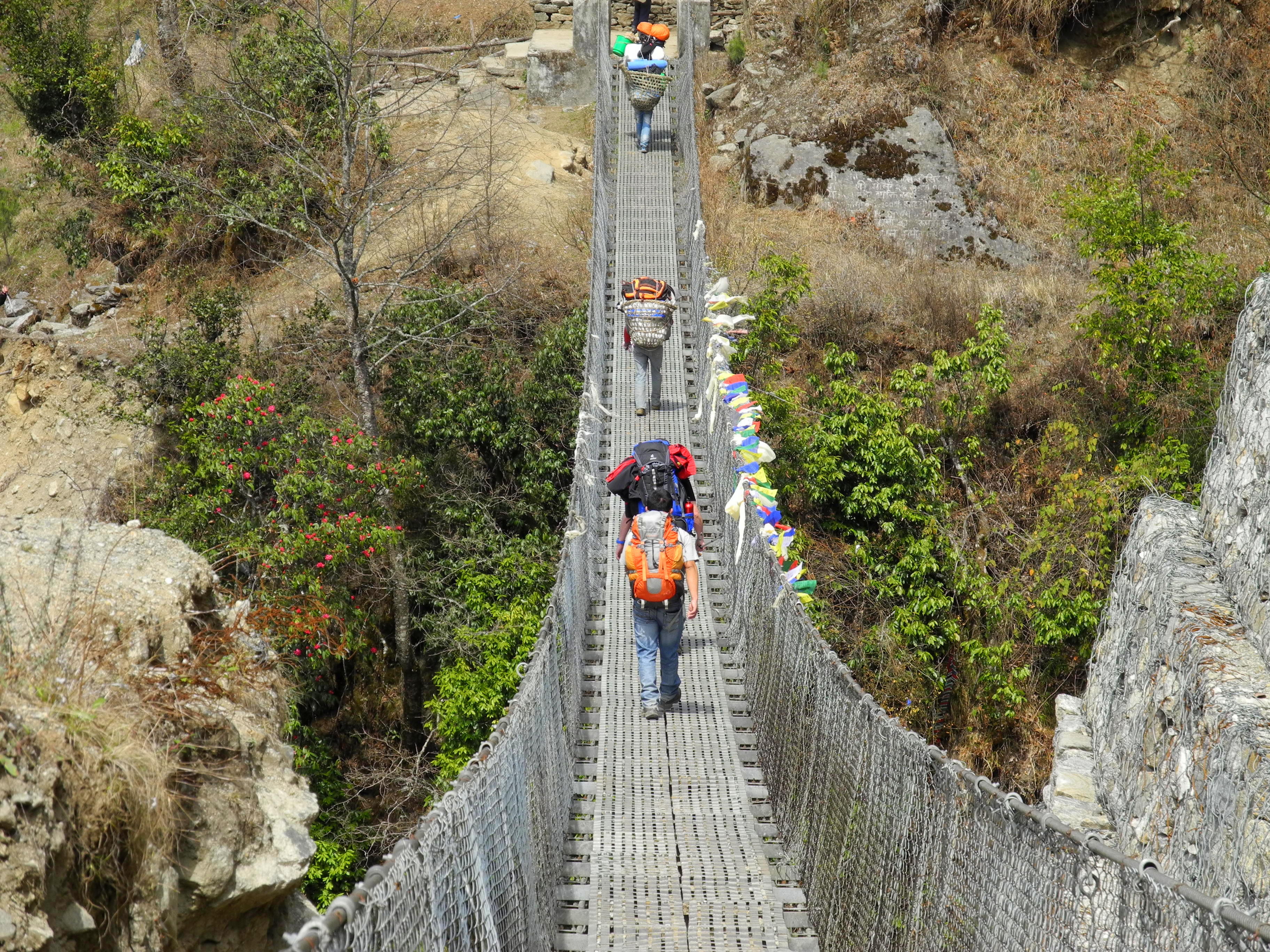
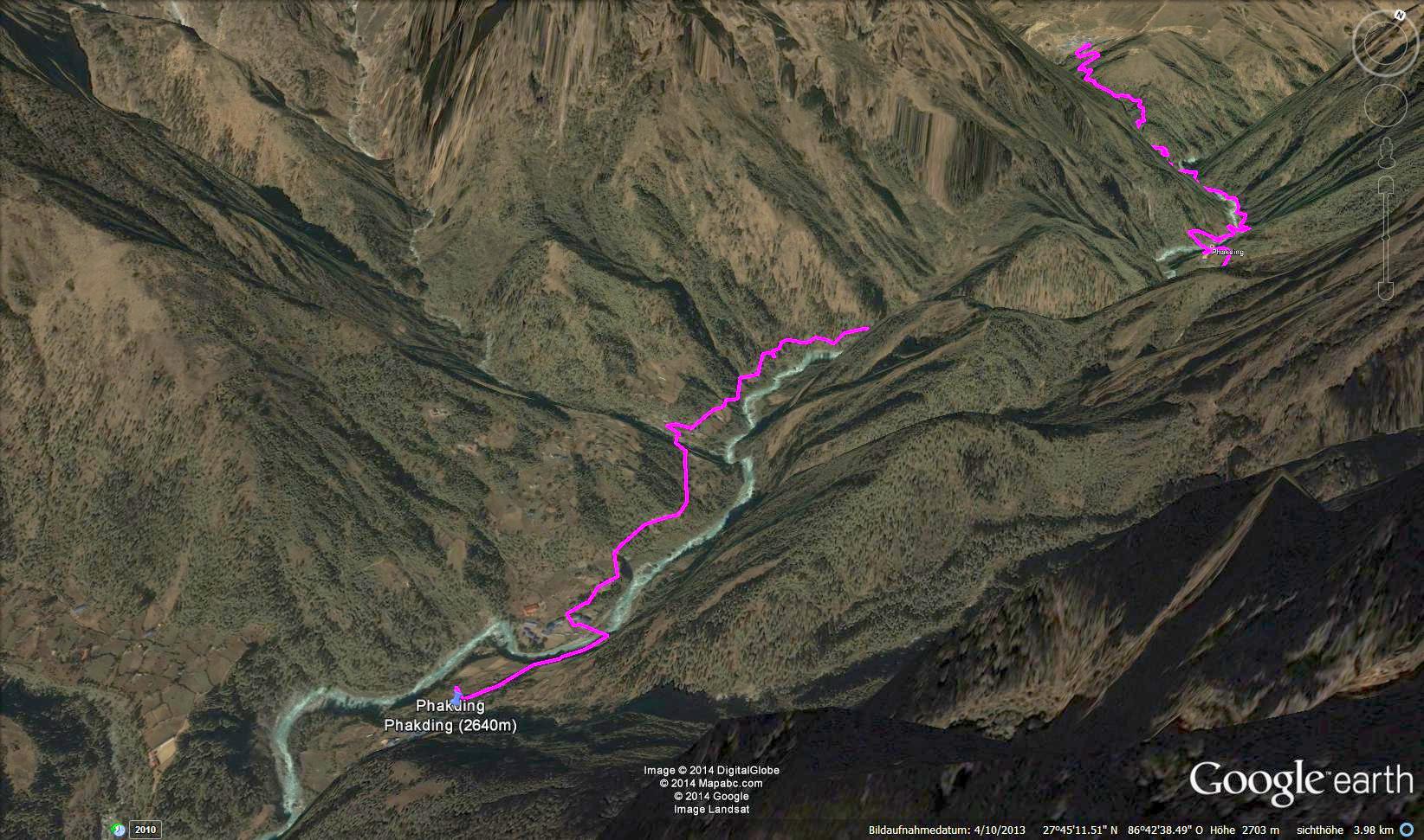
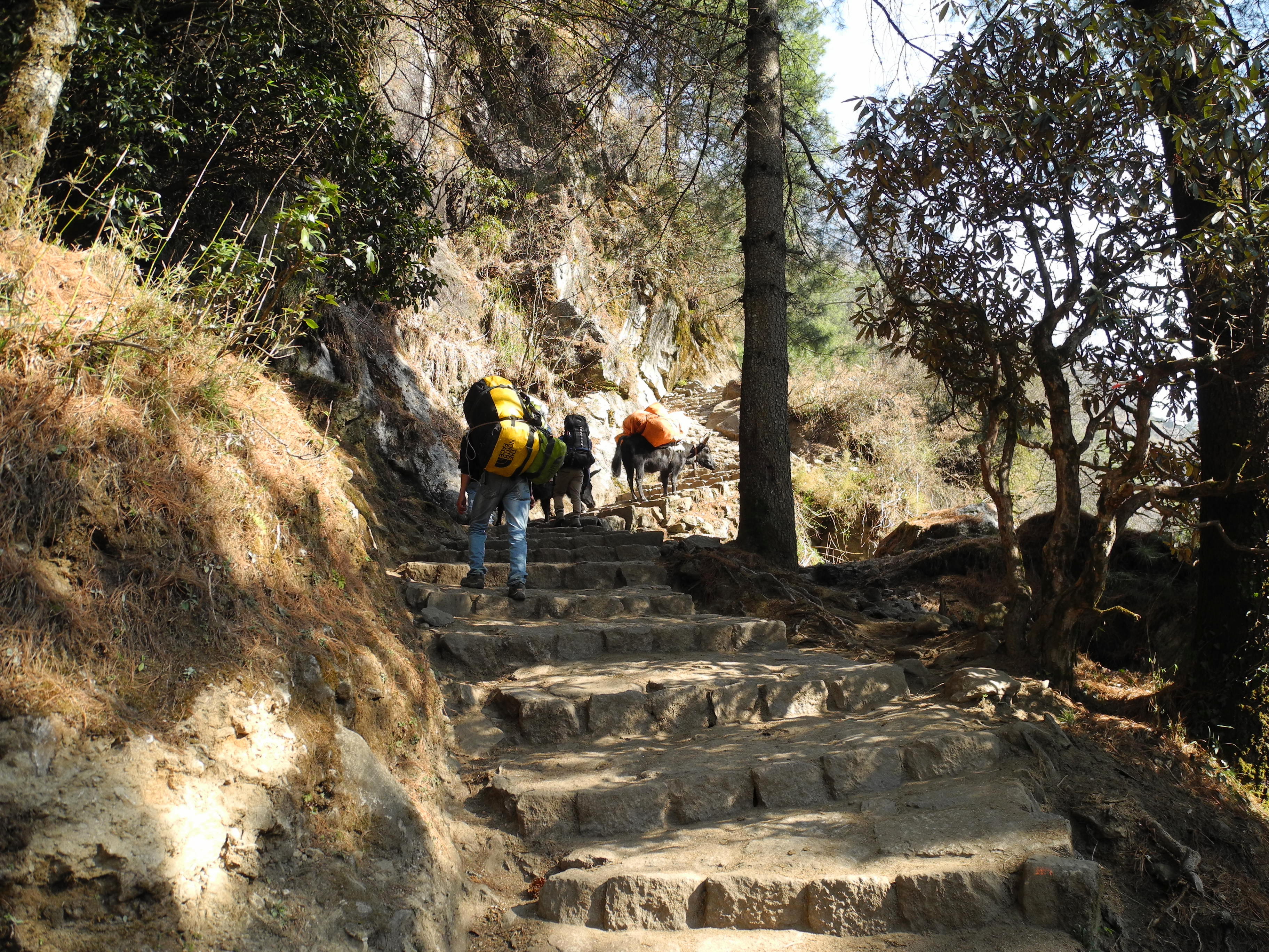
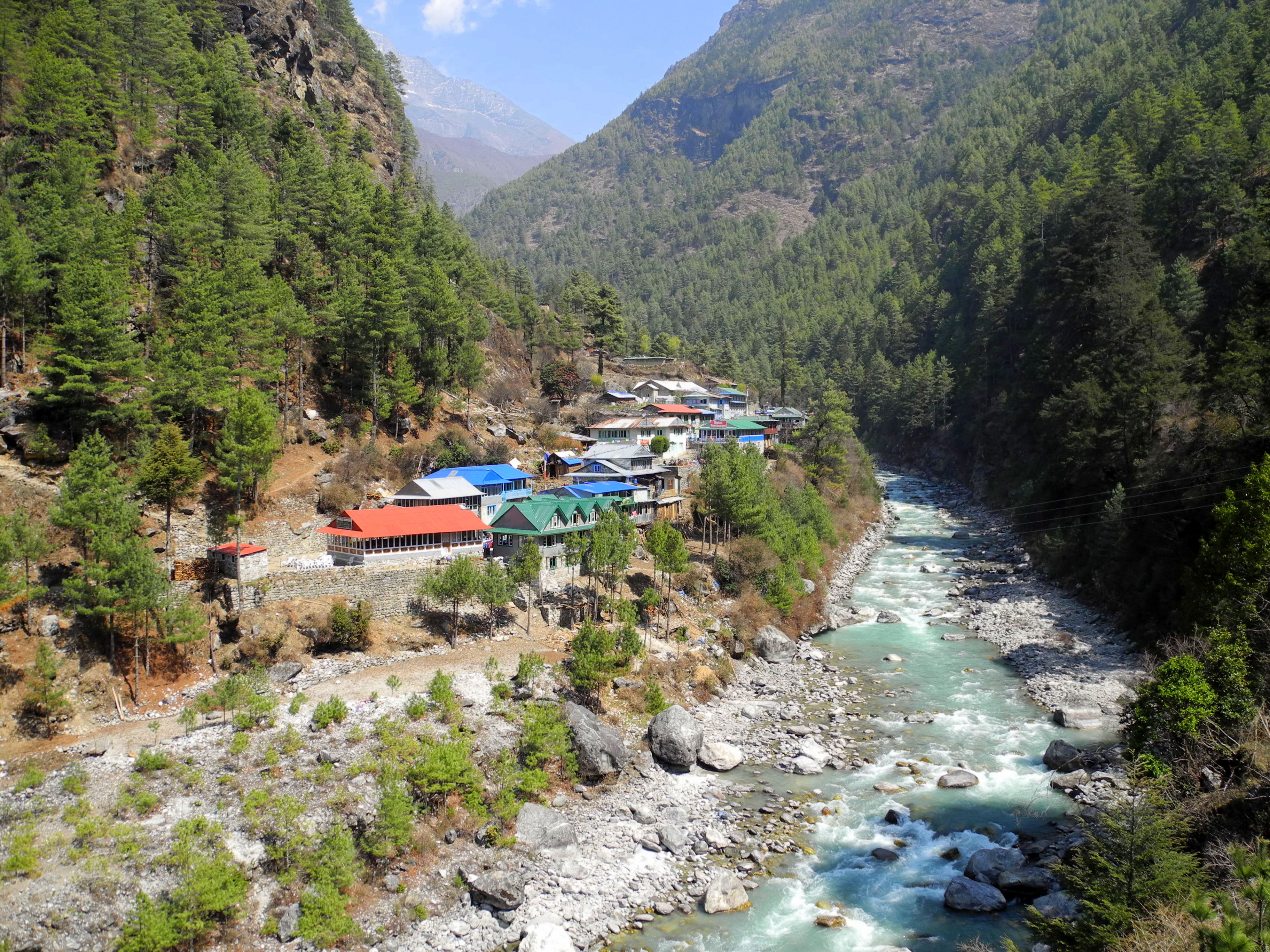
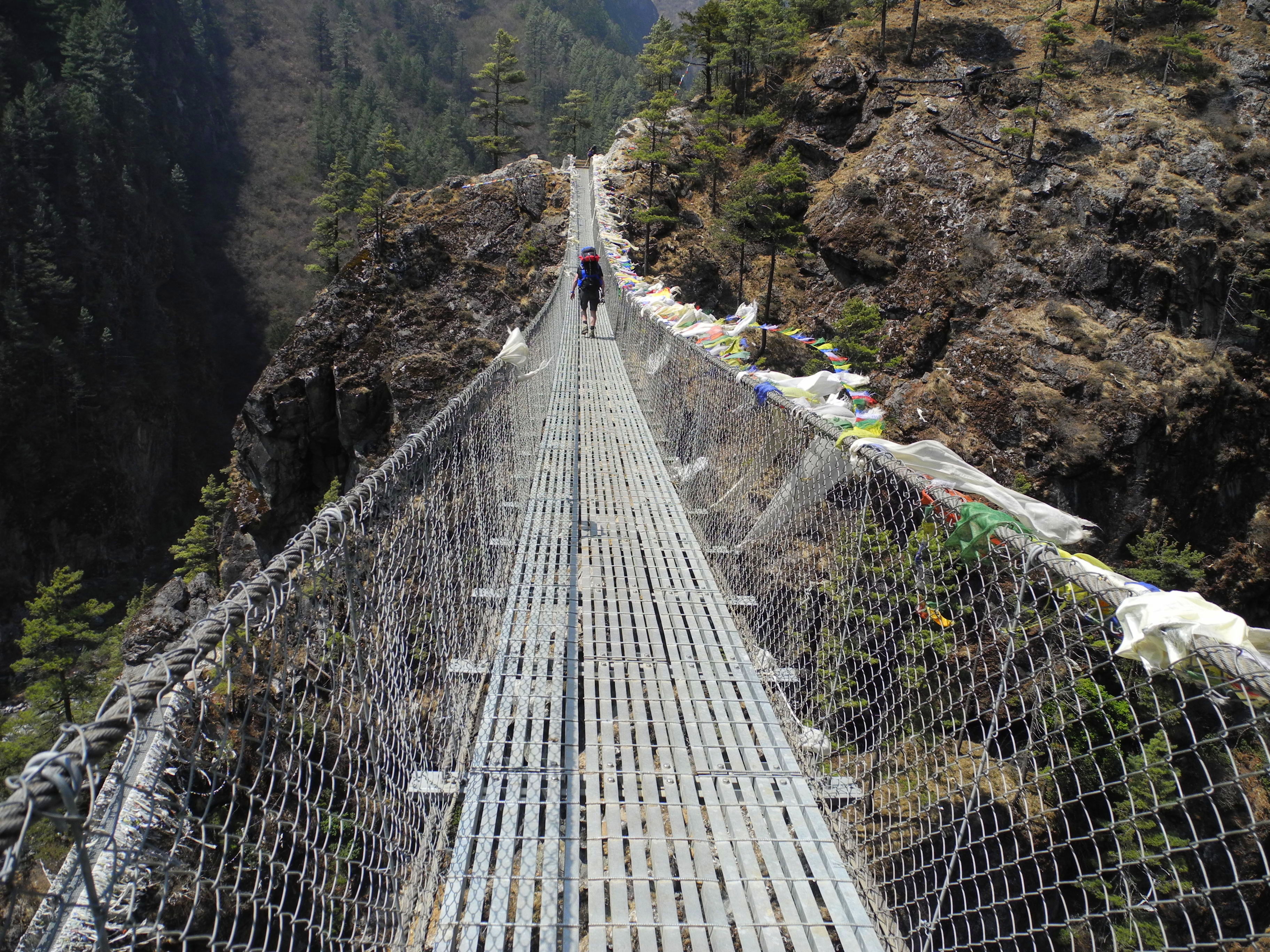
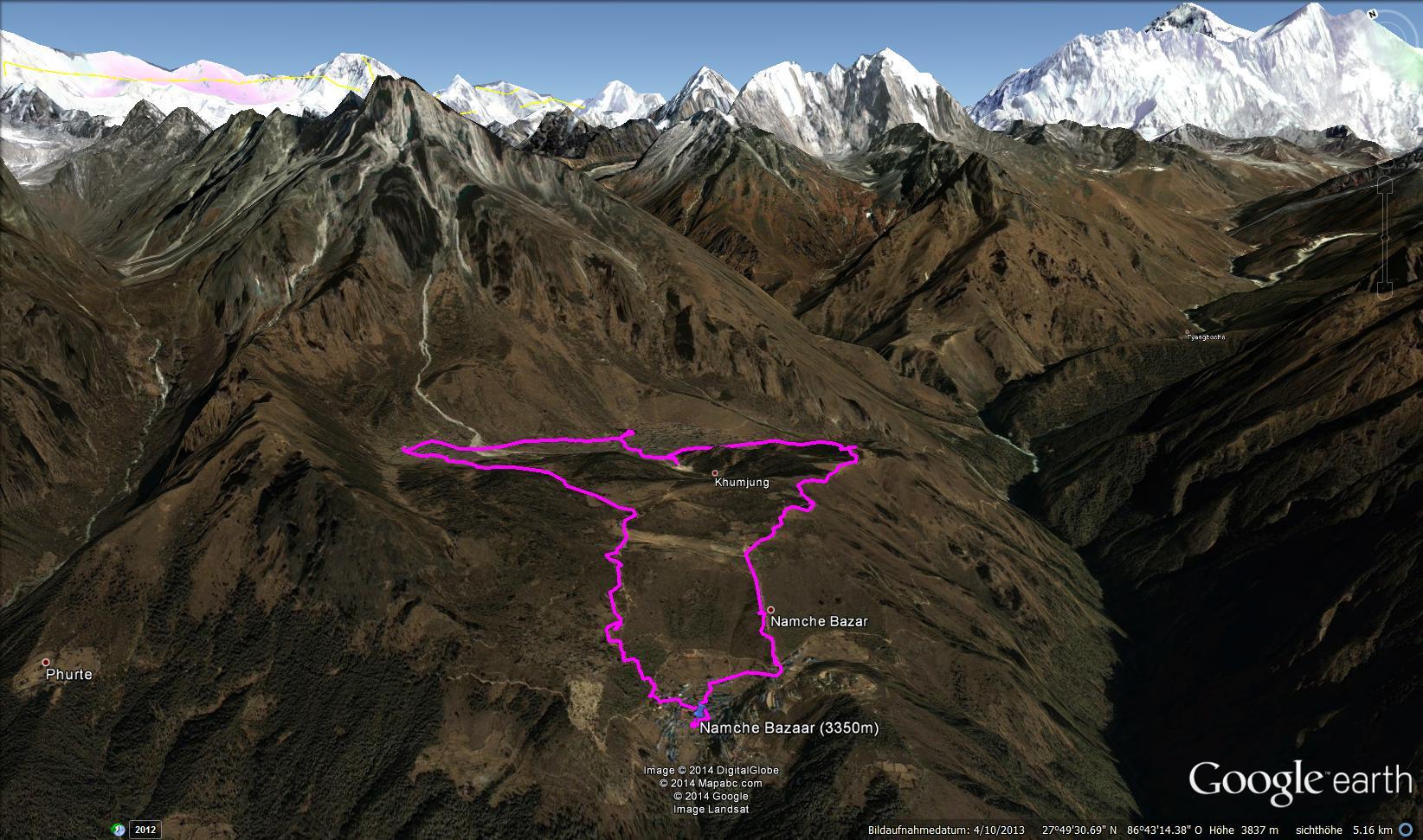
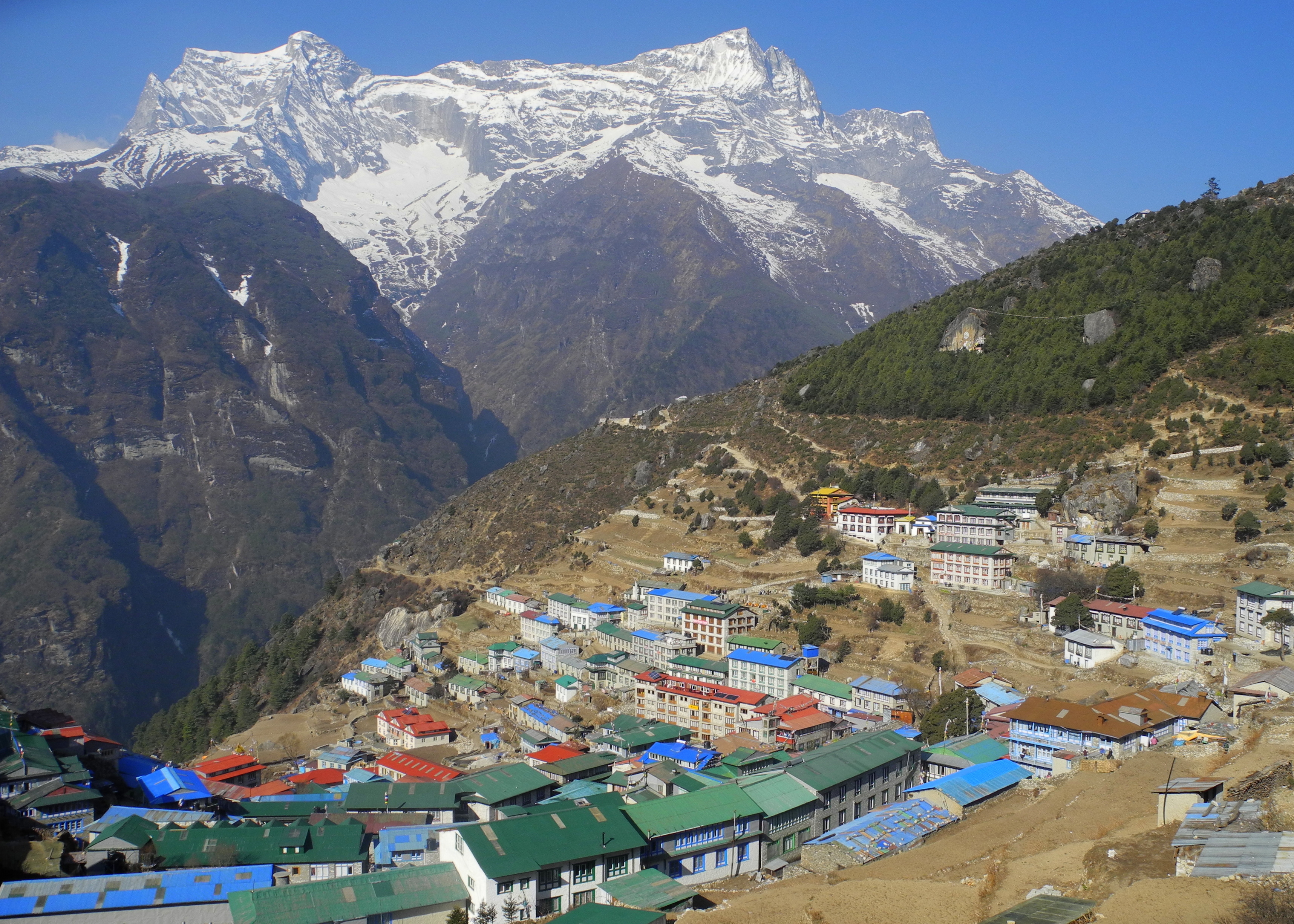
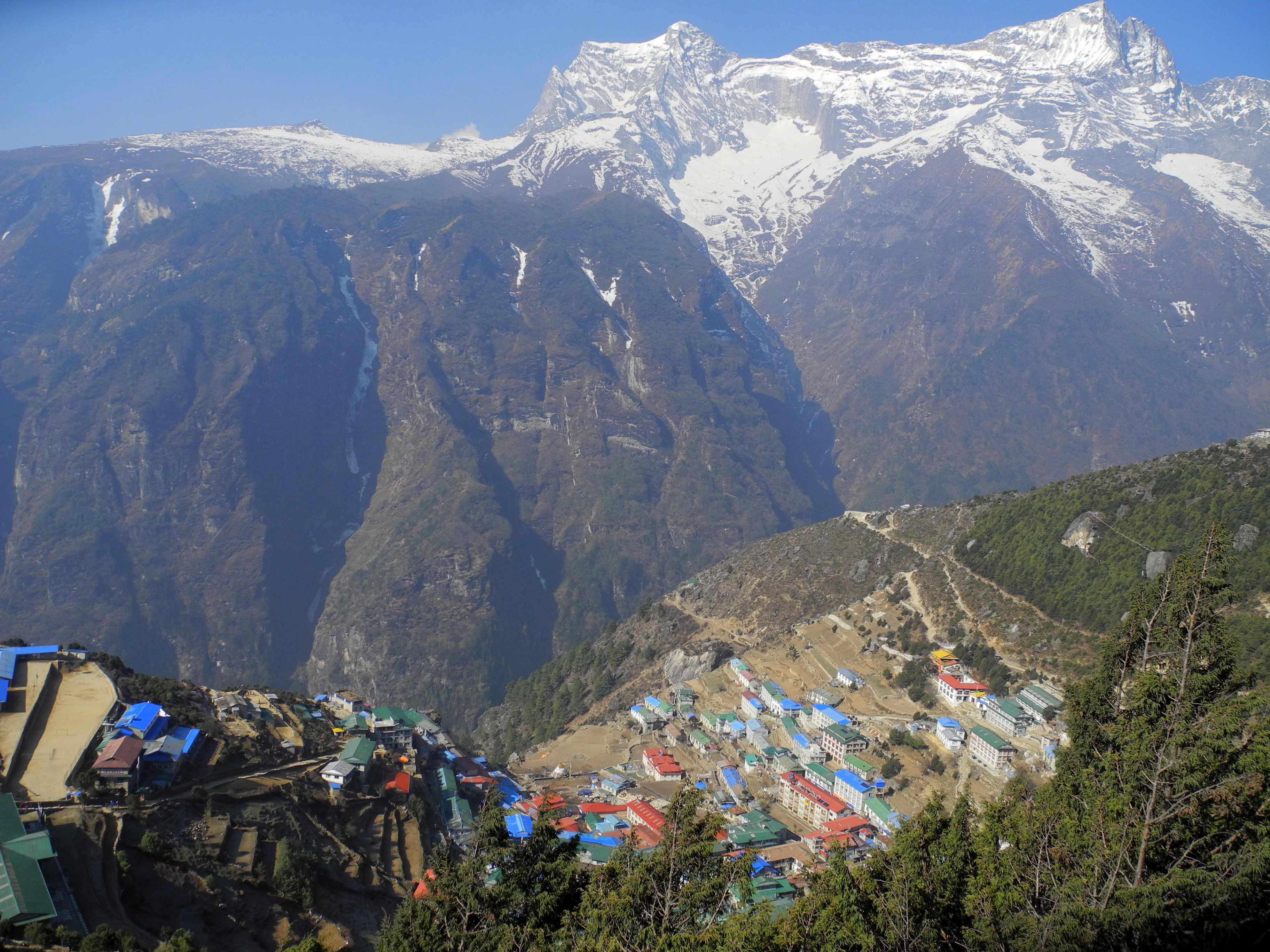
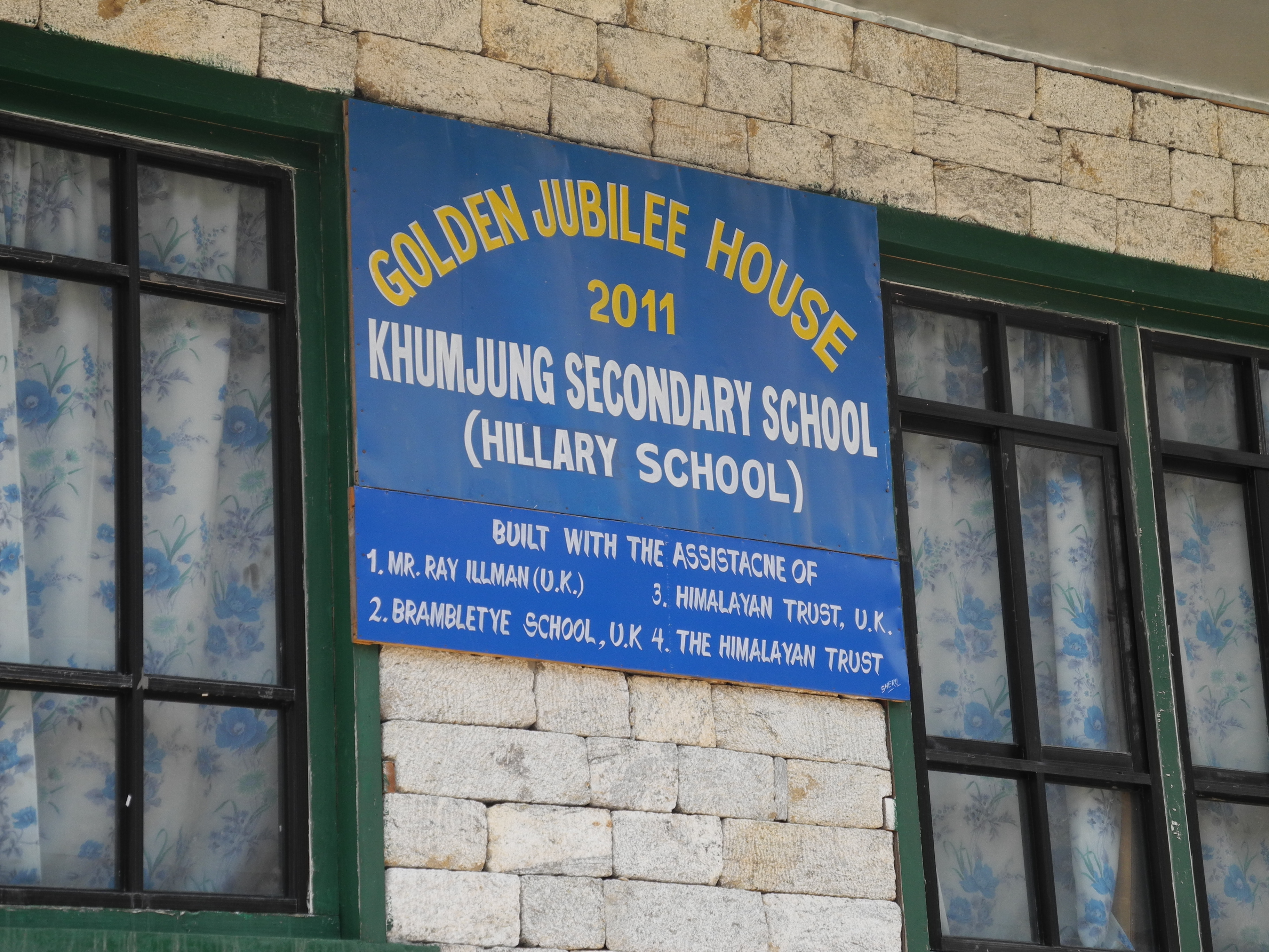
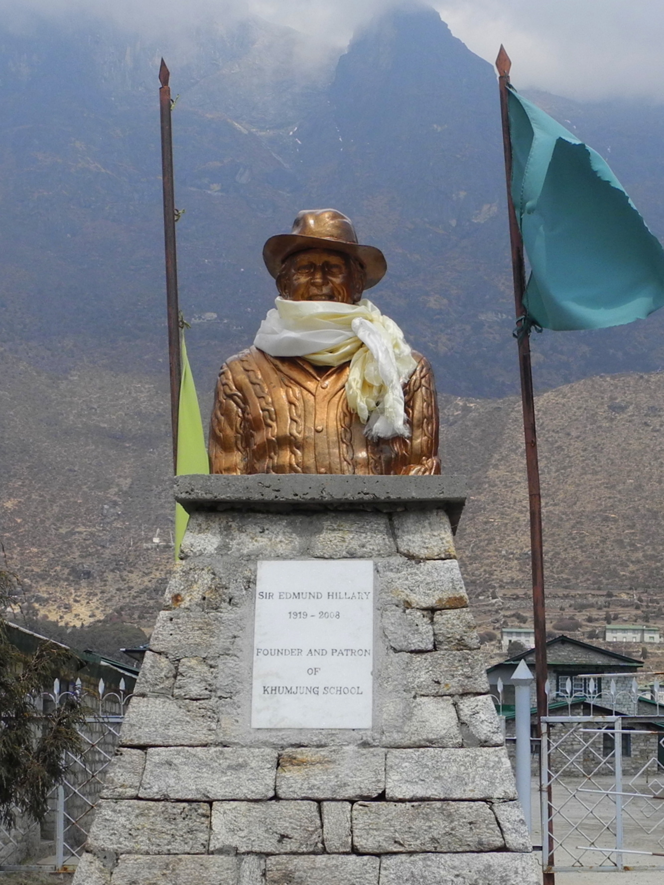
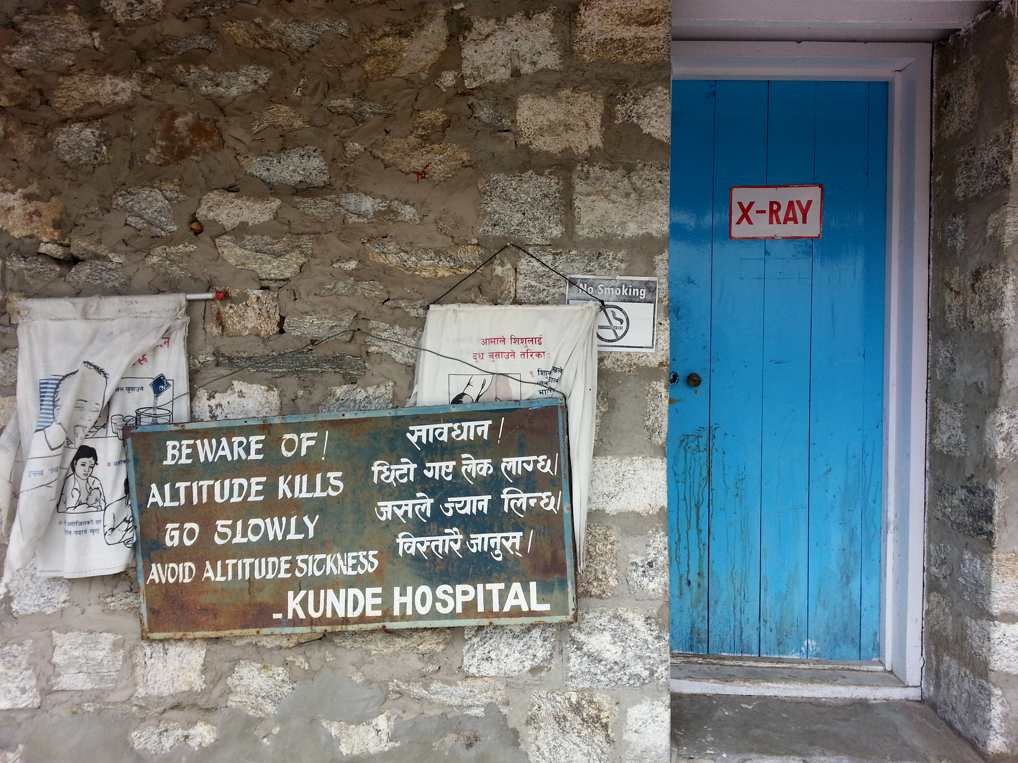
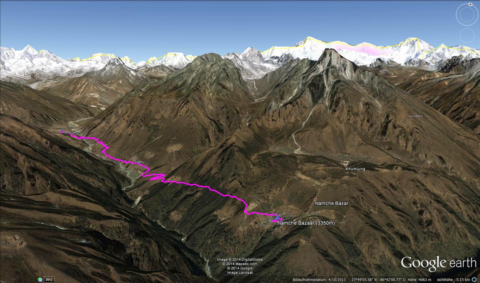
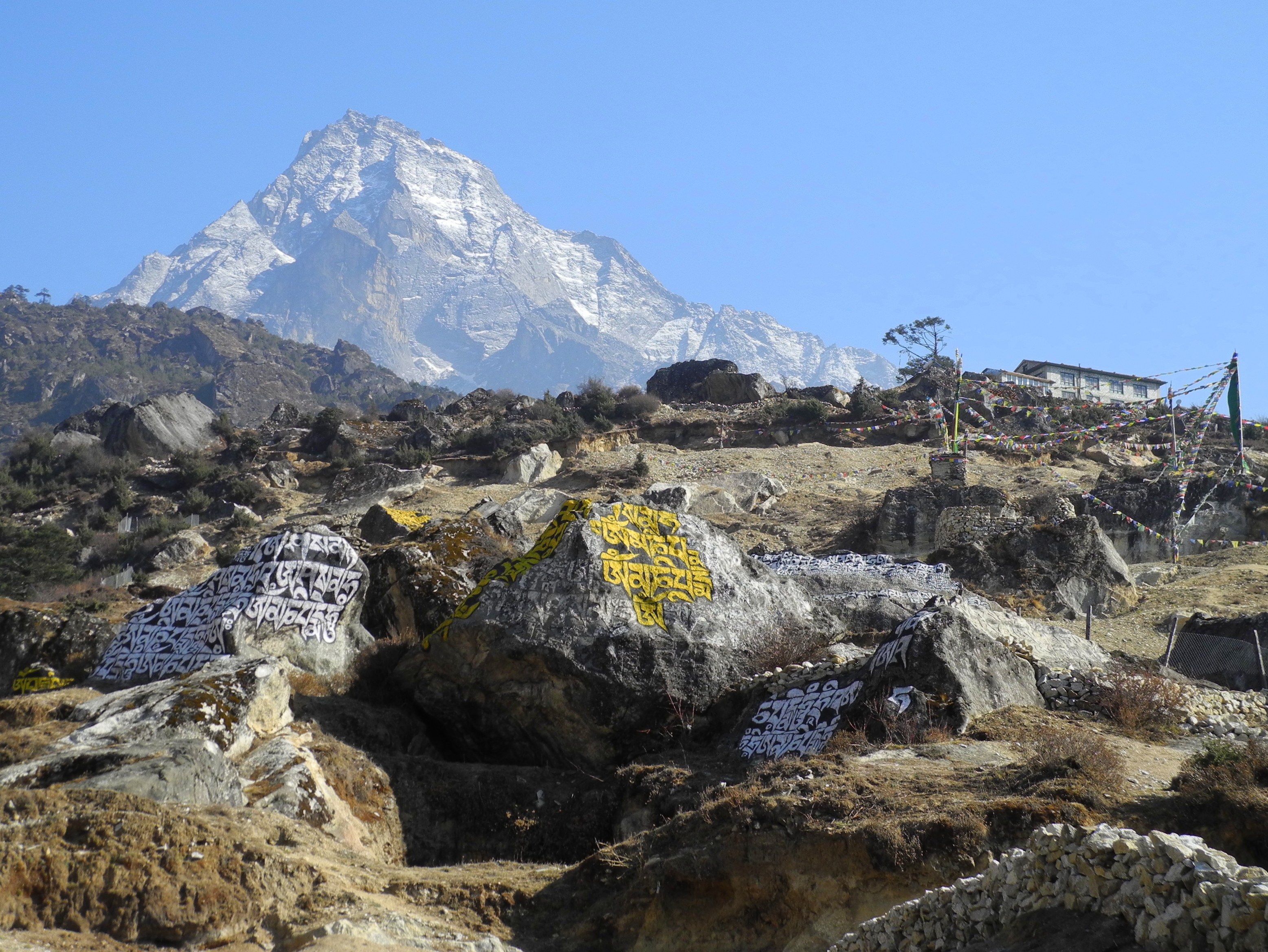
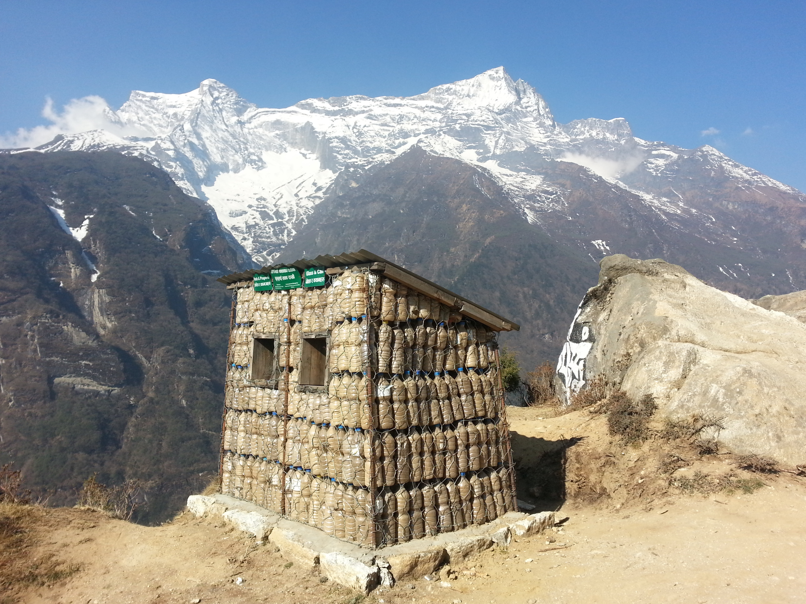
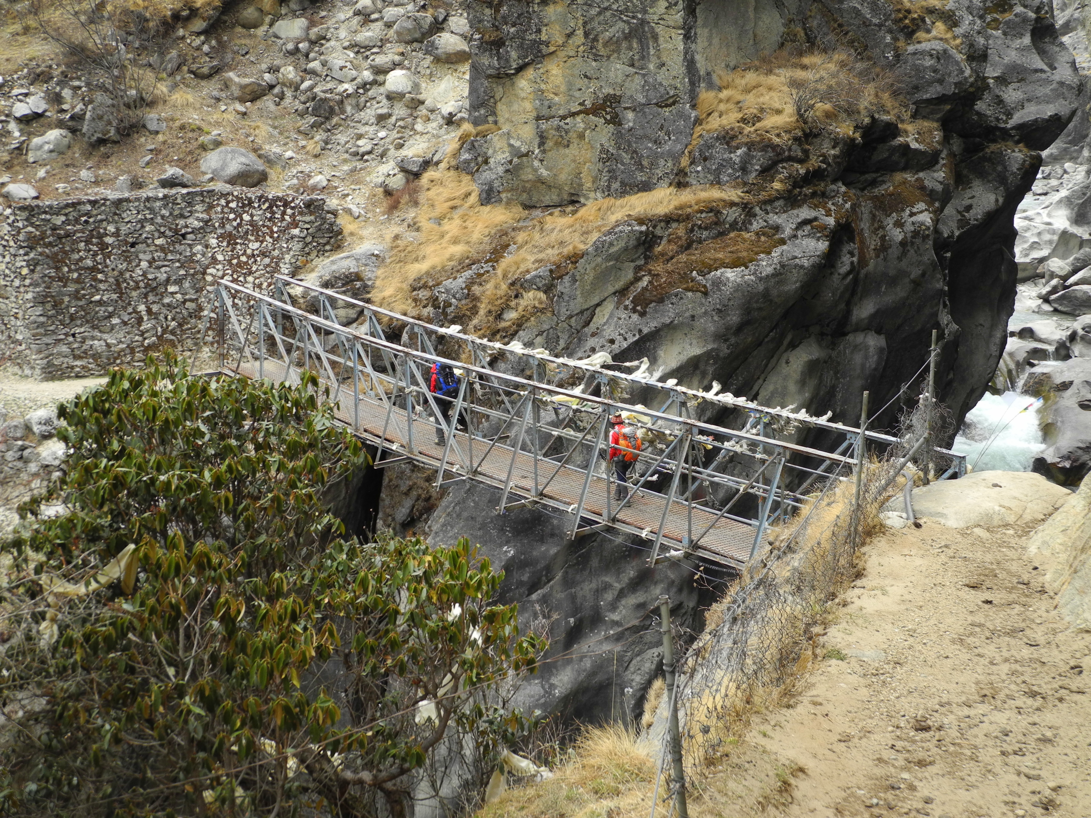
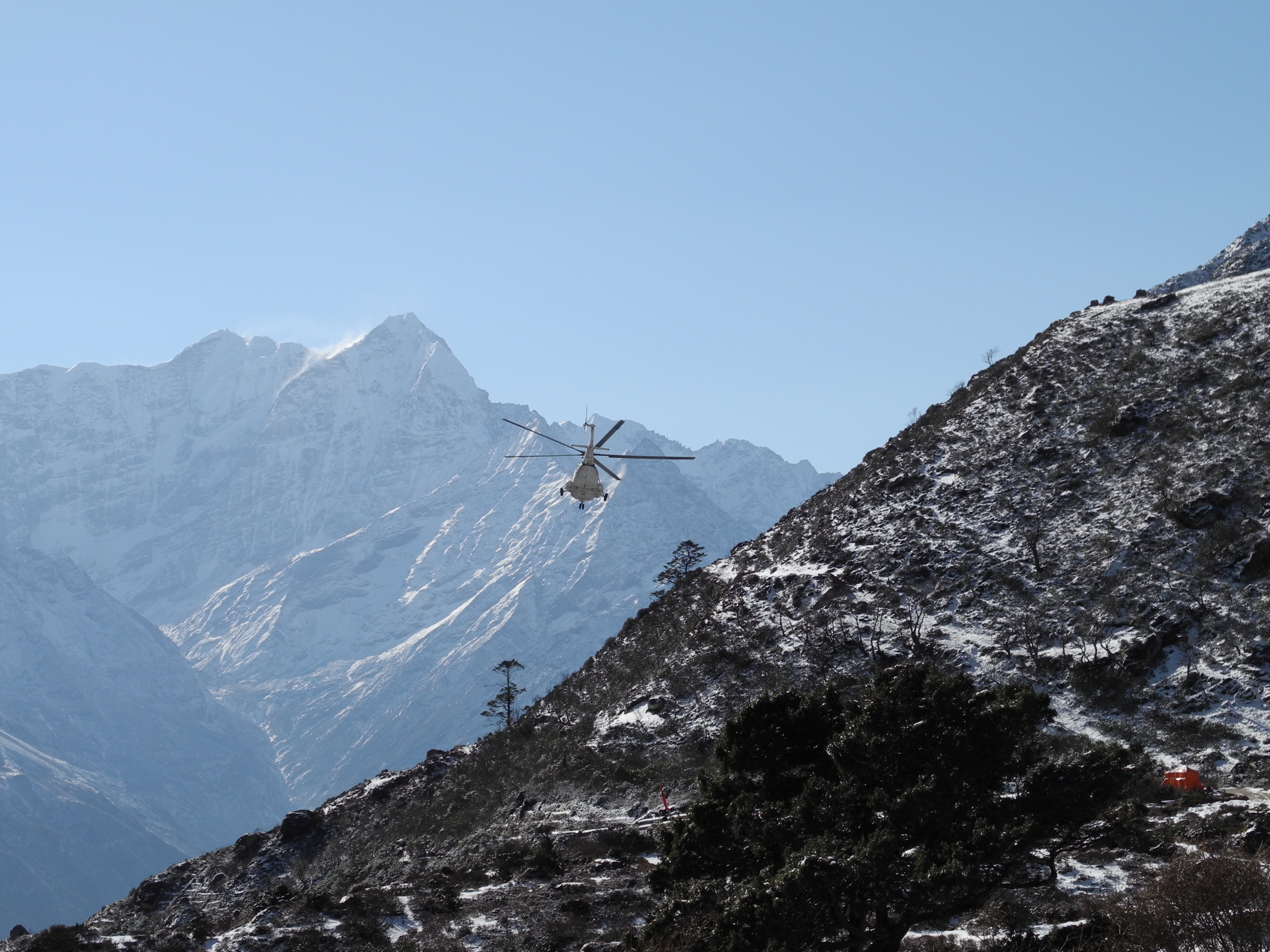
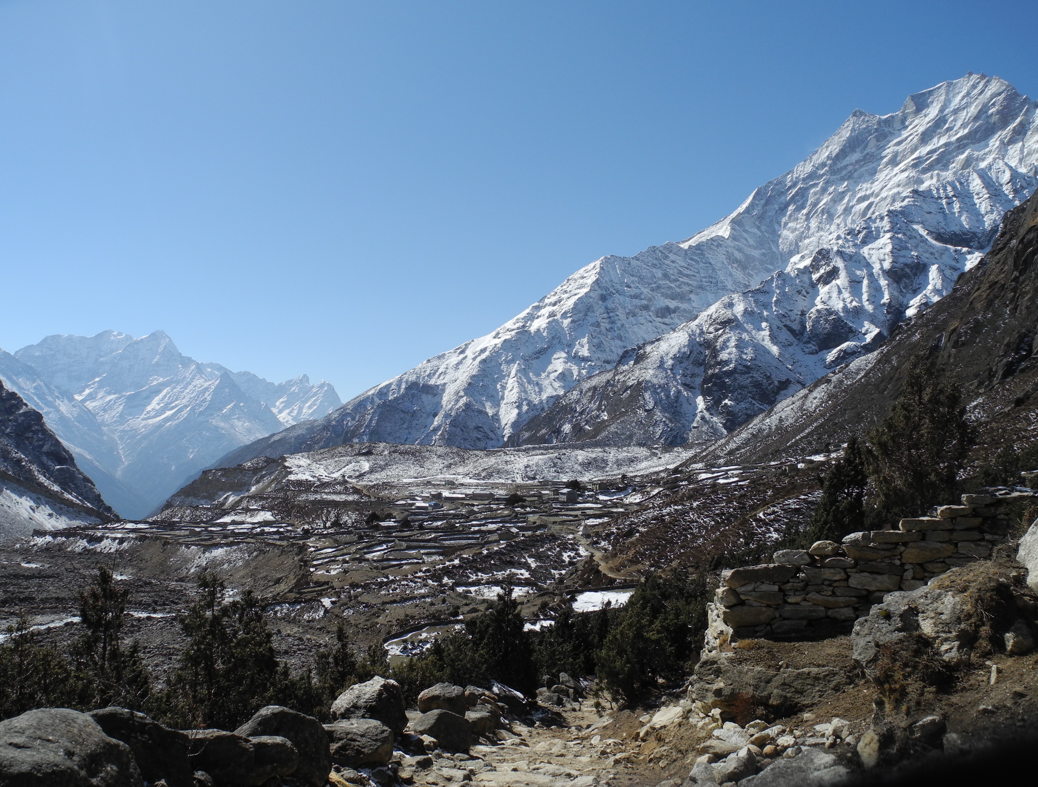
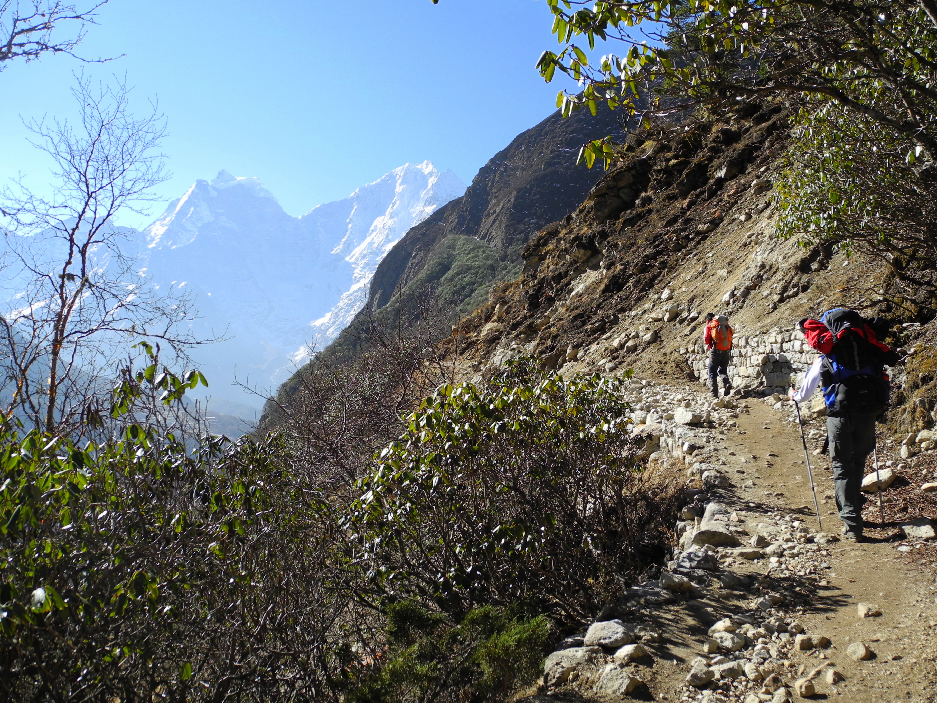
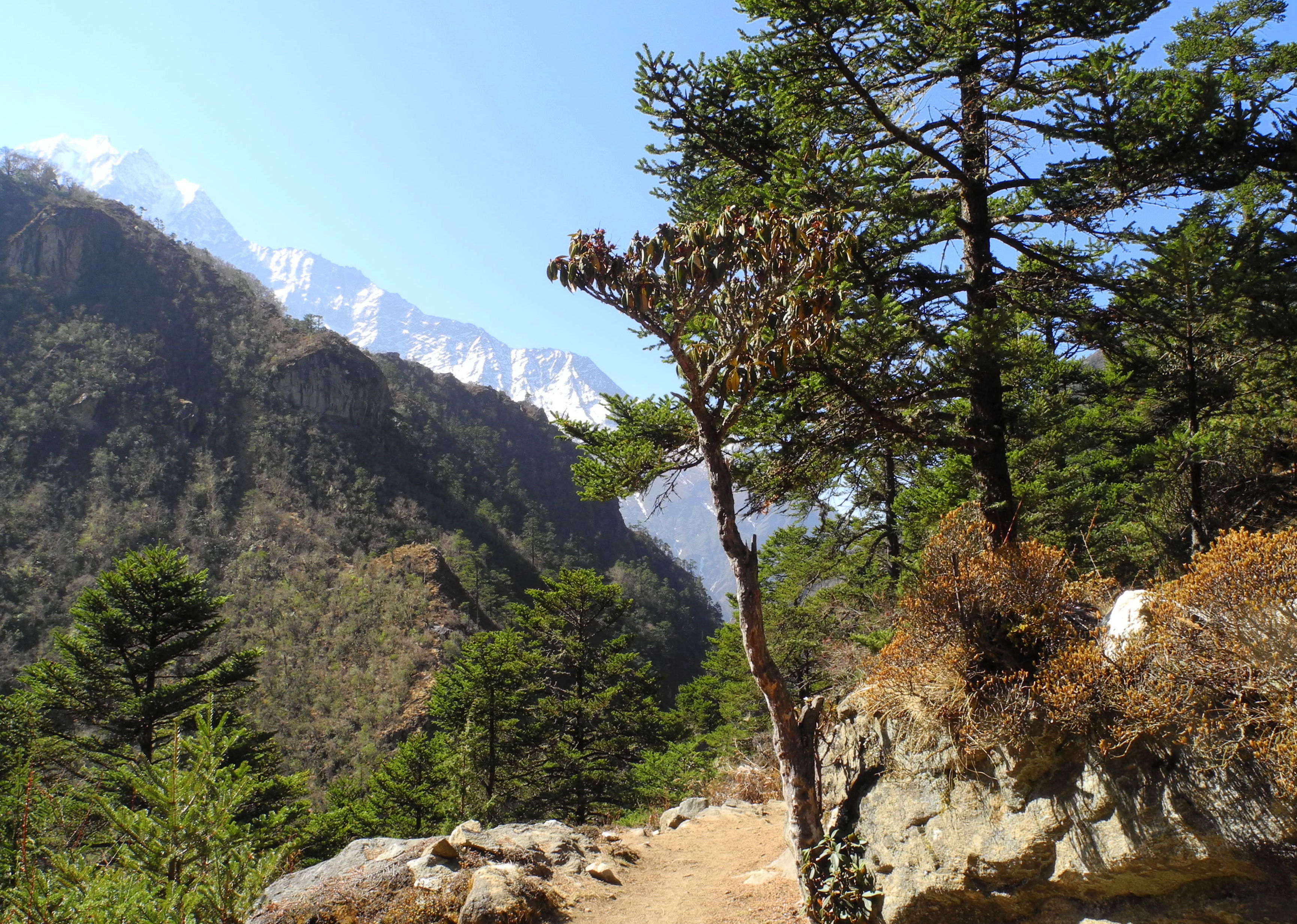
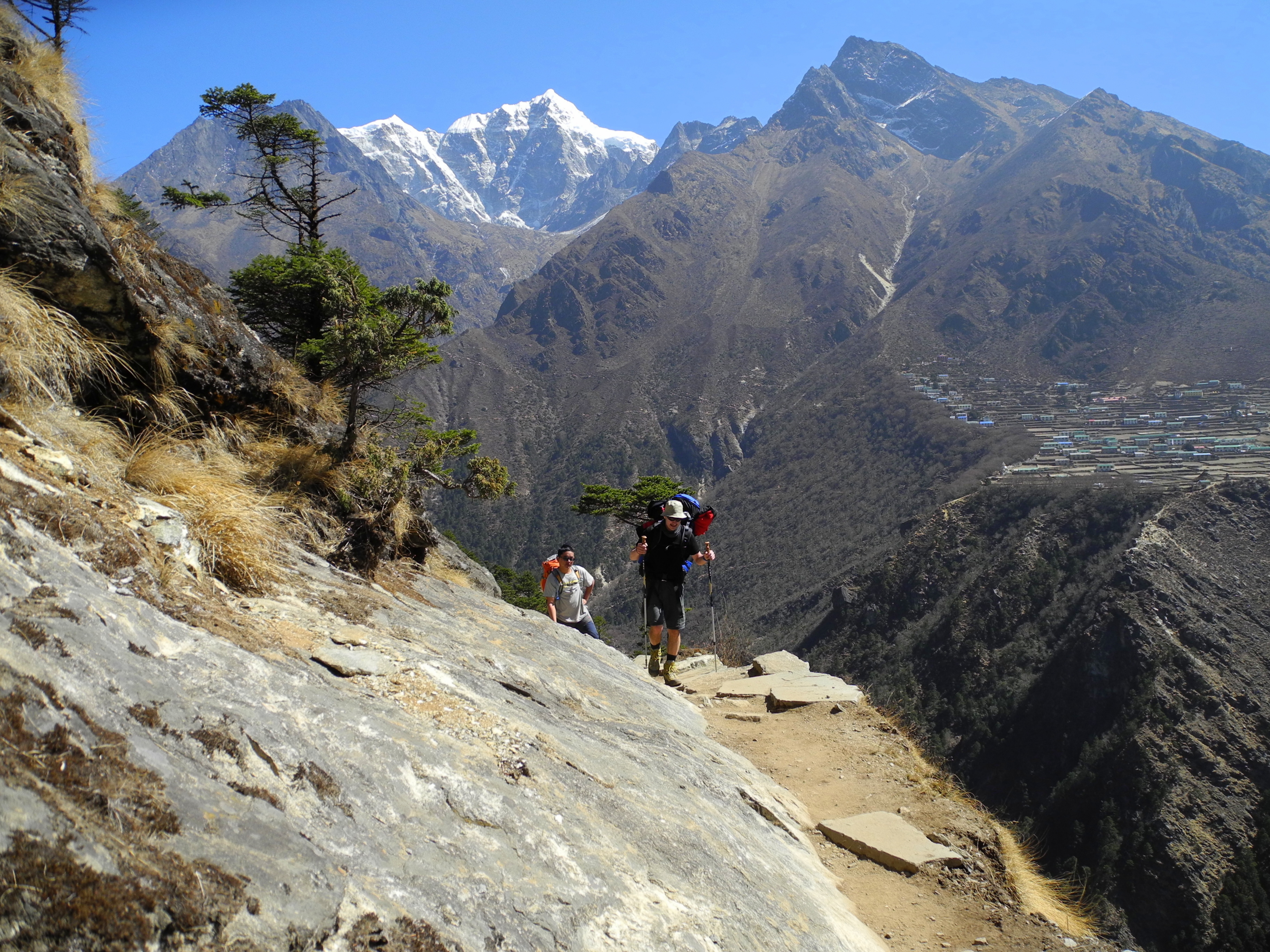
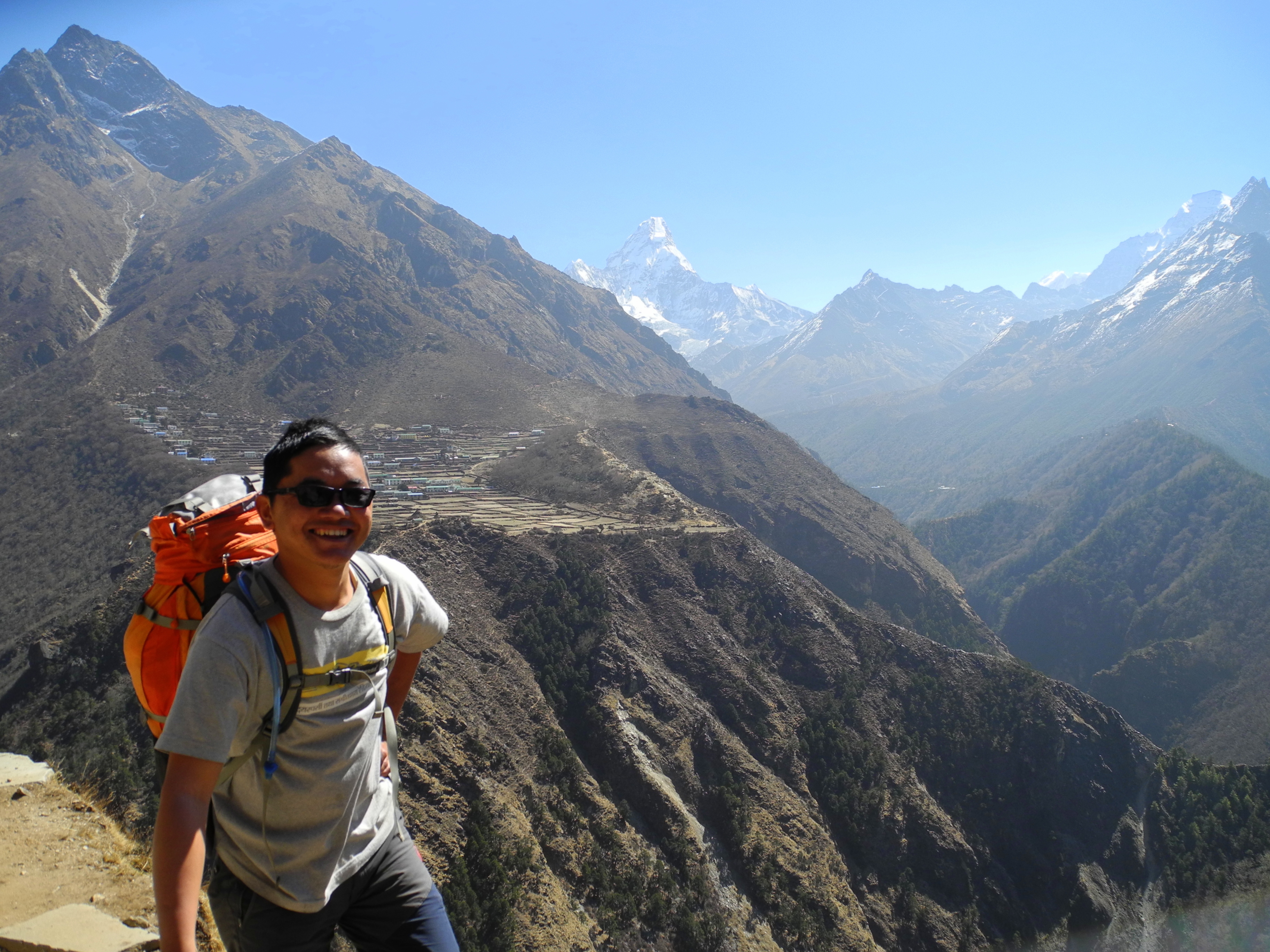
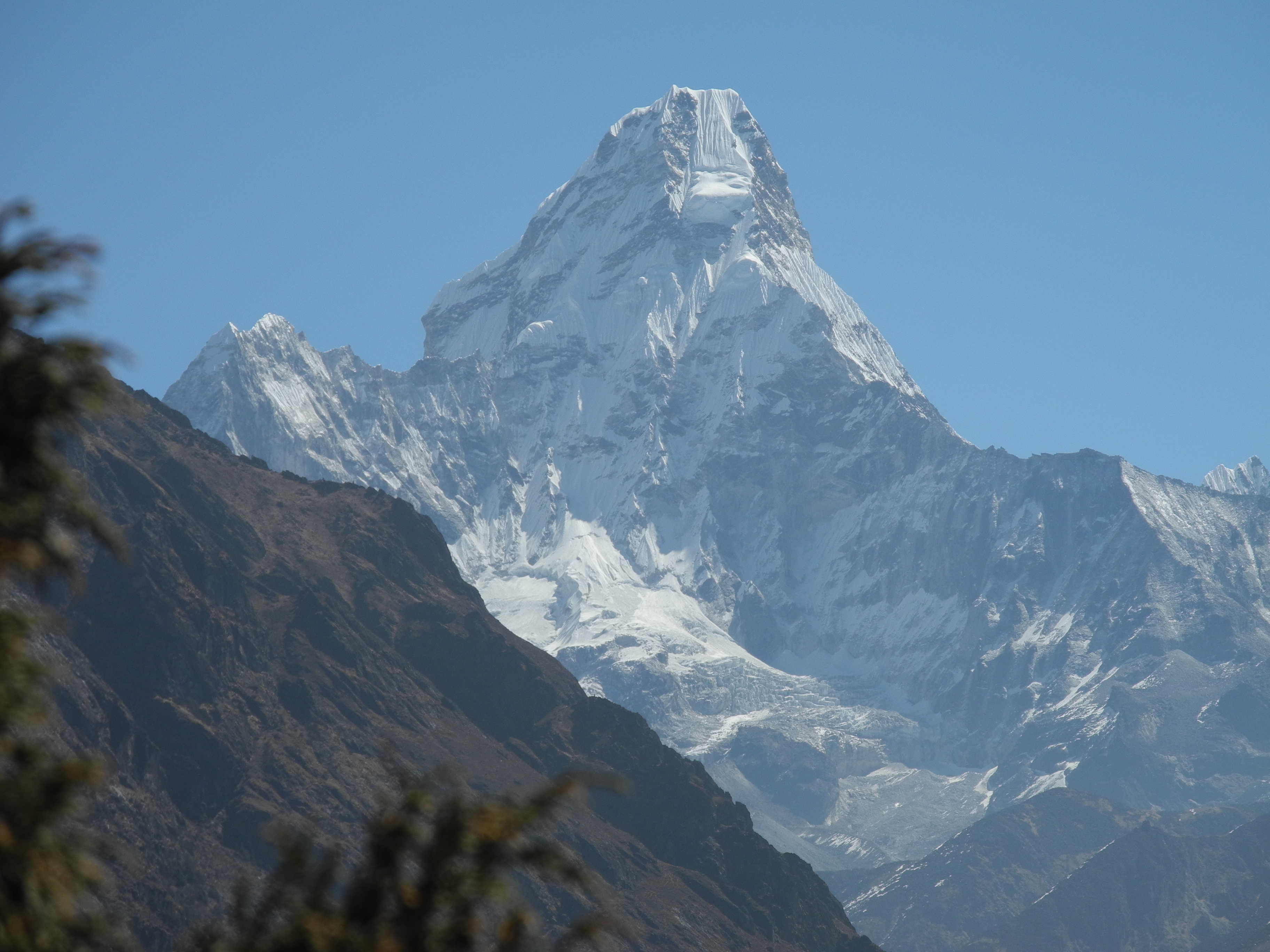
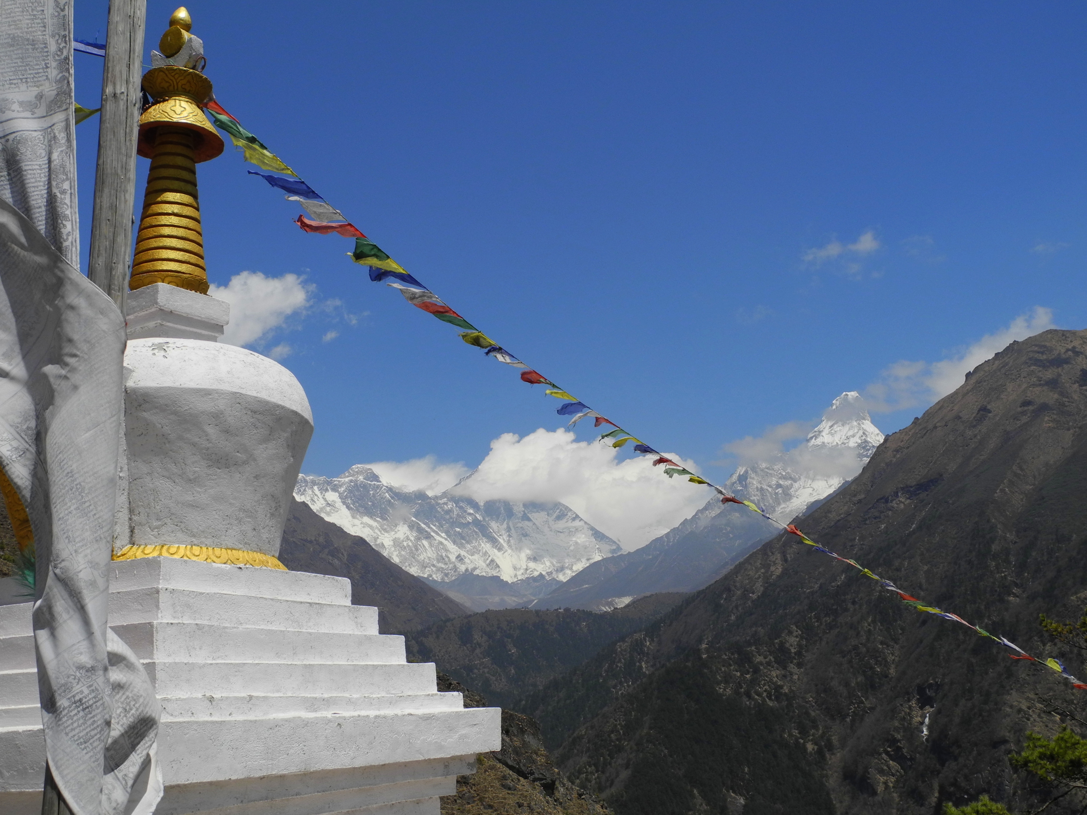
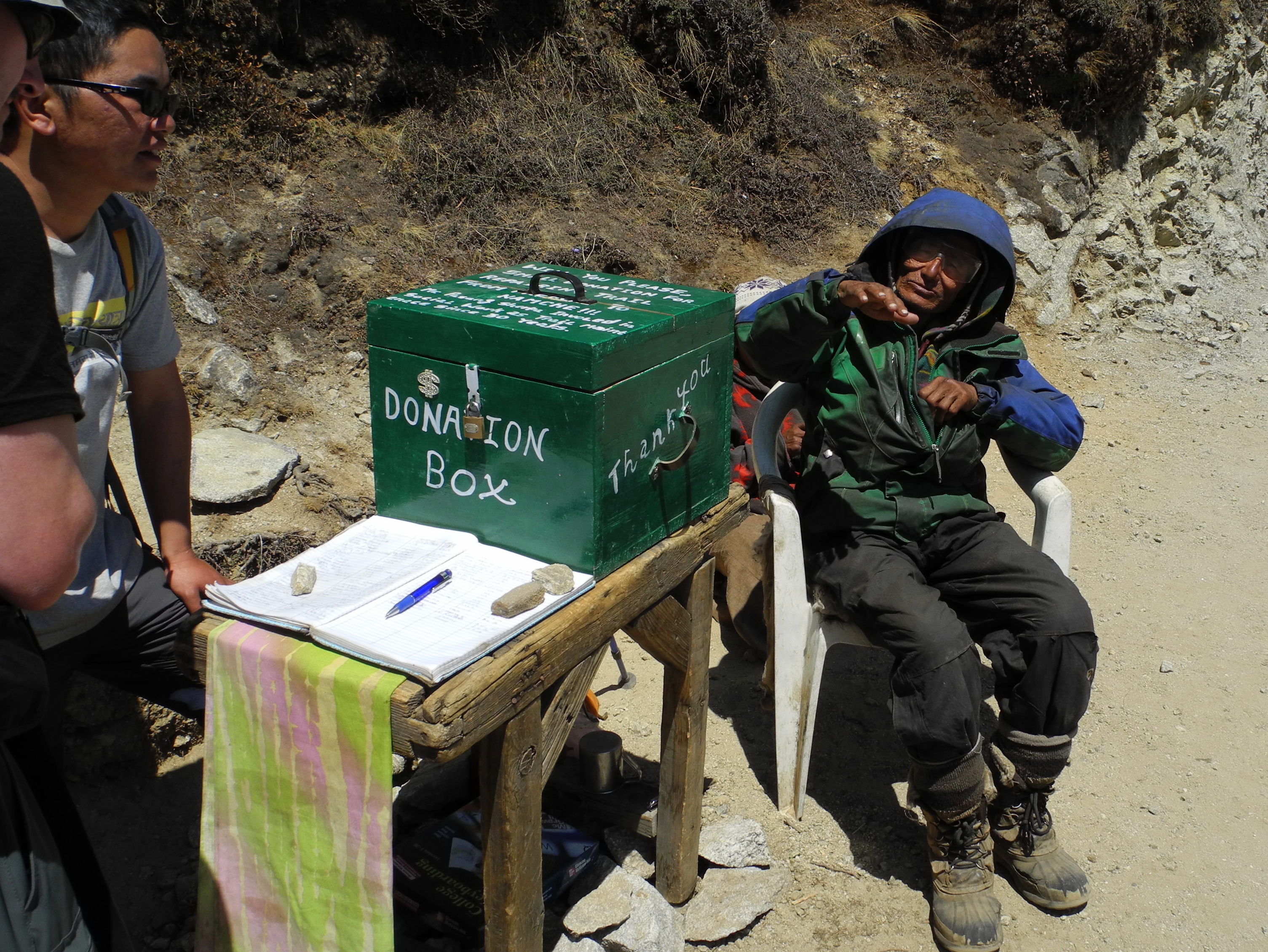
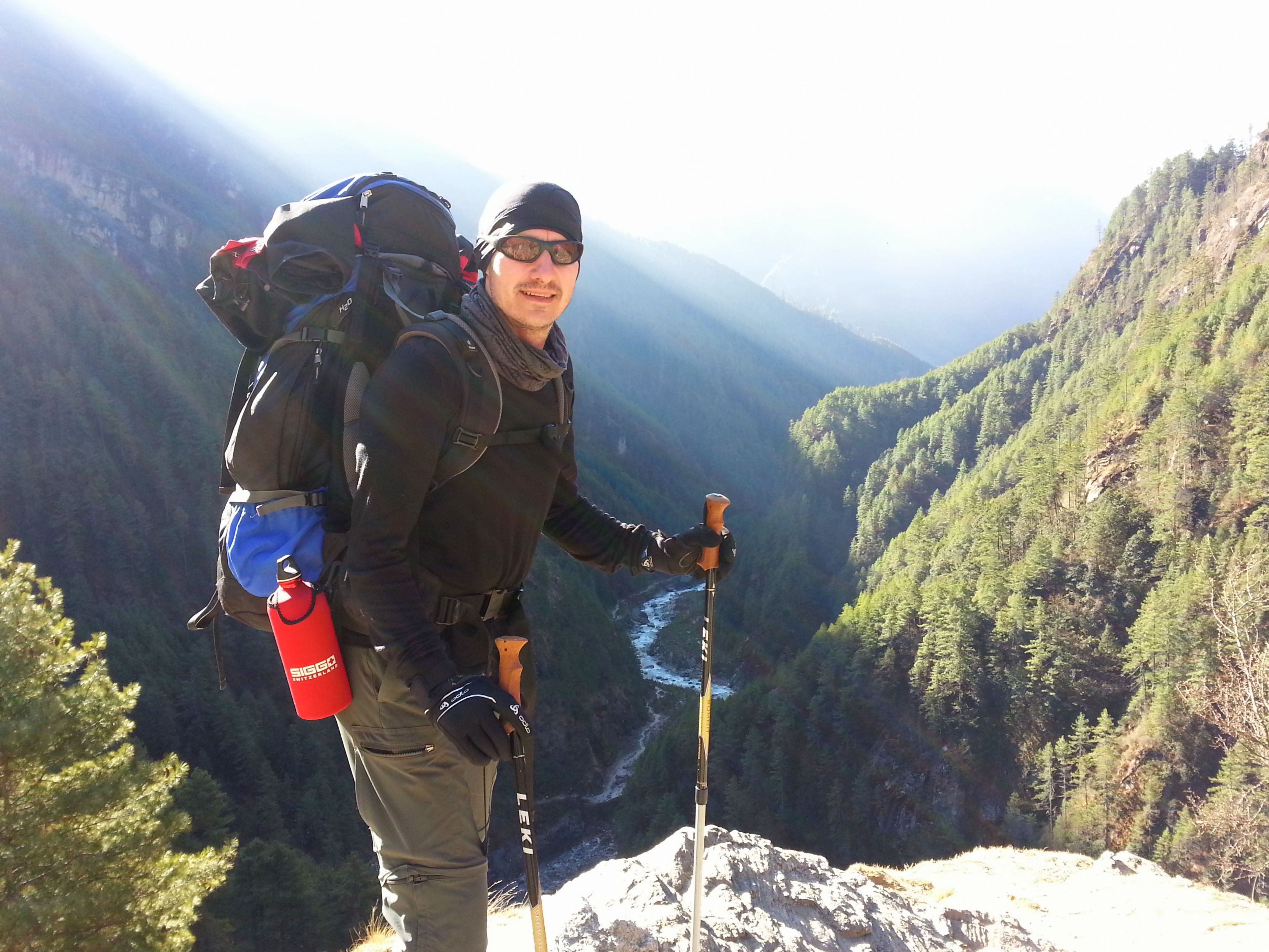
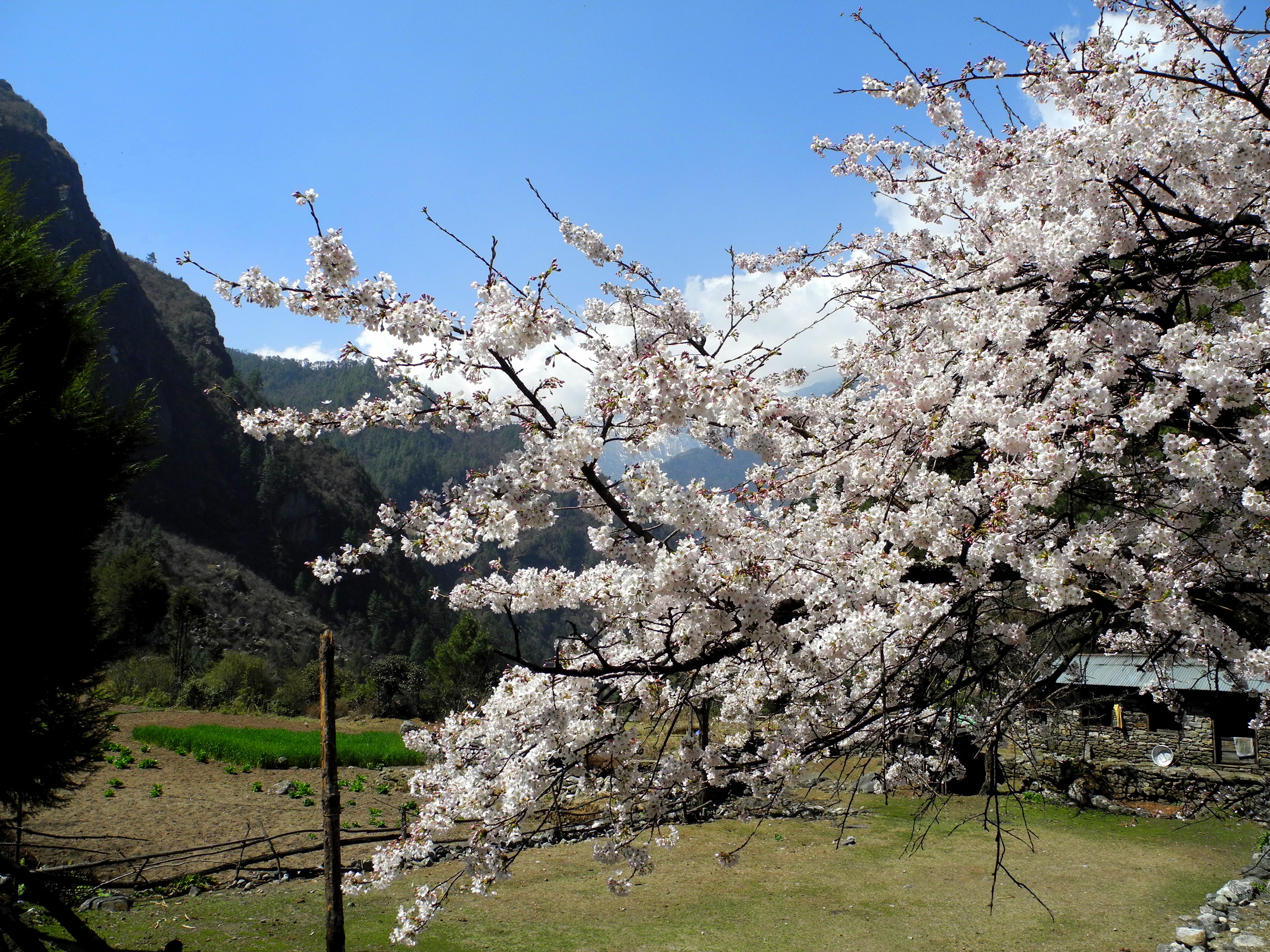
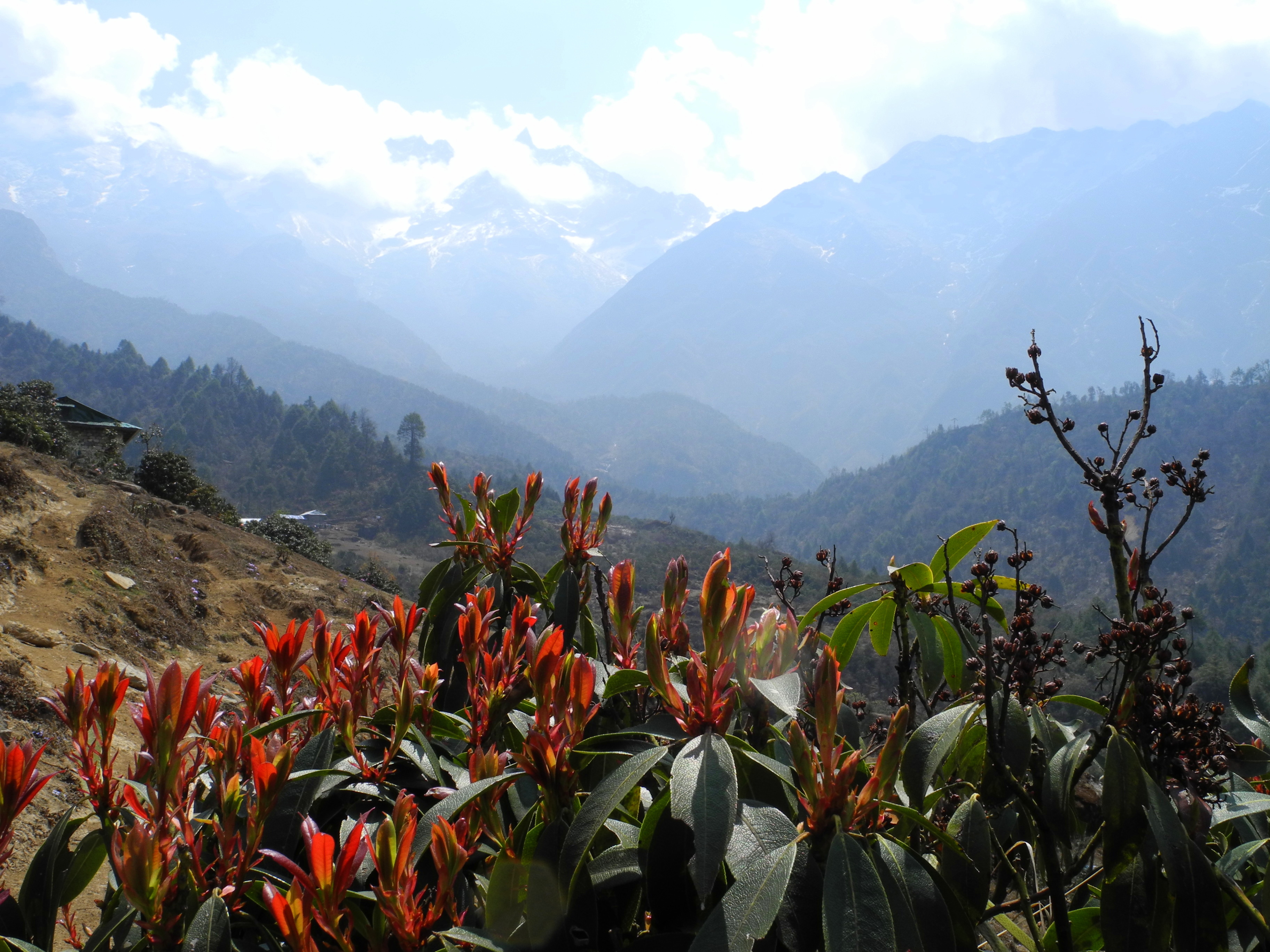
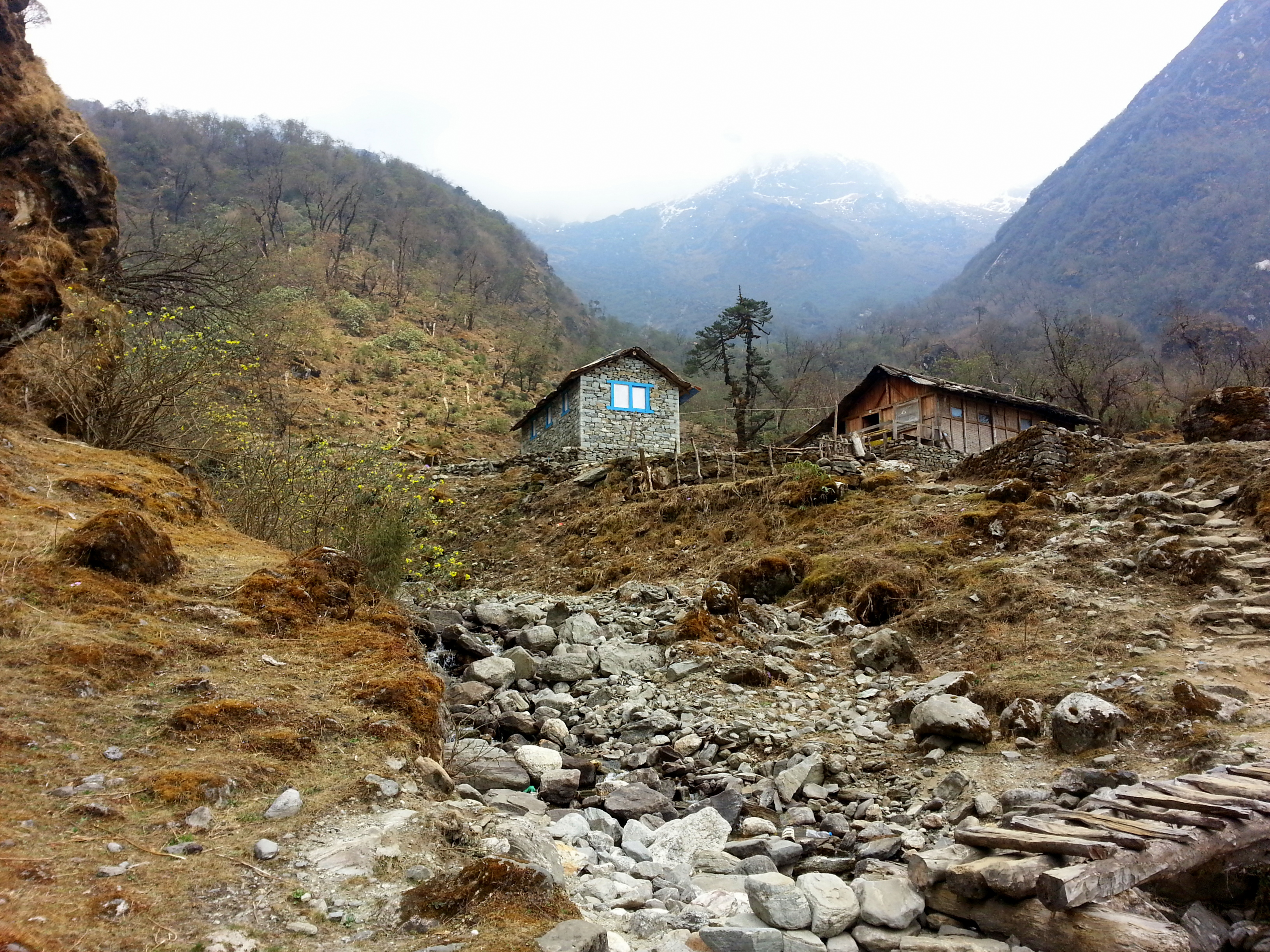
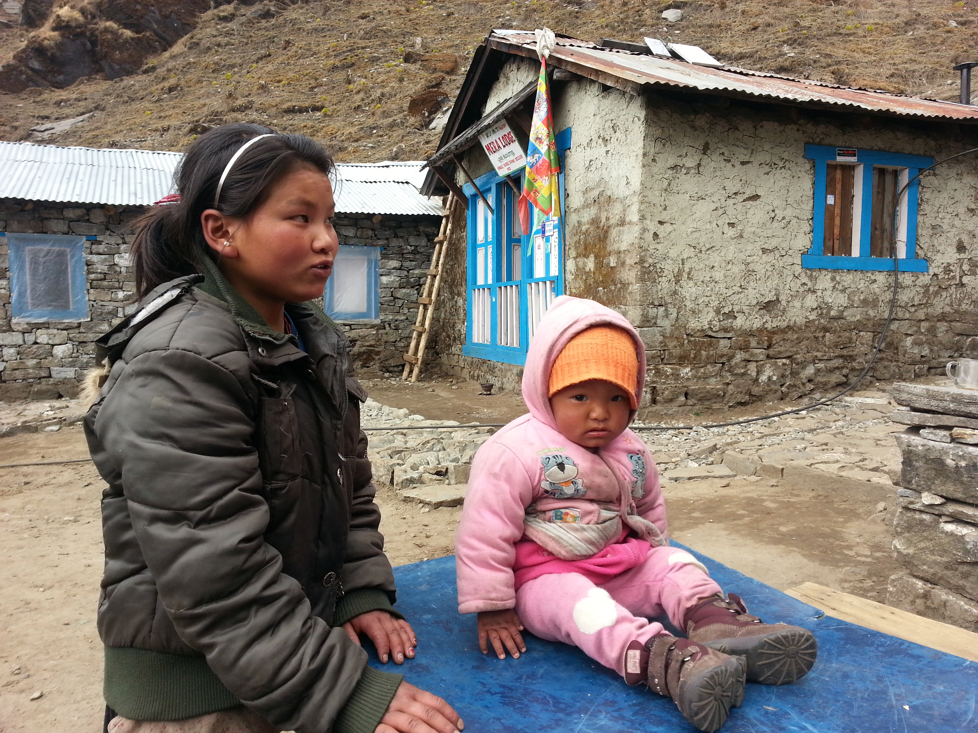
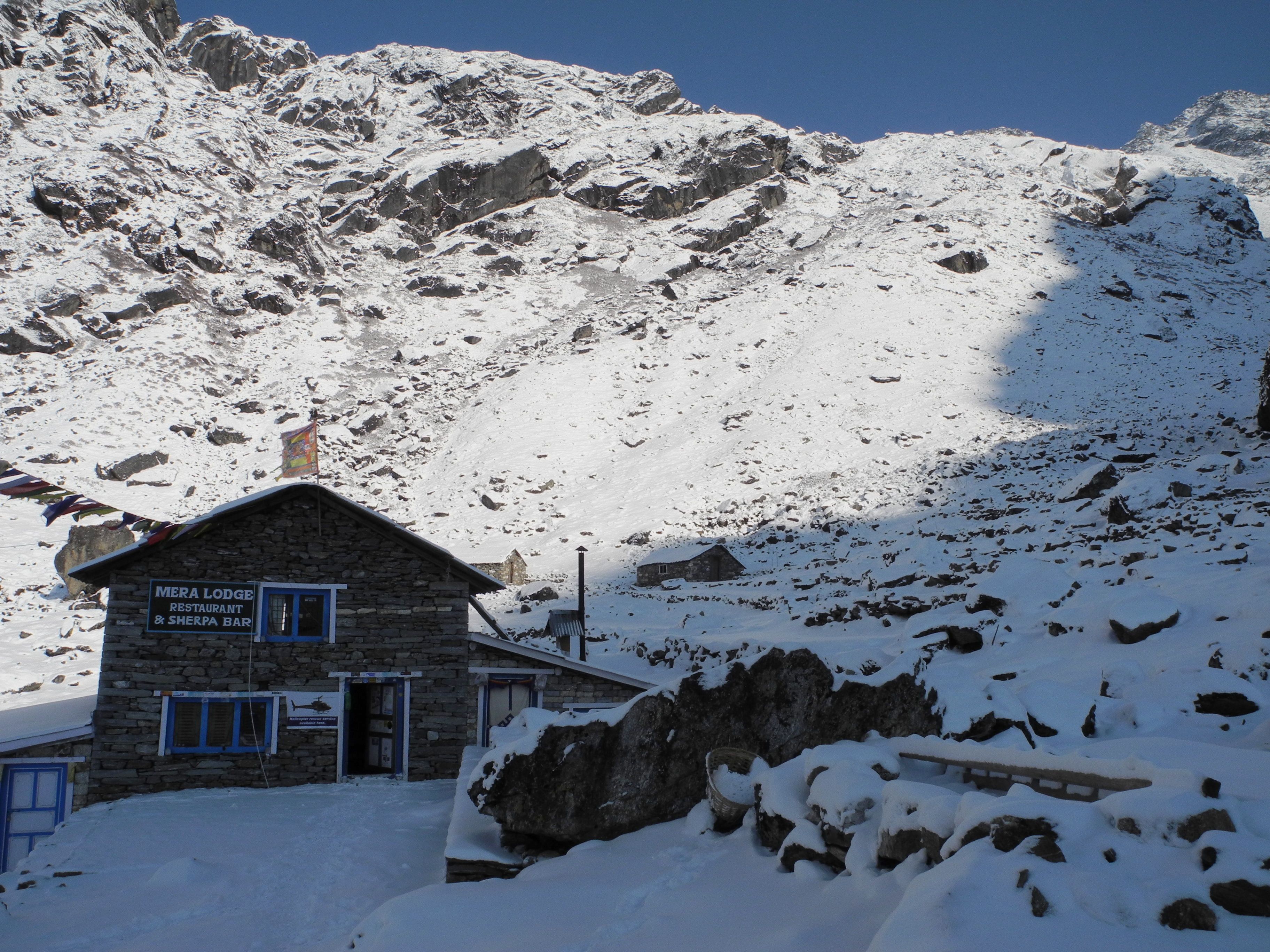
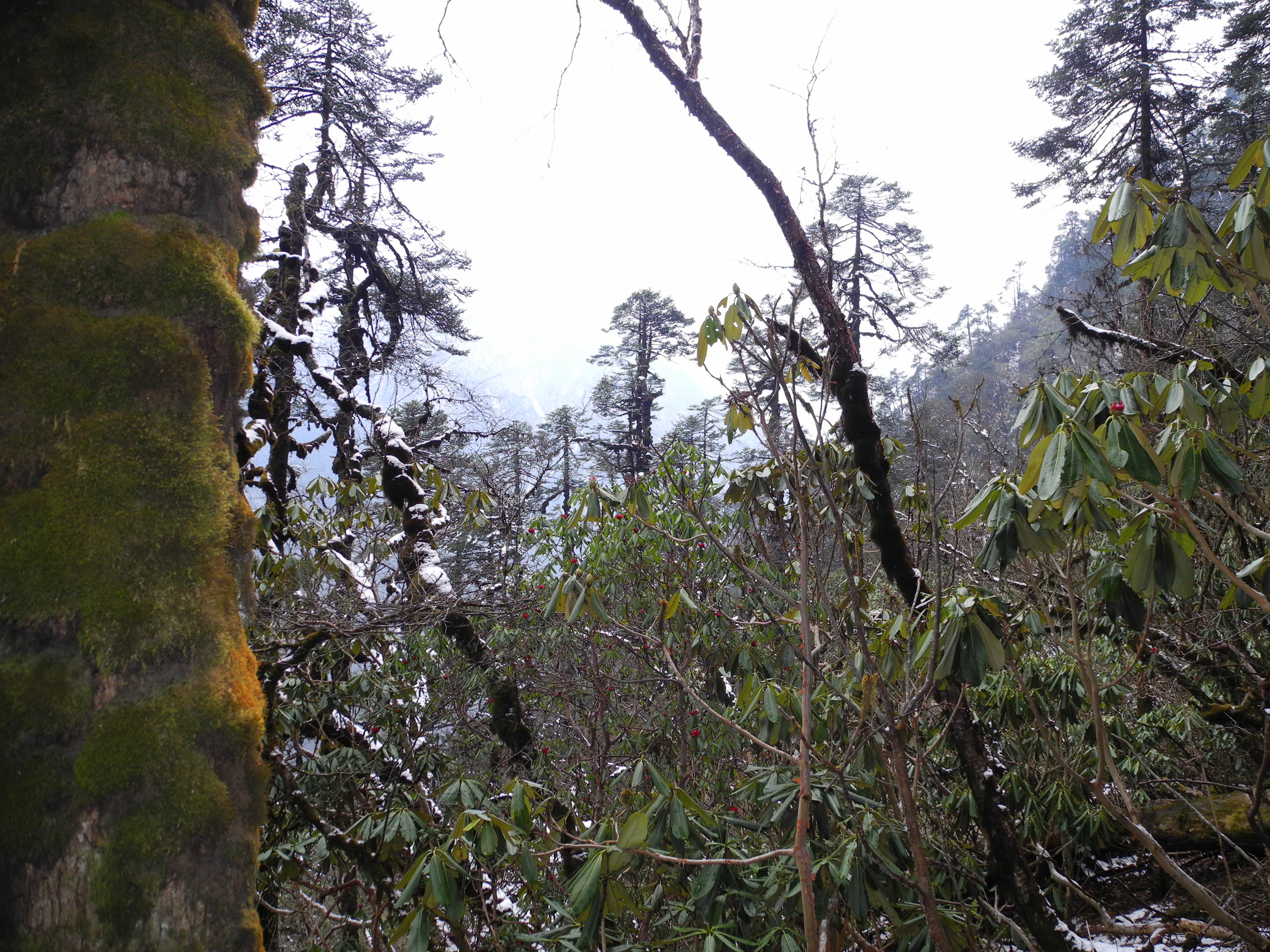
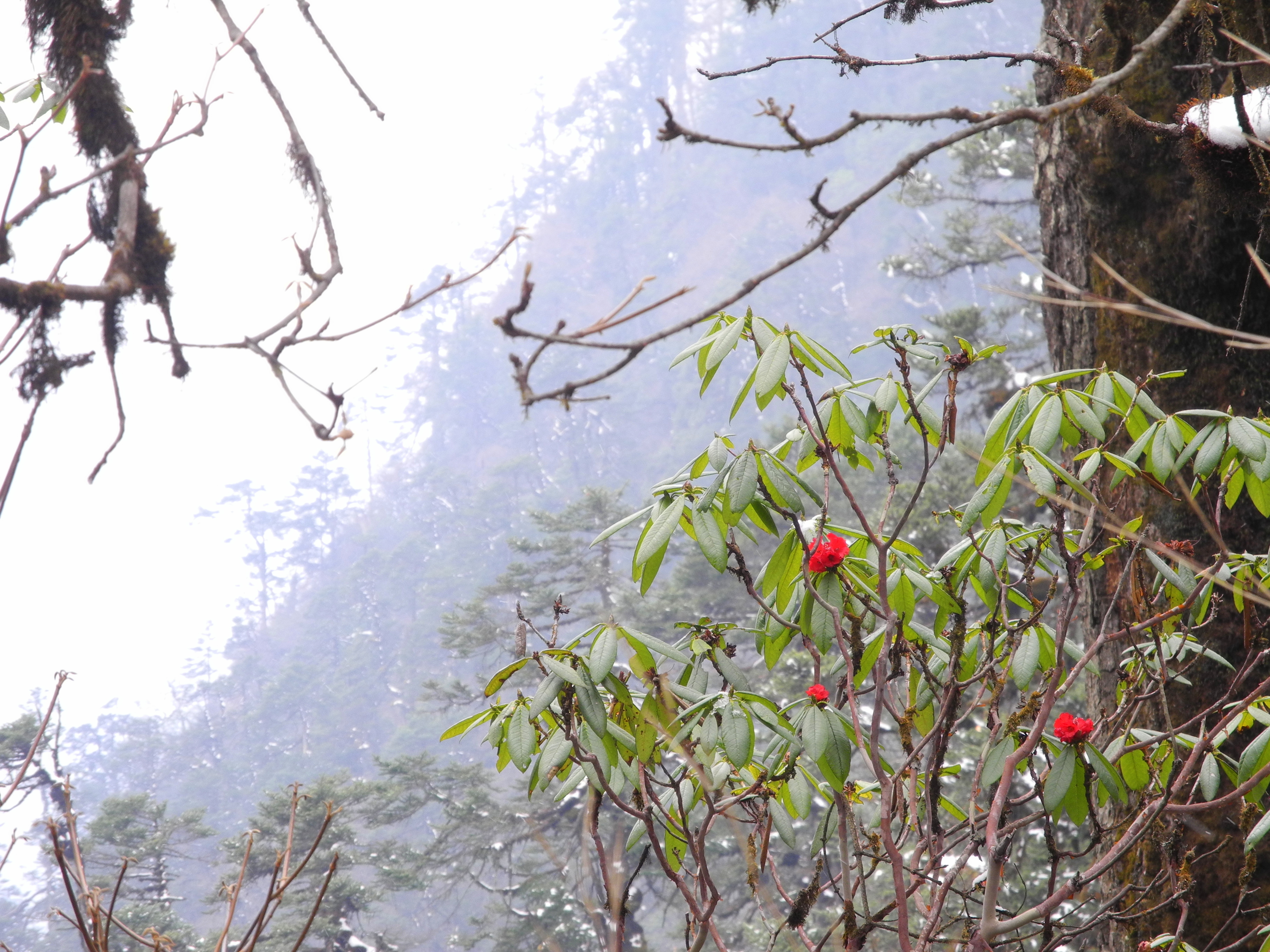
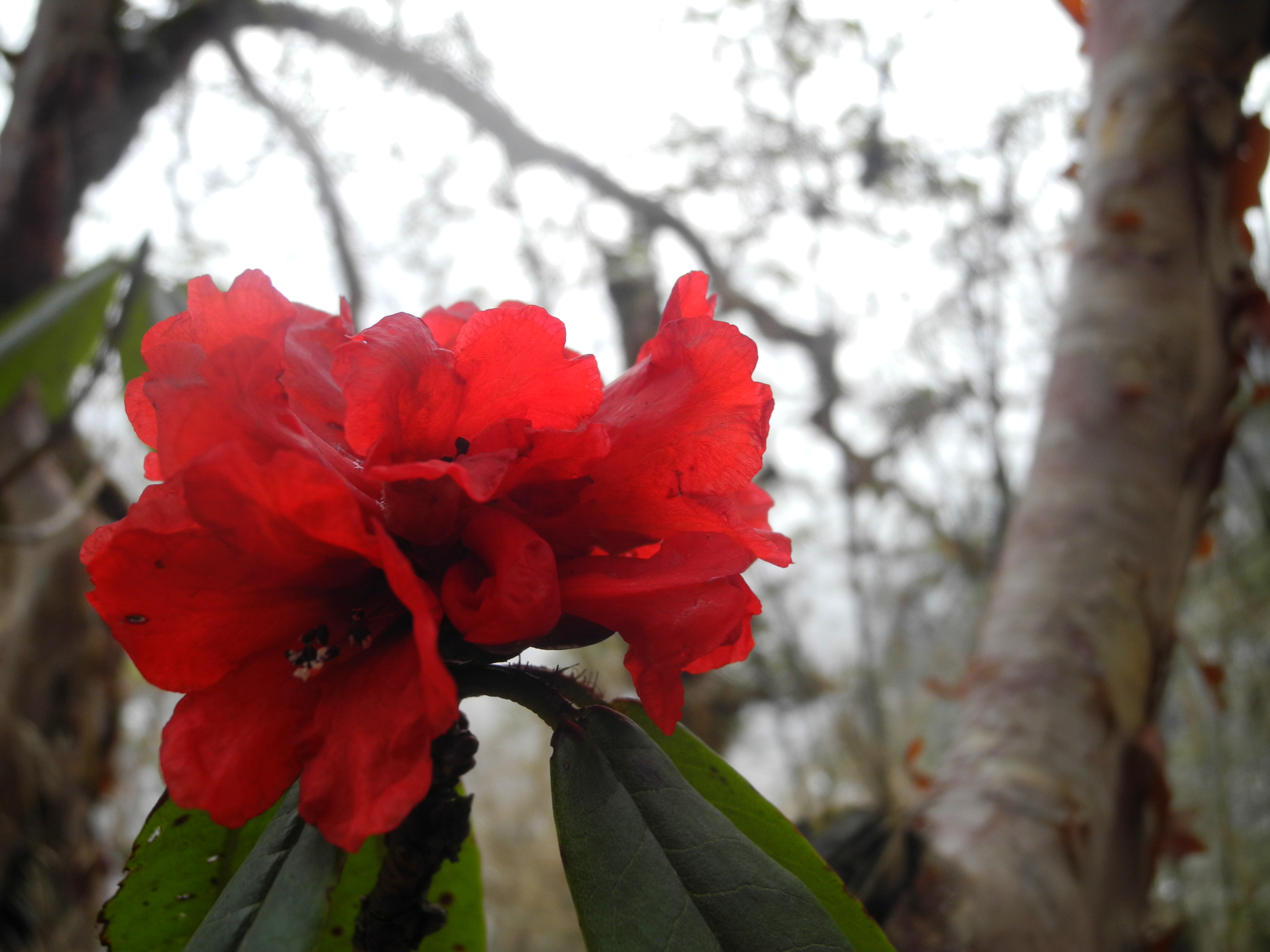
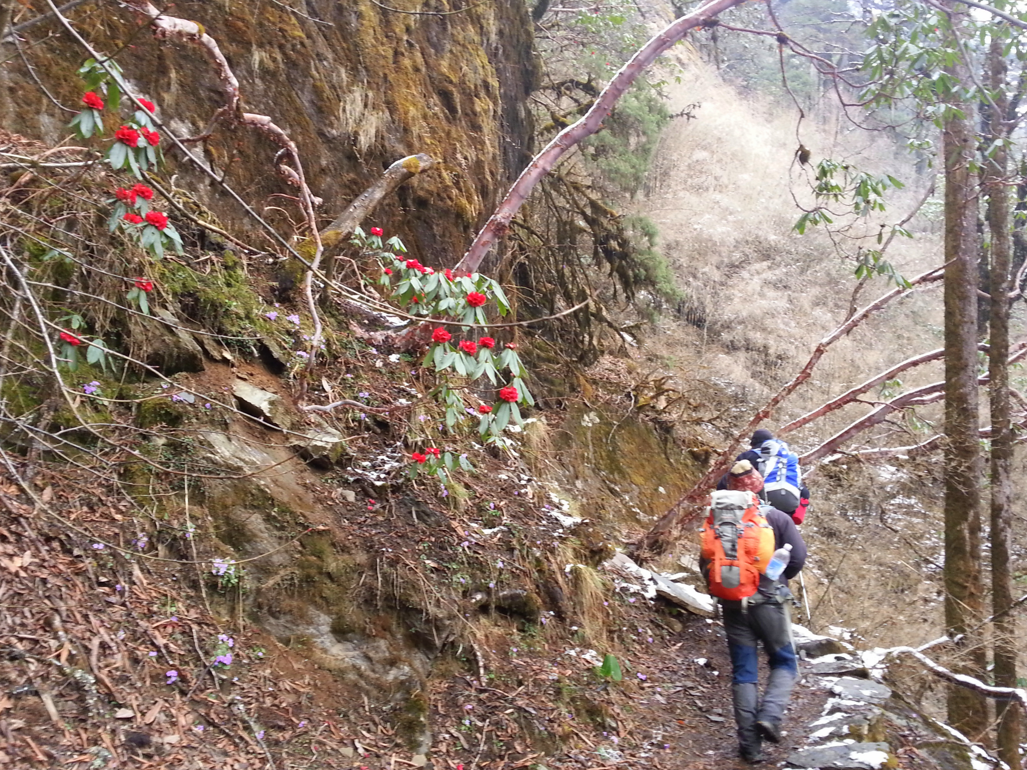
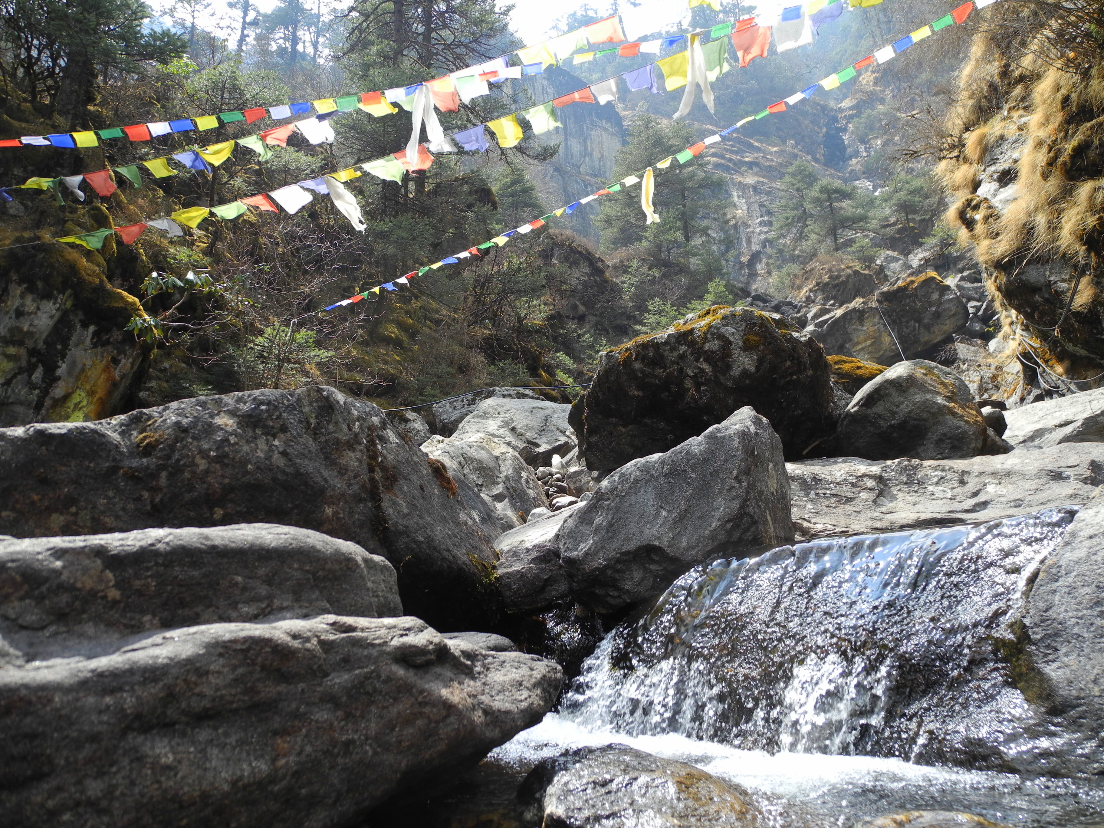
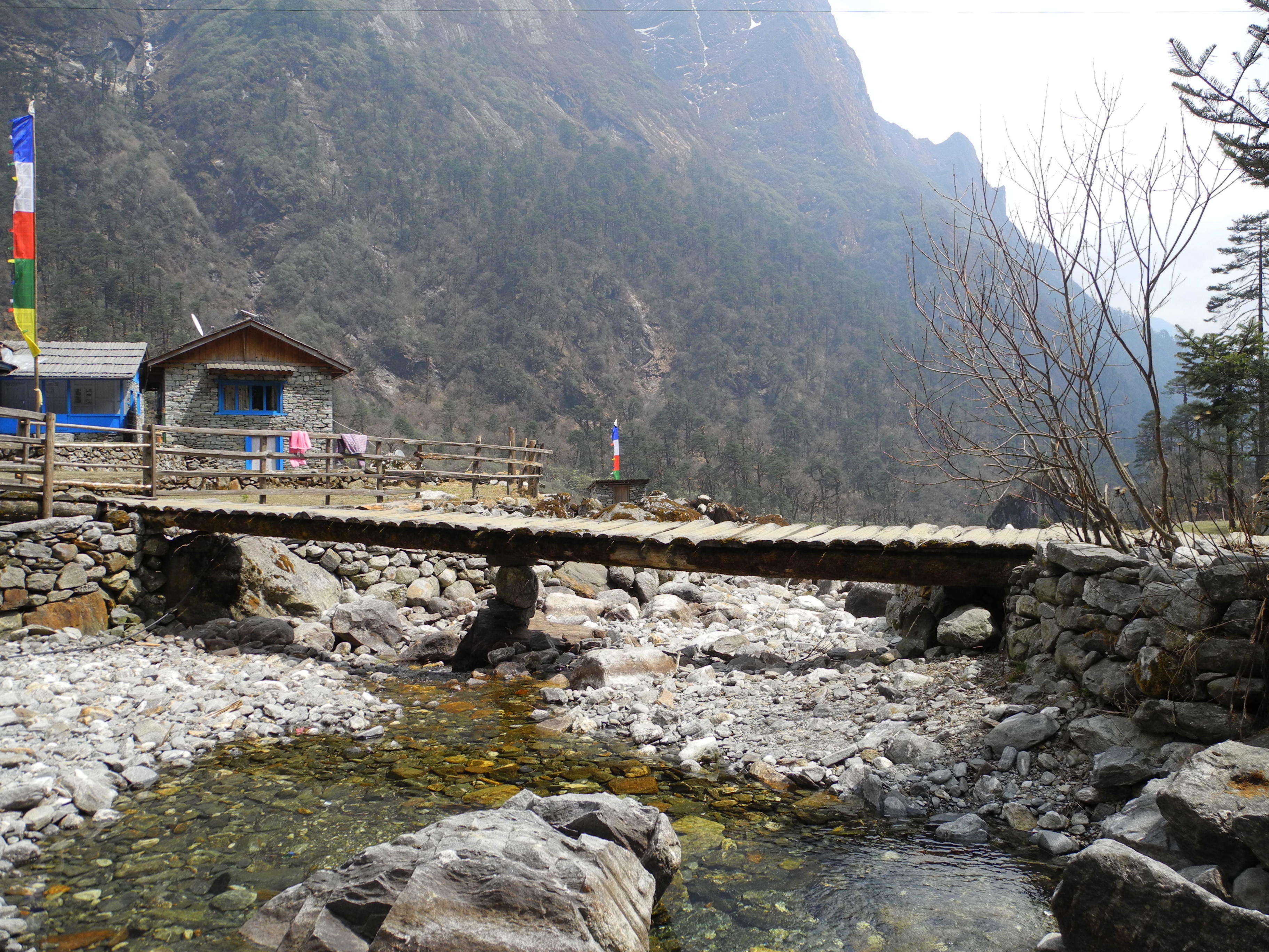
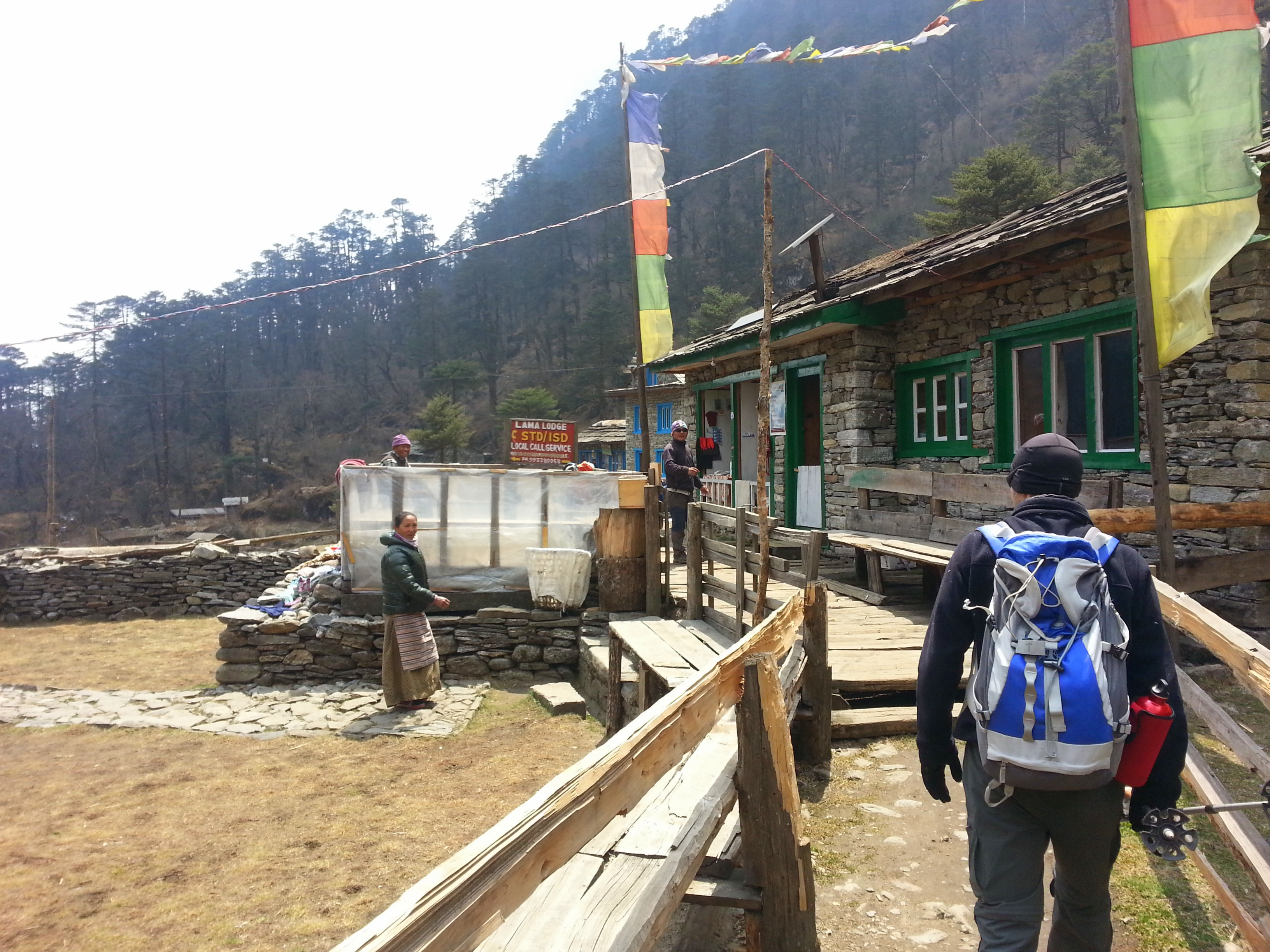
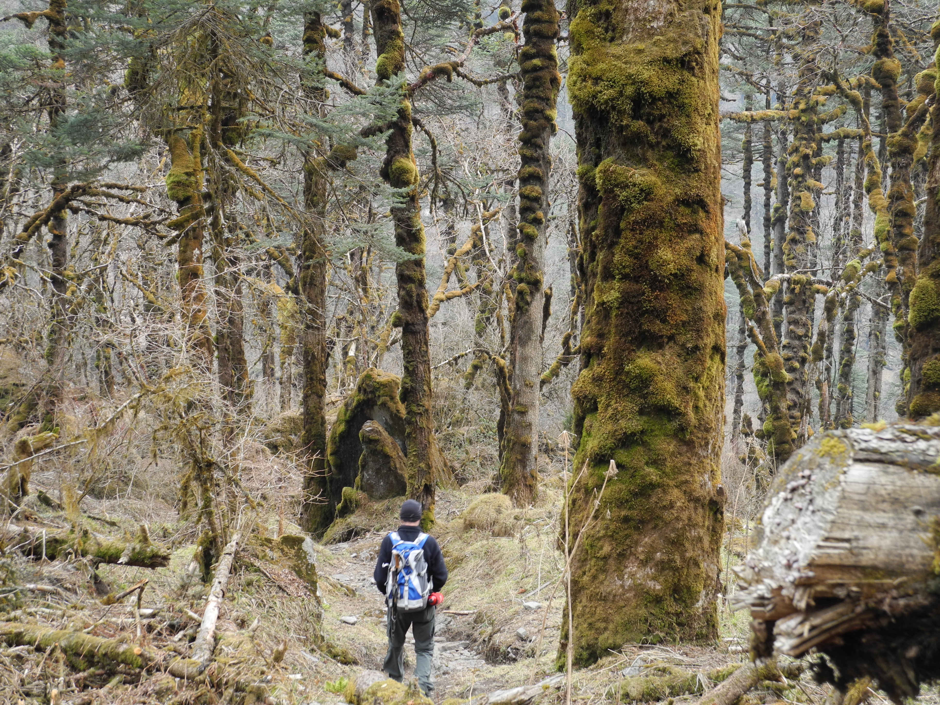
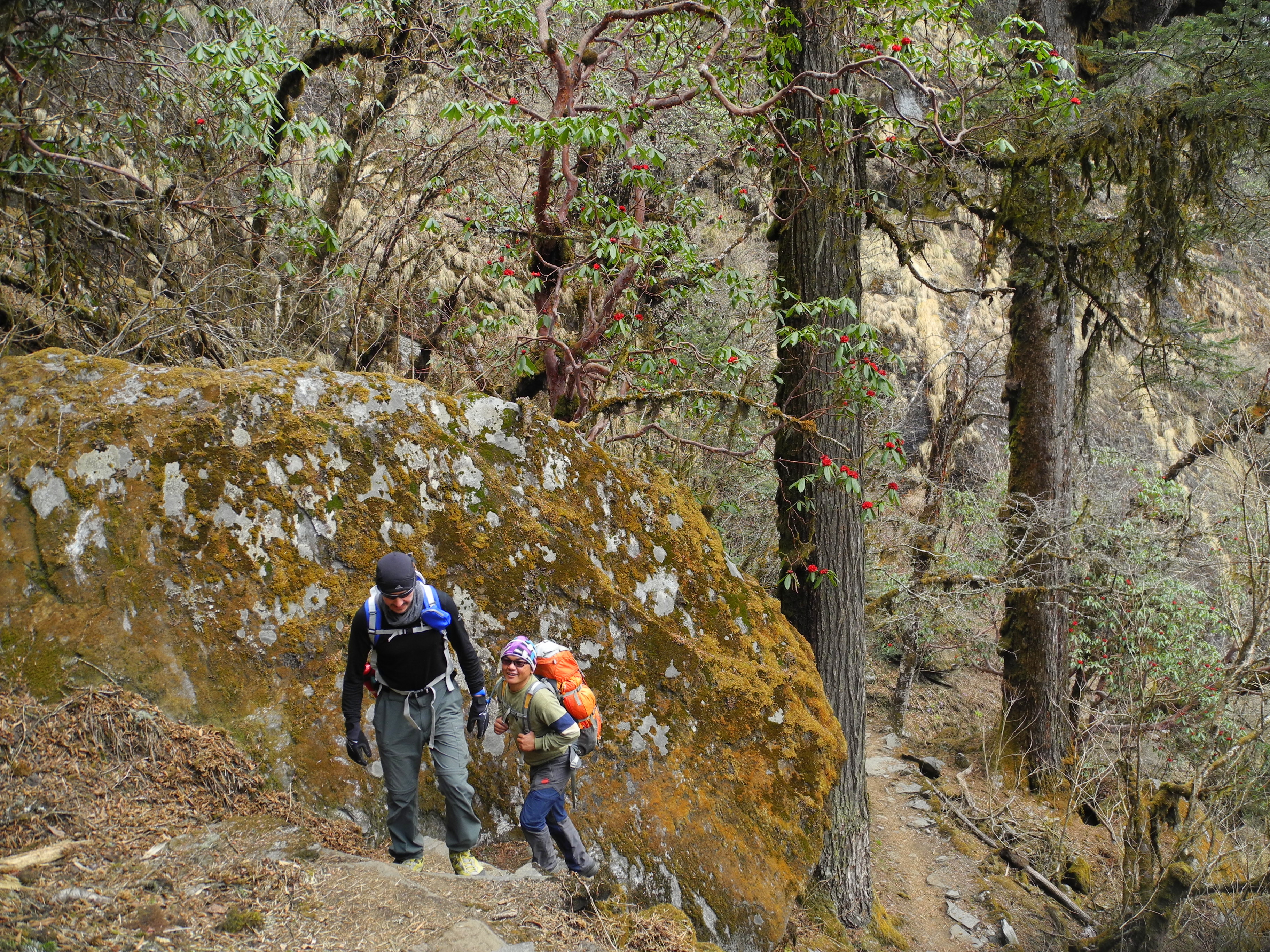
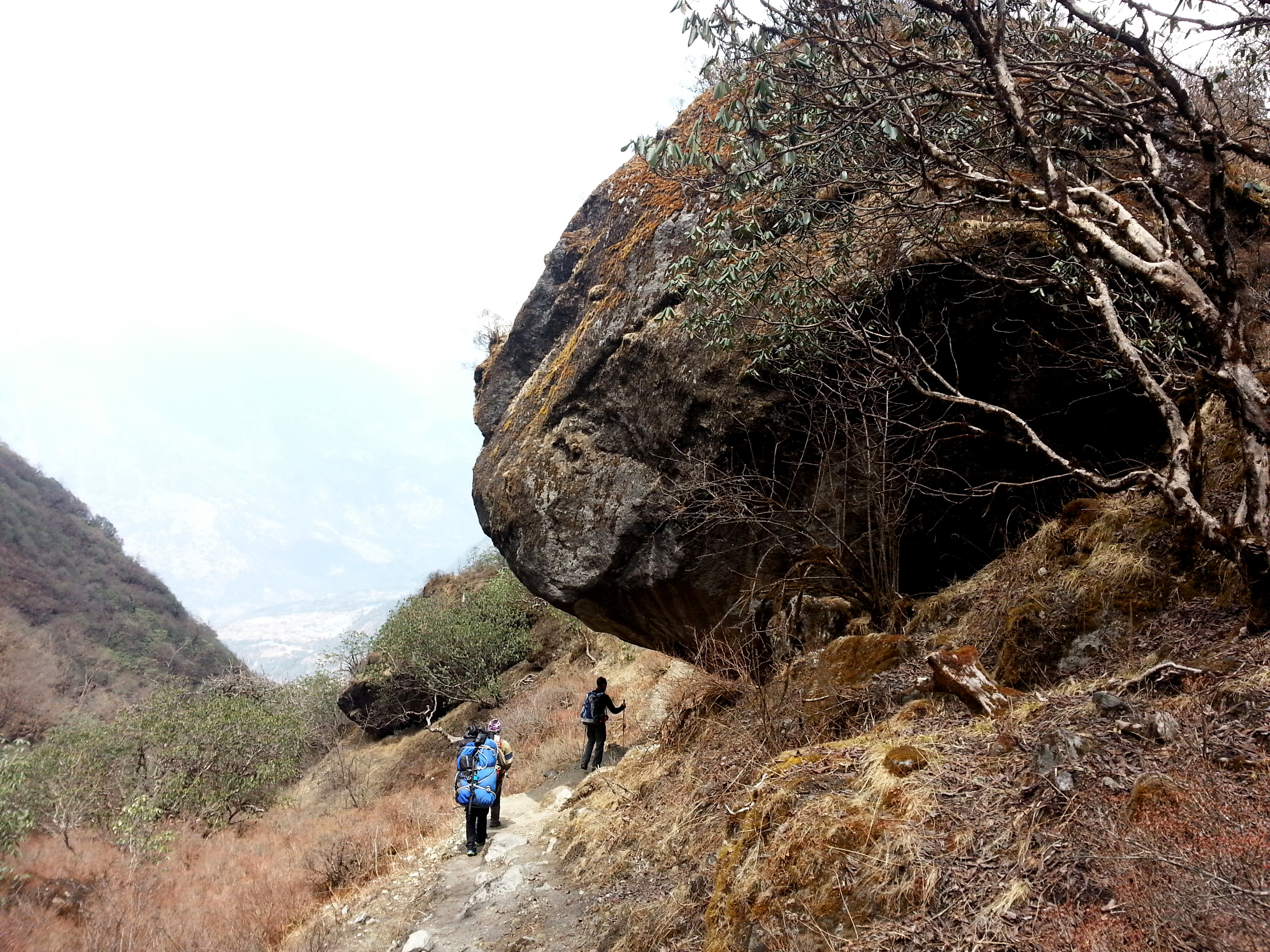
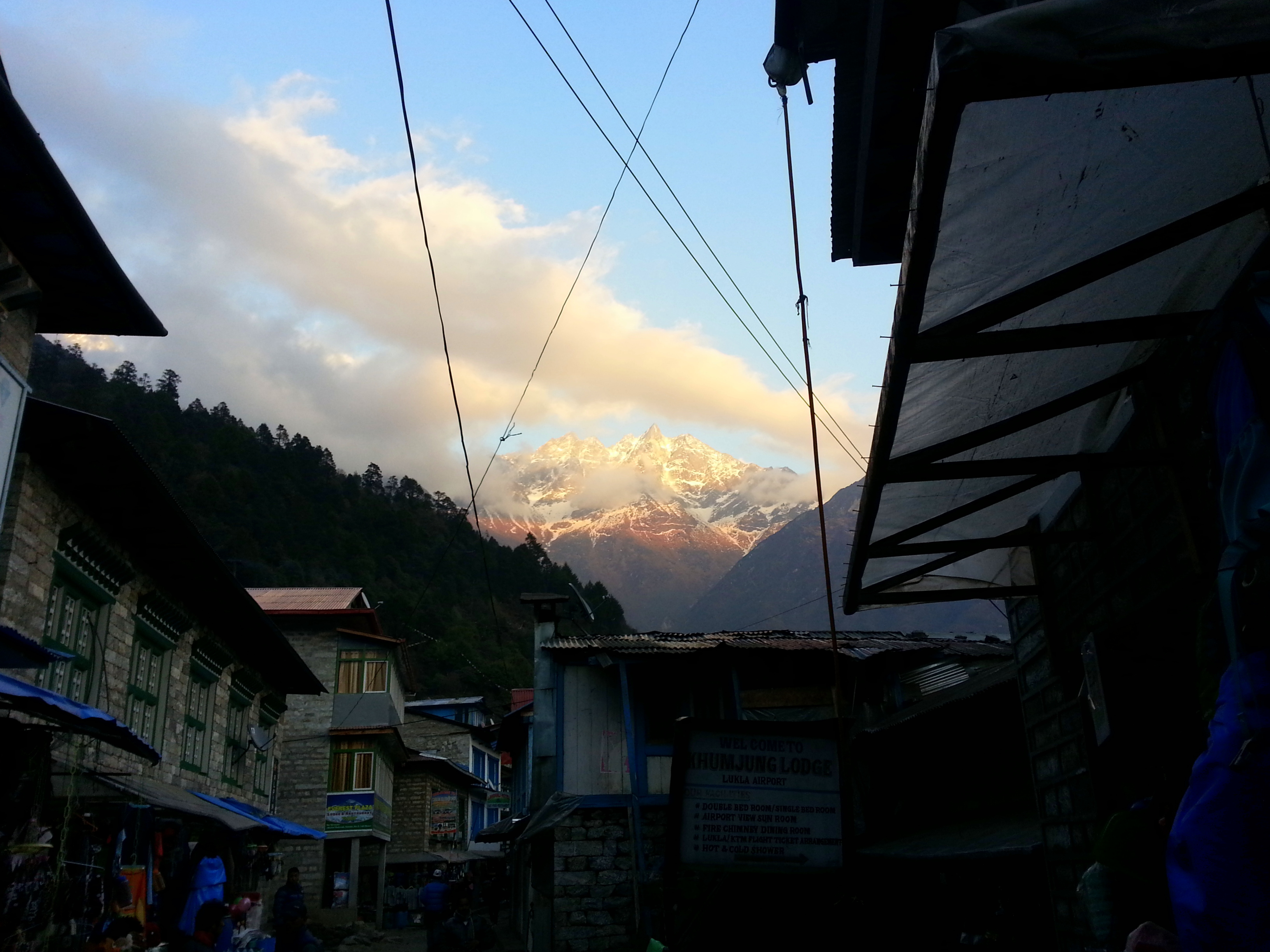
The Gokyo Trek took us from Lukla, with one overnight stop in Phakding, to Namche. On arrival, given the nearly 800-metre gain in elevation, we immediately took an acclimatisation day. We hiked up to the Everest View Hotel and enjoyed the spectacular views of Everest and Ama Dablam, then visited the Hillary Secondary School in Khumjung. The next stop before heading back to Namche was the Hillary Hospital in Khunde. The following day we left the busy, comfortable and tourist-packed Namche and headed into Sherpa territory.

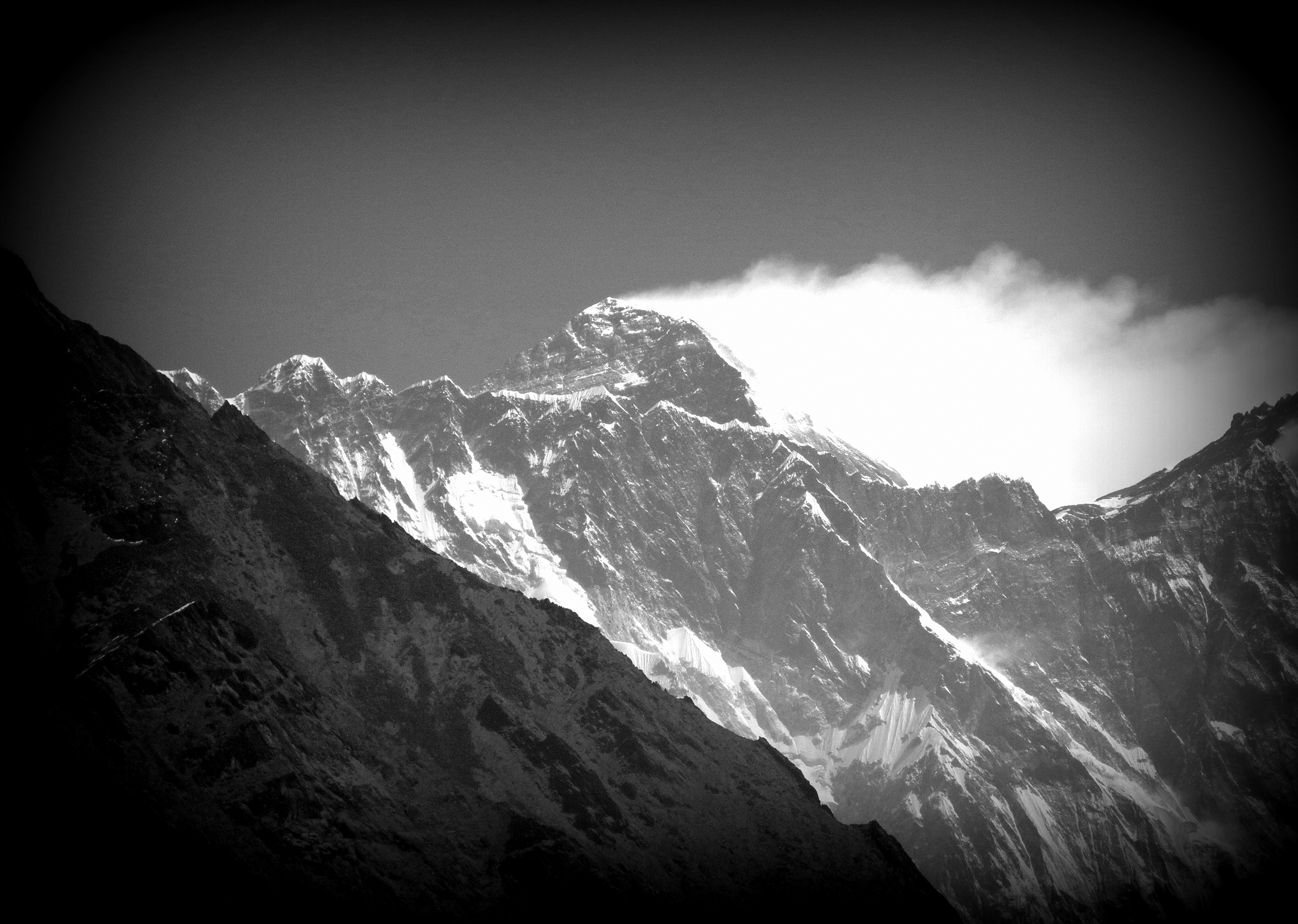
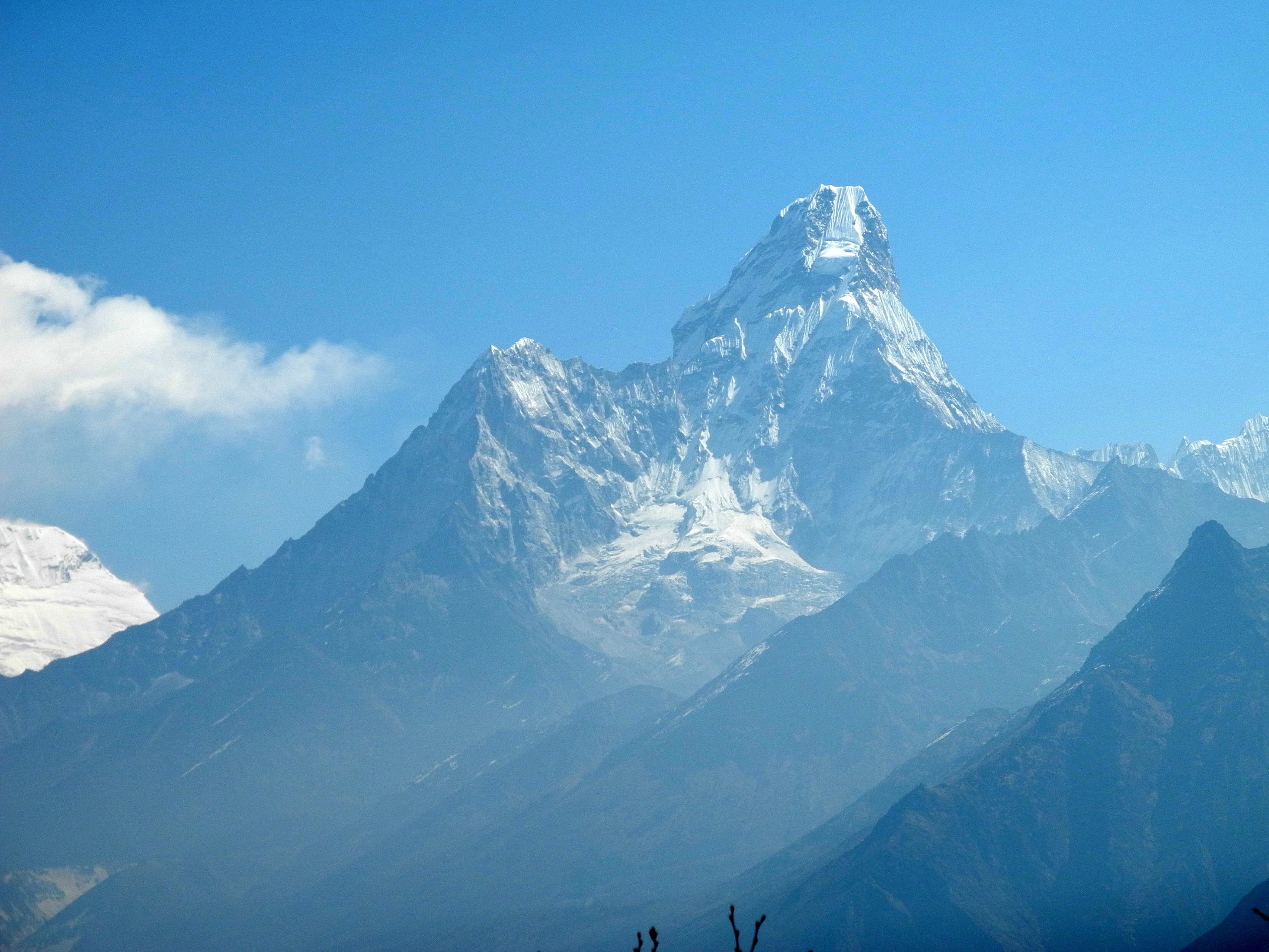
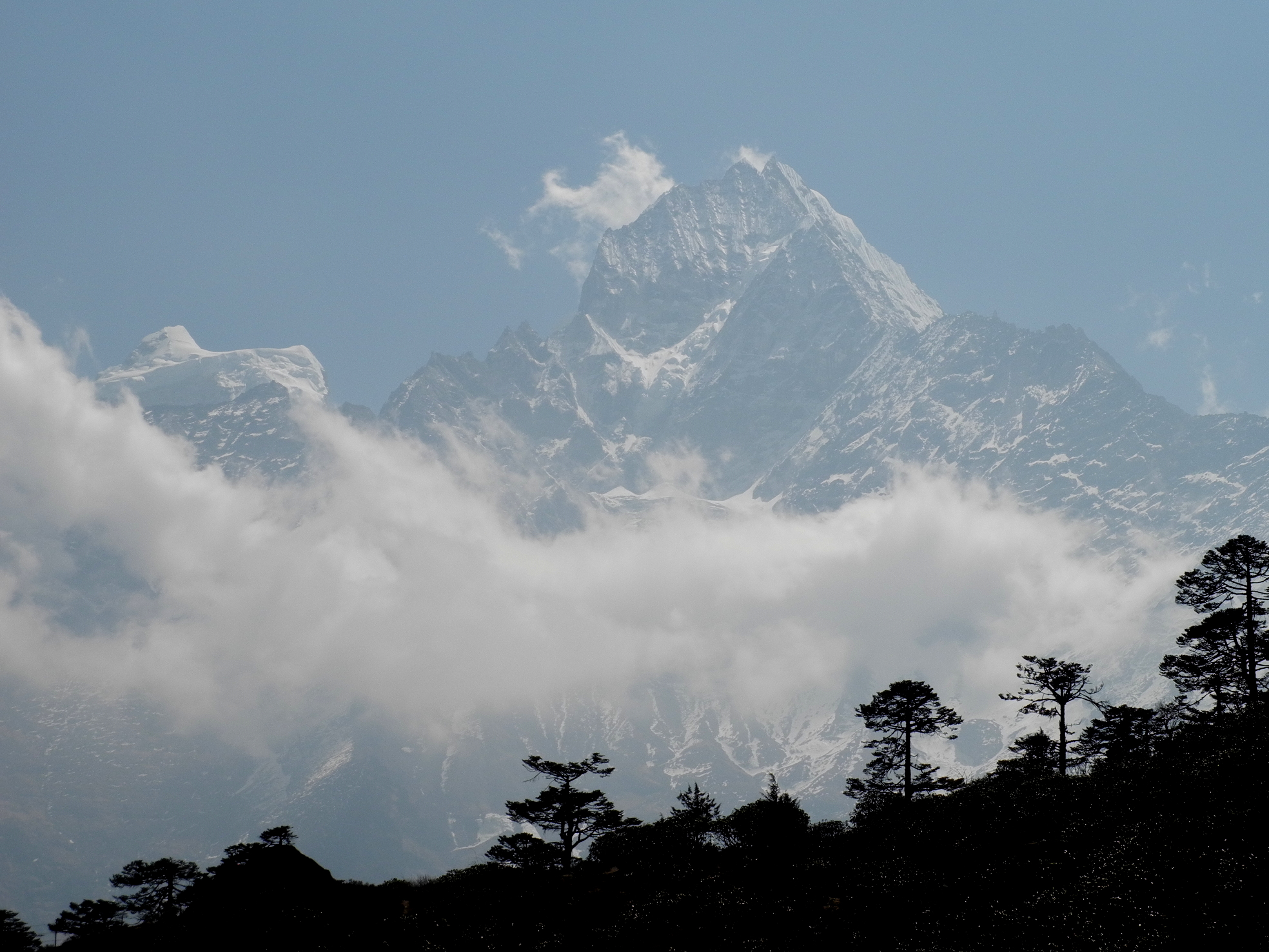
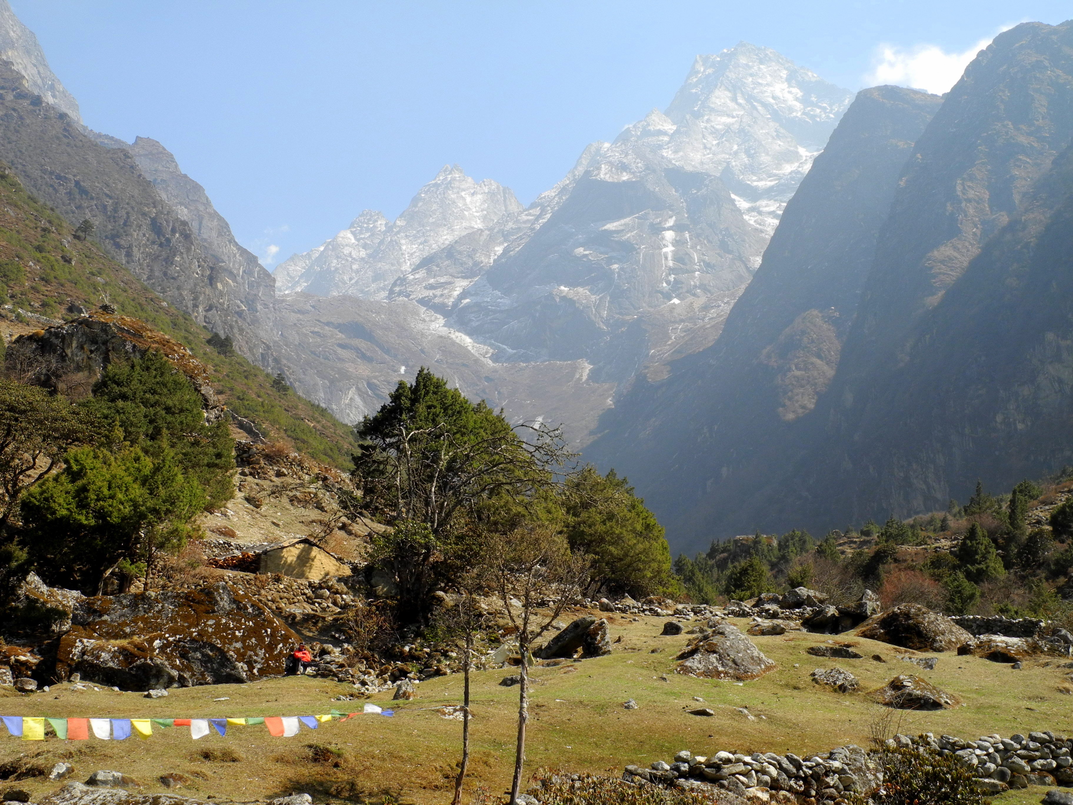
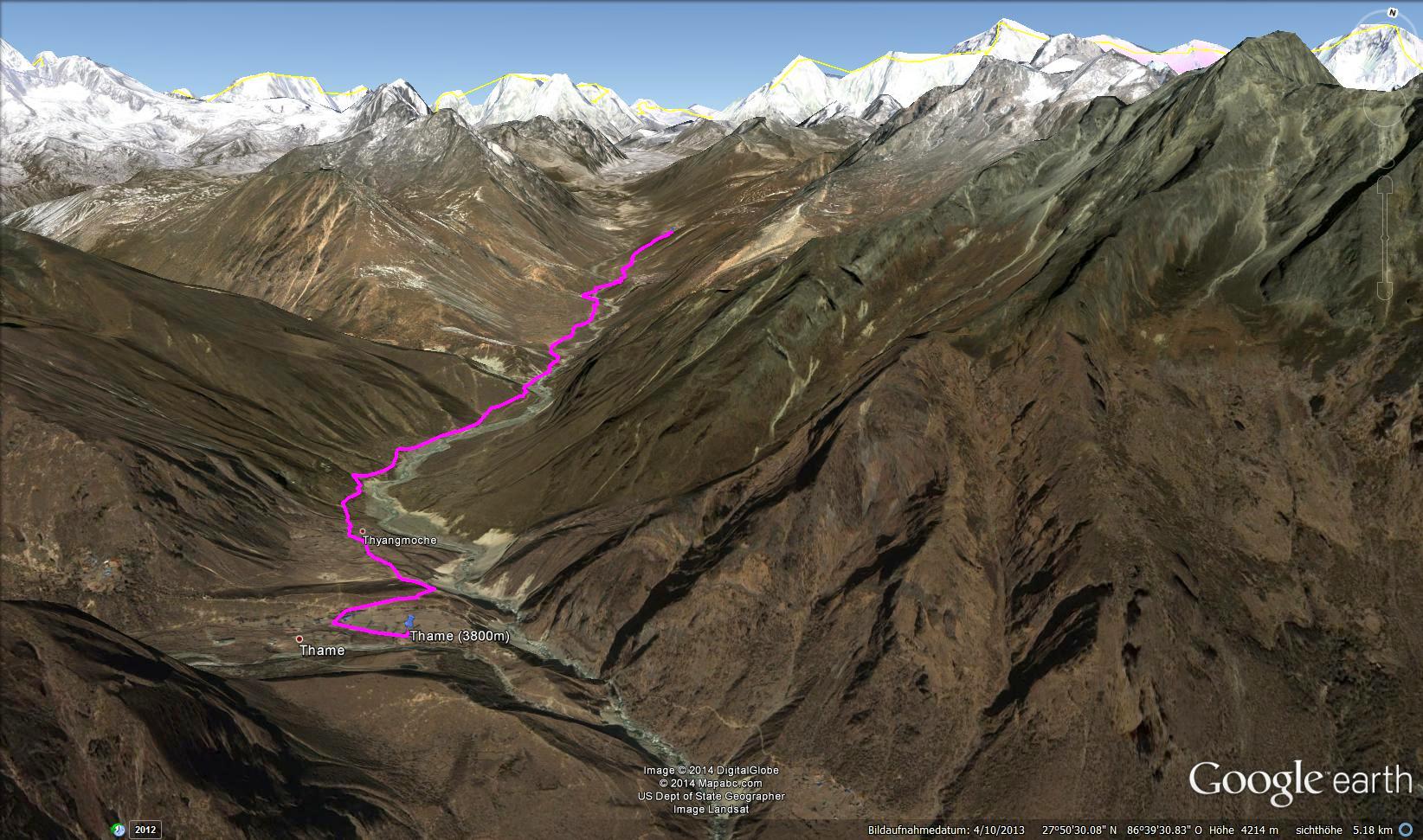
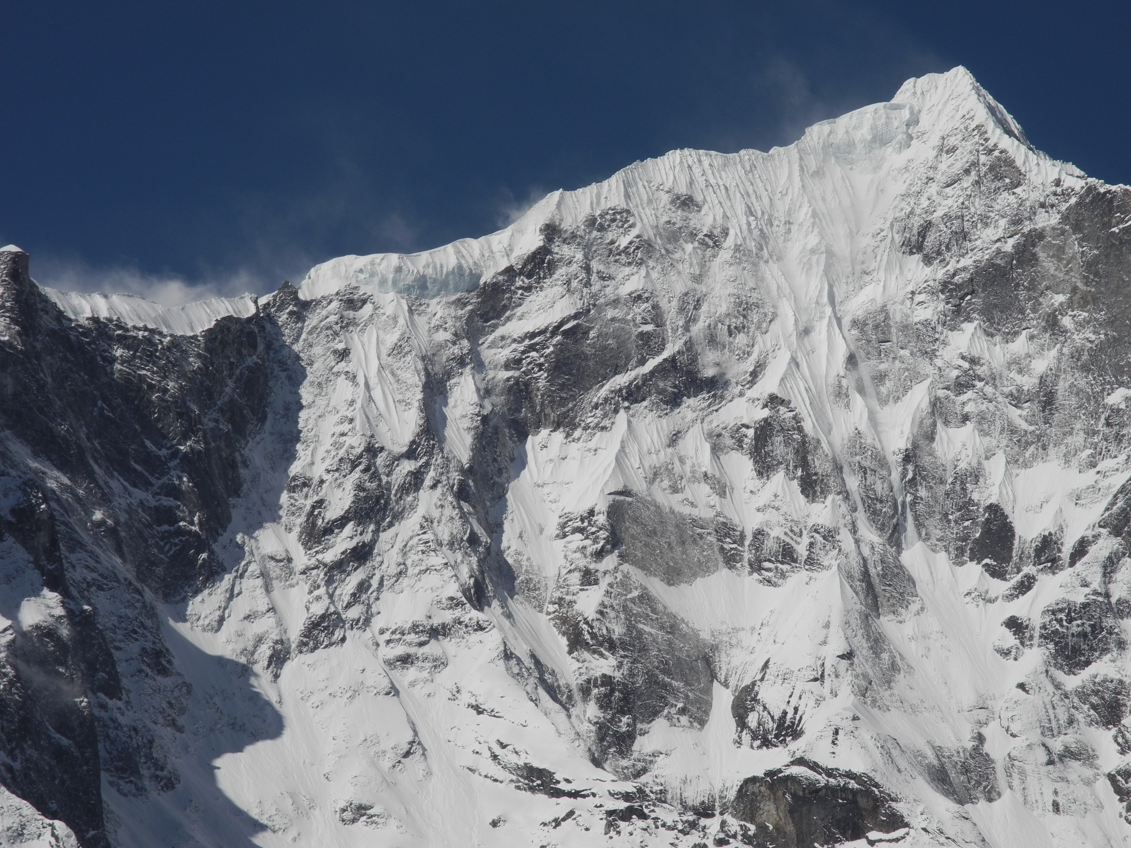
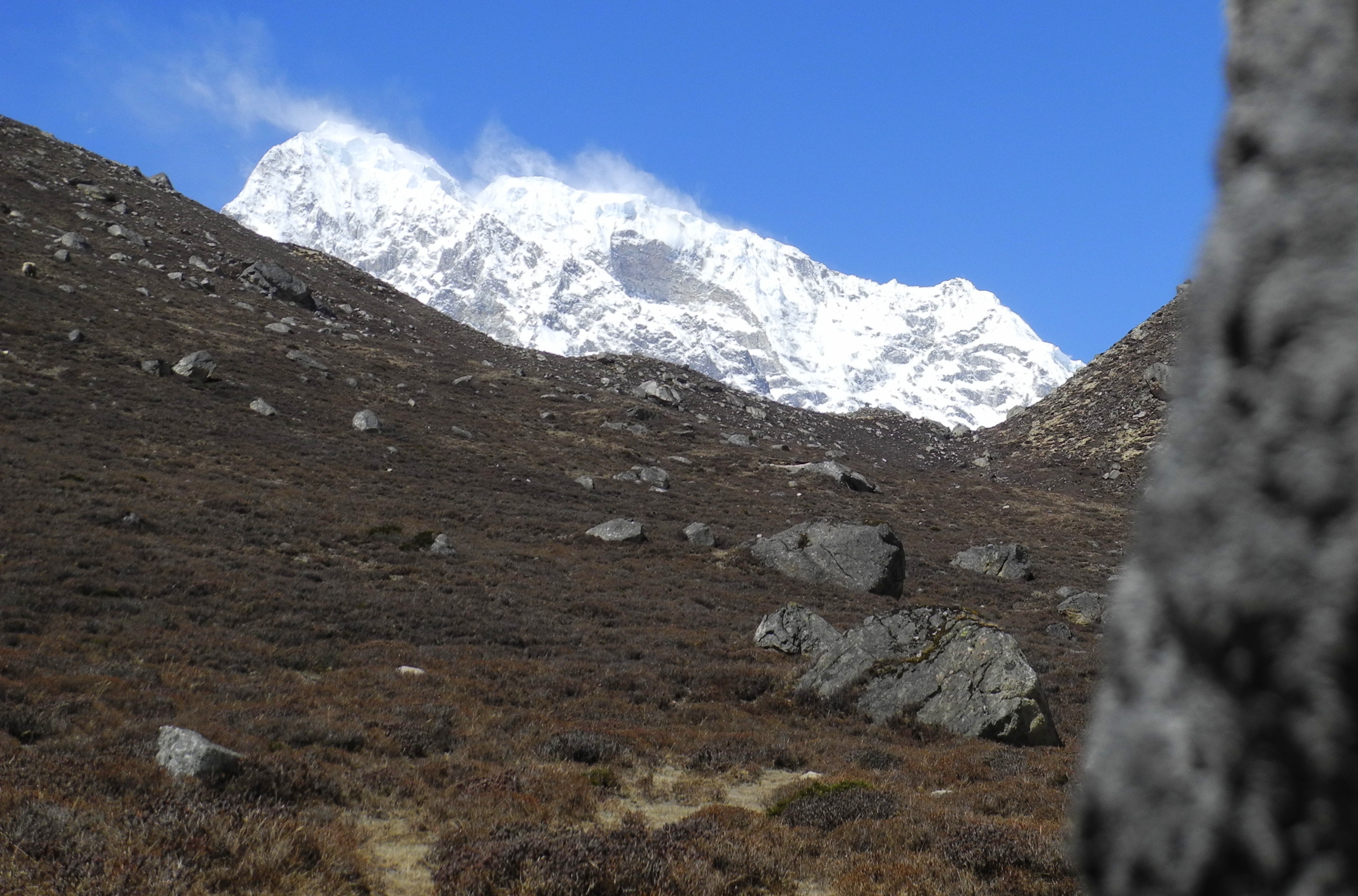
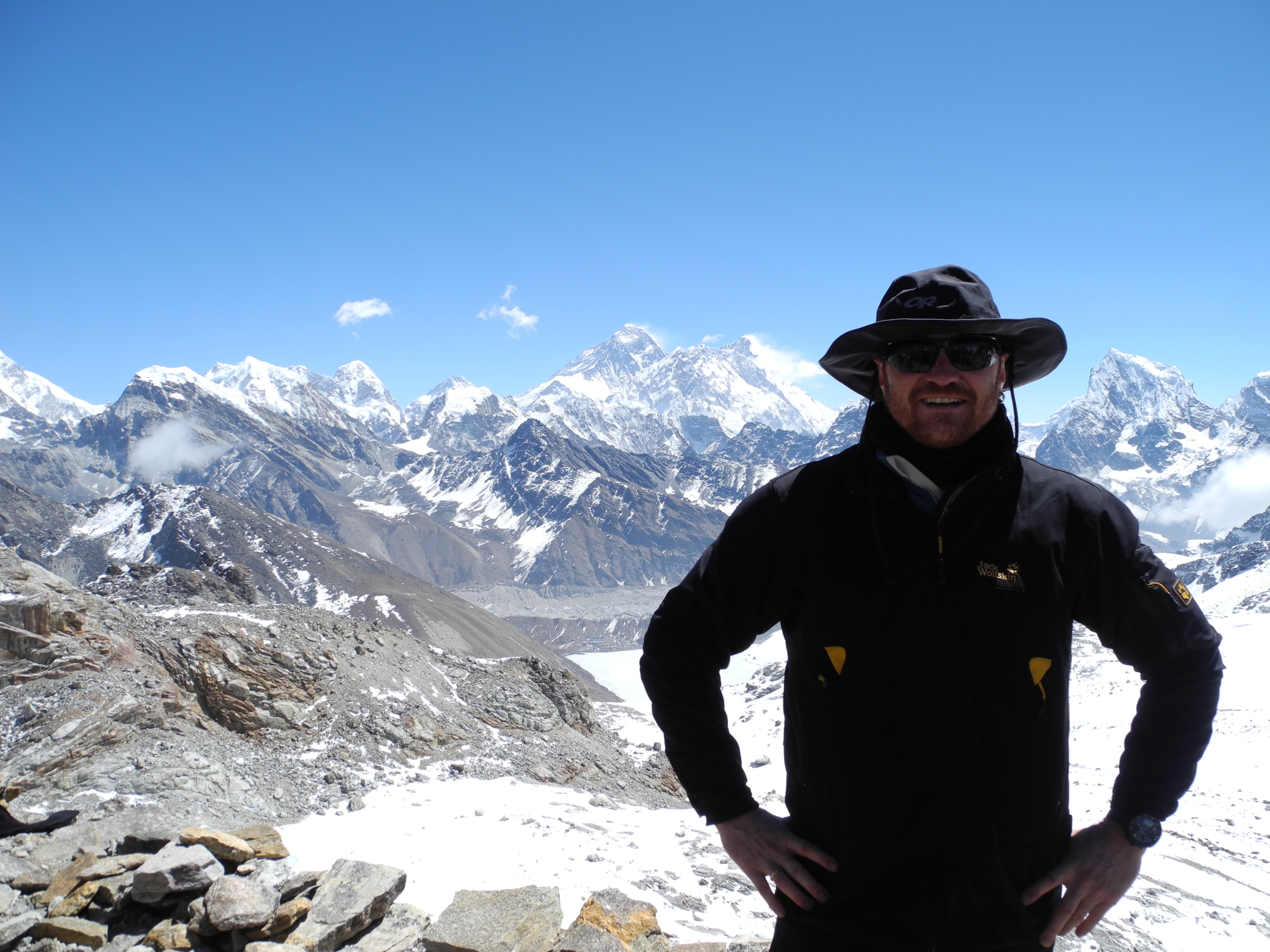
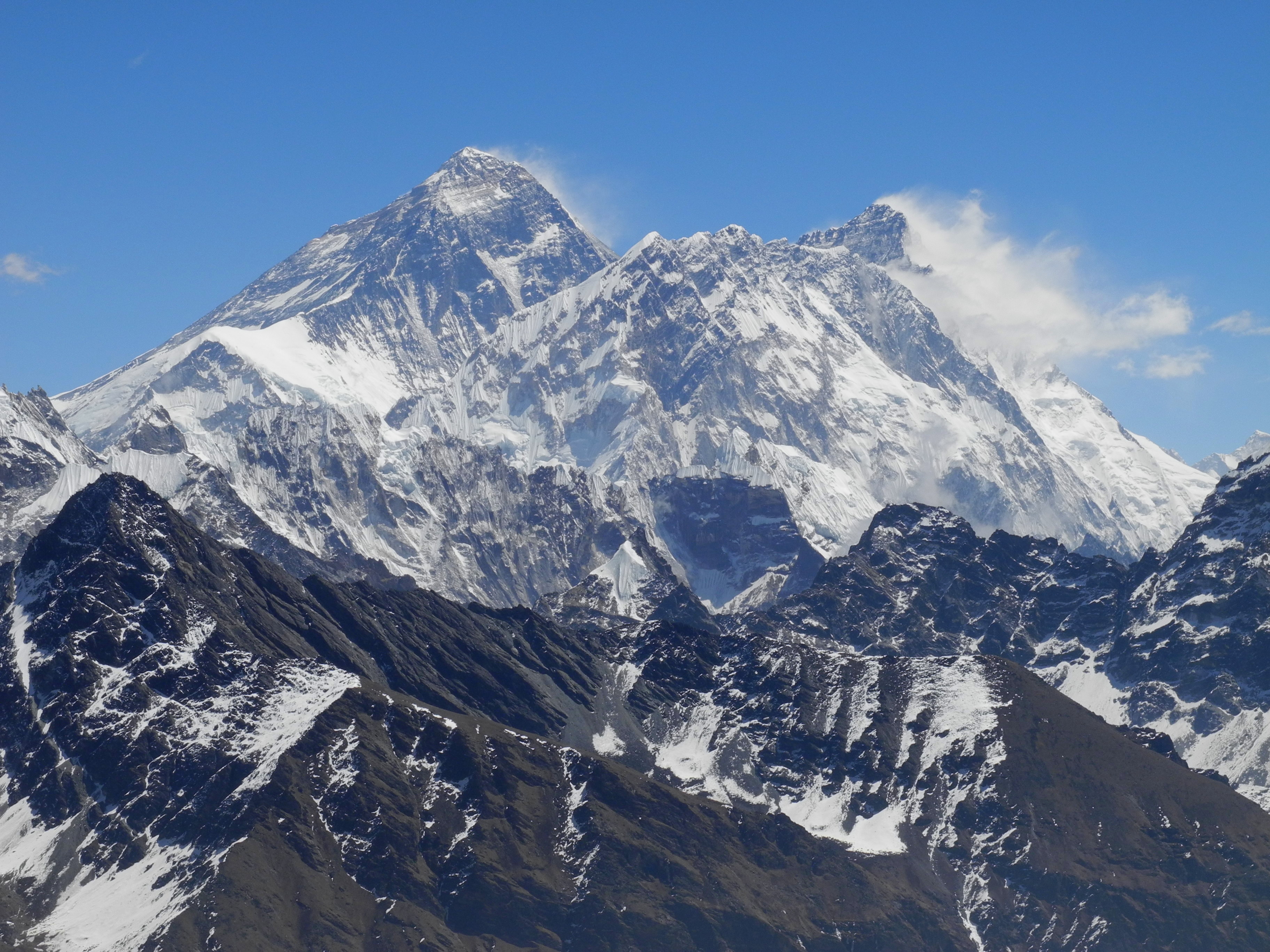
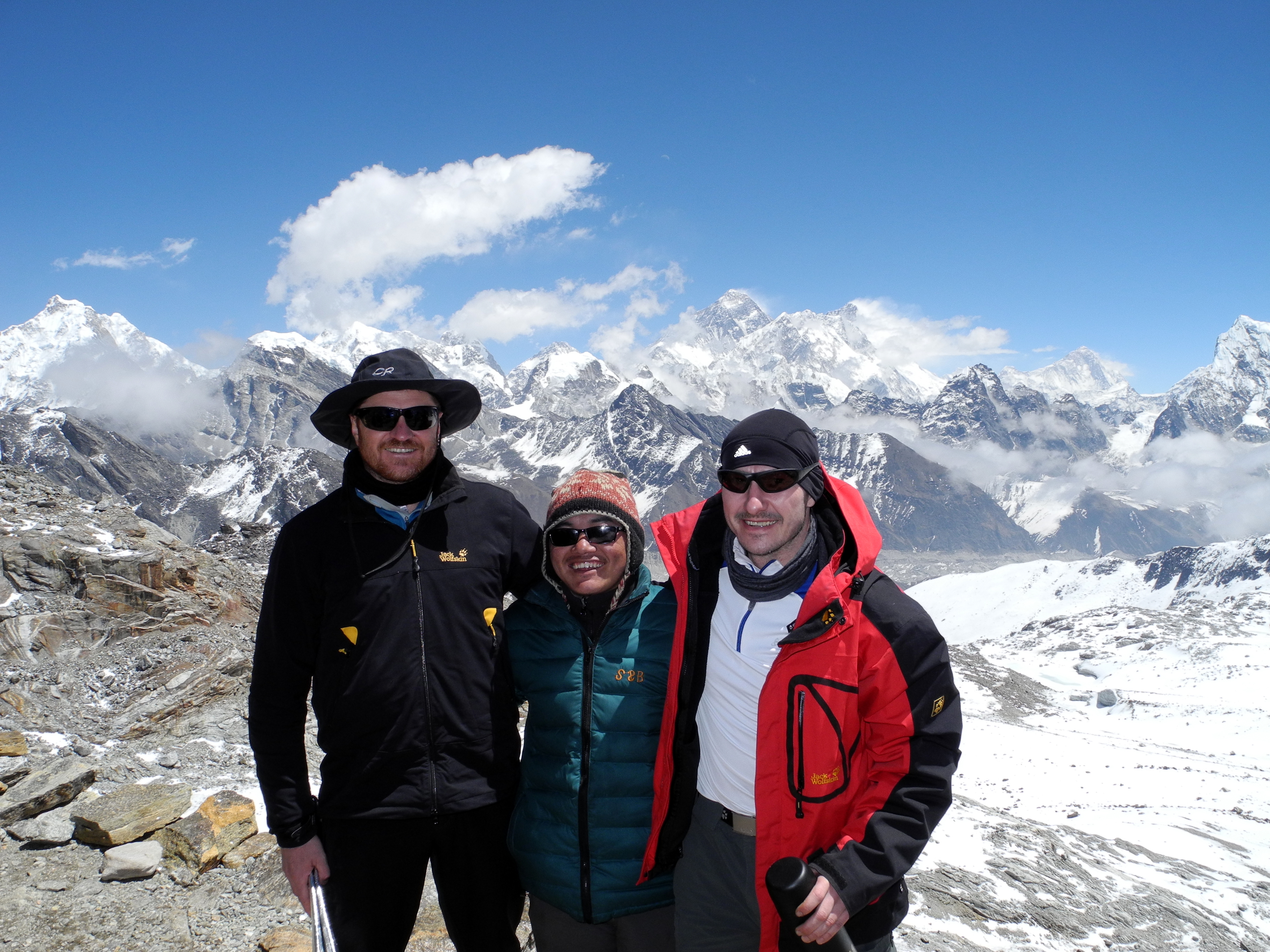
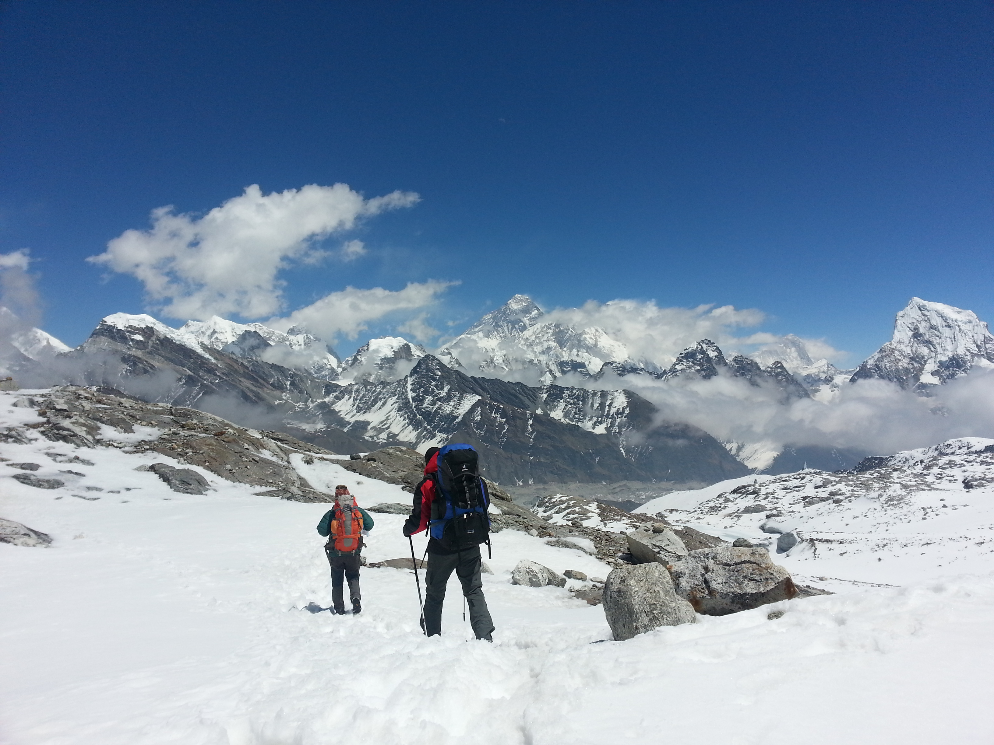
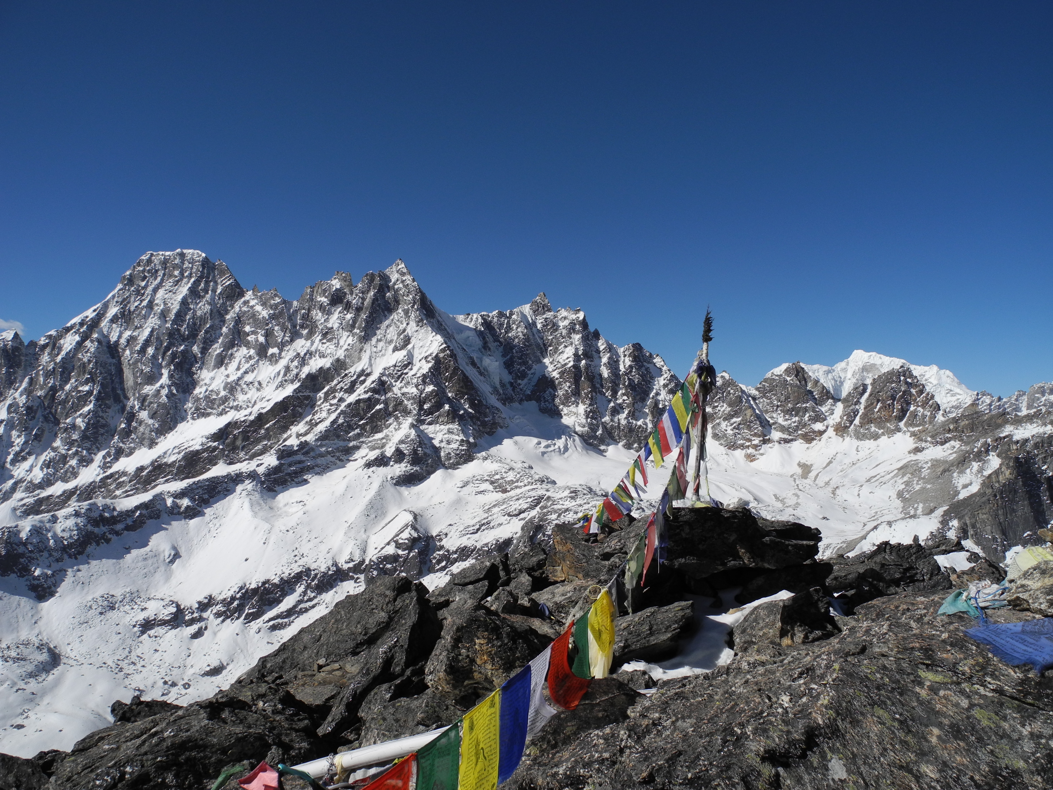
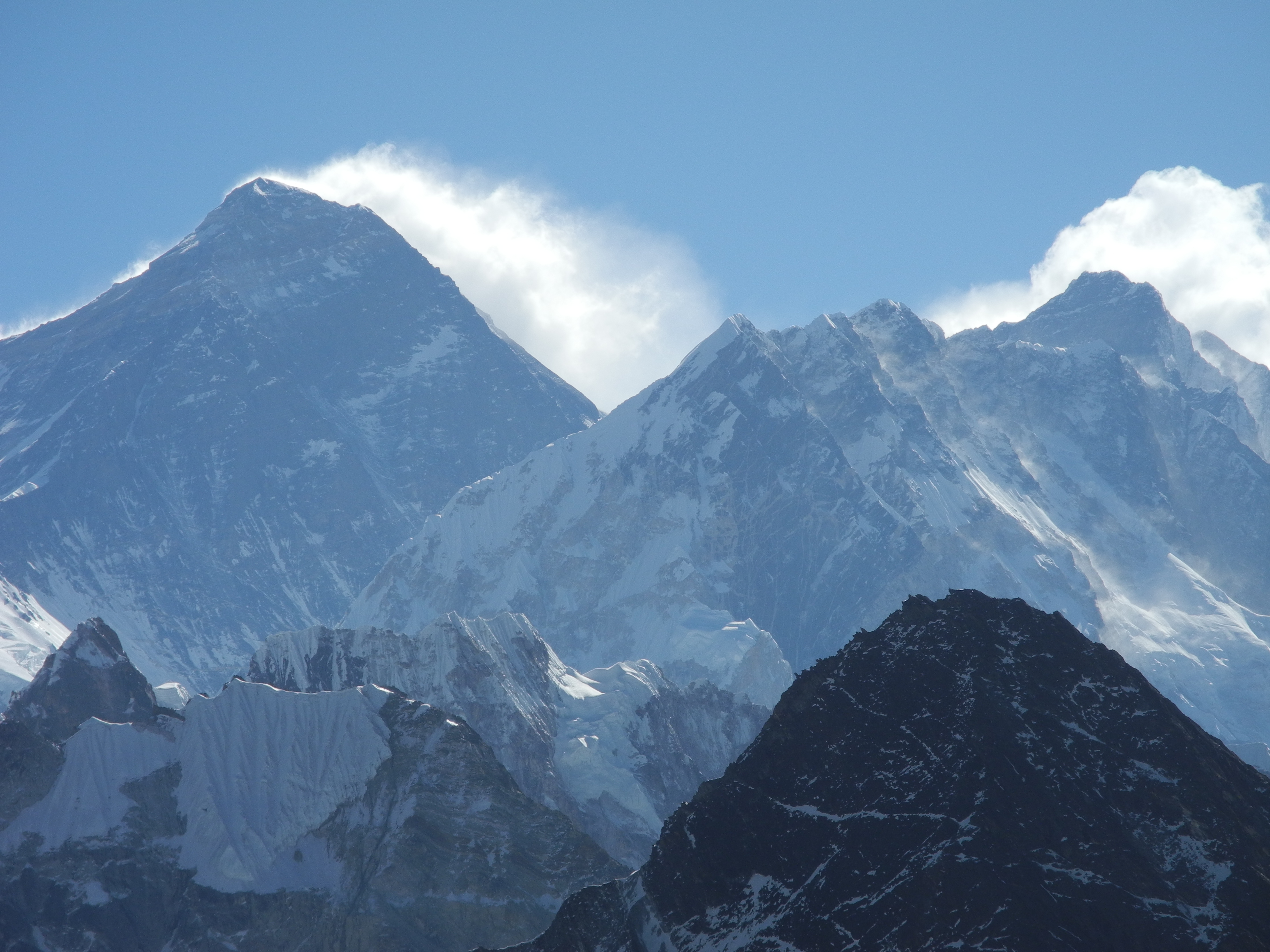
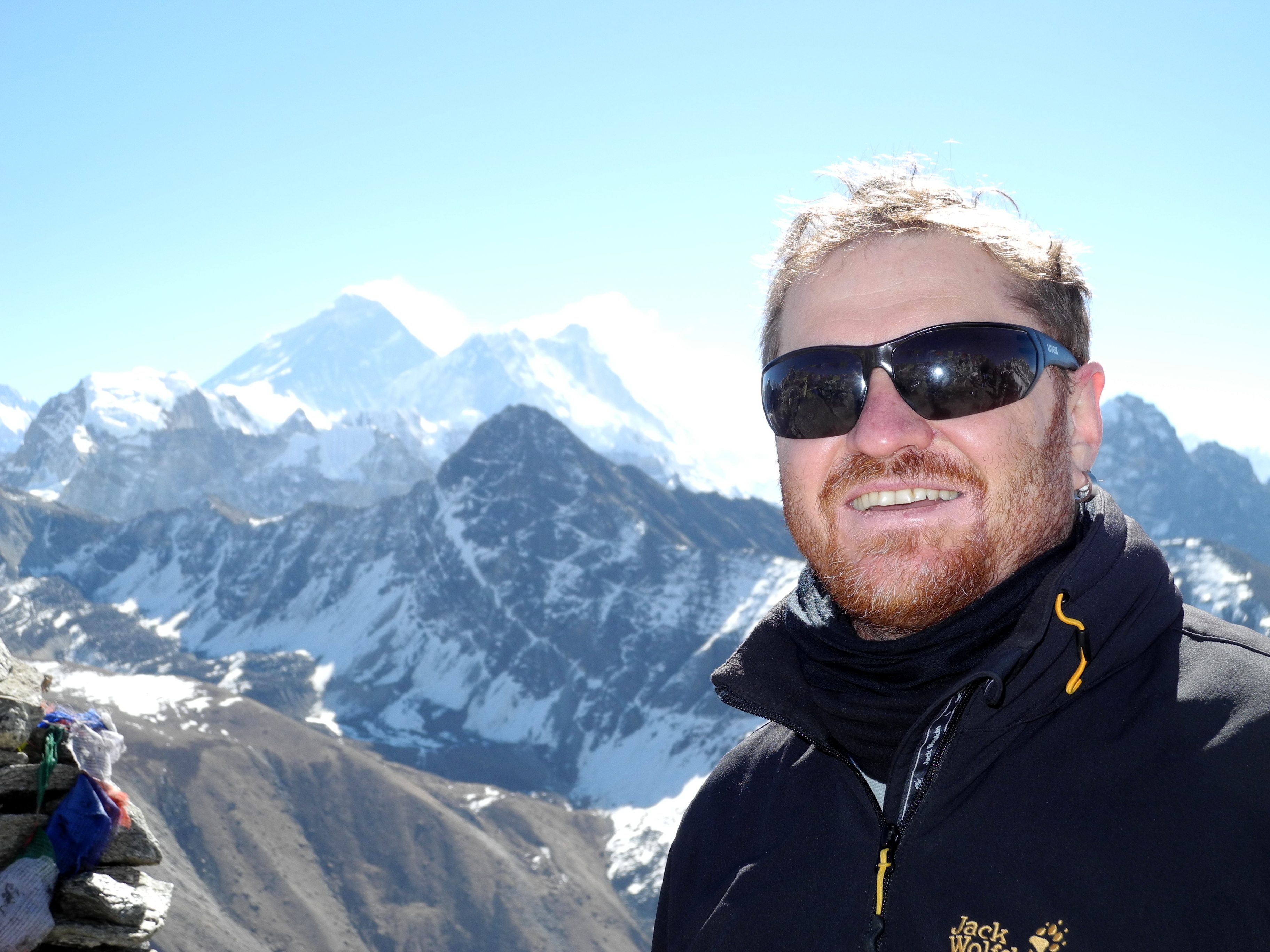
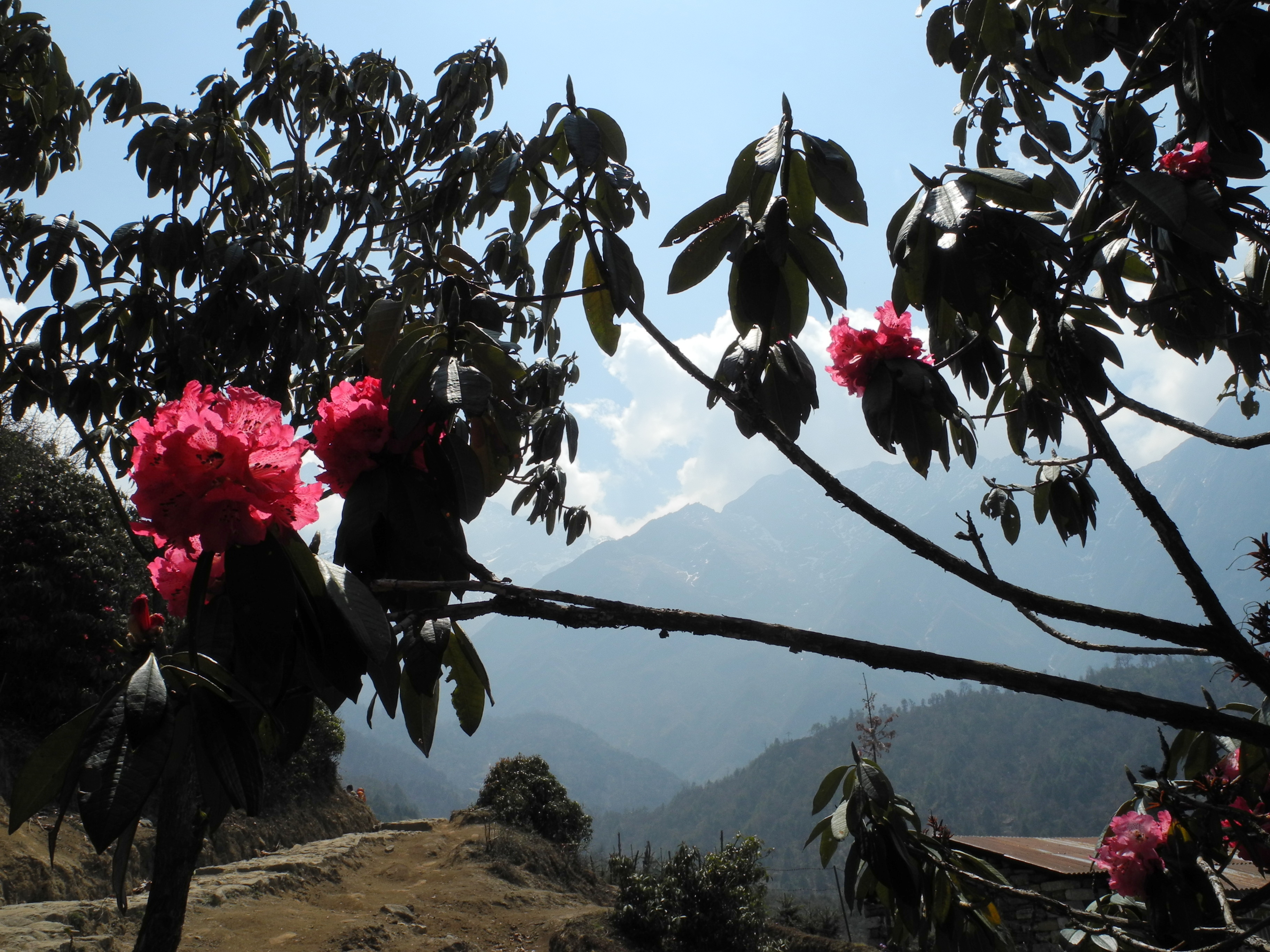
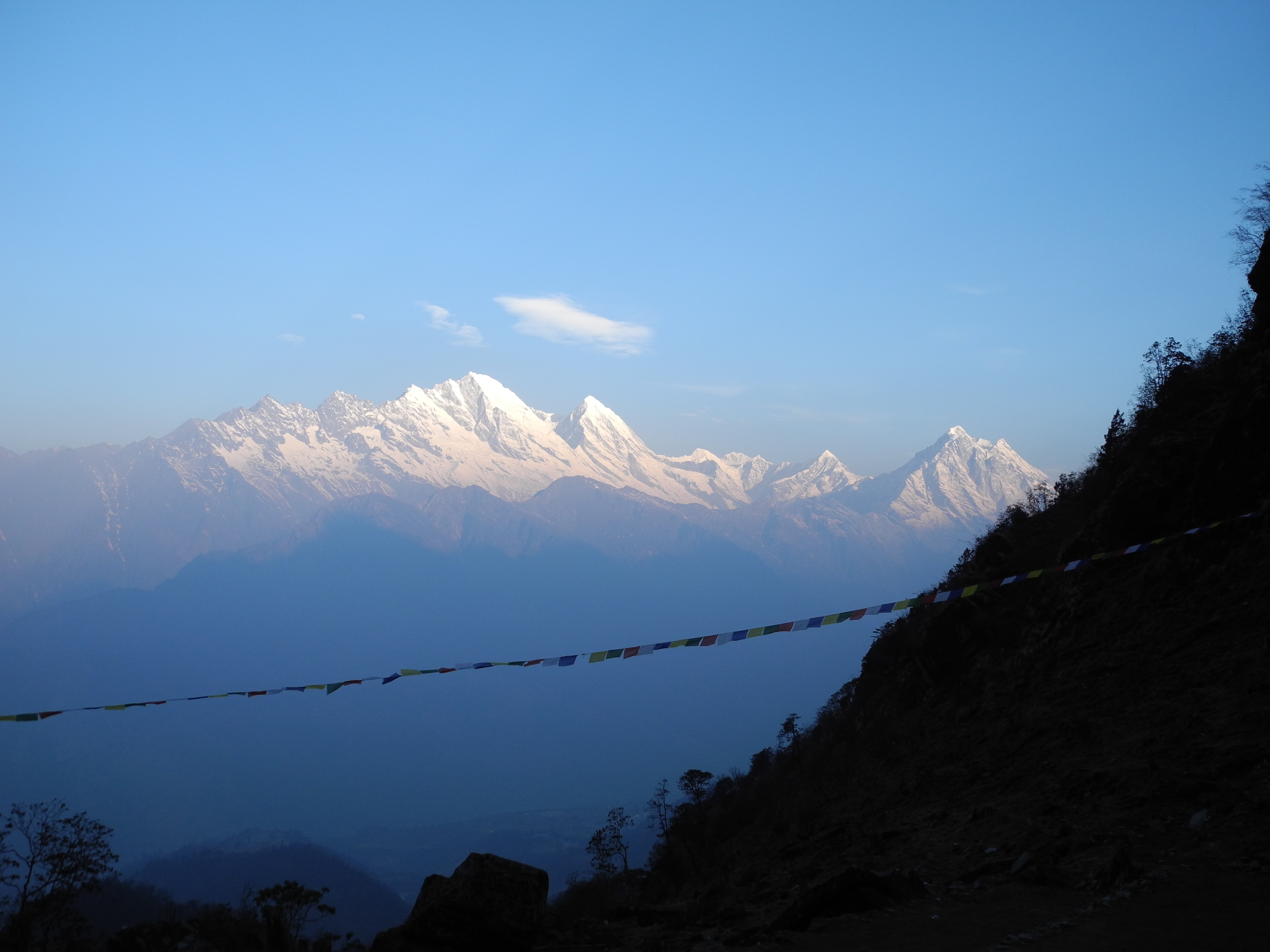
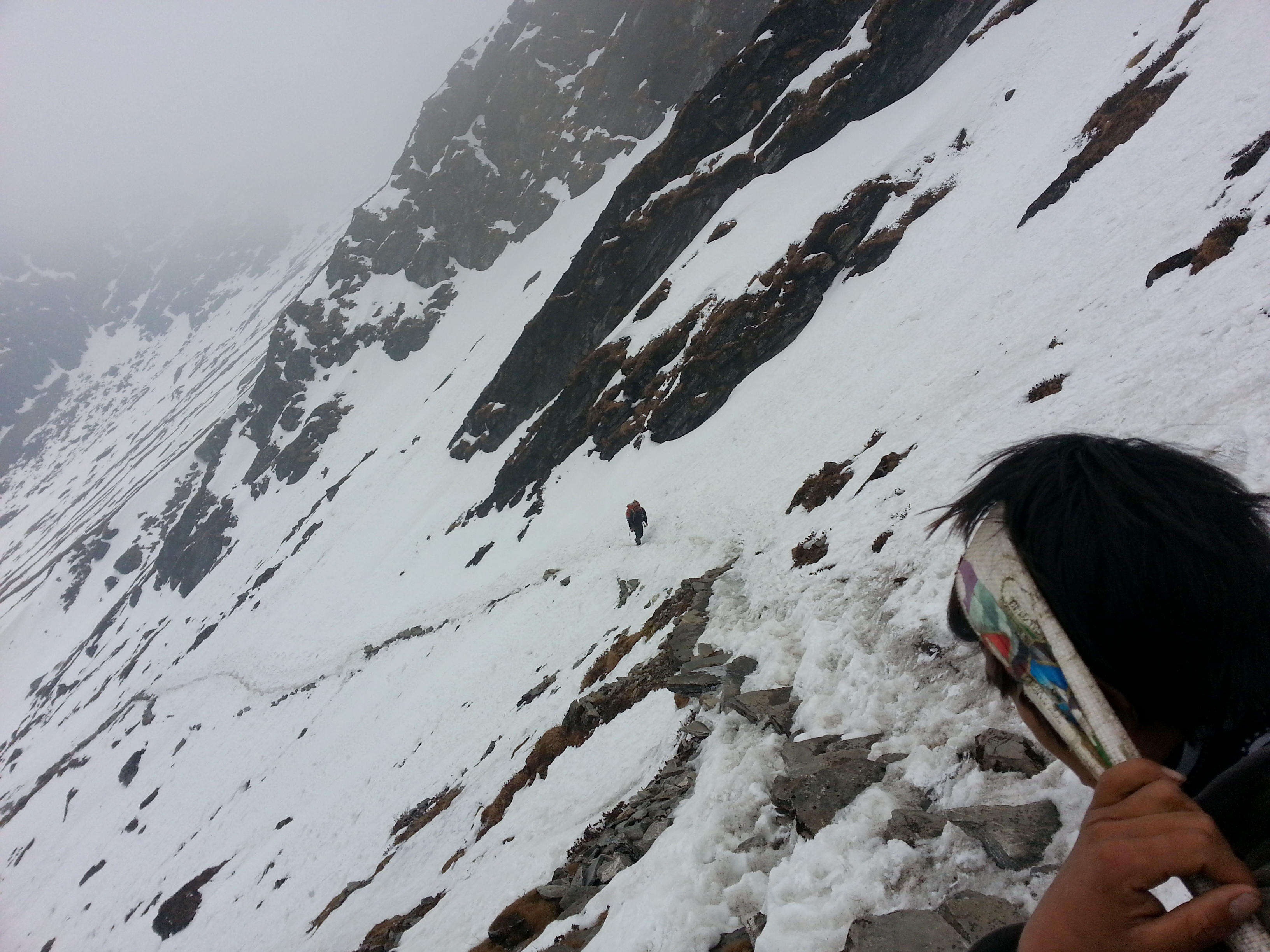
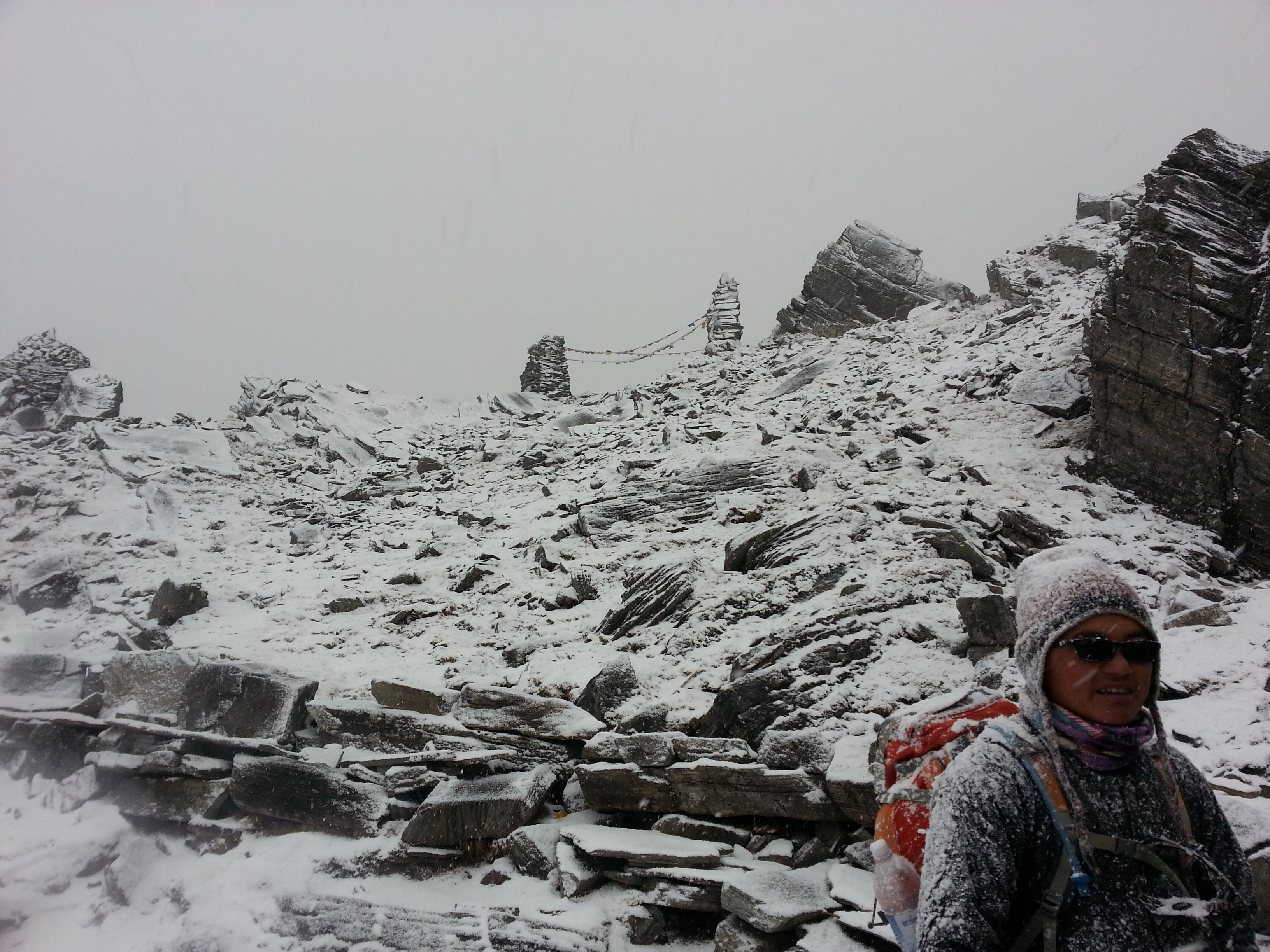
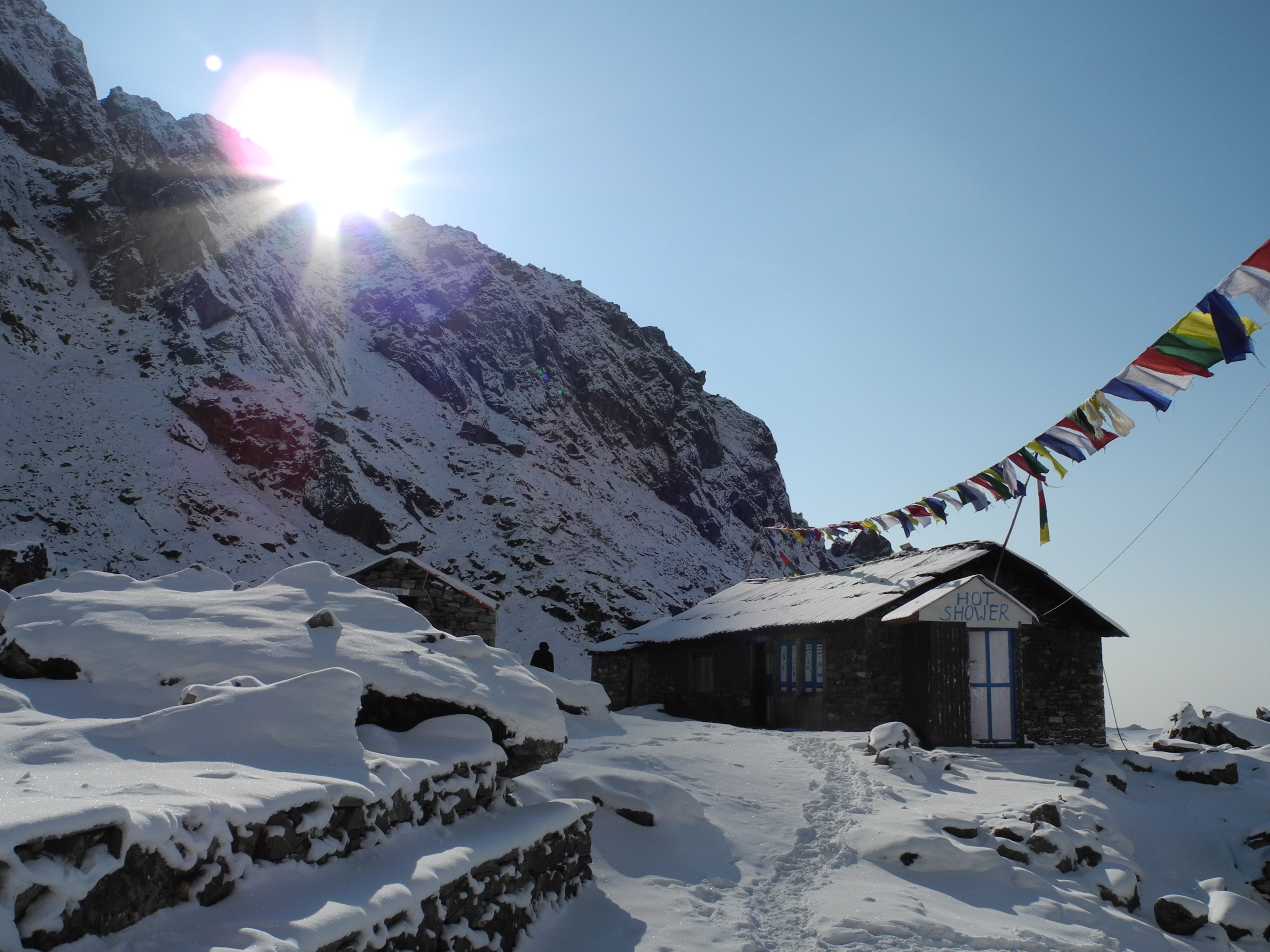
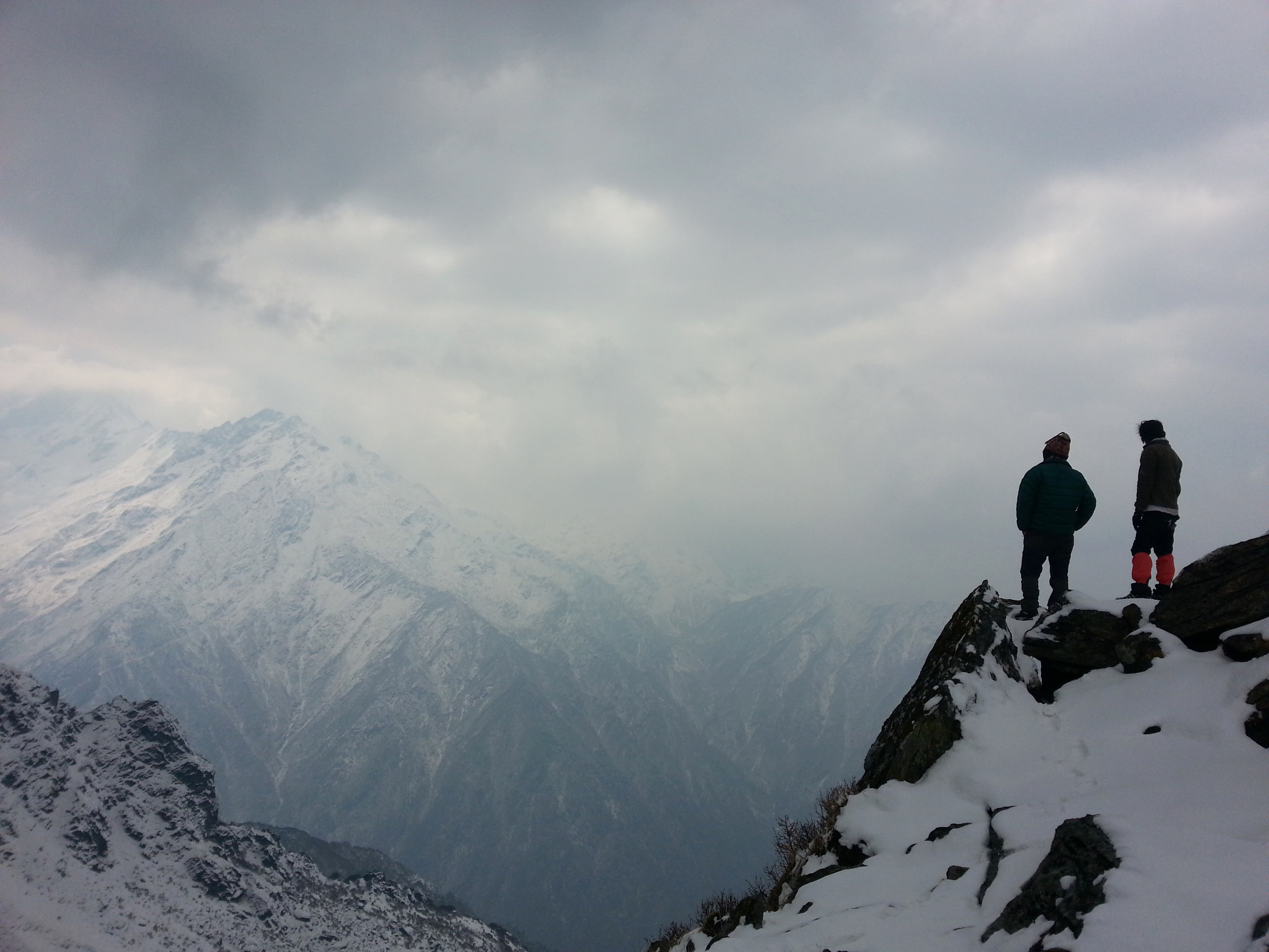
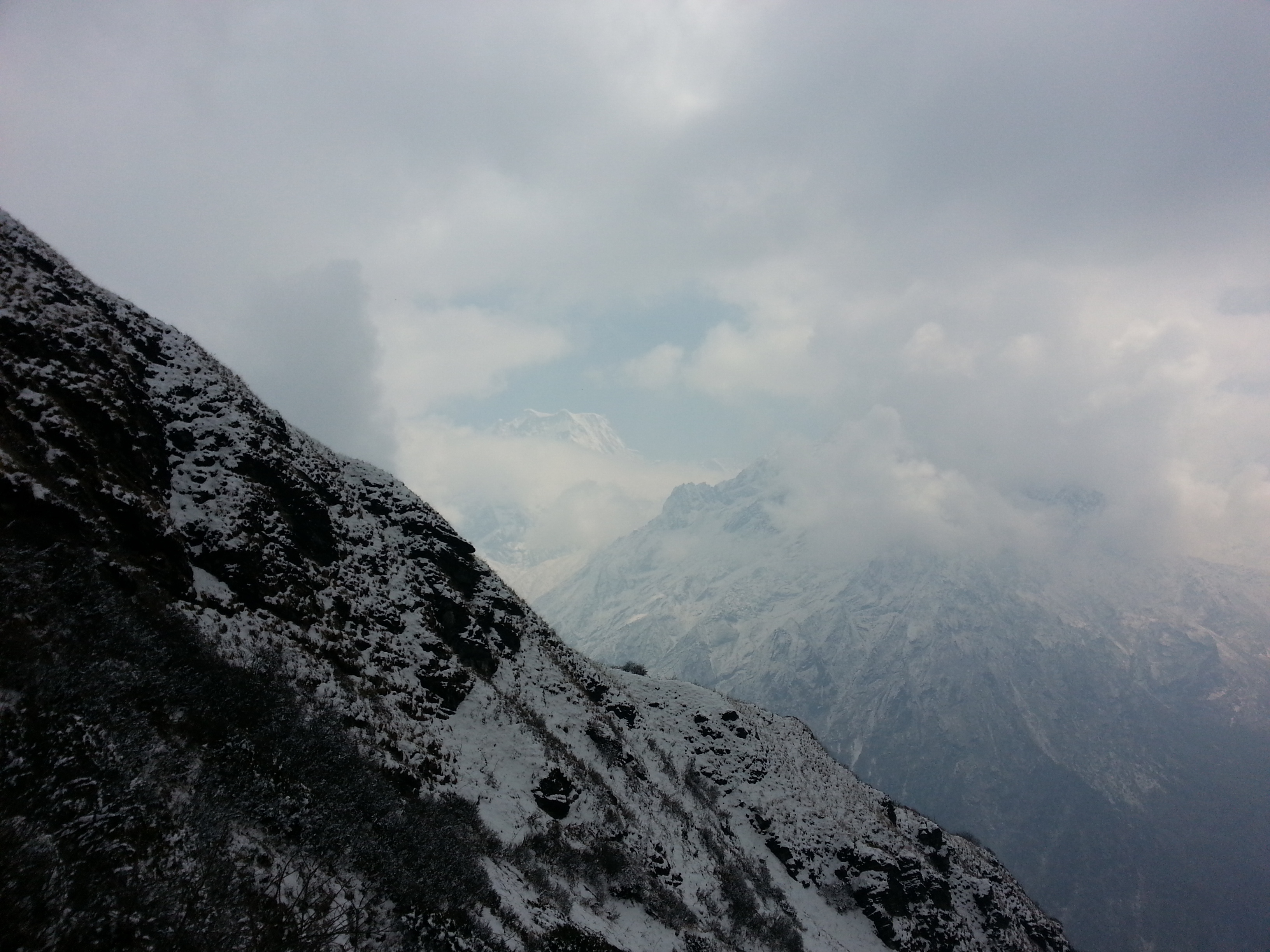
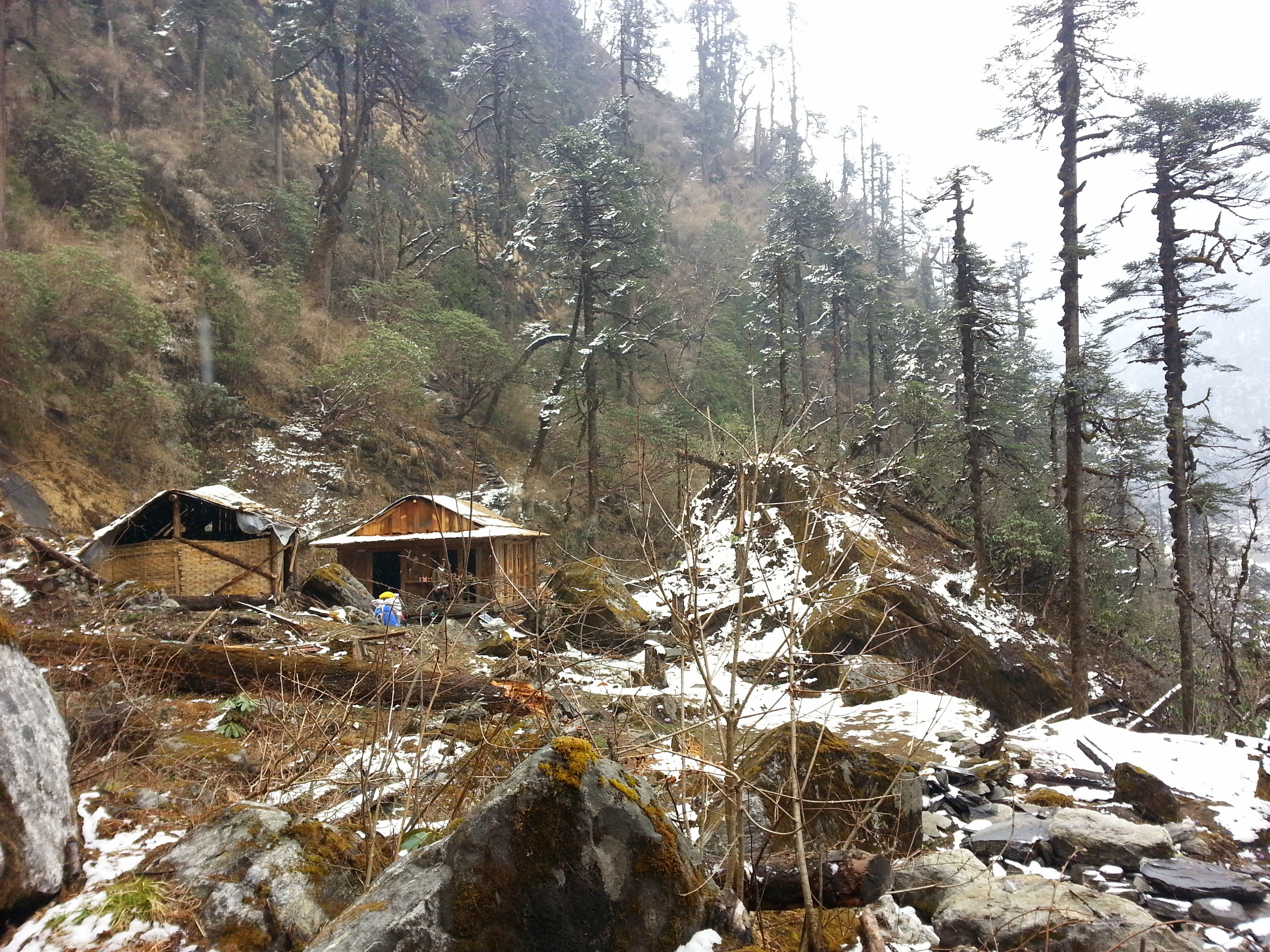
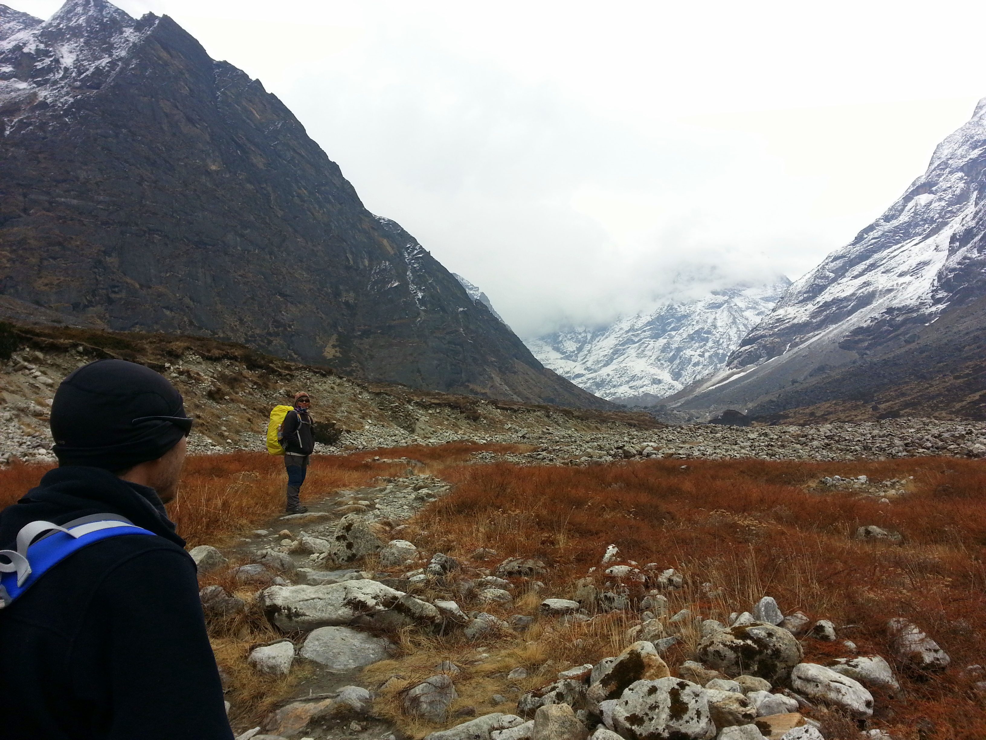
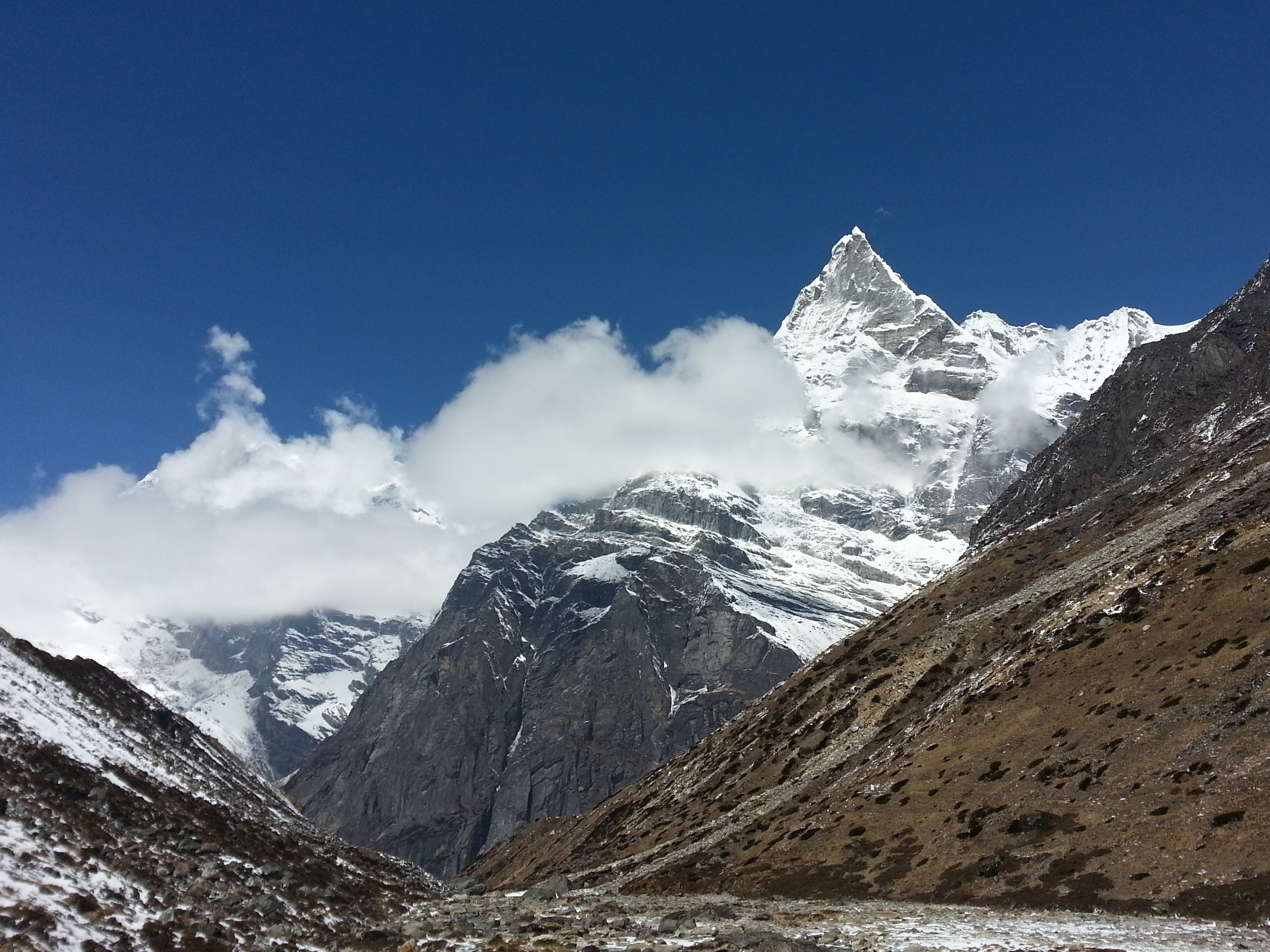
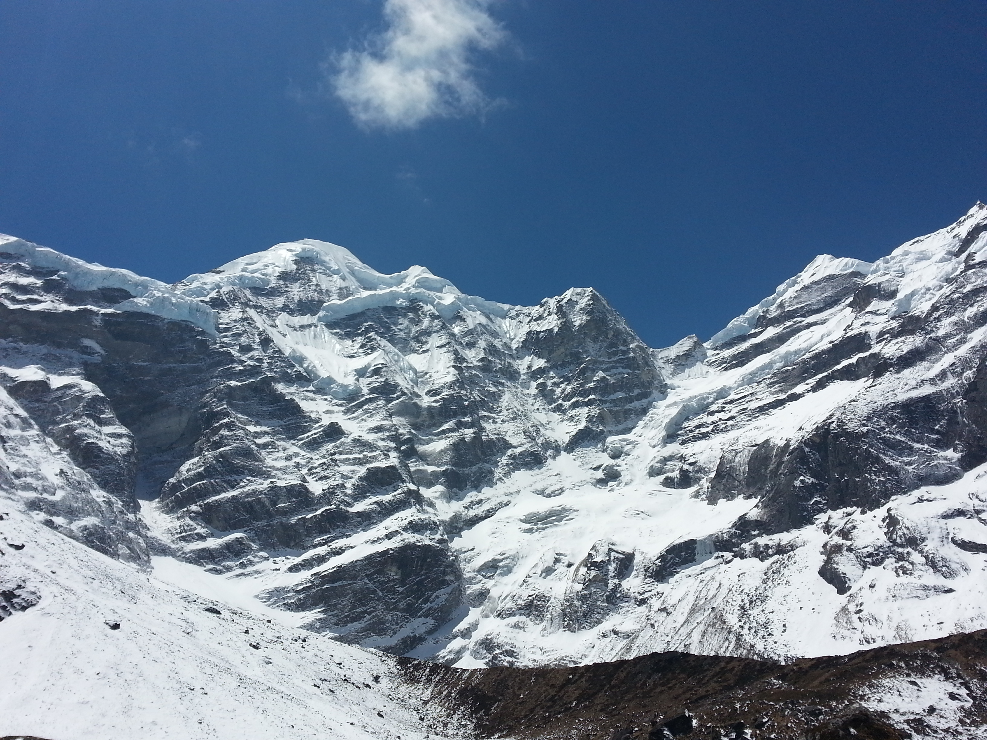
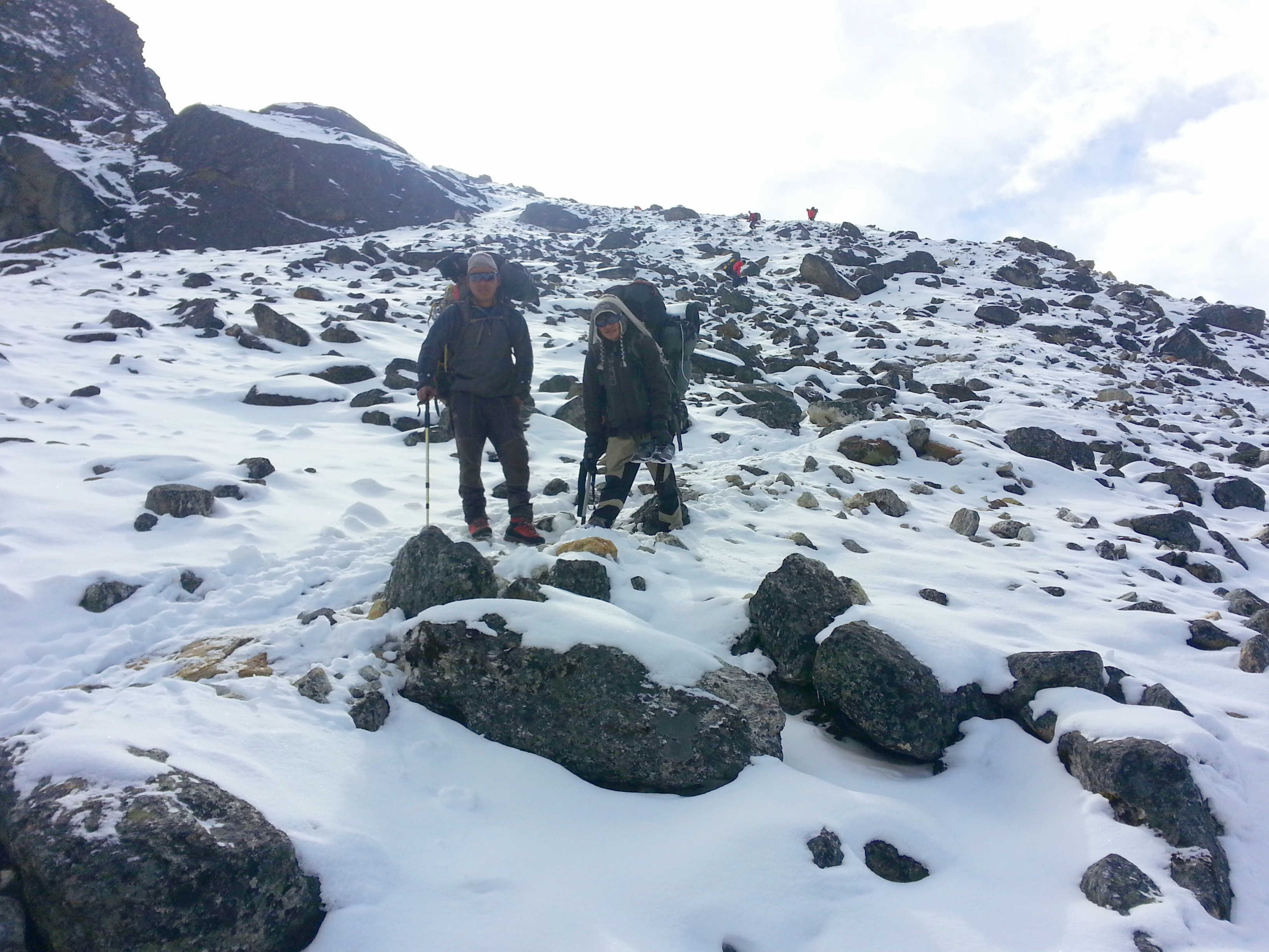
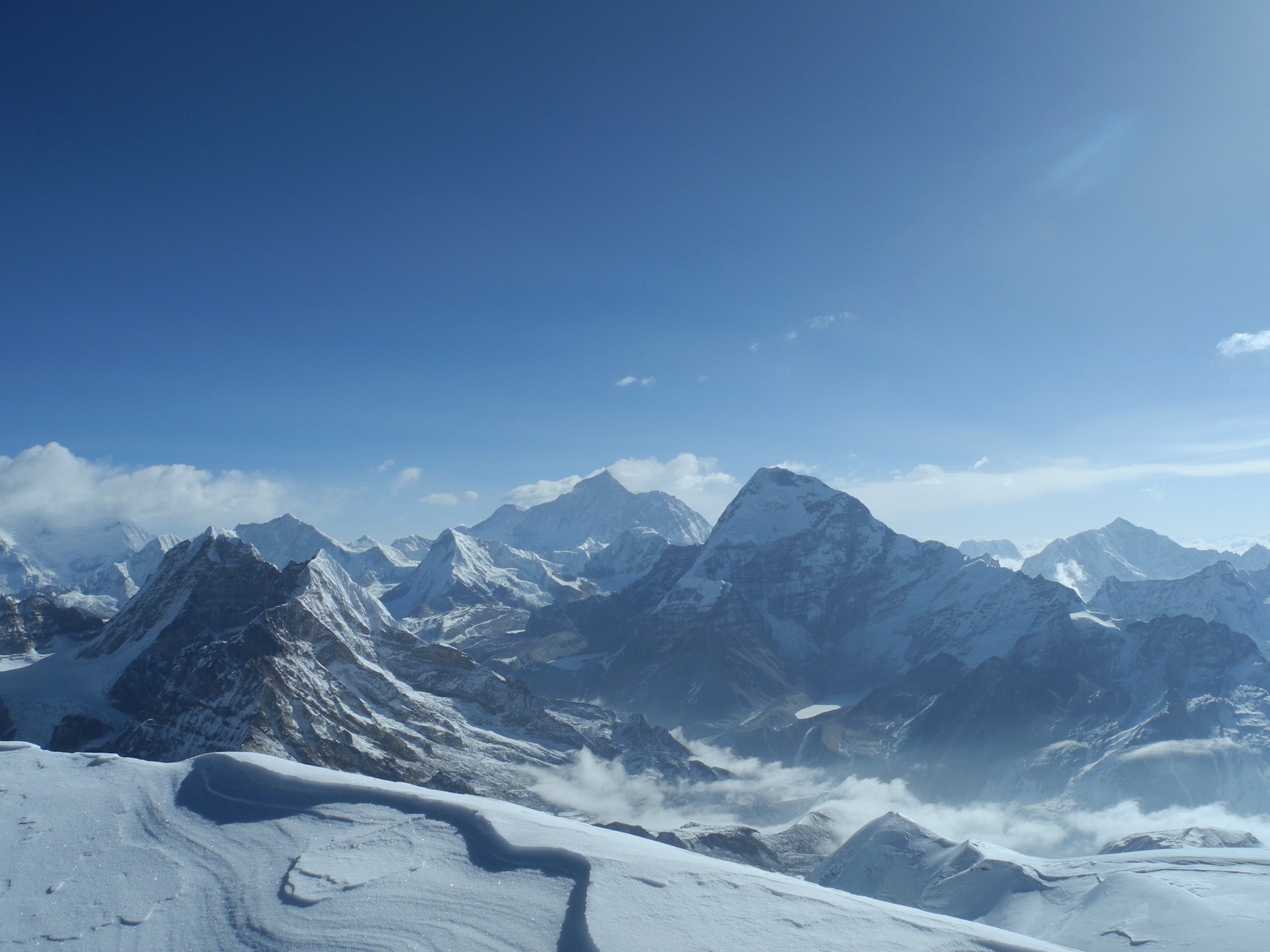
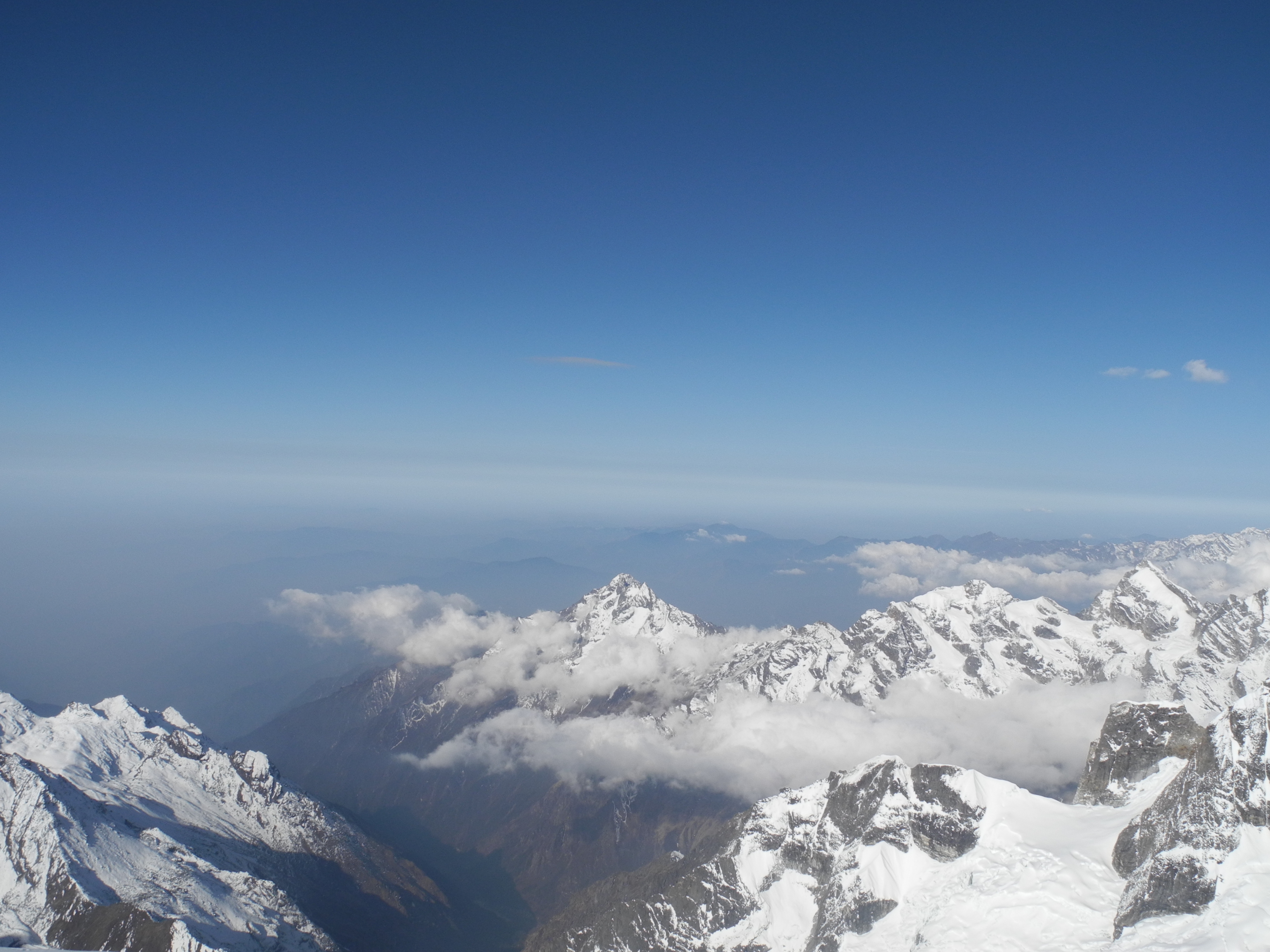
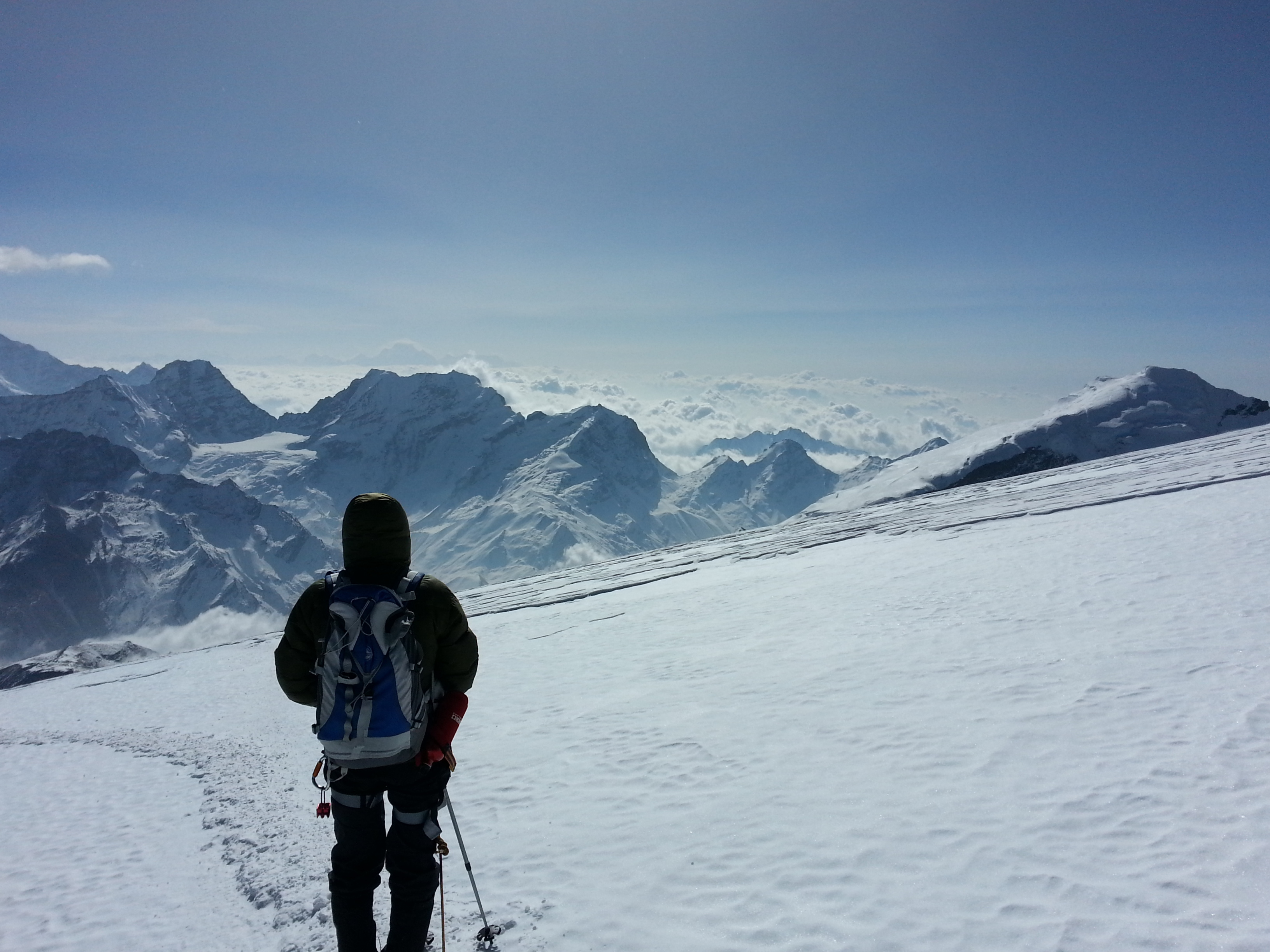
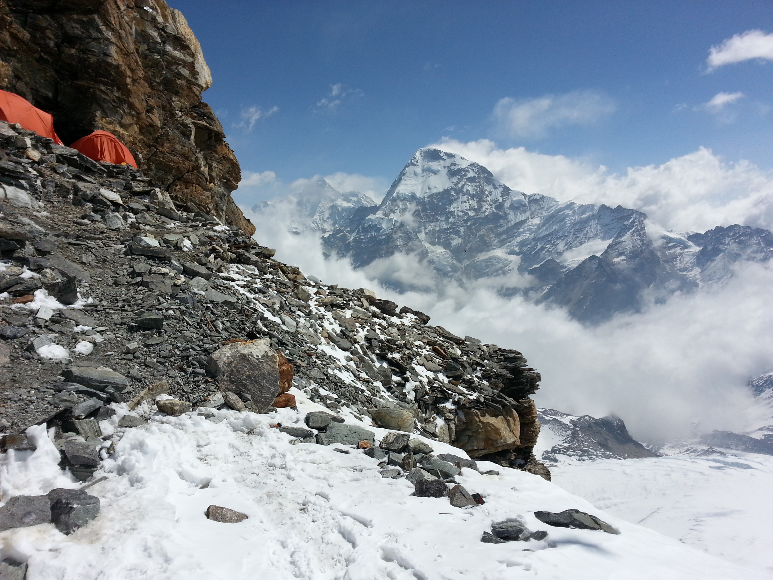
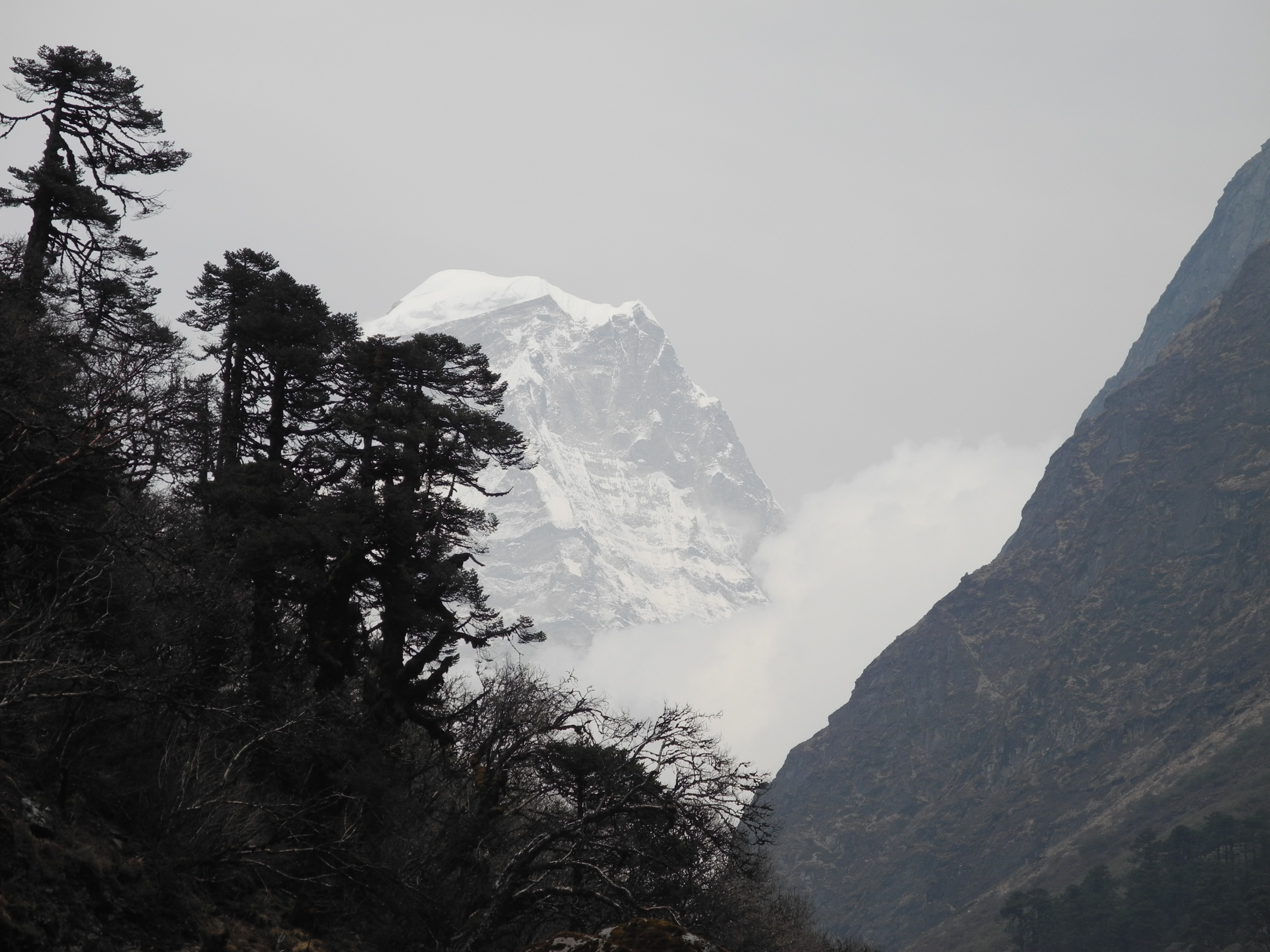
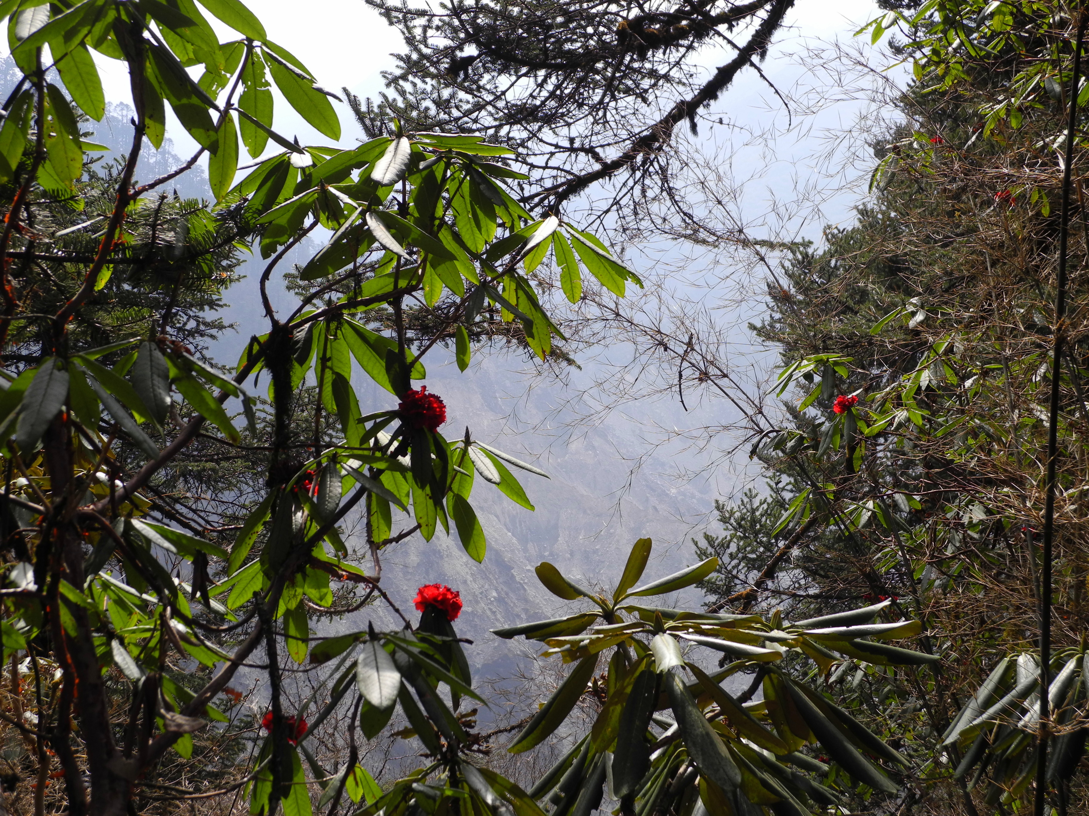
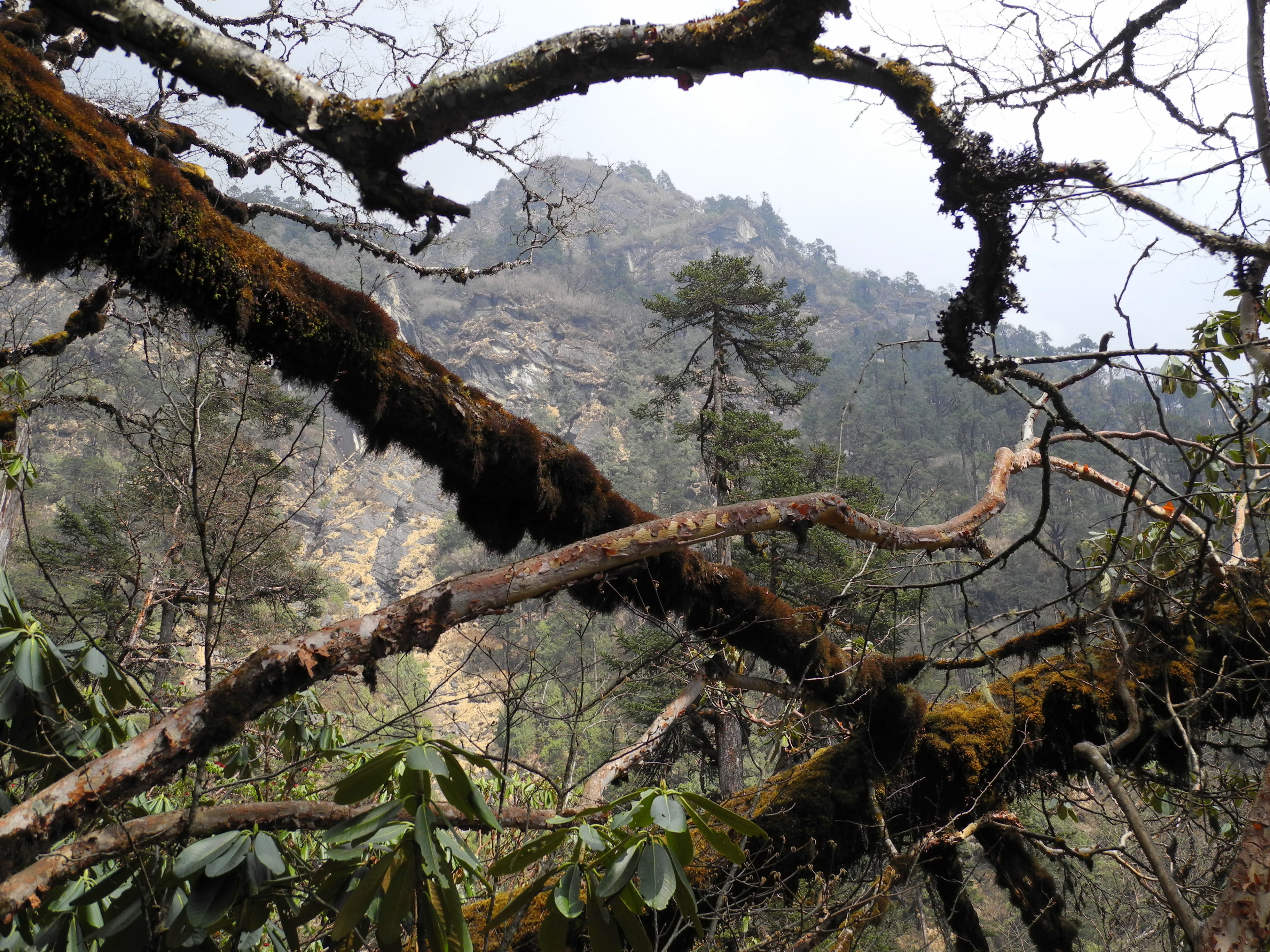
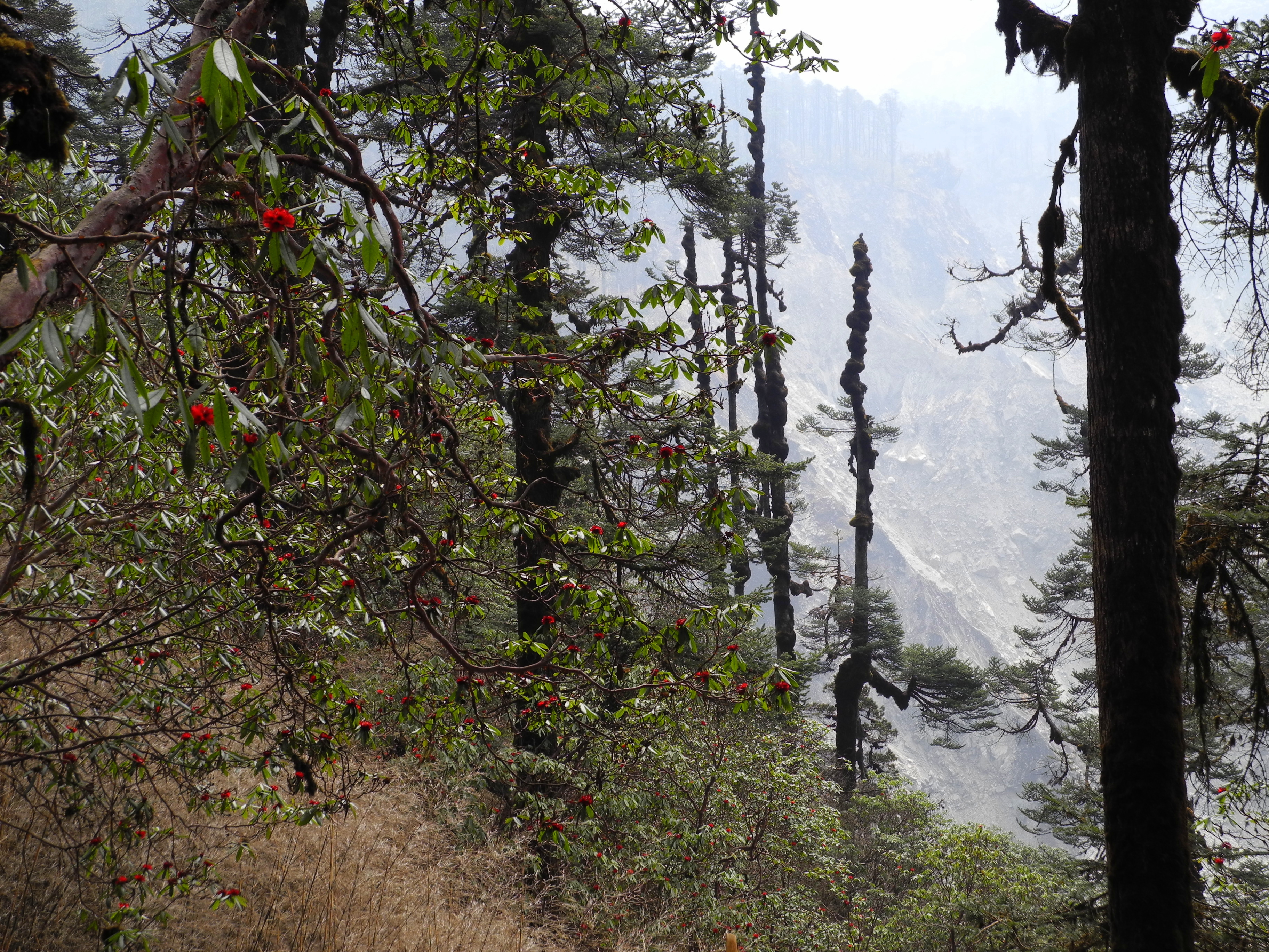
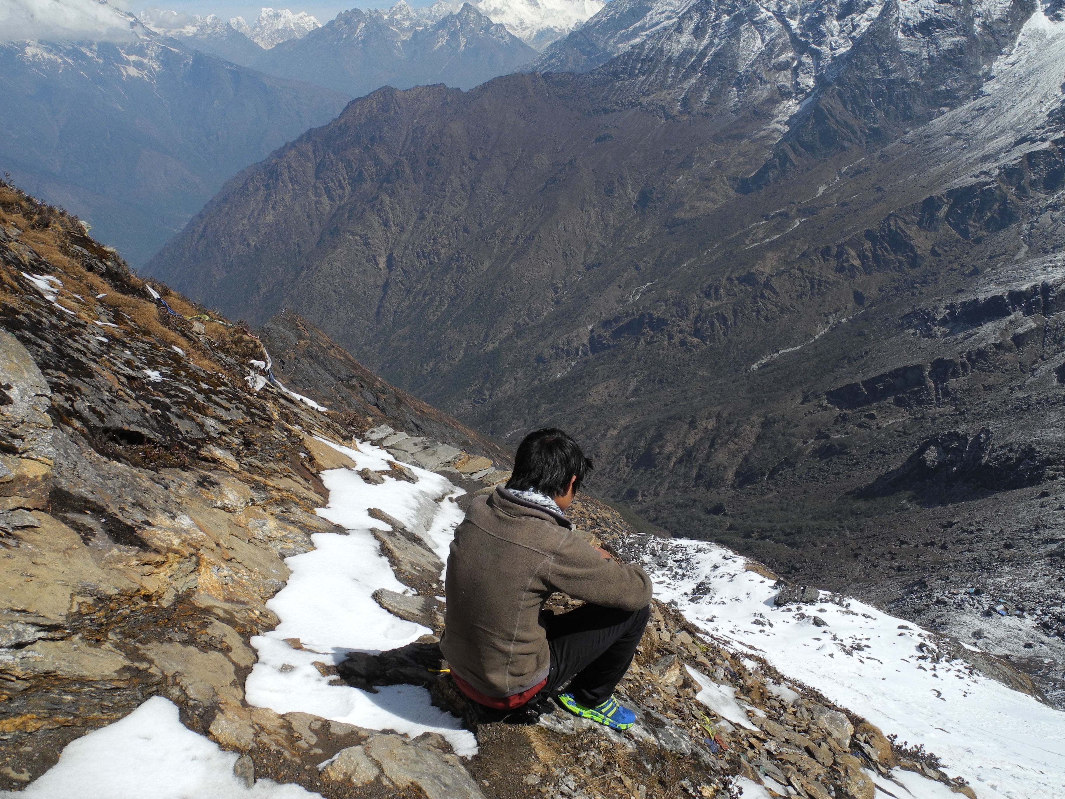
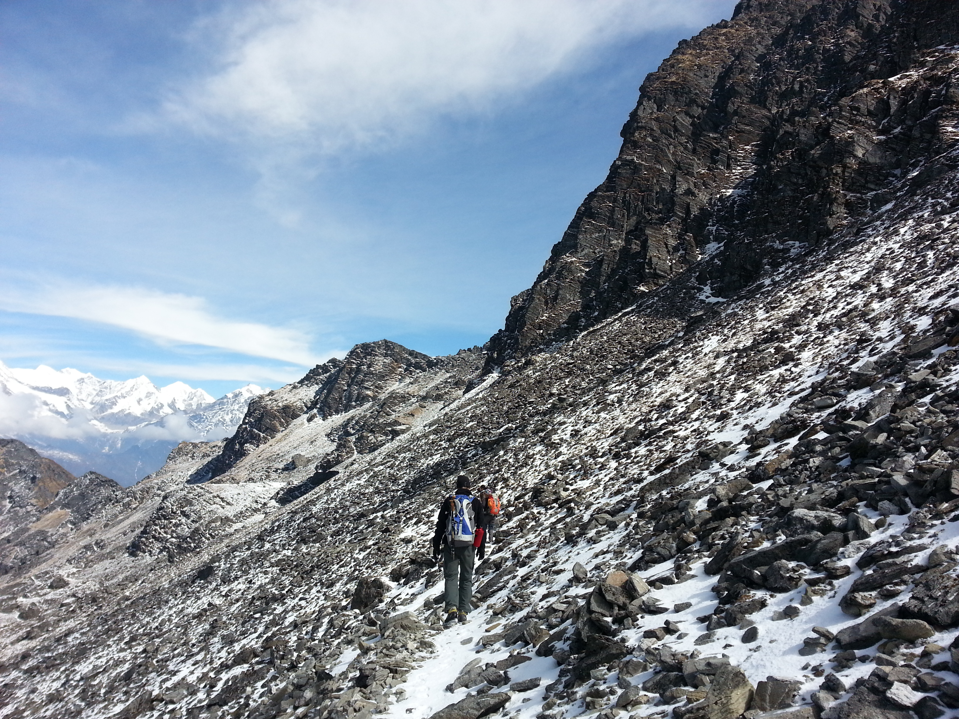
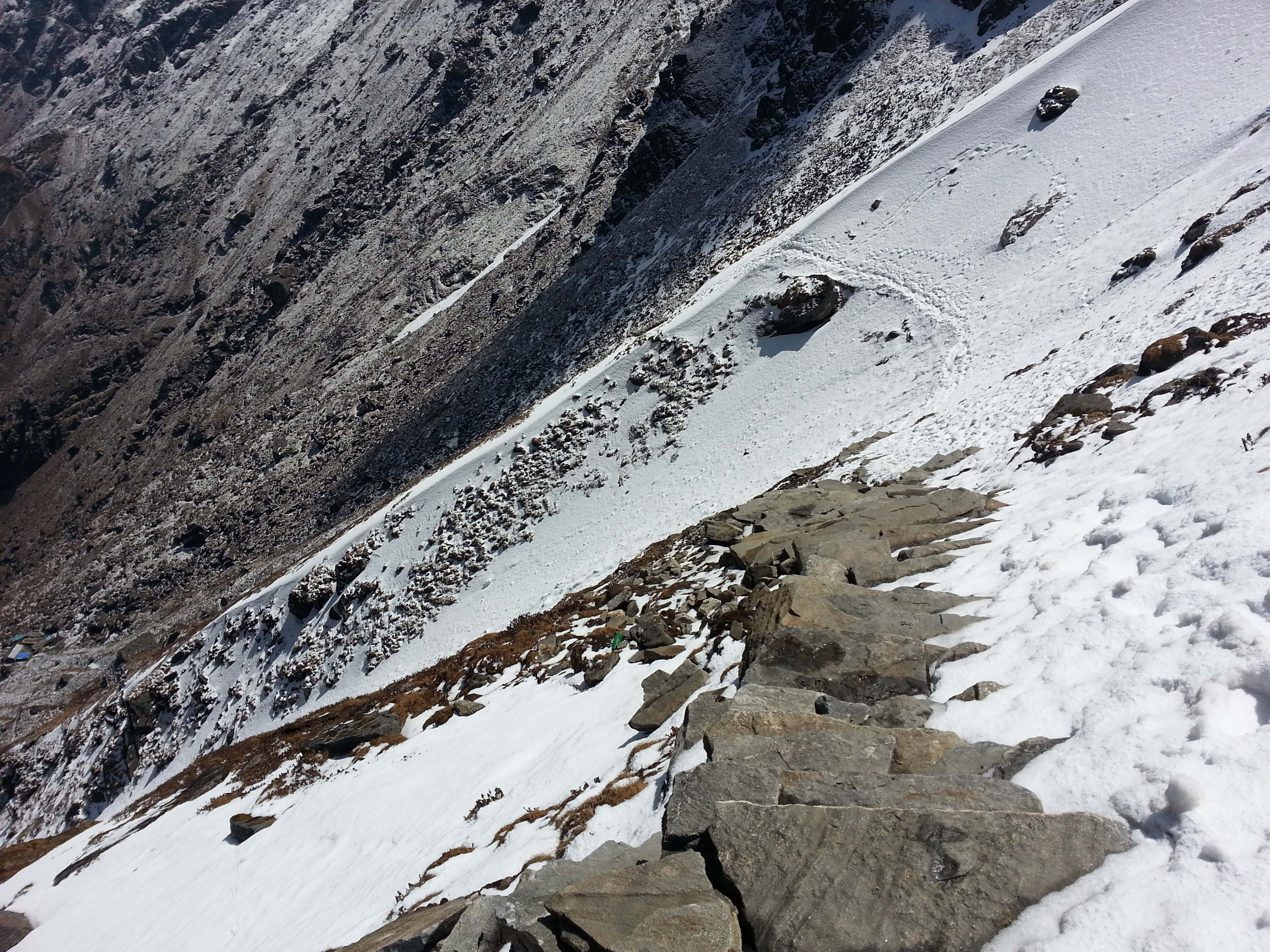
In two days, with one overnight stop in Thame, we reached the last “outpost” of civilisation in the Thame Valley: Lungden, at 4,370 m. An unplanned acclimatisation day became necessary when I began suffering mild altitude-sickness symptoms – loss of appetite and headaches. This was a reminder that at altitude you can’t force anything. By the following morning everything was fine again, and we were able to tackle the Renjo La Pass at 5,340 m. Around midday we reached the pass and were treated to a truly awe-inspiring panorama of Everest, Nuptse, Lhotse, Makalu, Kangchungtse, Pumori, Changtse and many other famous peaks.

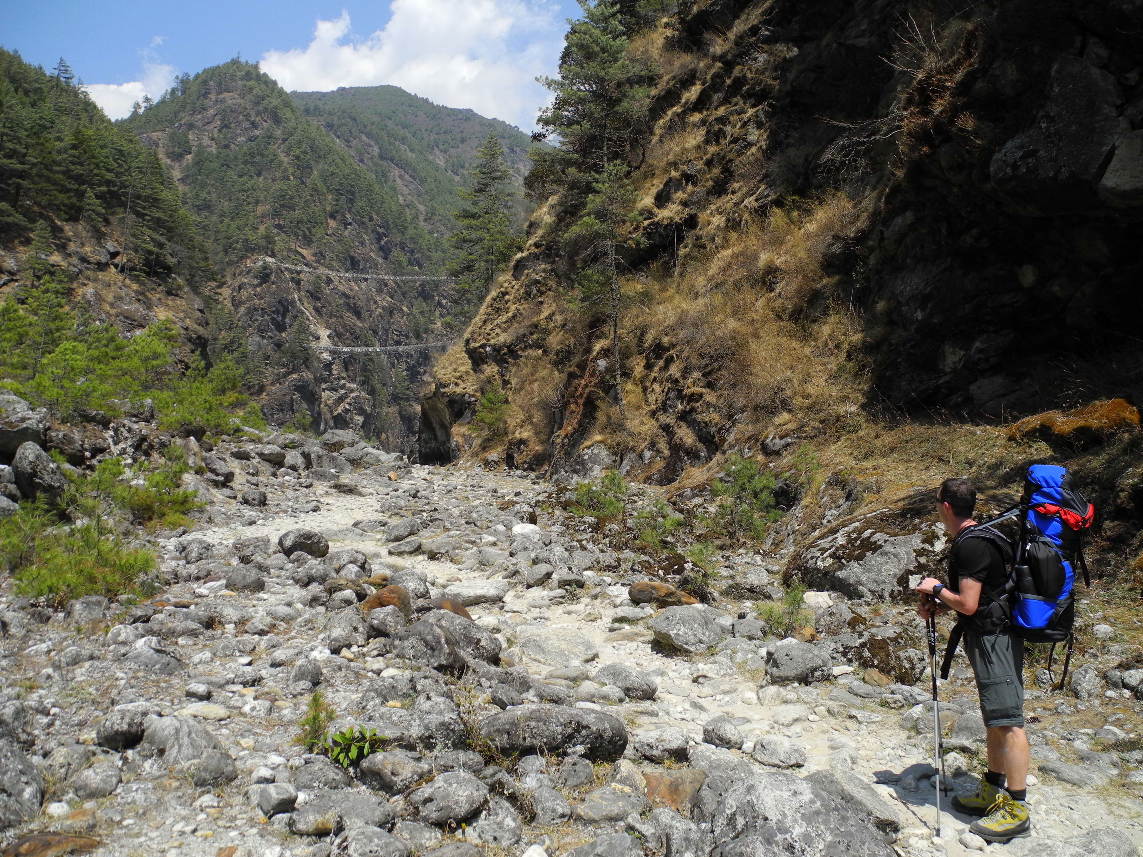
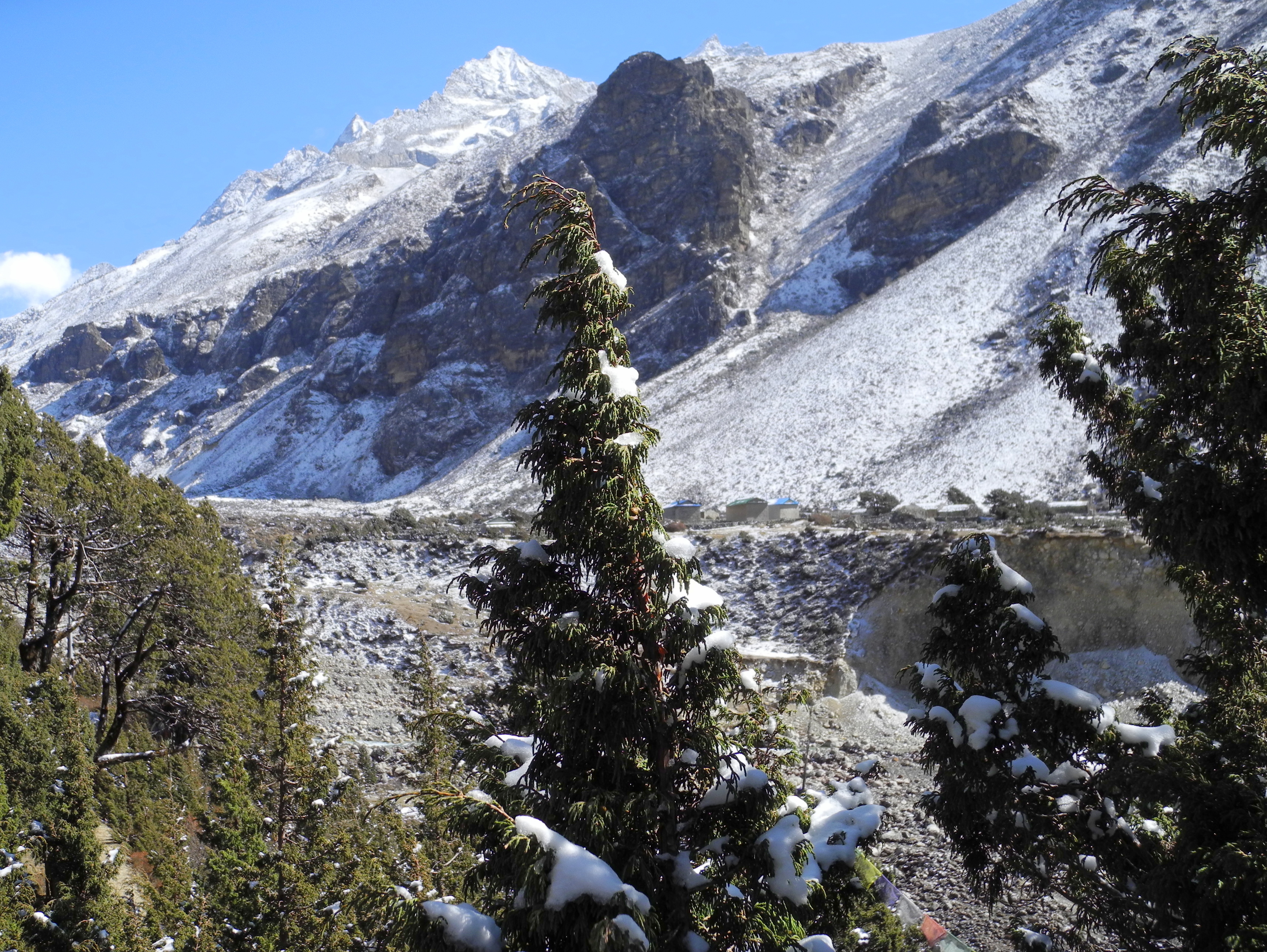
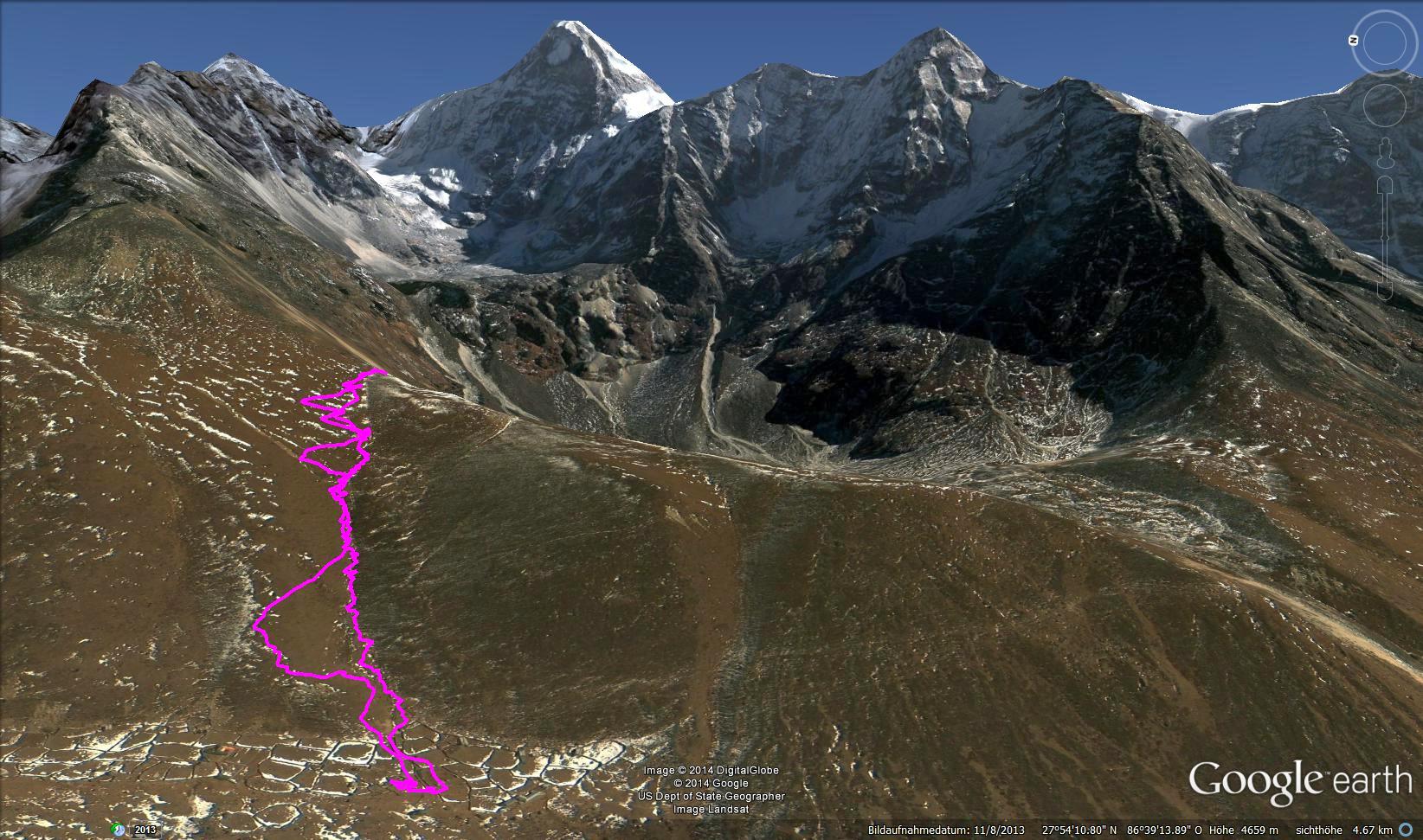
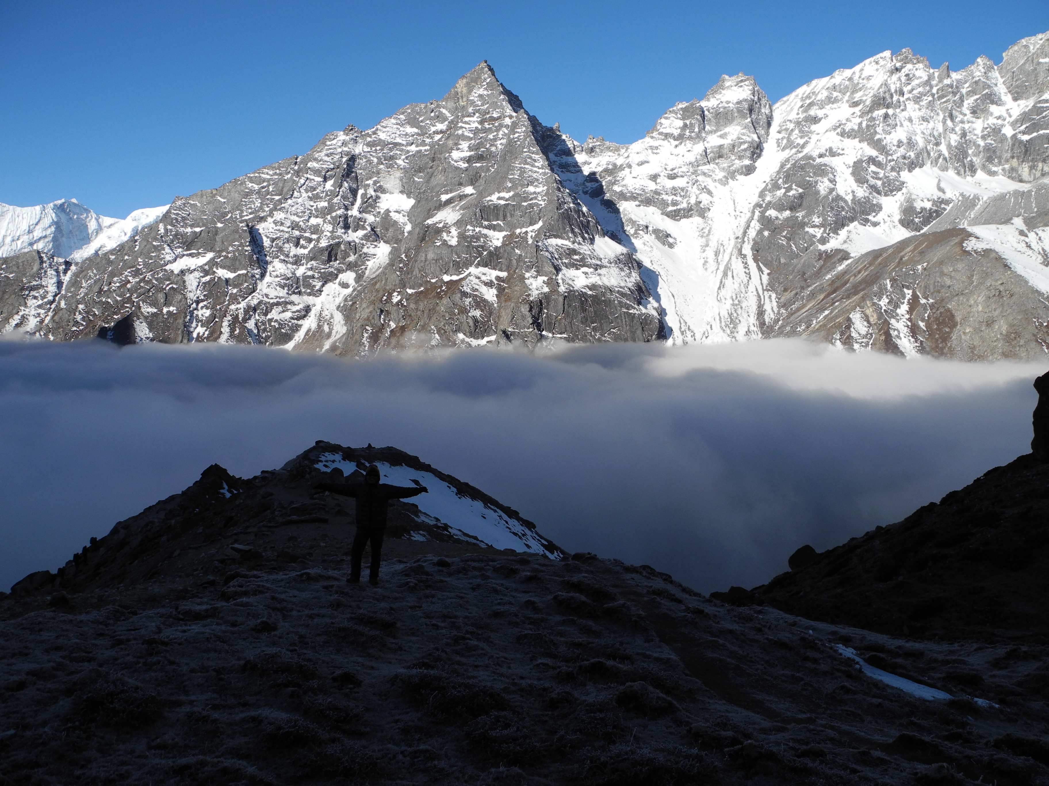
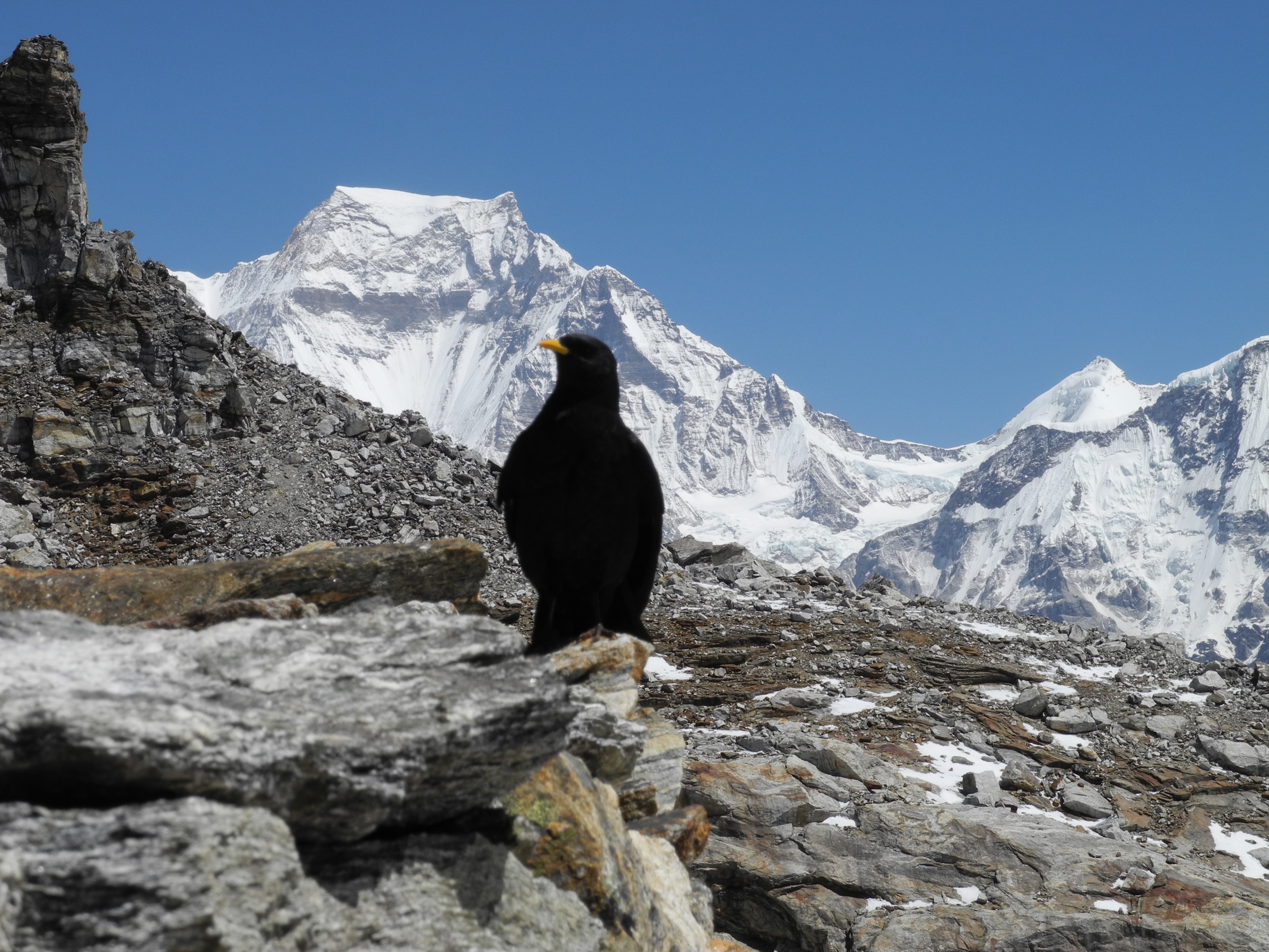
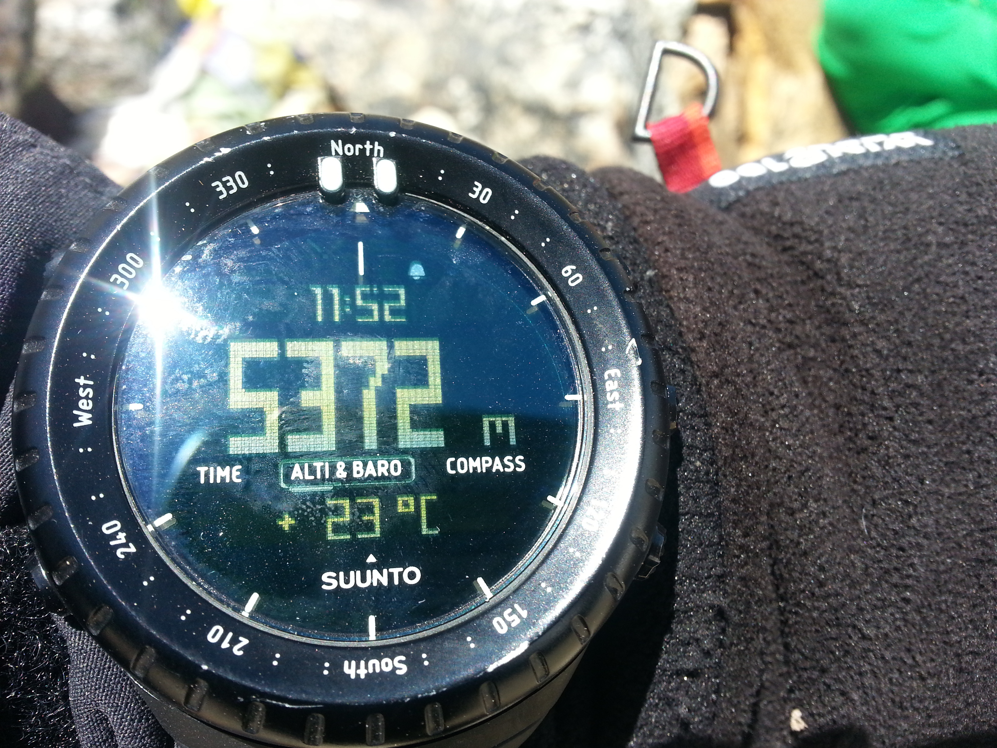
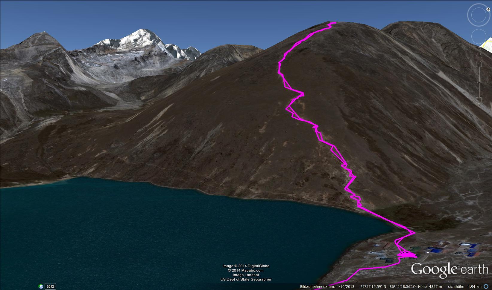
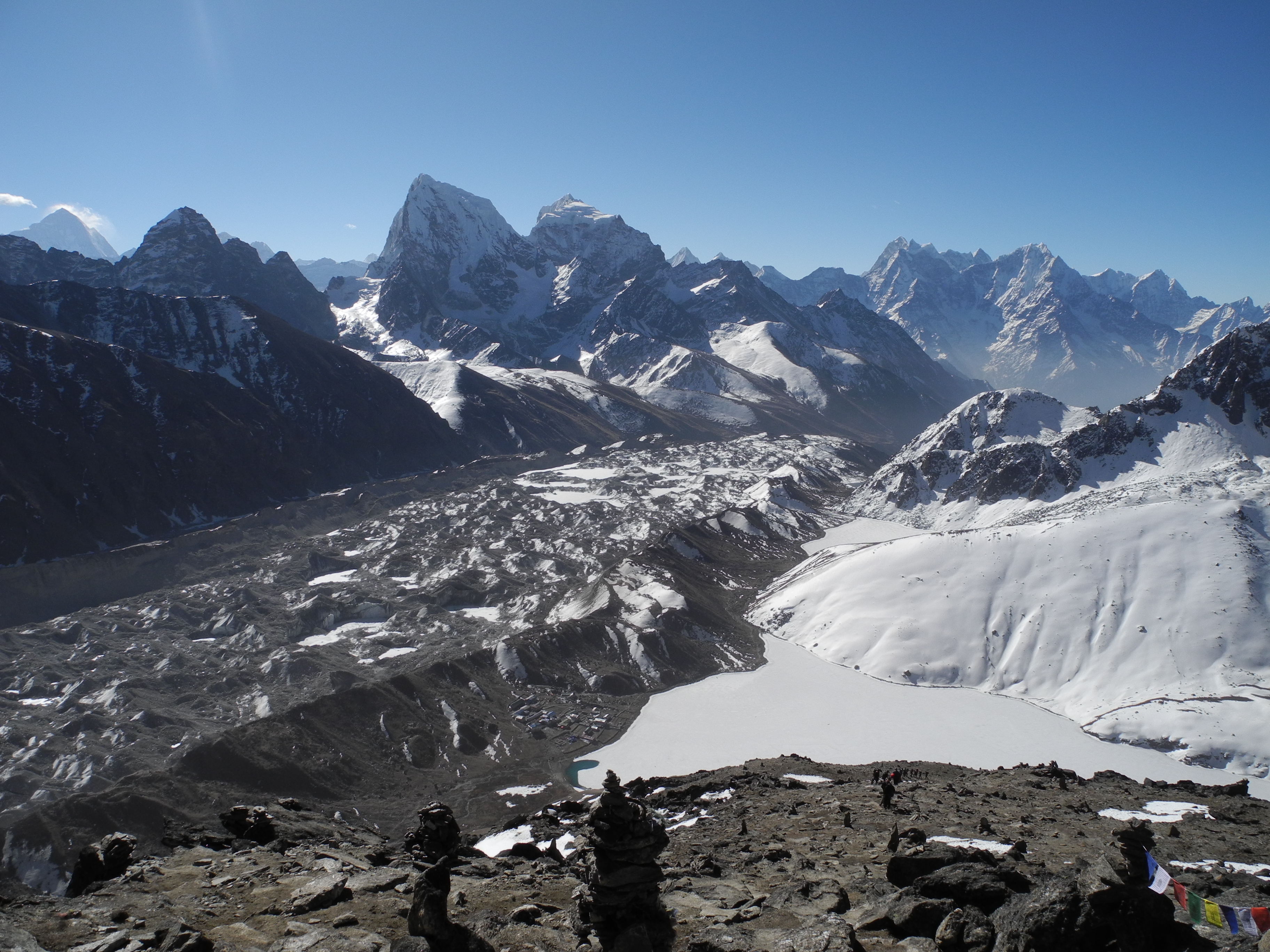
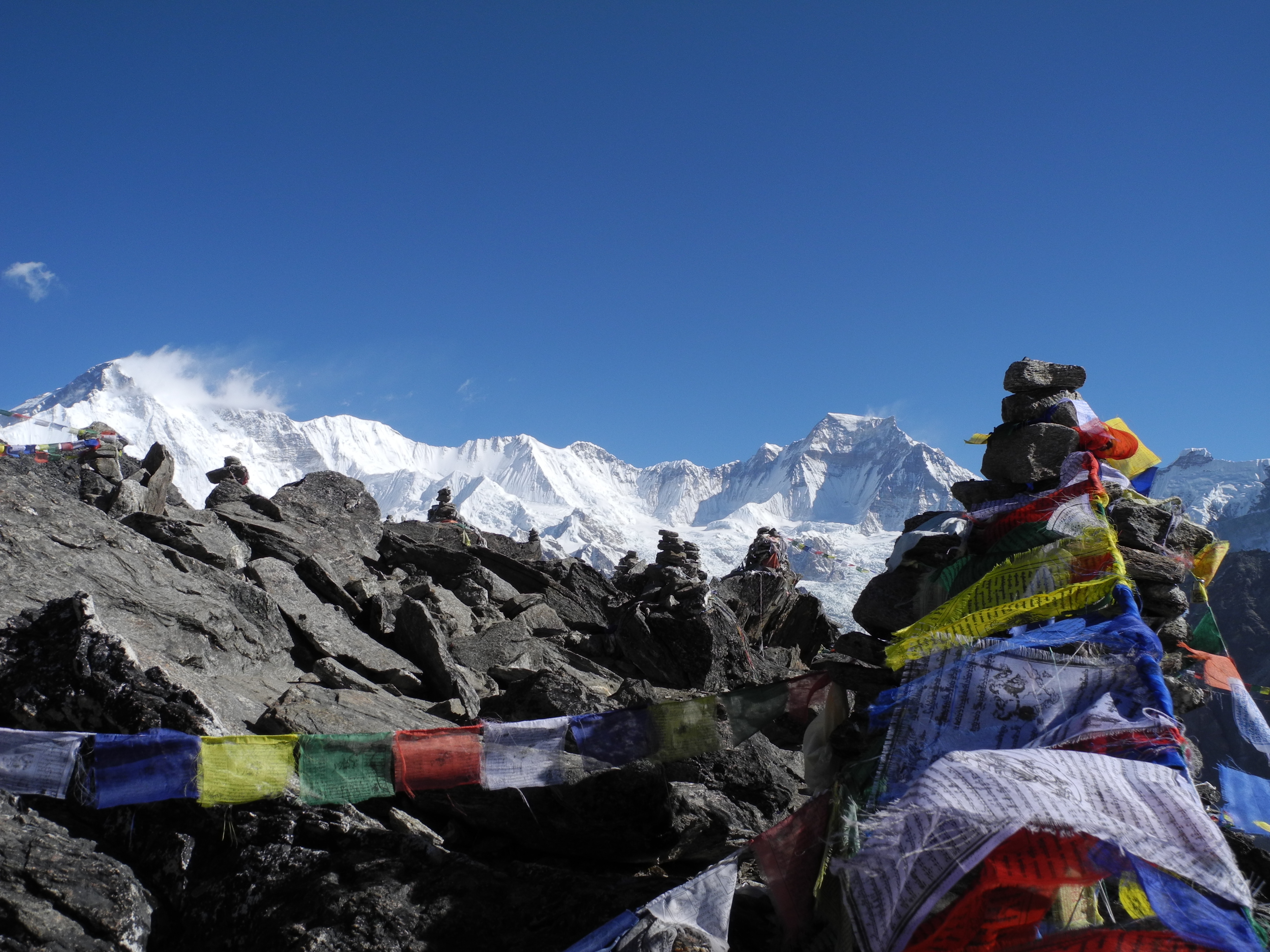
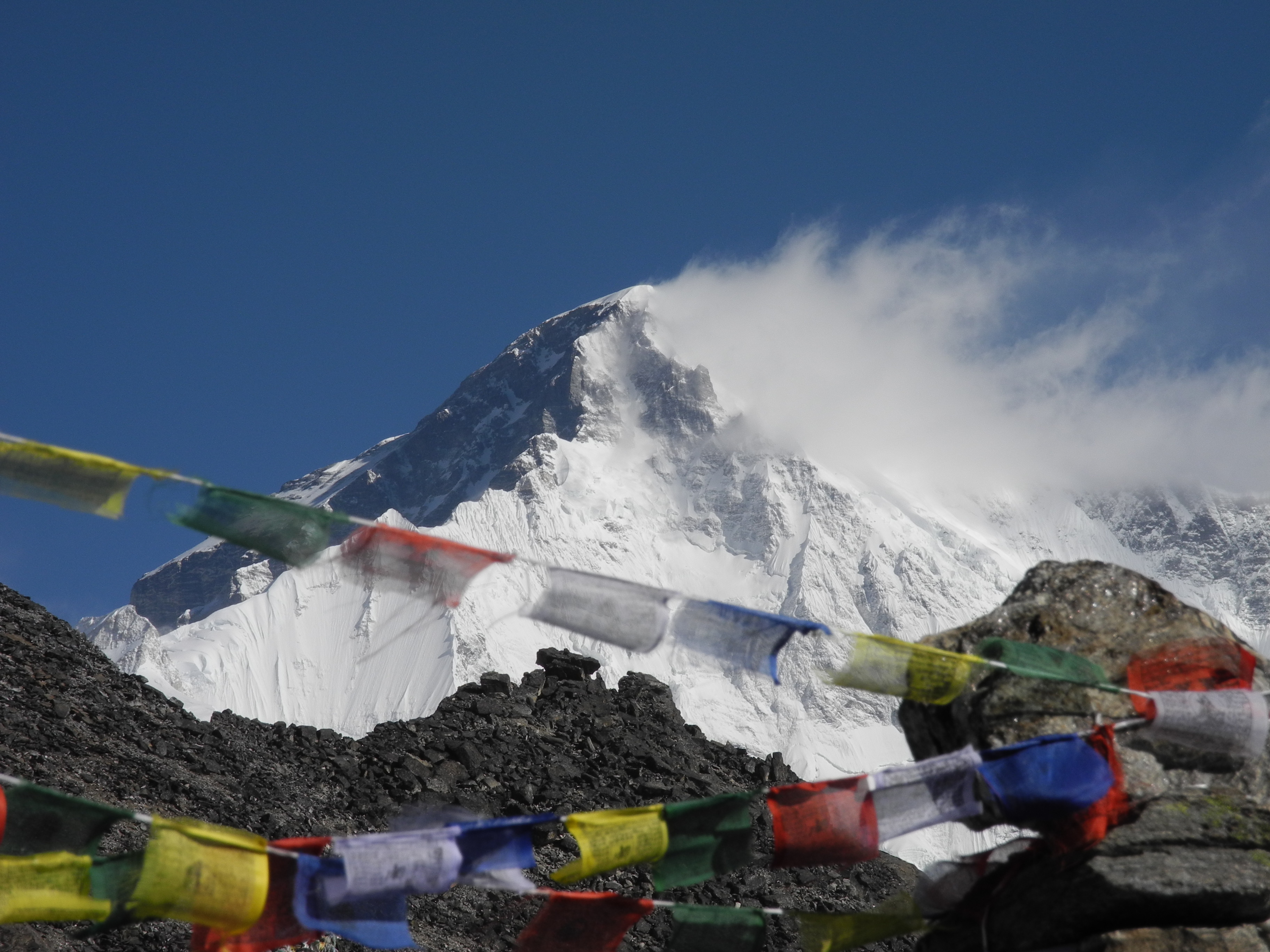
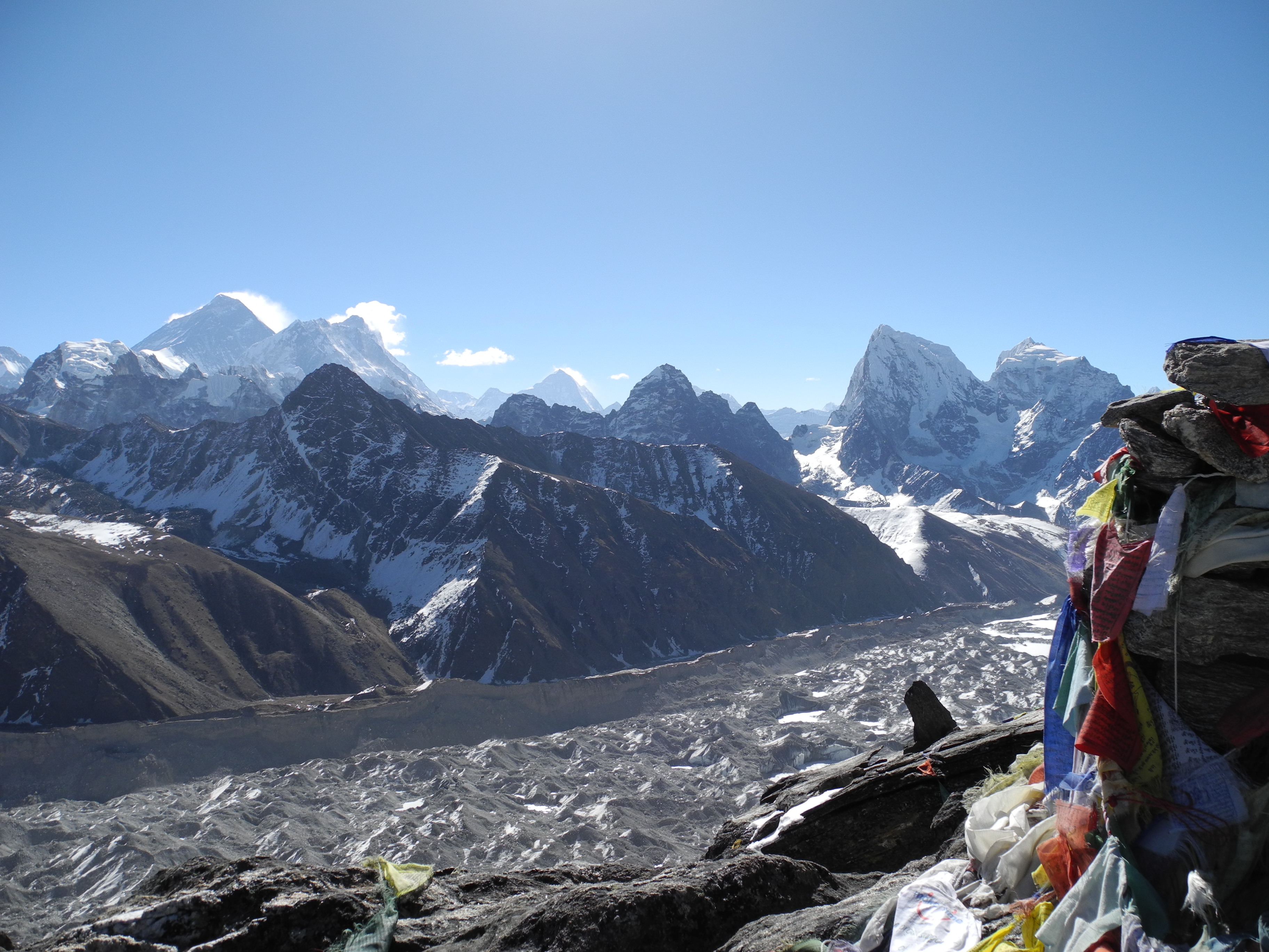
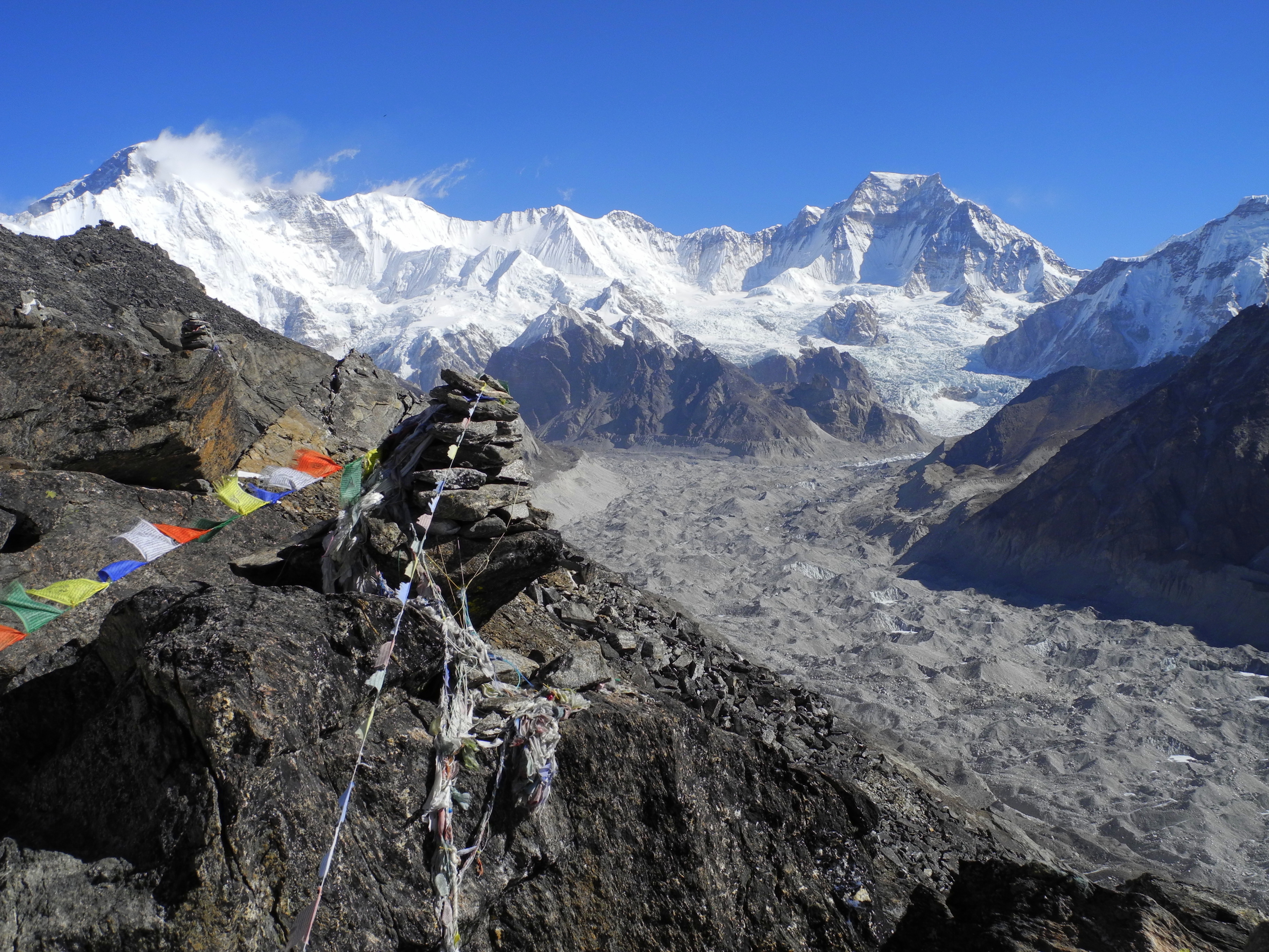
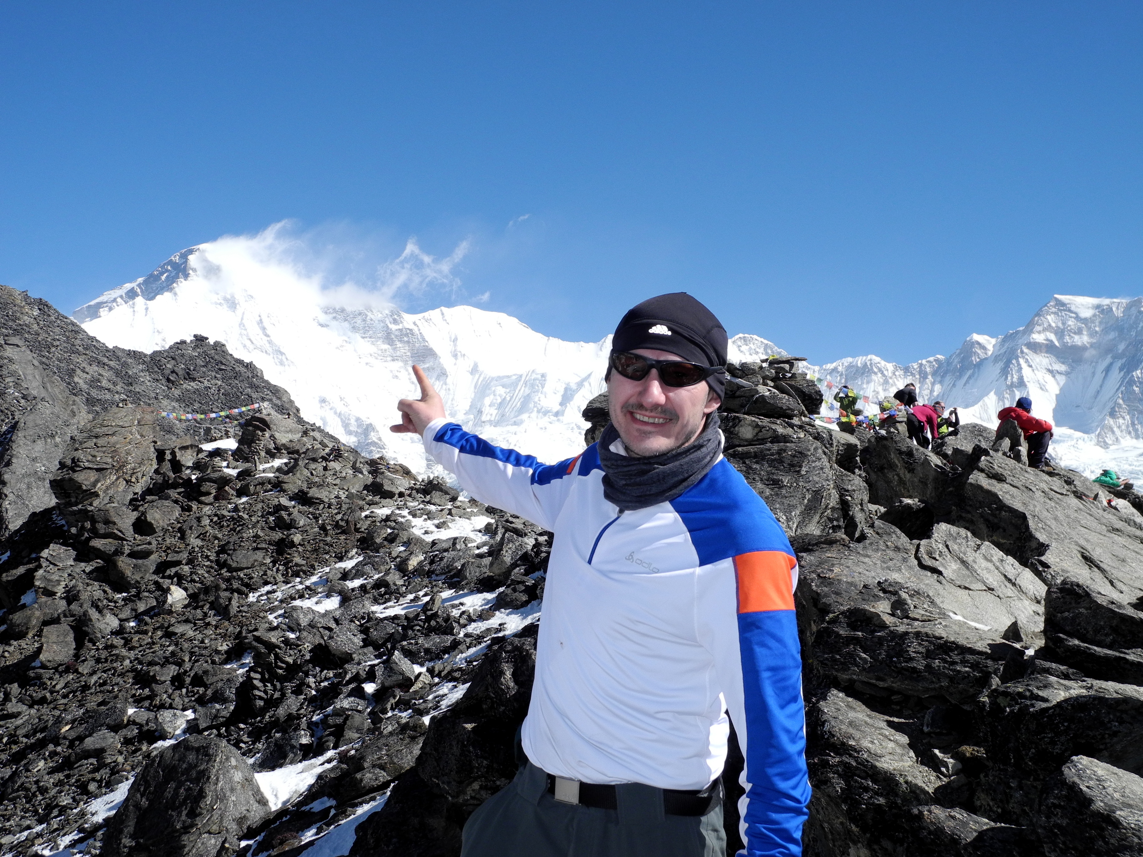
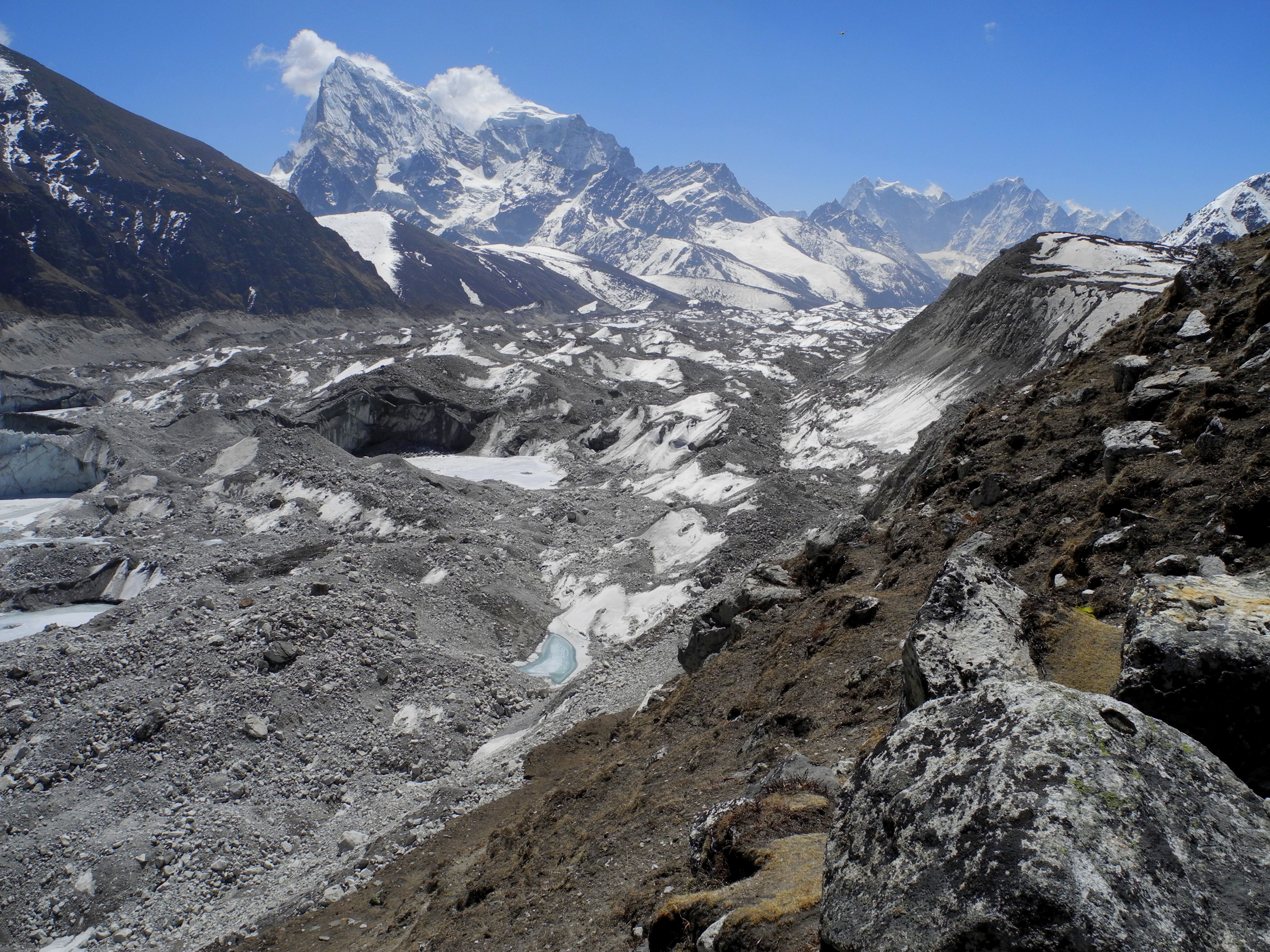
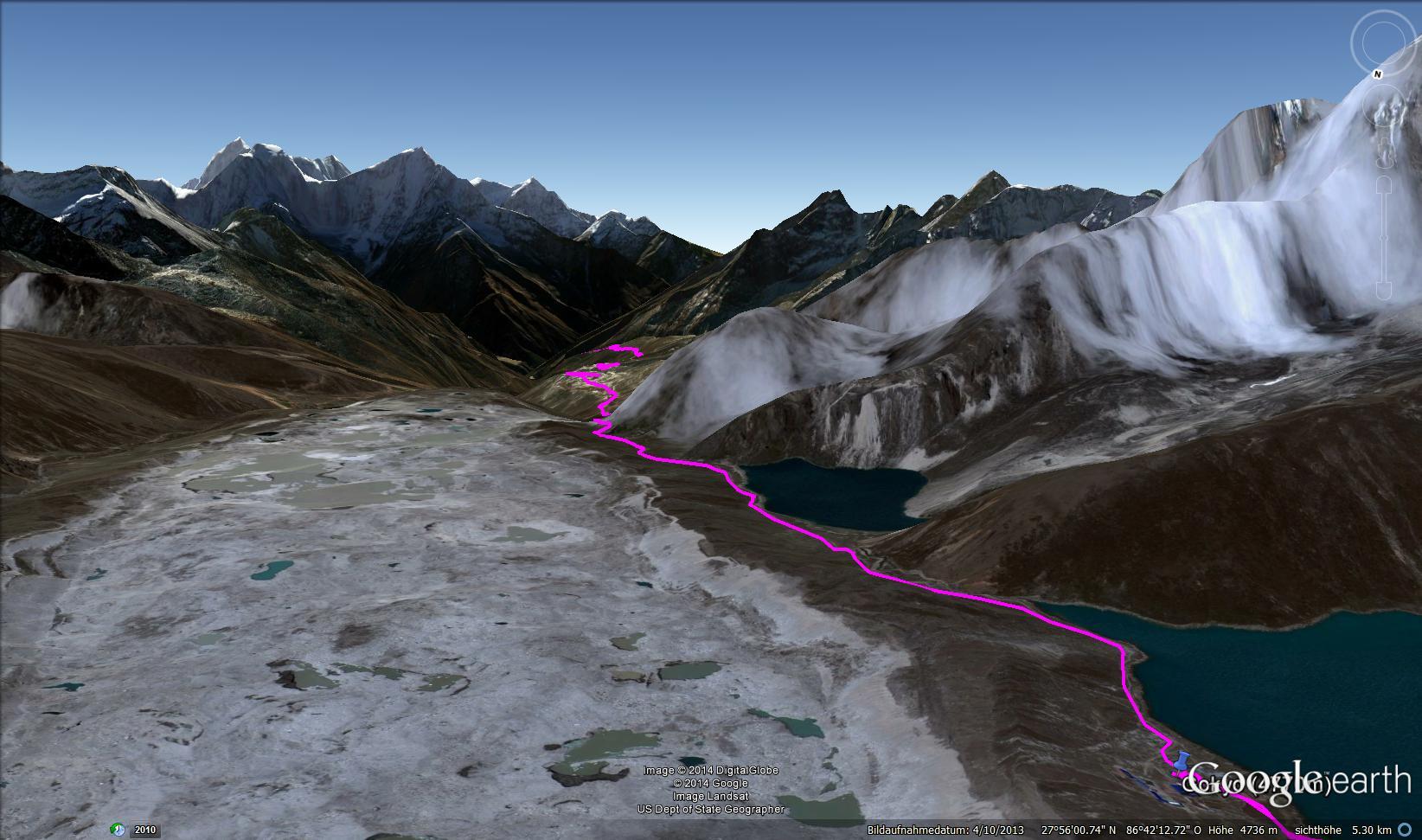
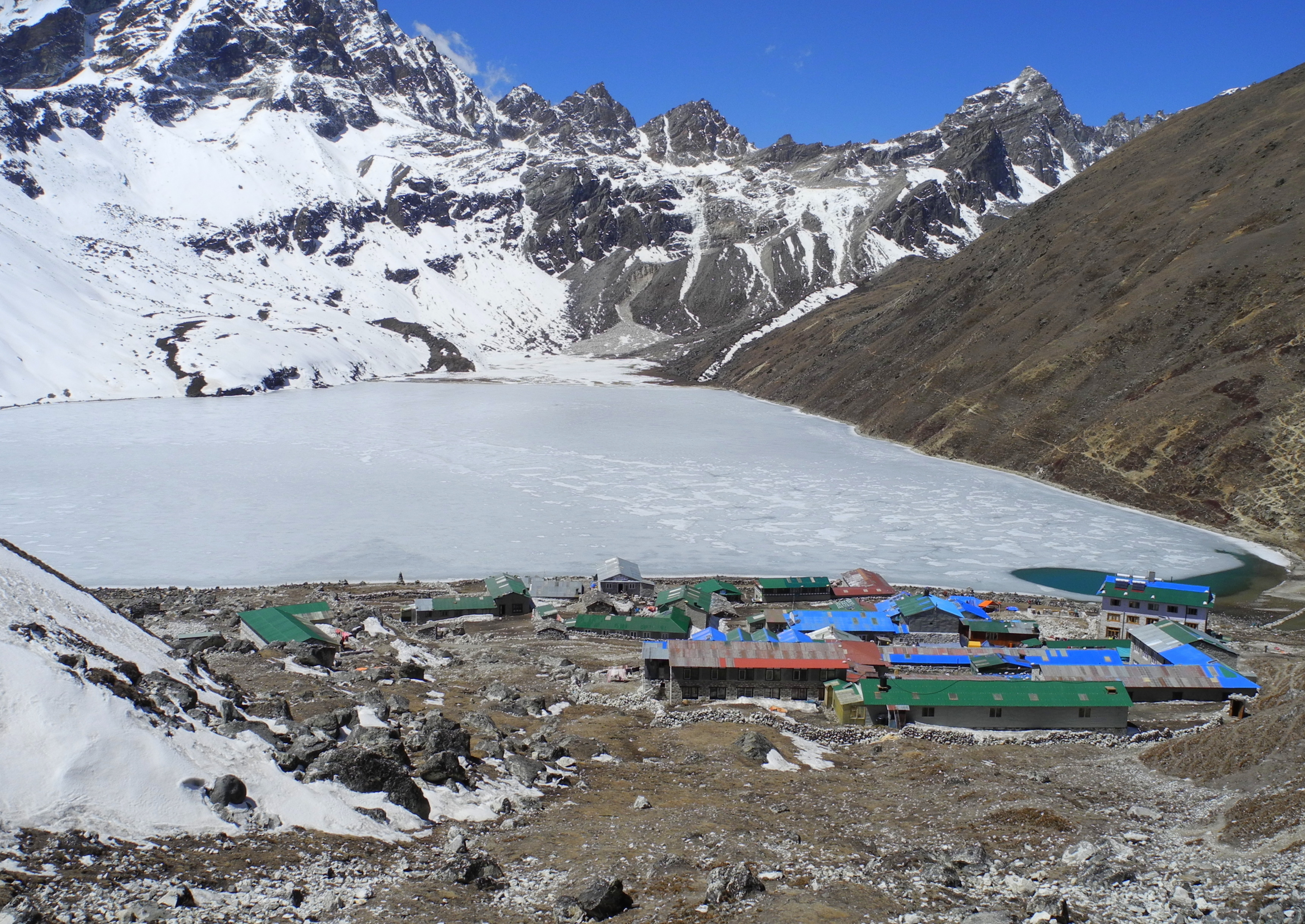
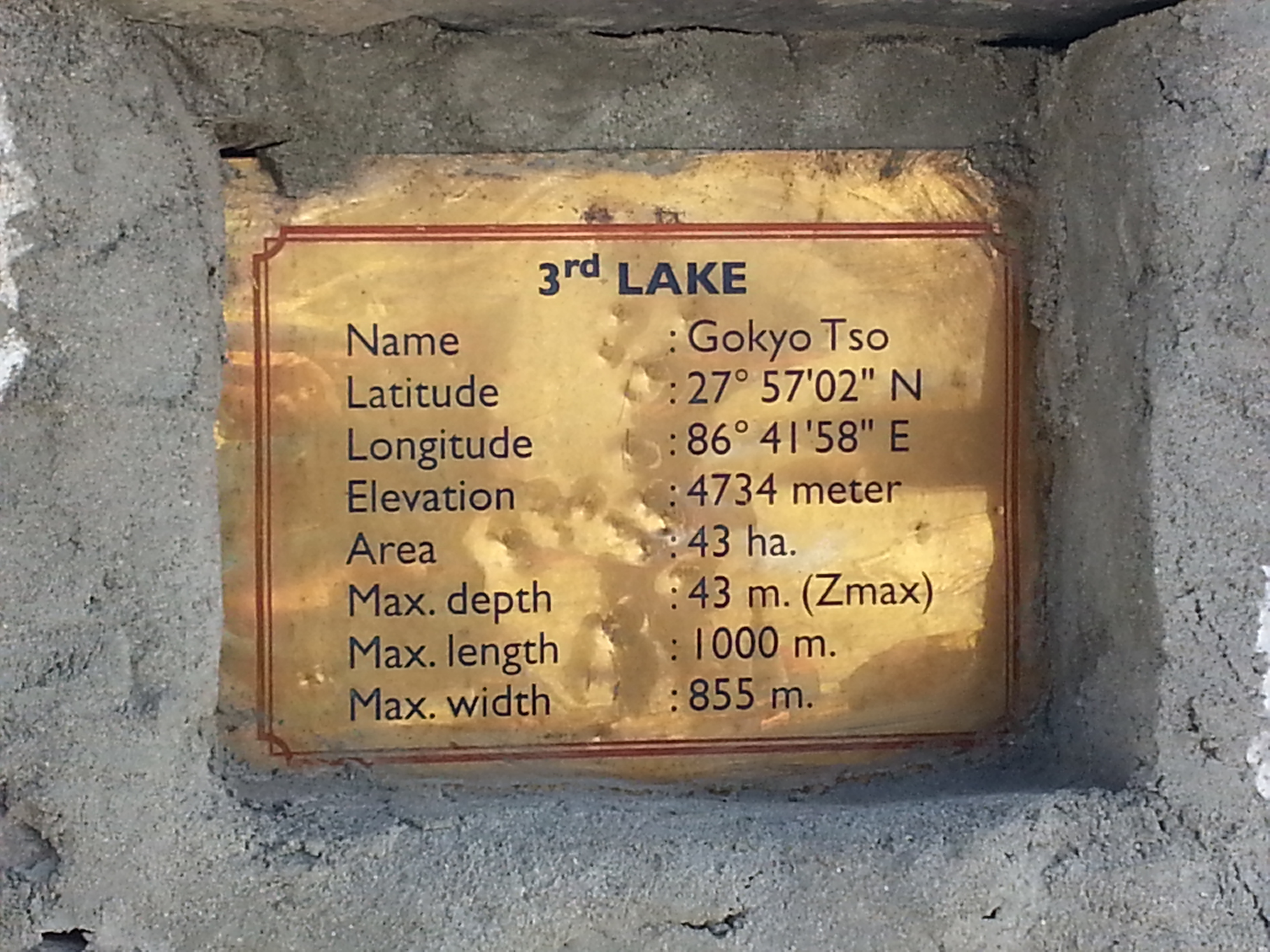
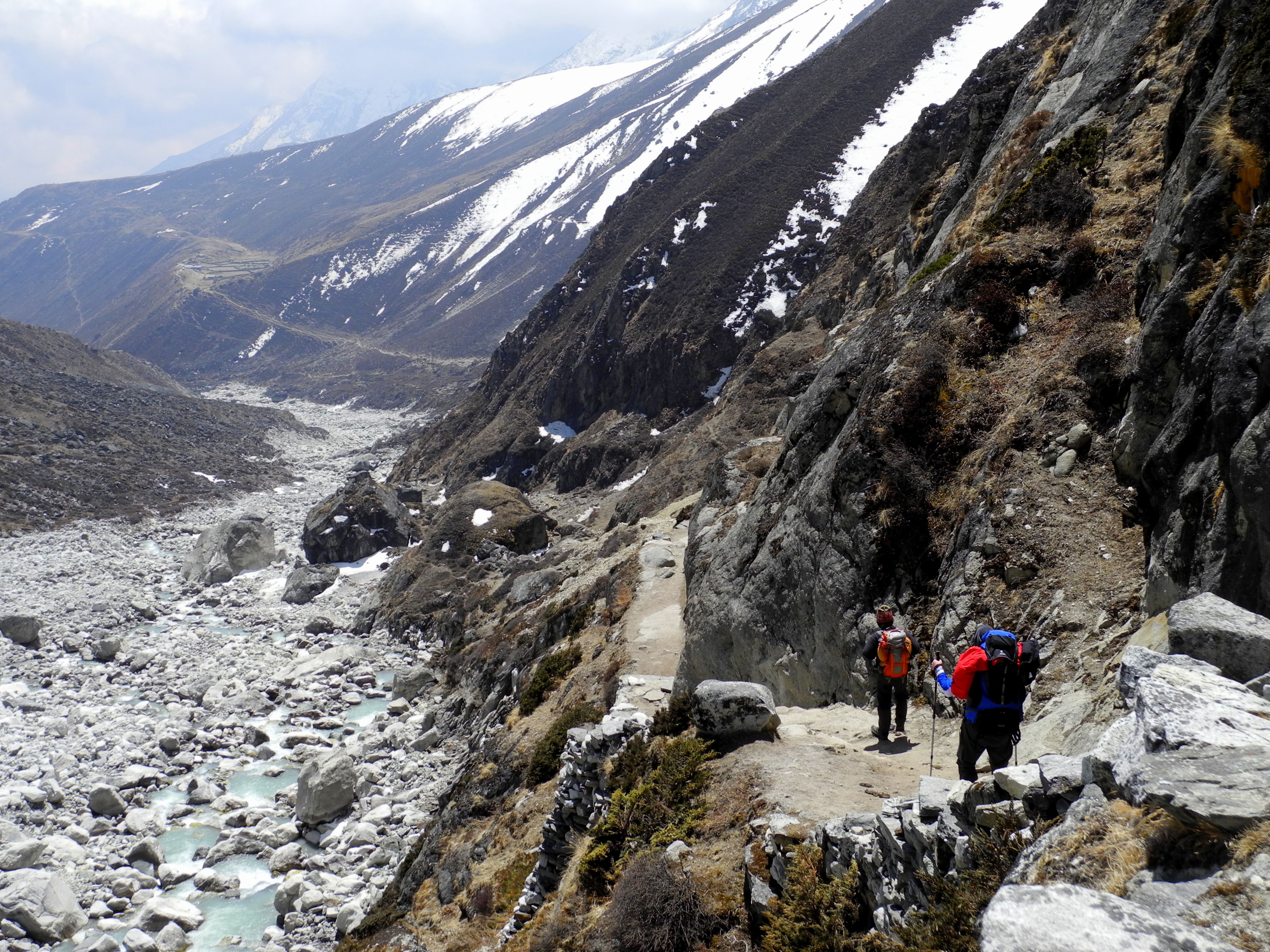
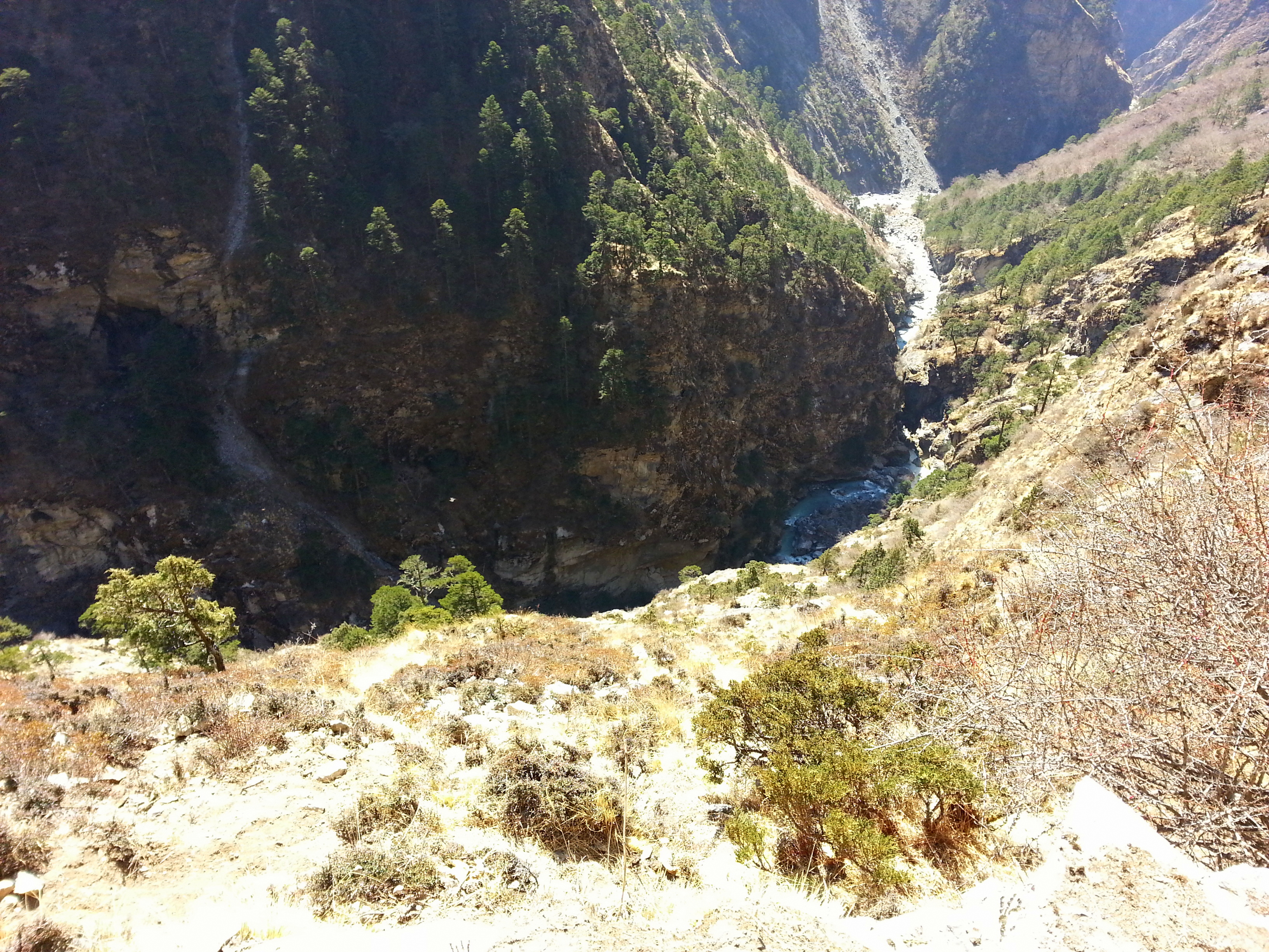
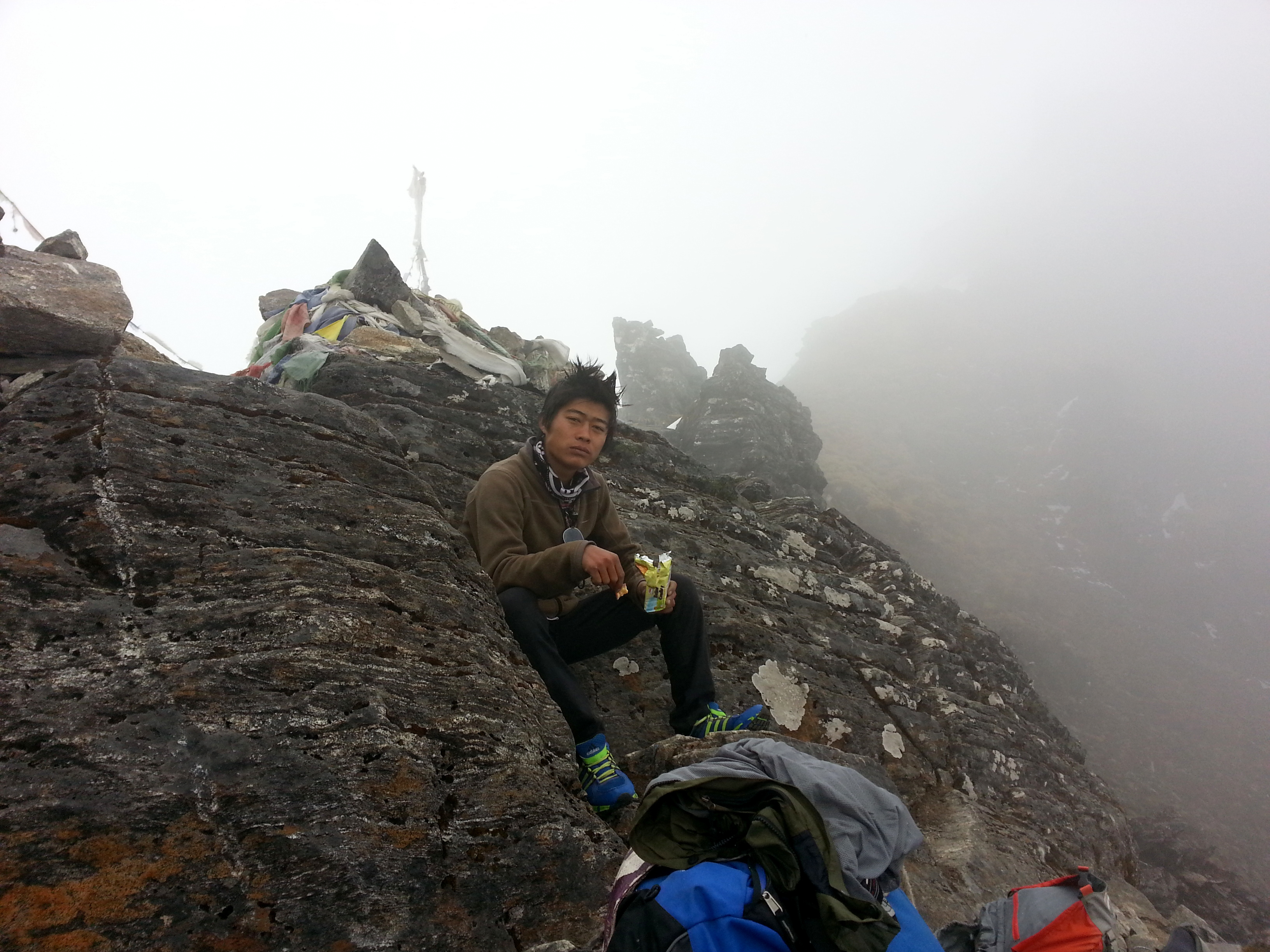
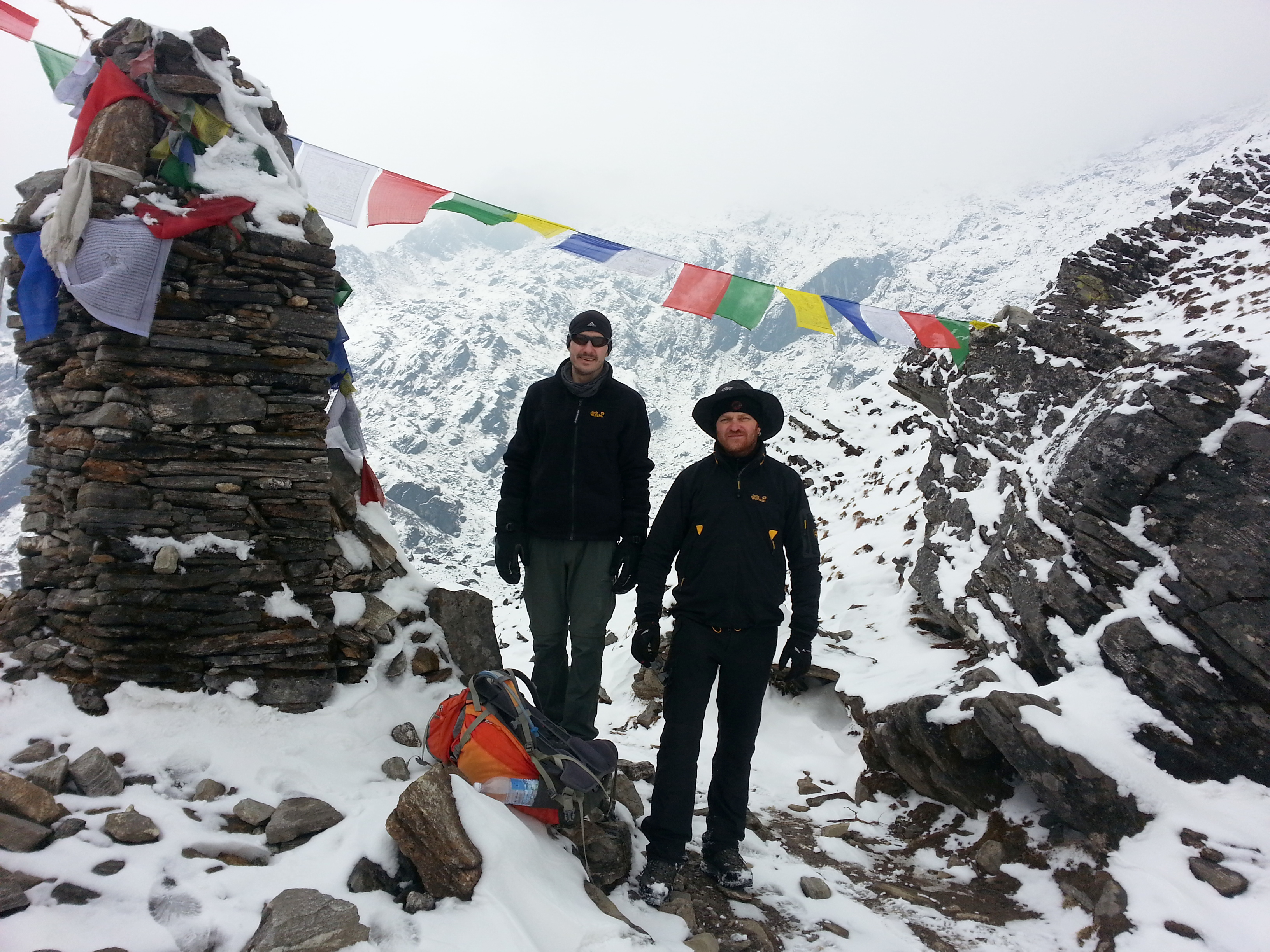
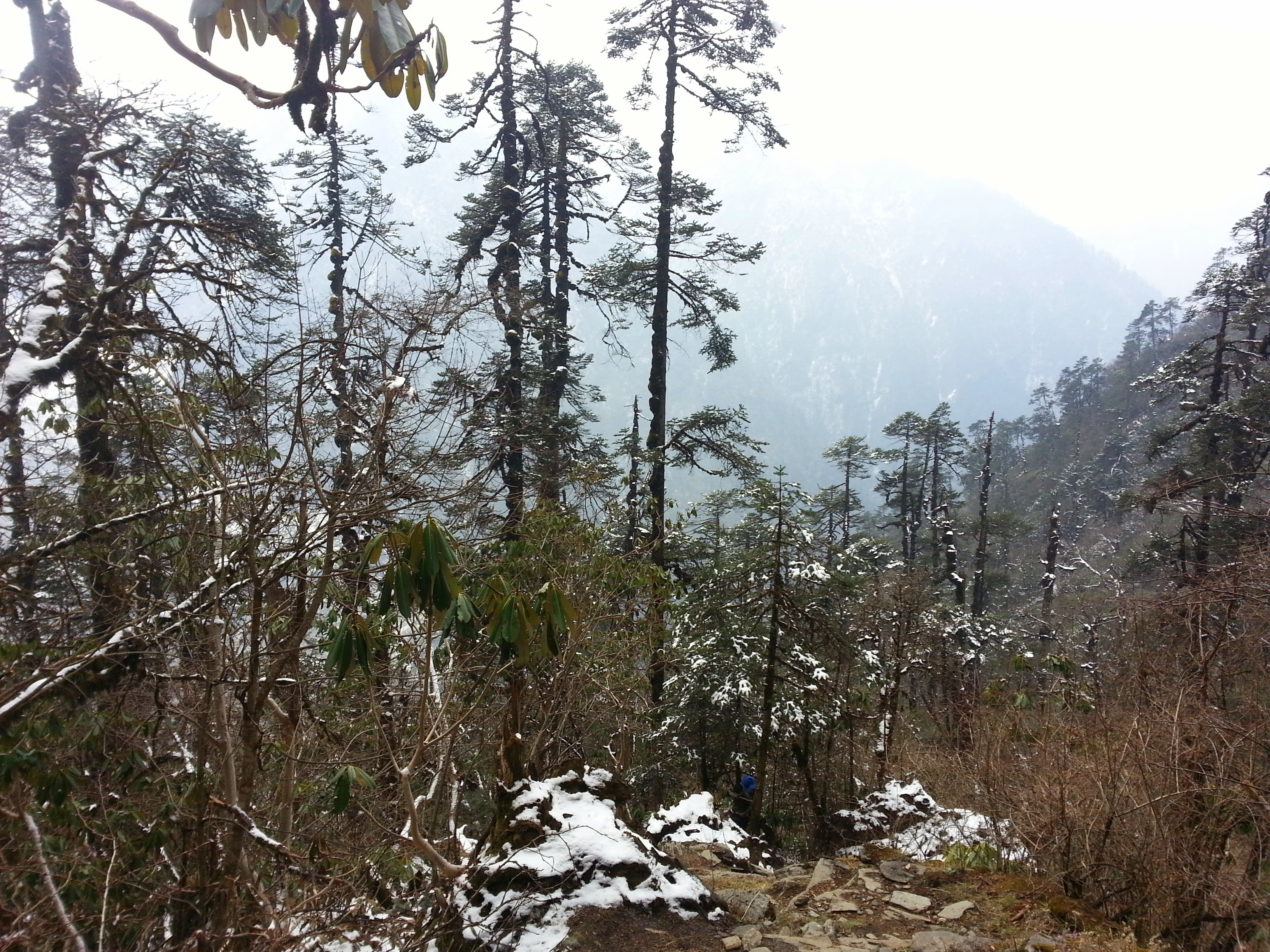
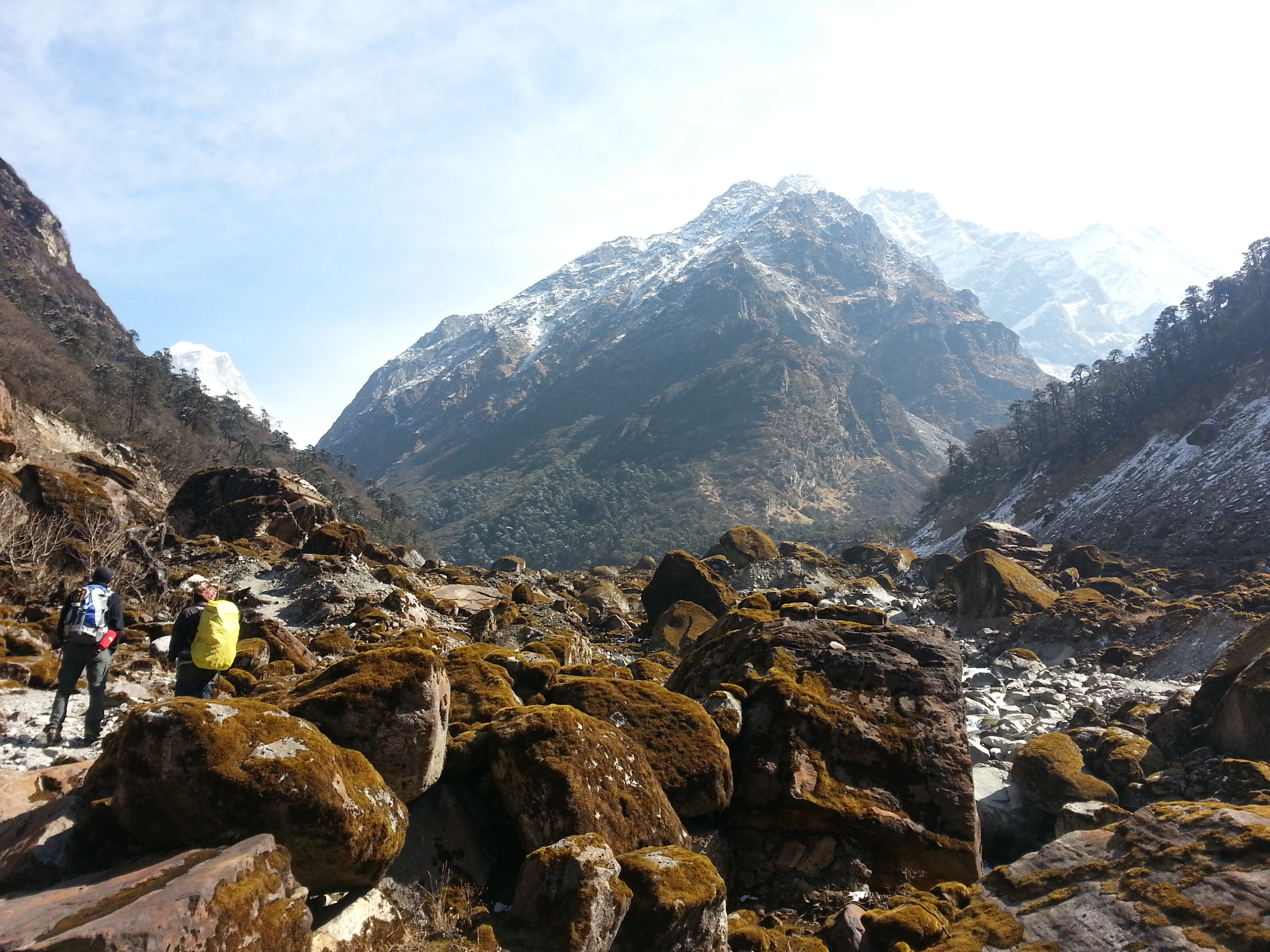
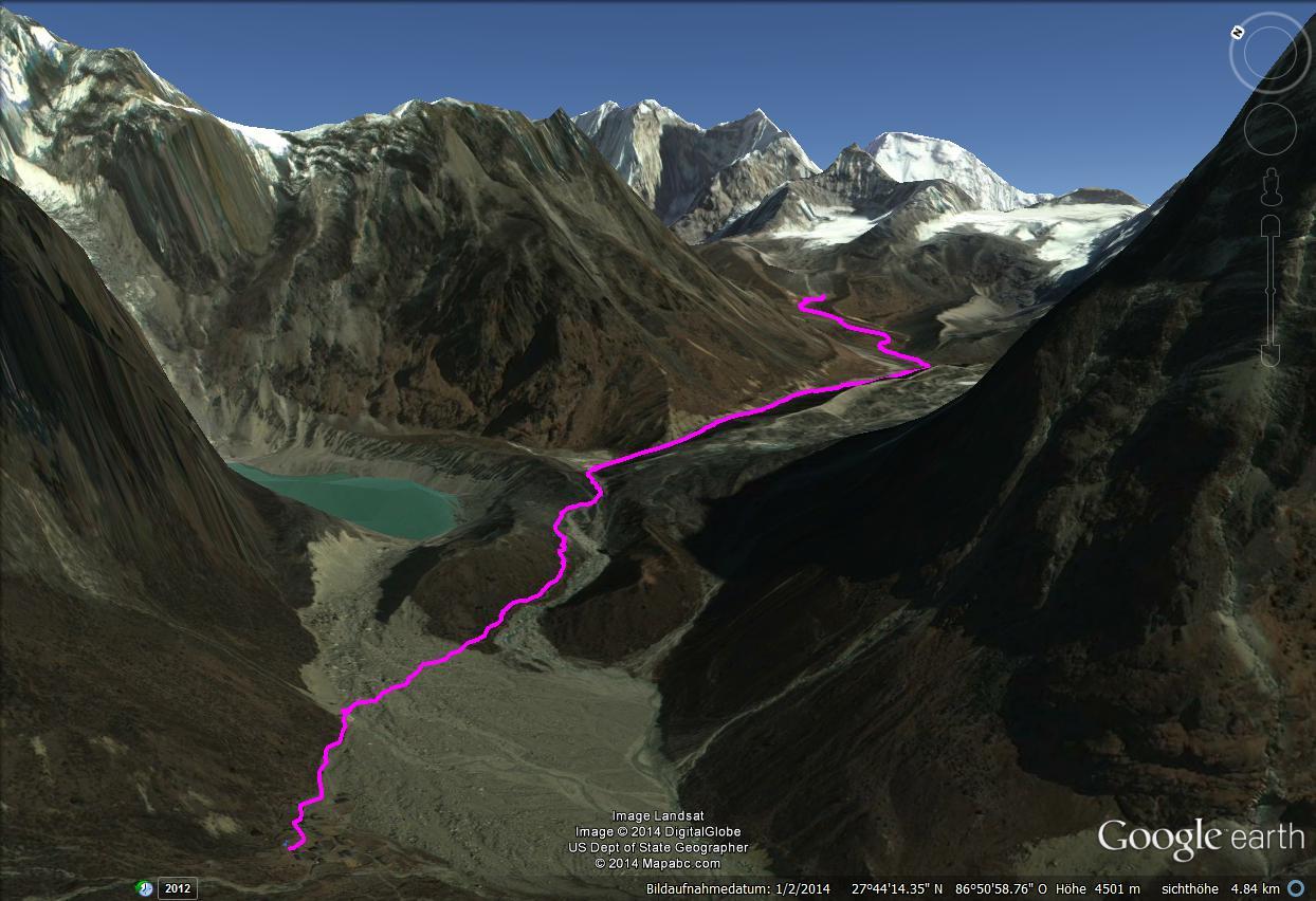
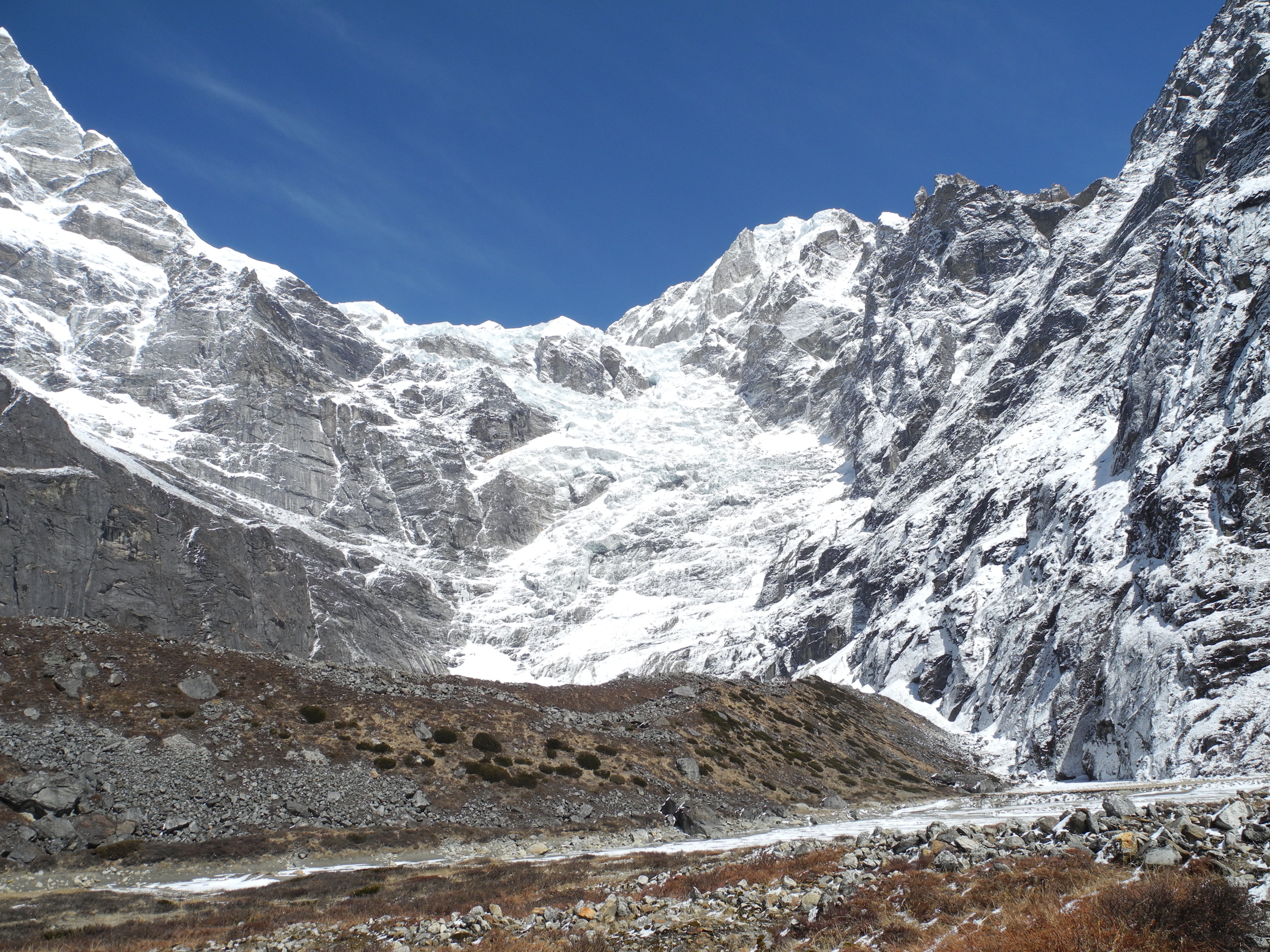
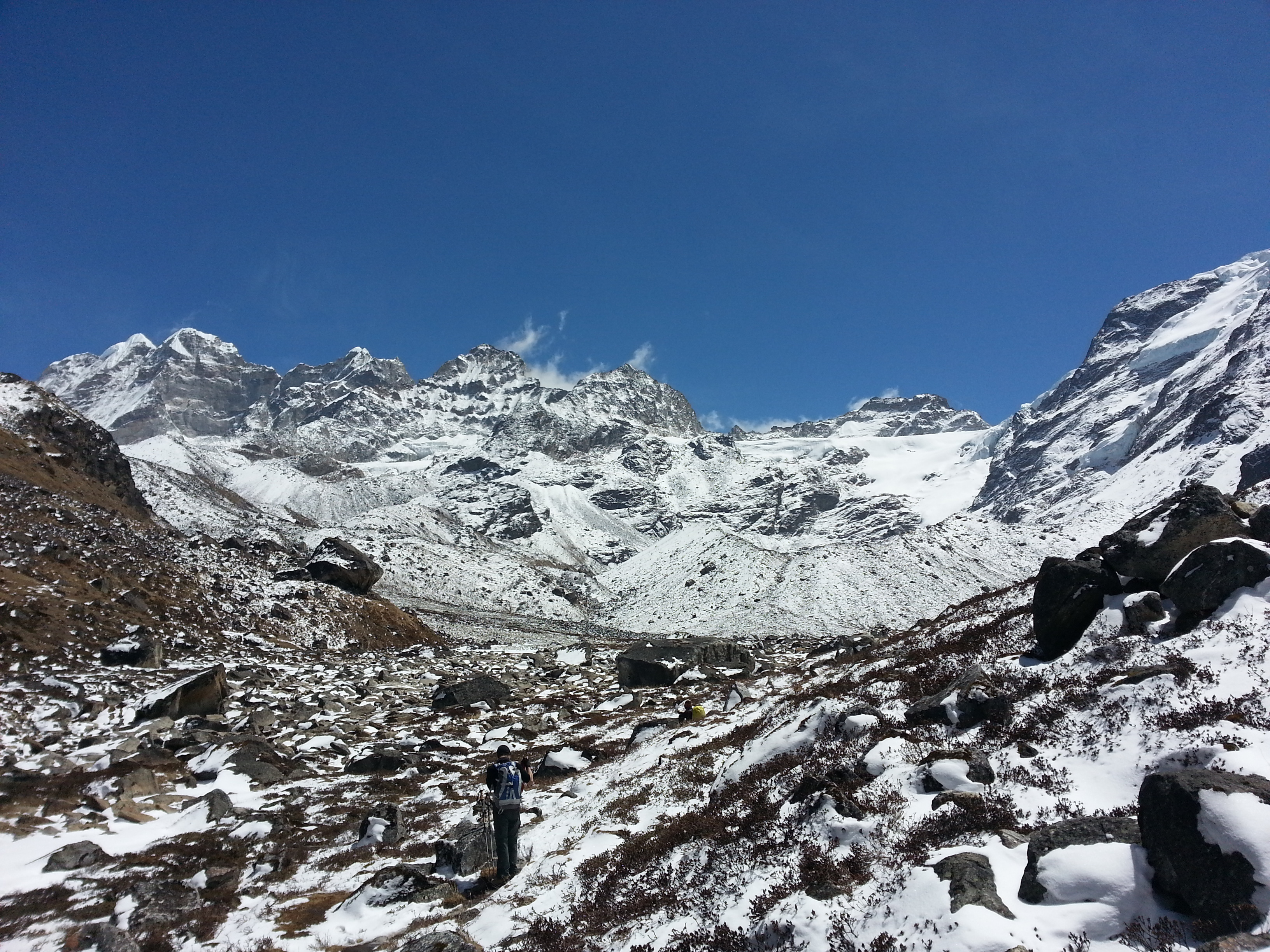
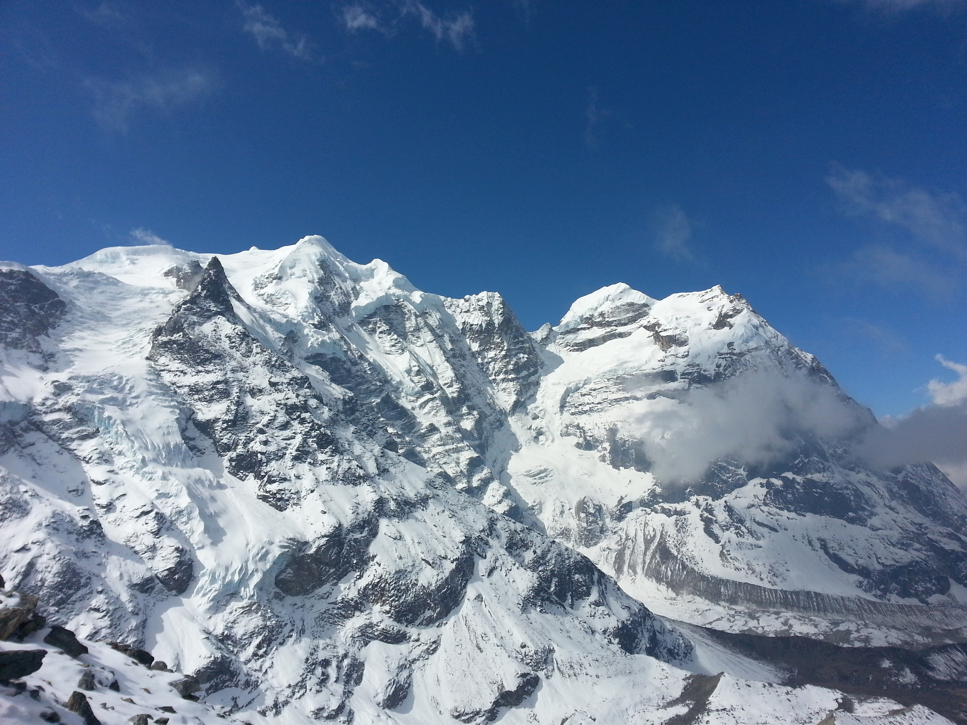
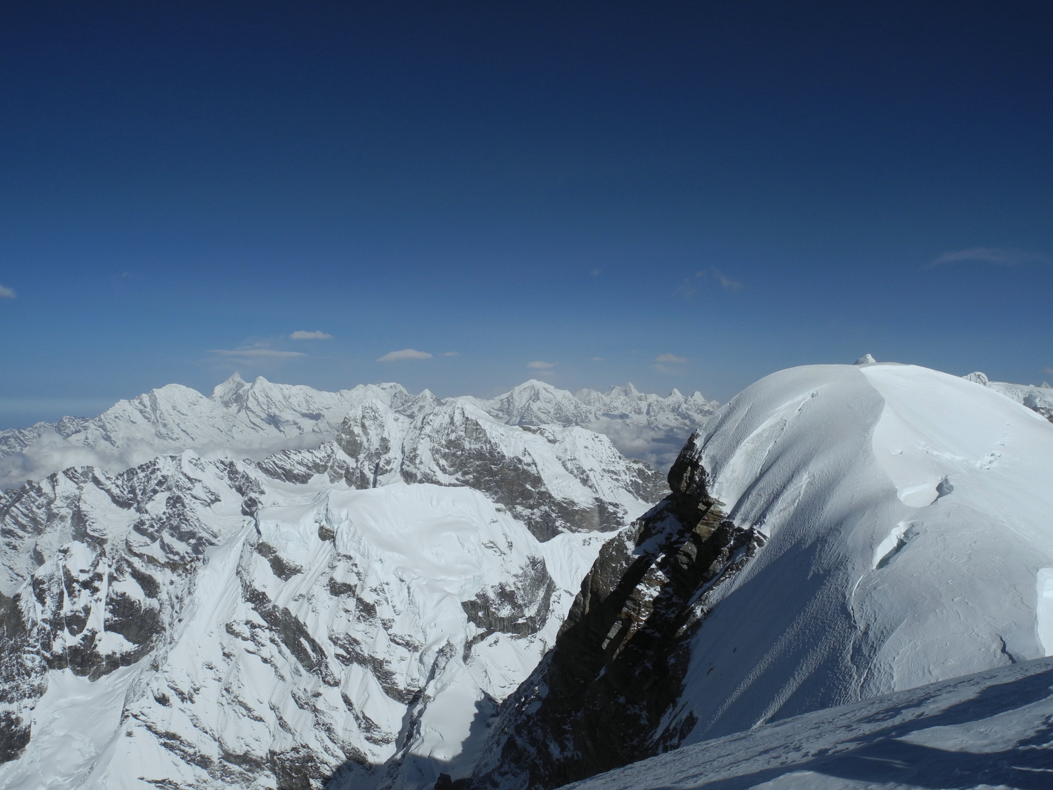
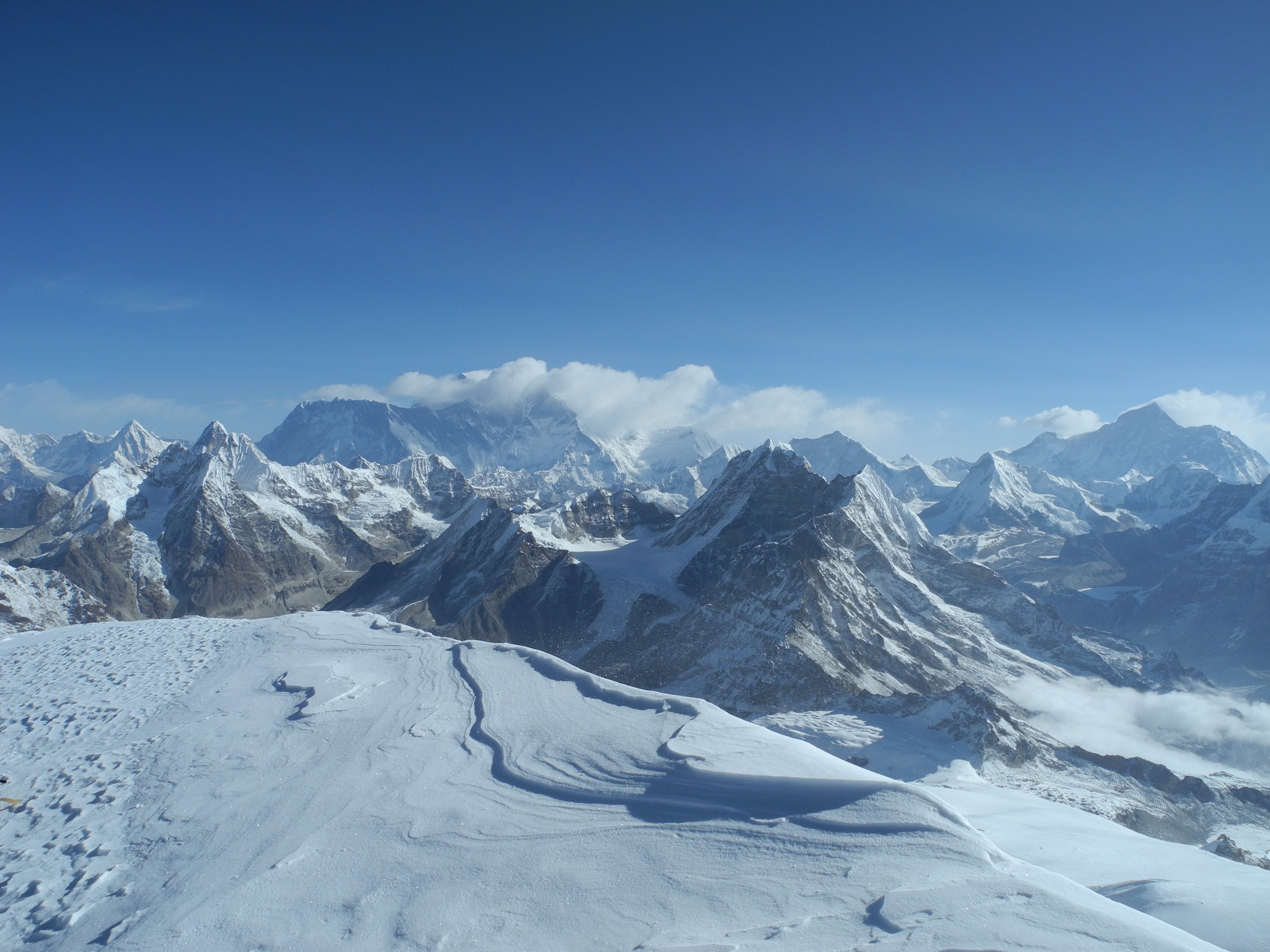
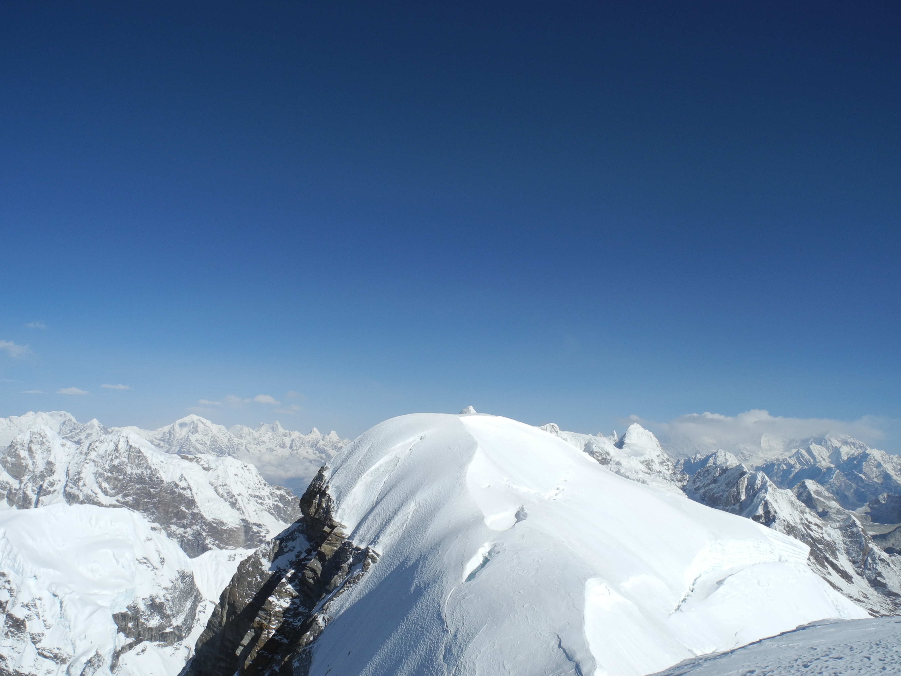
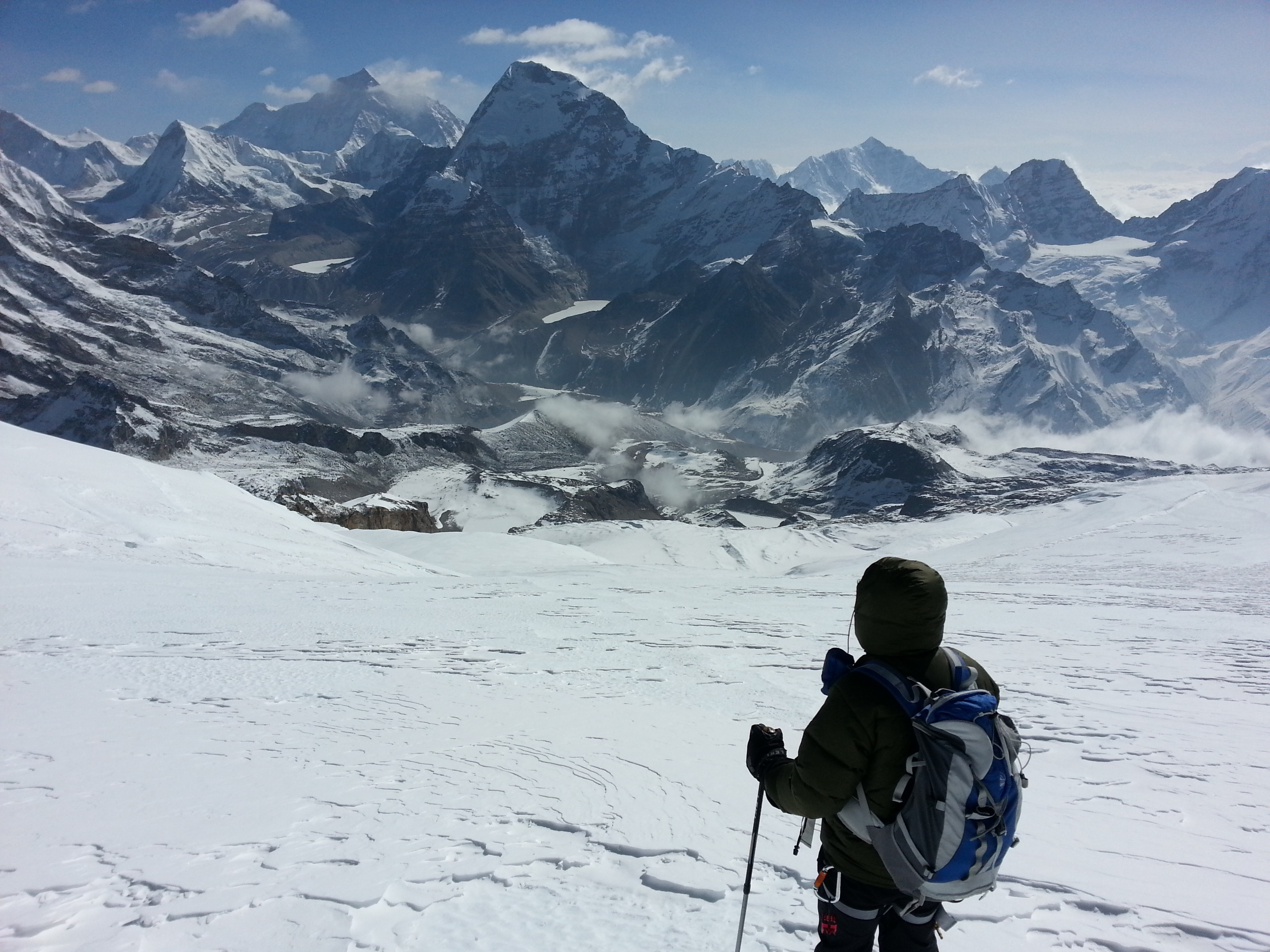
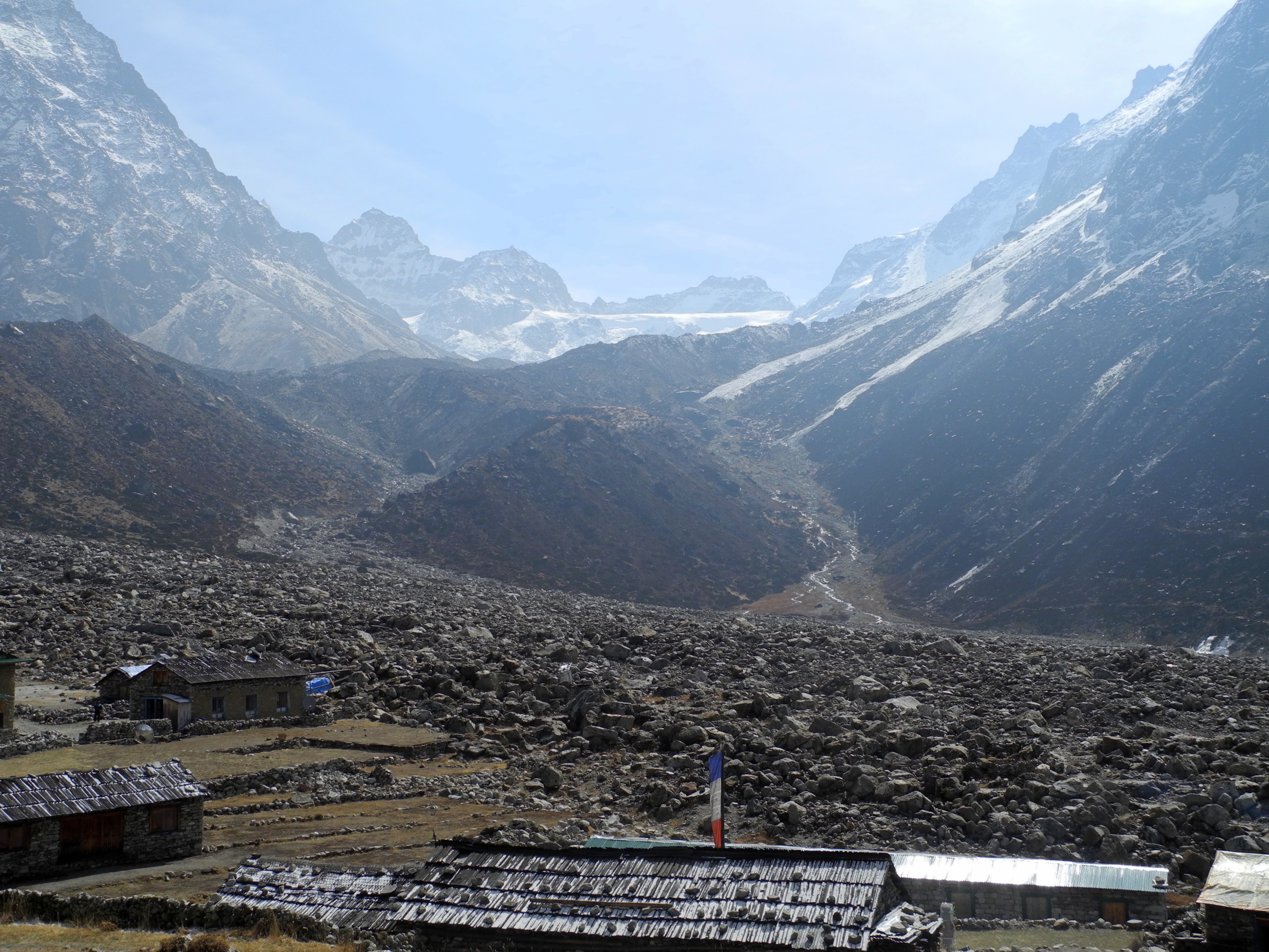
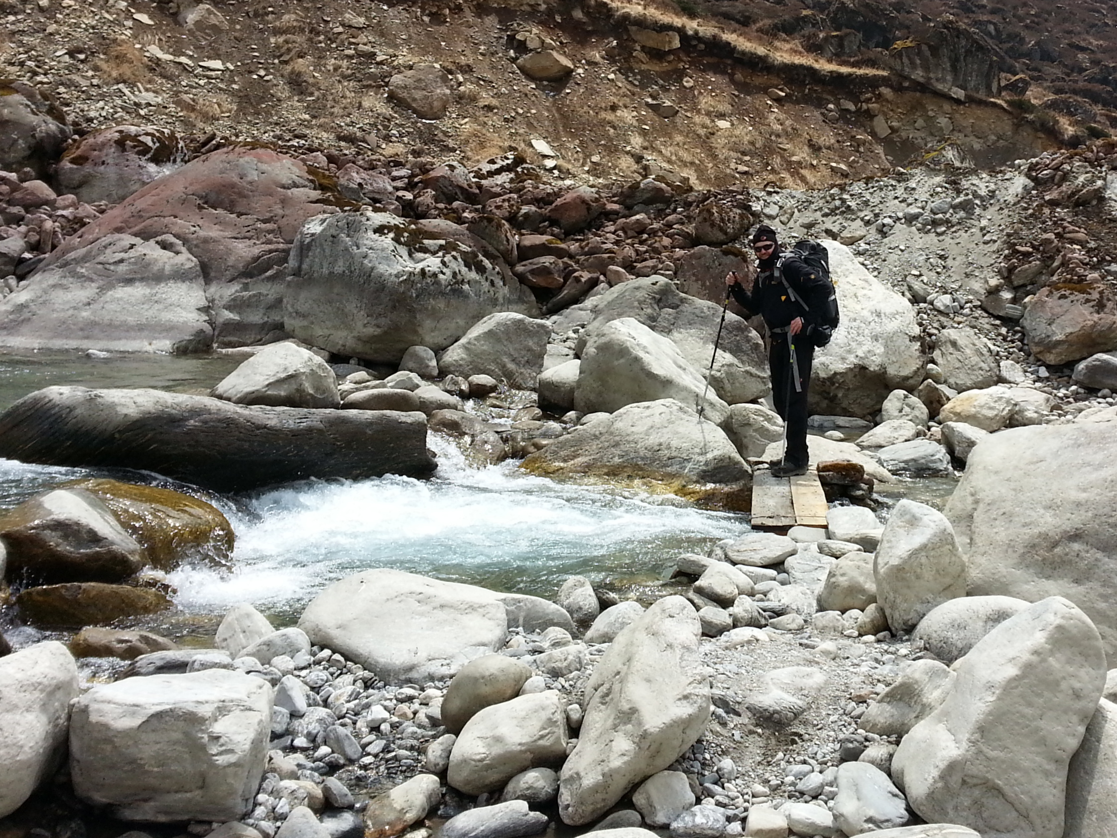
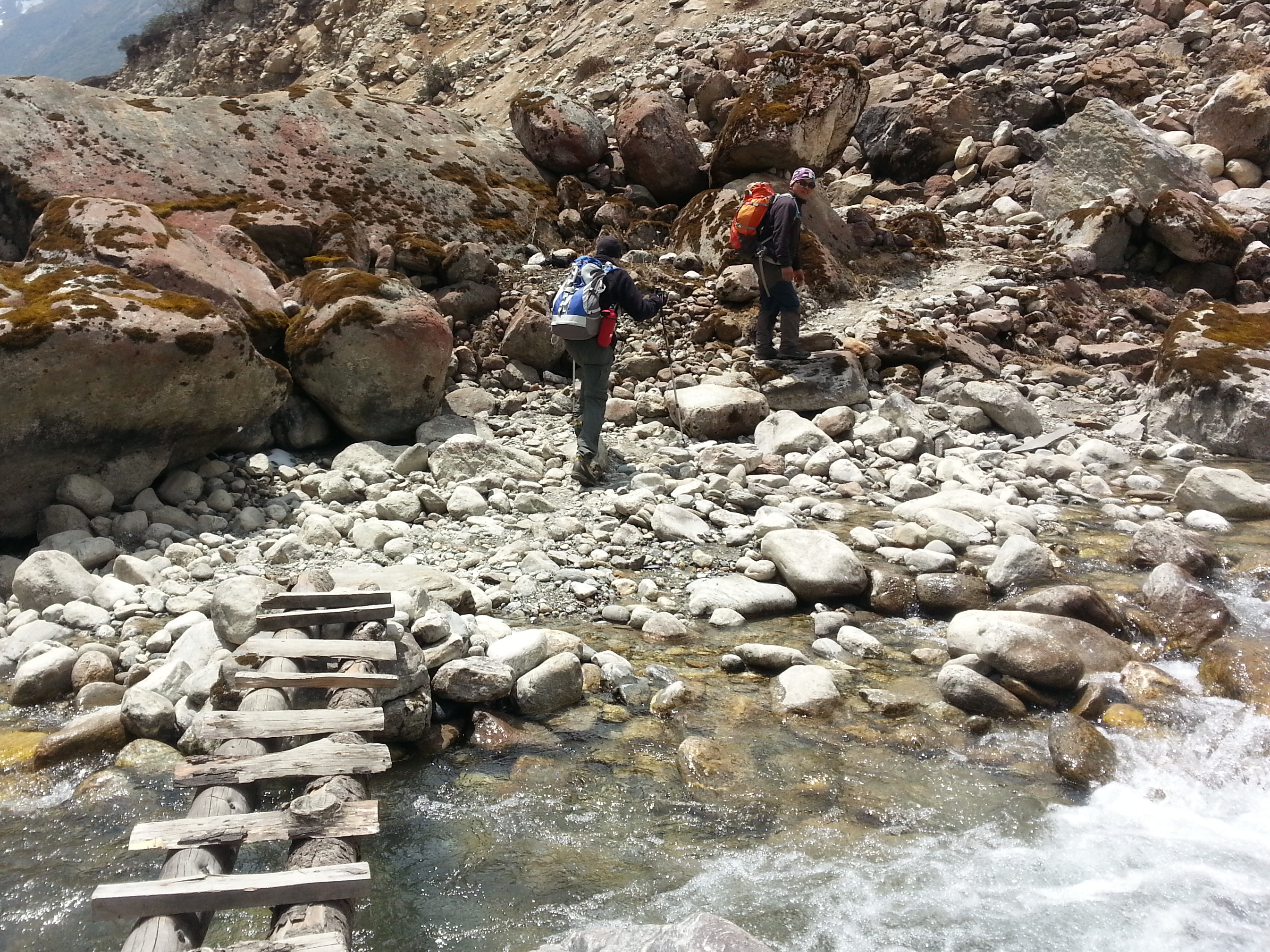
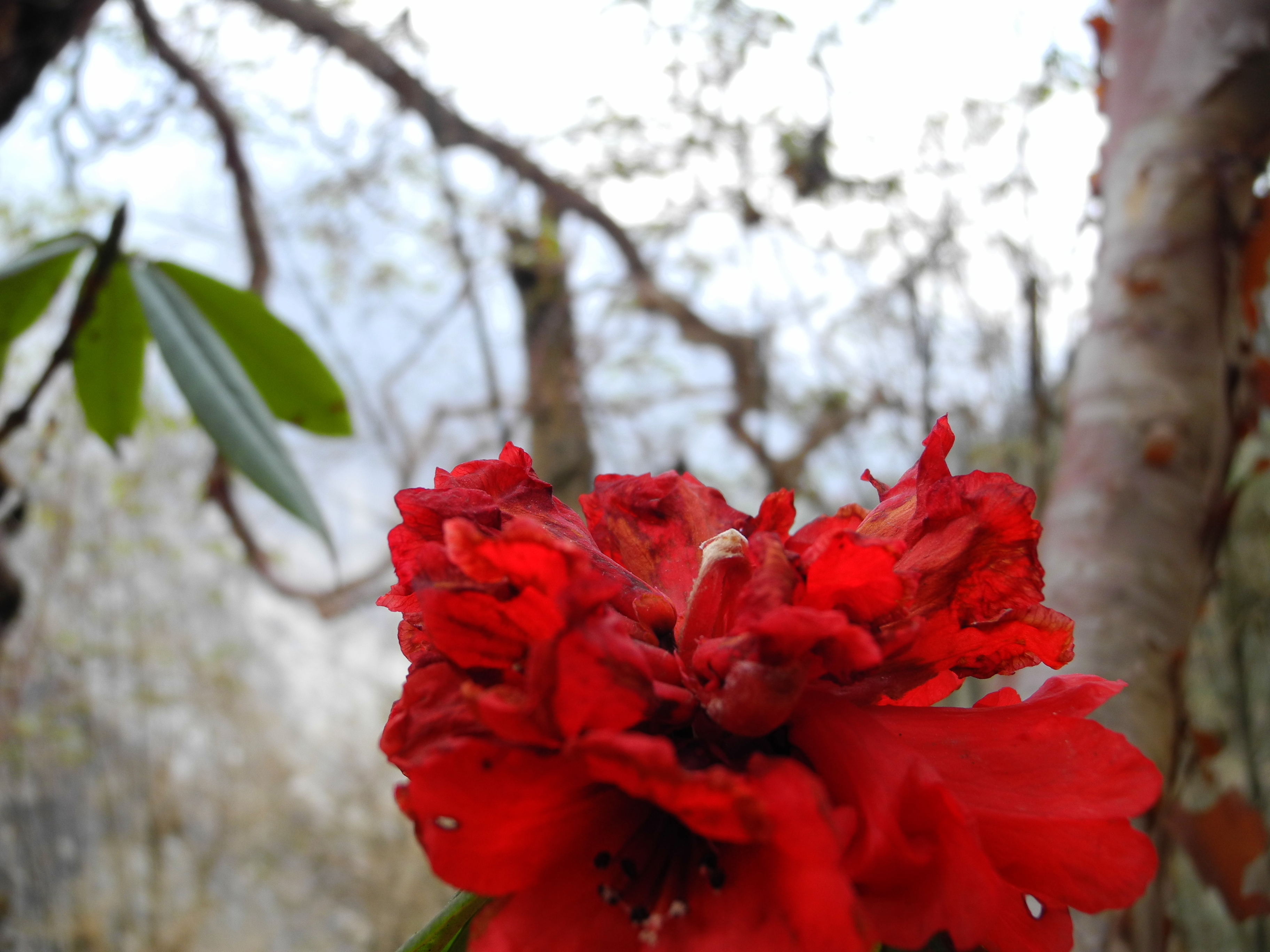
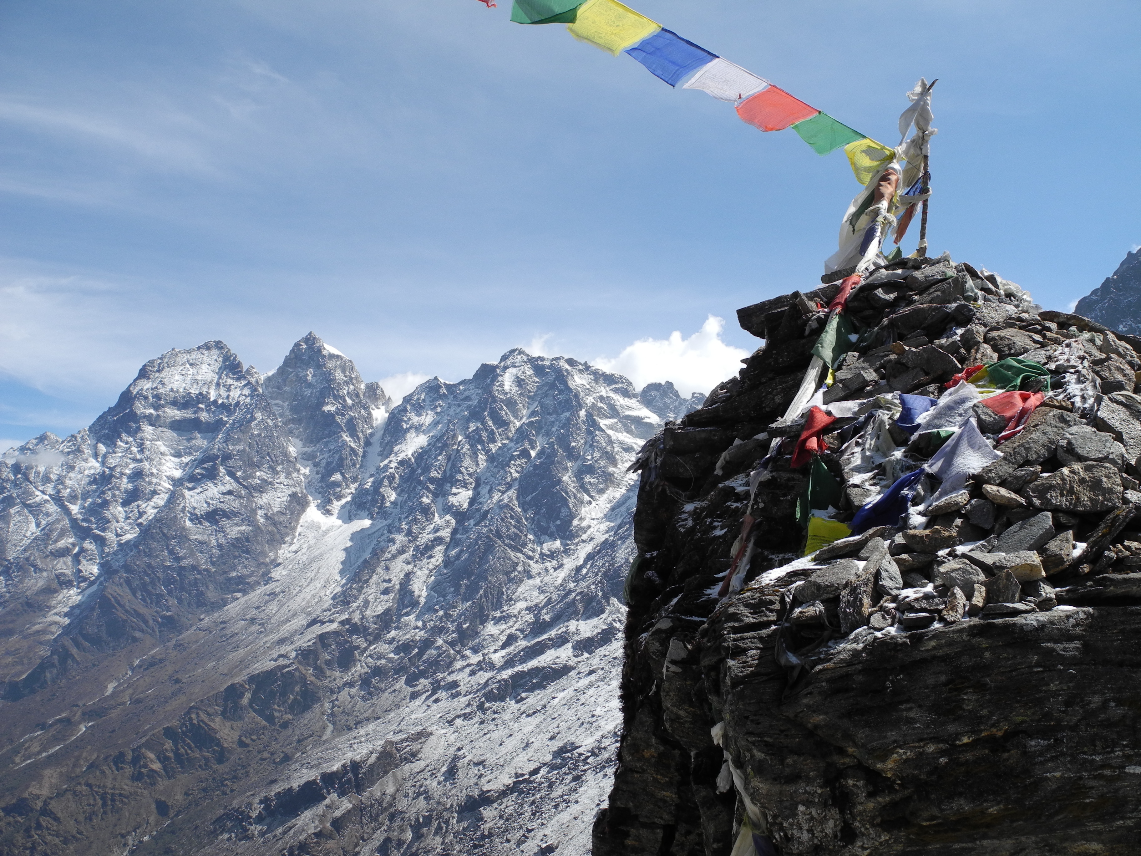
We had slightly underestimated the descent – it was longer than expected and not entirely without hazard. After a night in Gokyo, the Cho Oyu greeted us with its summit glowing in the morning sun. Before breakfast, for training purposes, we rushed up the 5,320 m summit of Gokyo Ri, which we reached in just under two hours. The view surpassed even the Renjo La vista of the previous day, and you simply couldn’t get enough of it. Three eight-thousanders, countless world-famous seven-thousanders, and at our feet the Ngozumba Glacier – the largest glacier in Nepal – whose lateral moraine we of course also climbed after returning to Gokyo.

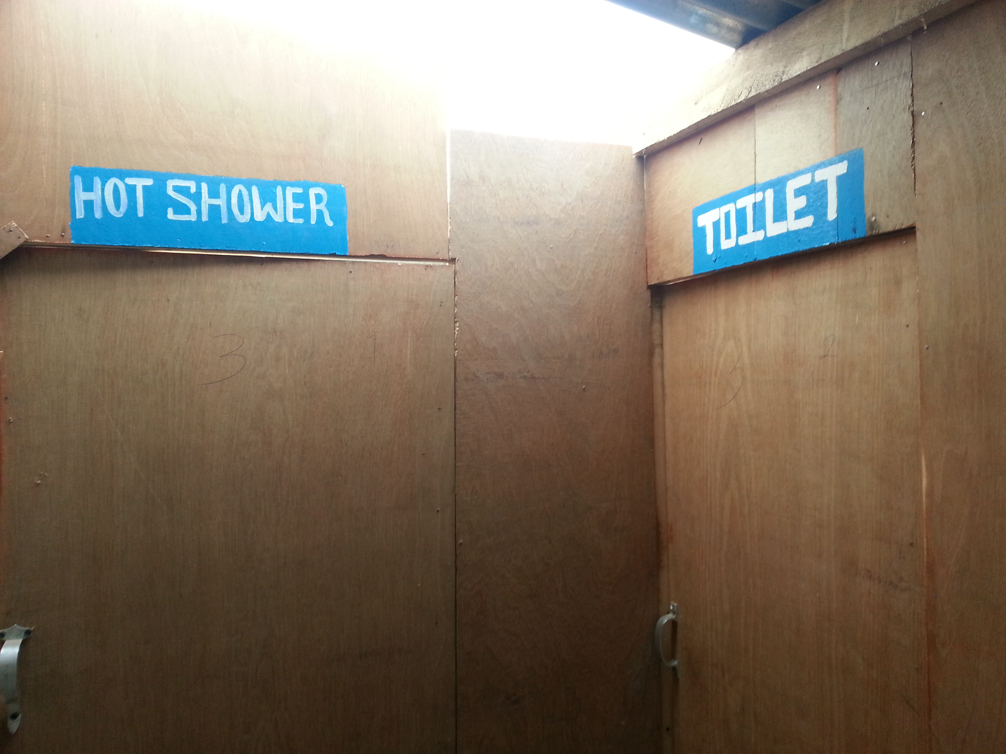
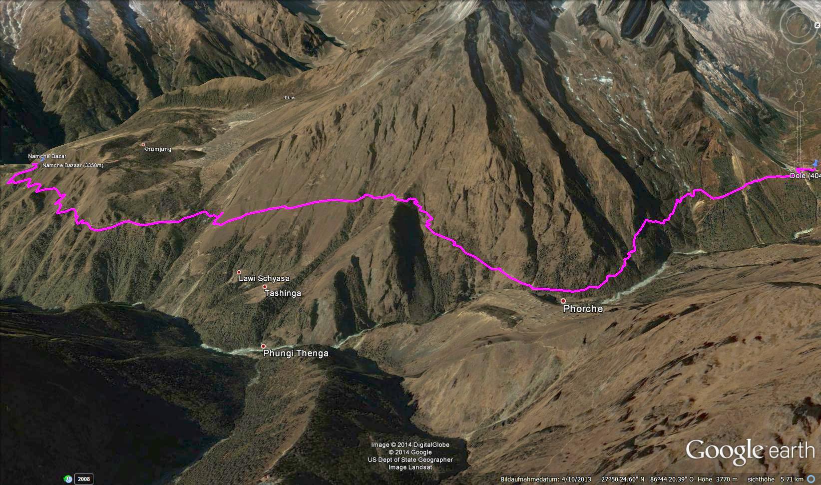
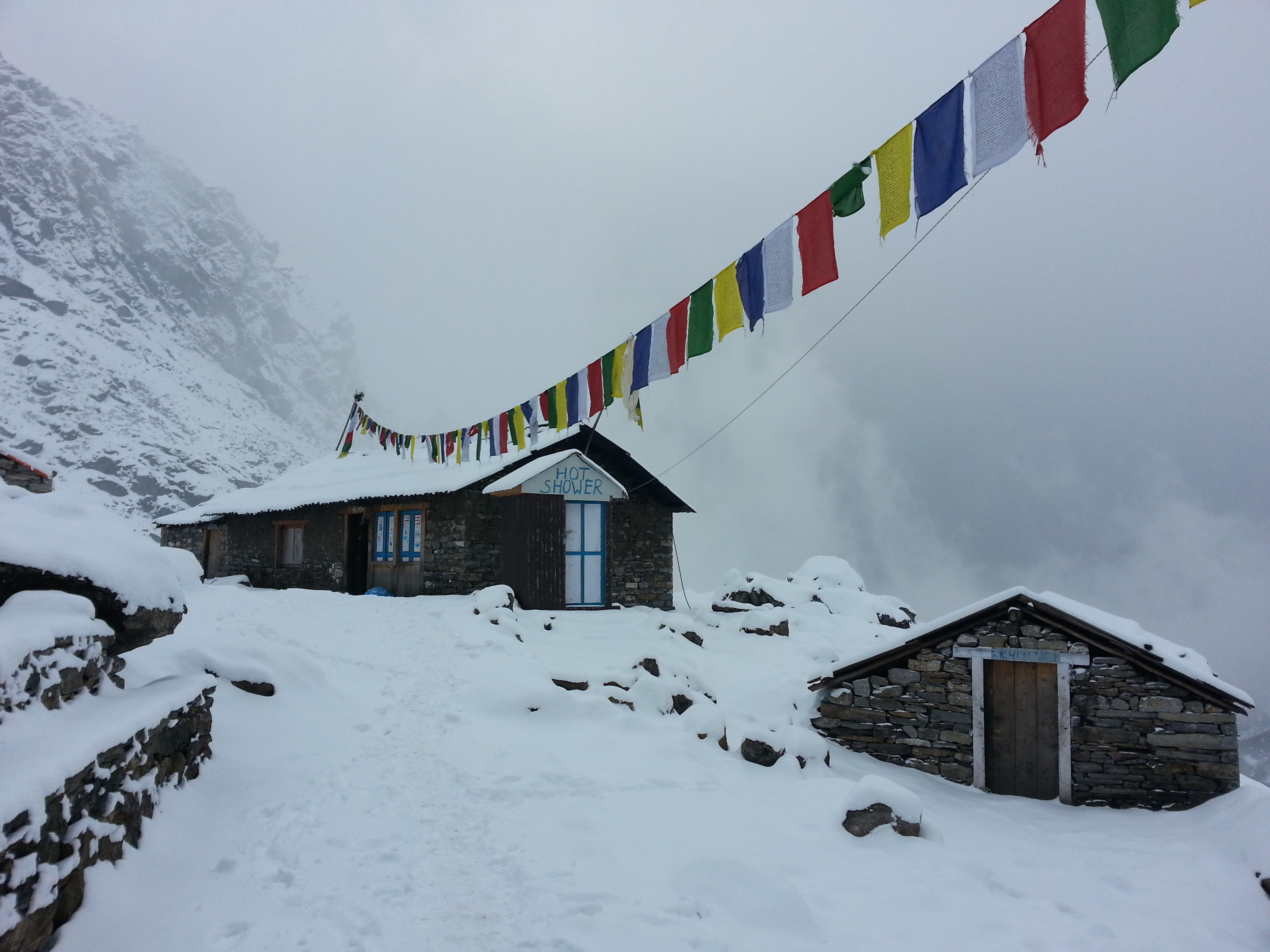
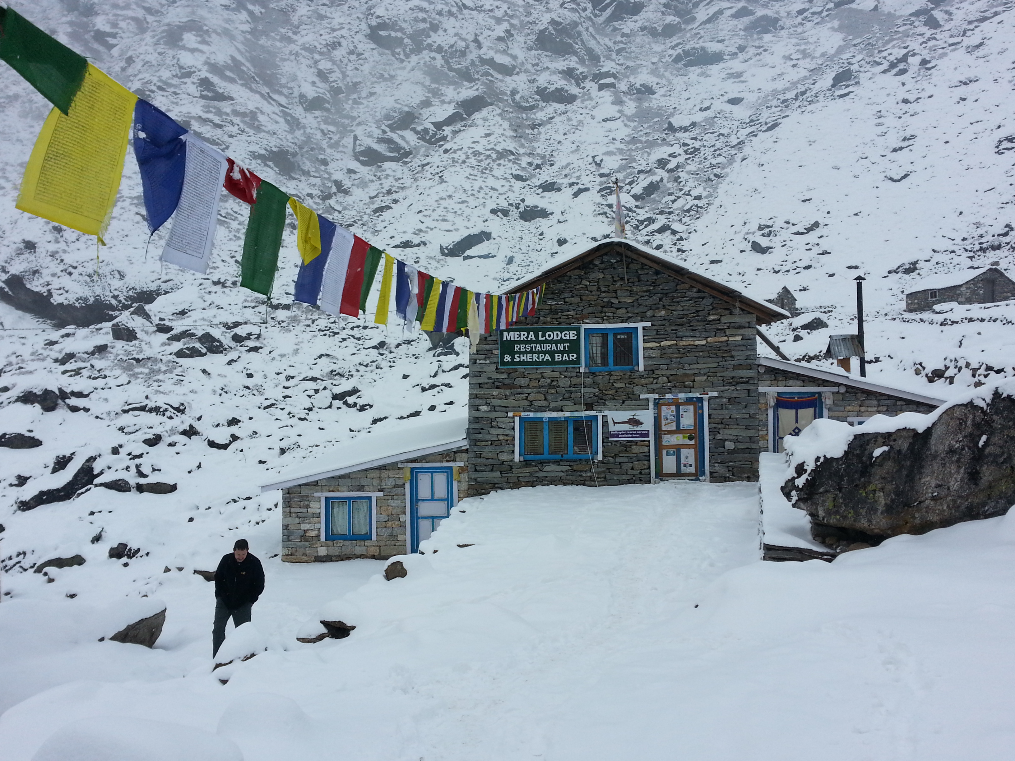
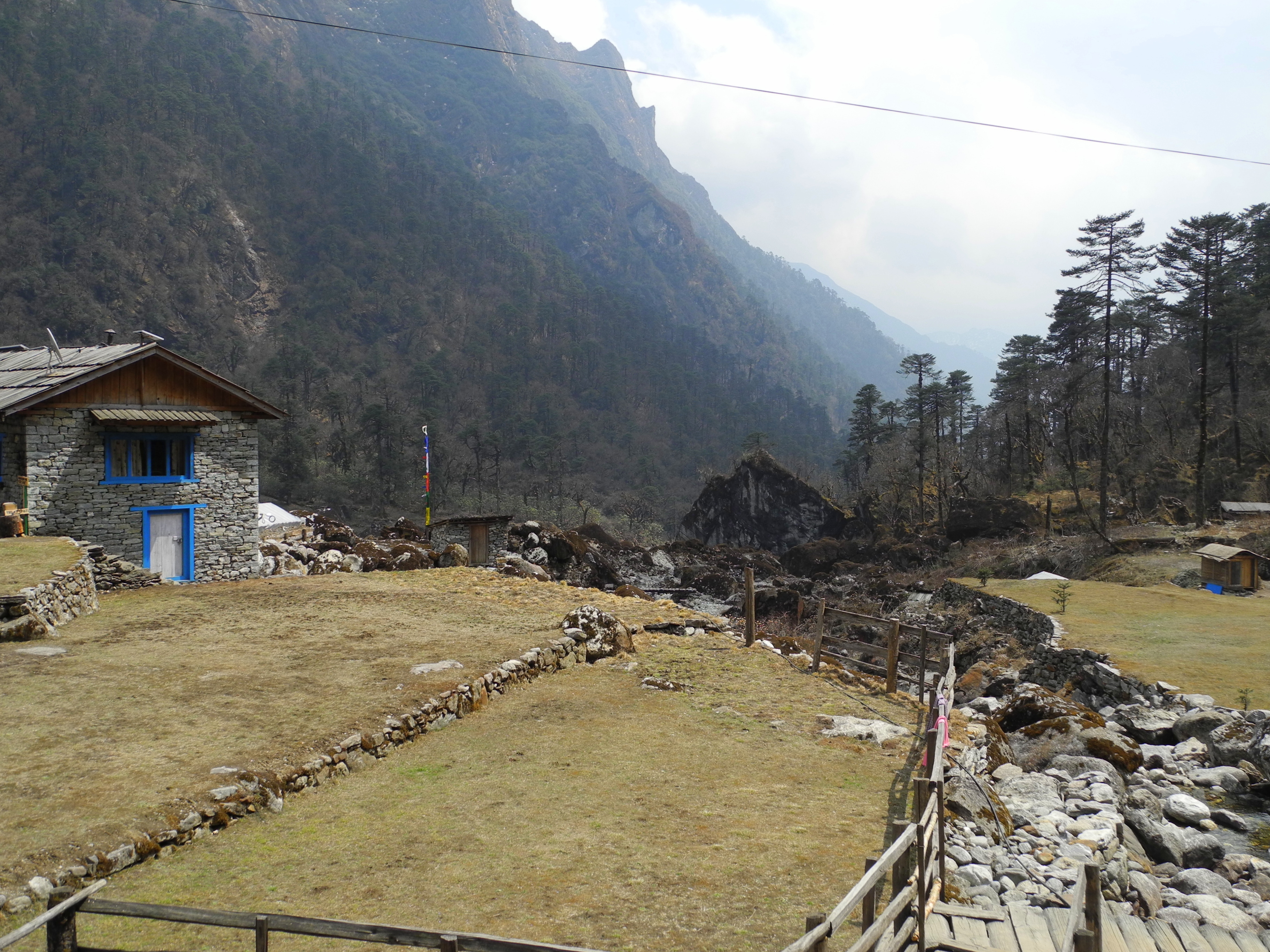
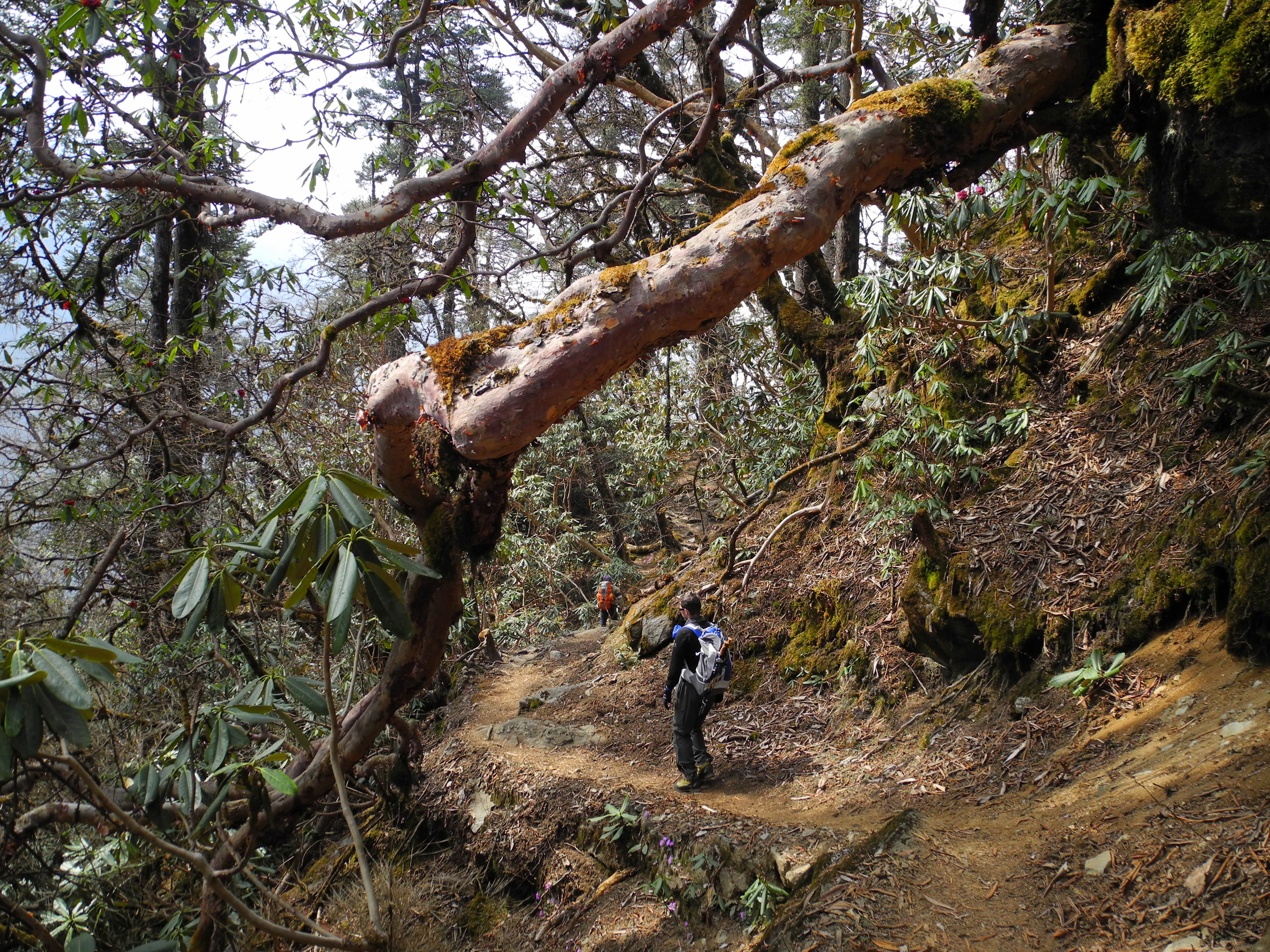
We continued the roughly 16 km to Dole. At the truly excellent lodge “Dole Resort” we seized the opportunity to enjoy the best hot shower so far. The effect of a warm shower on morale is remarkable.

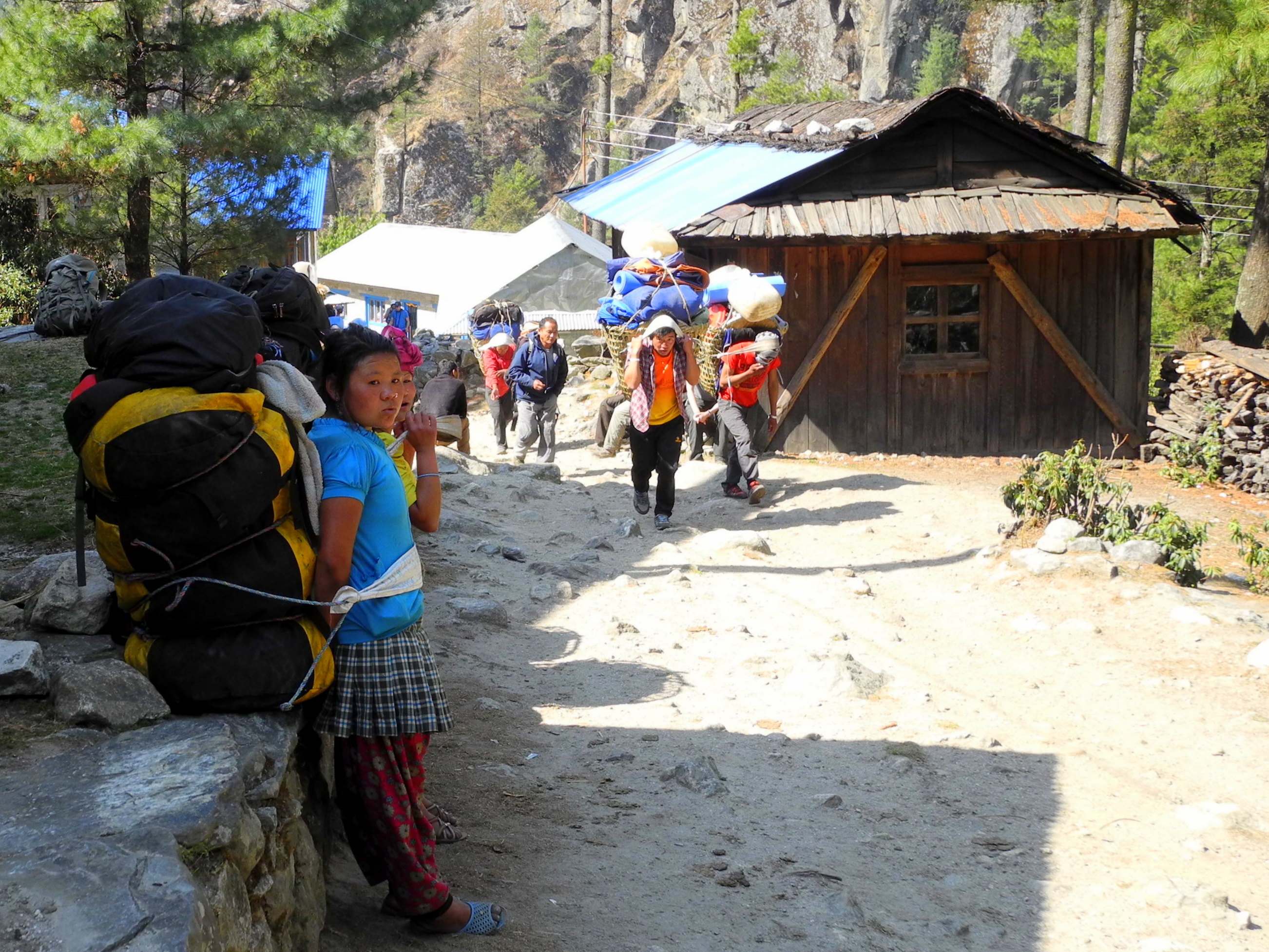
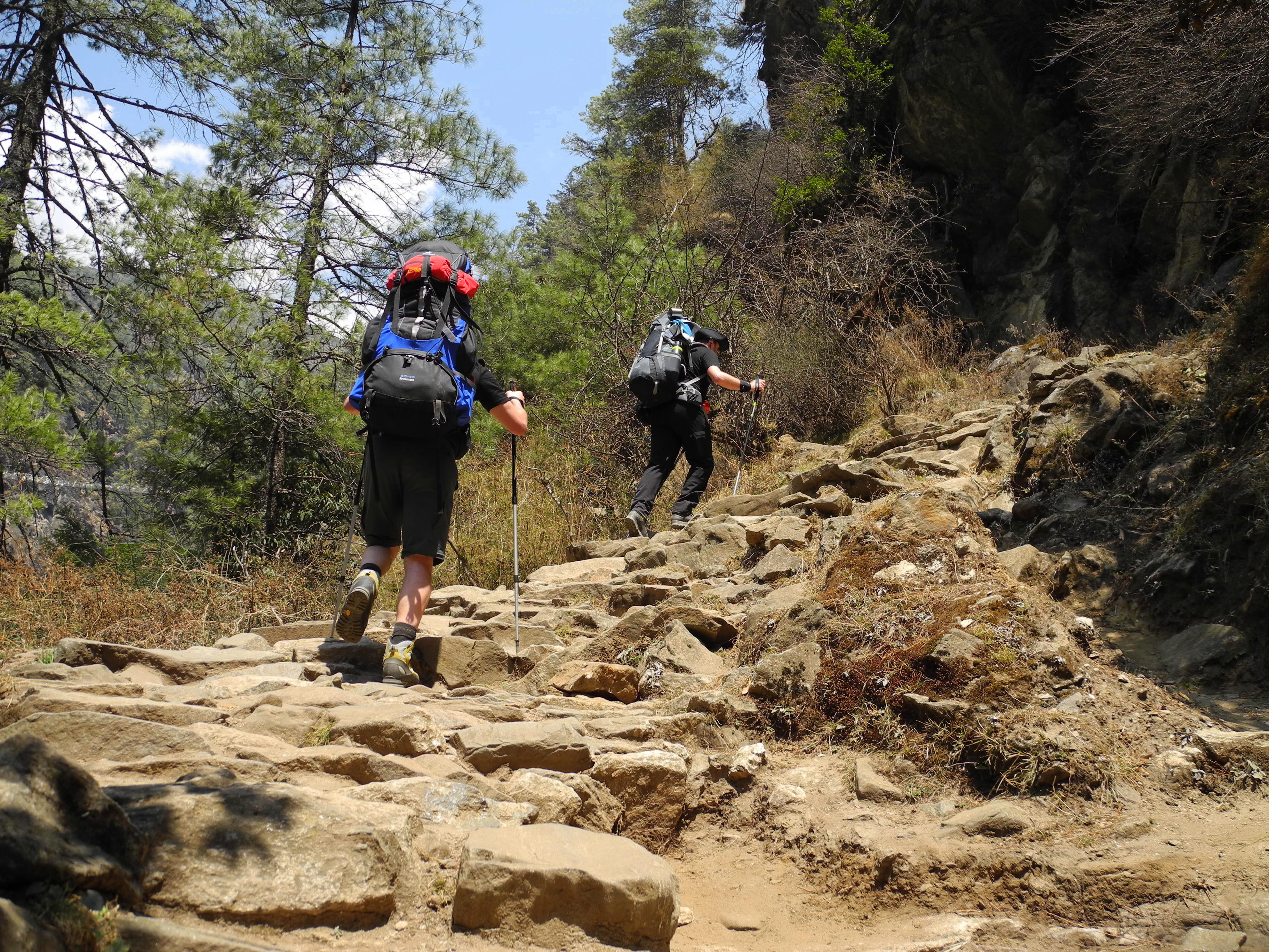
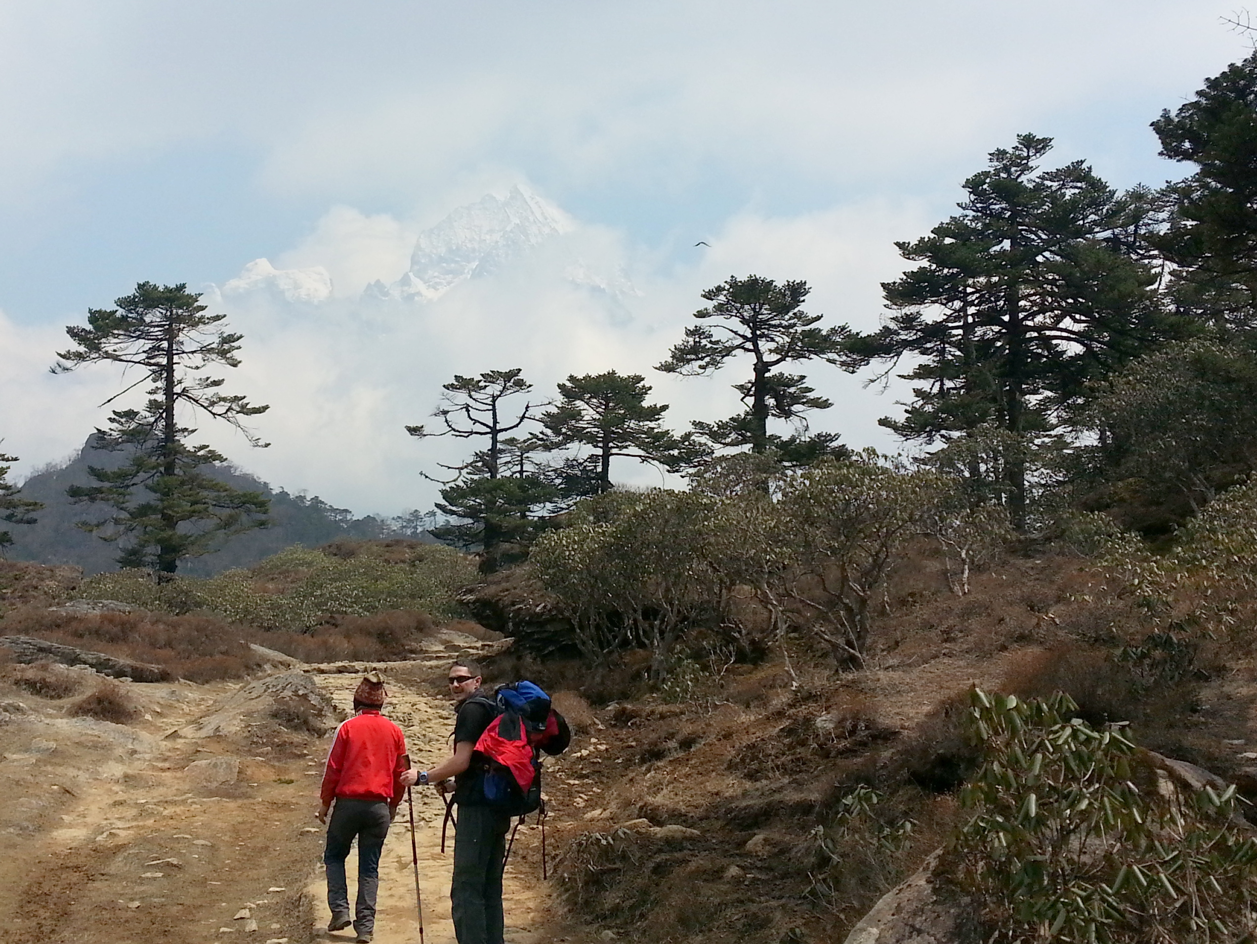
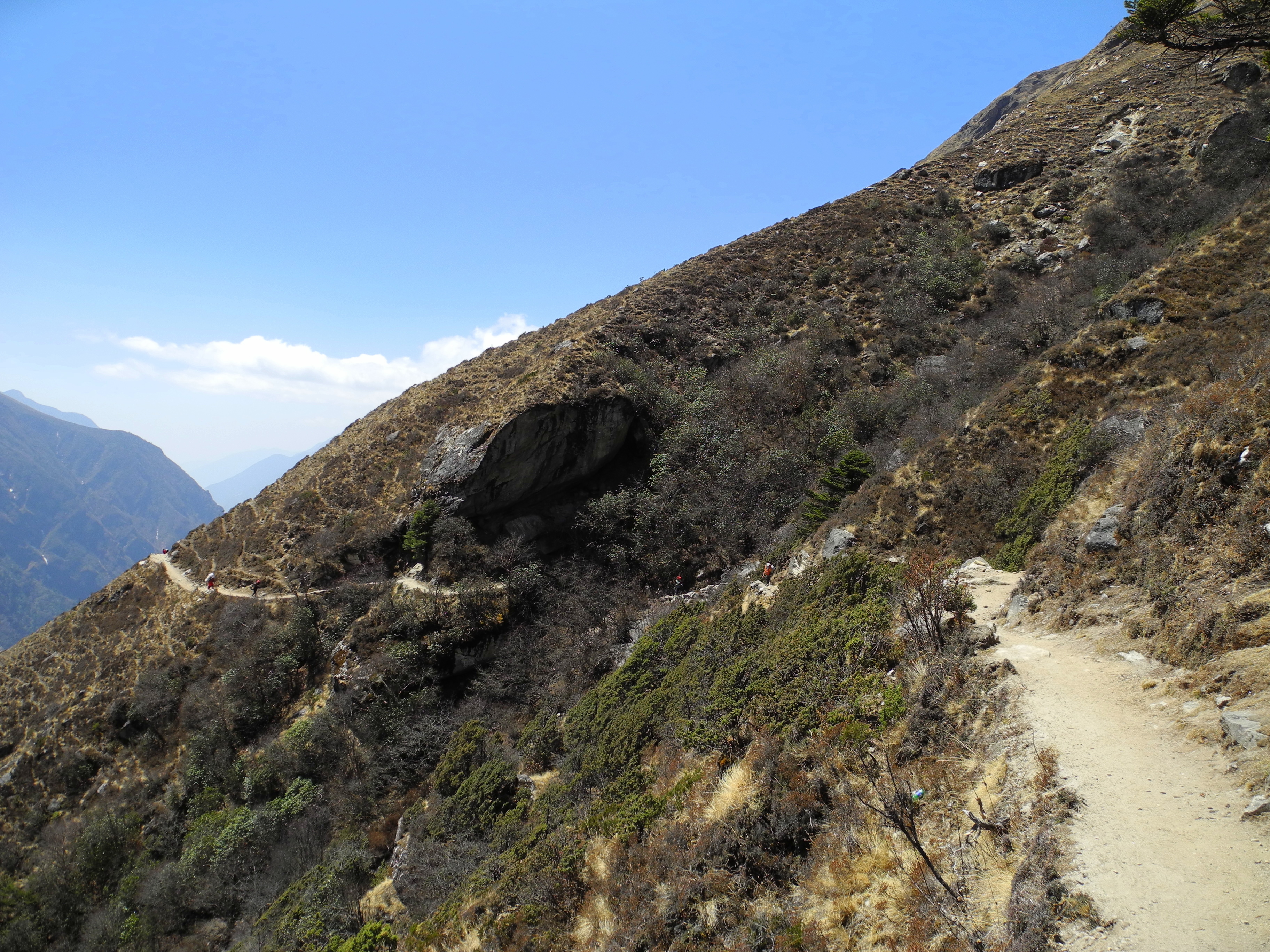
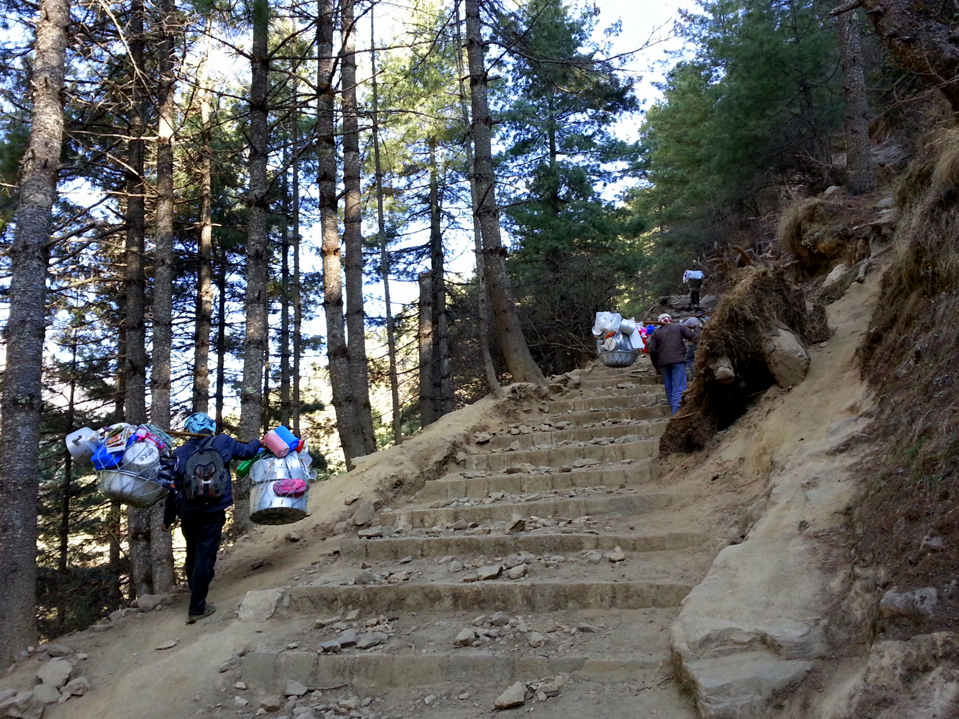
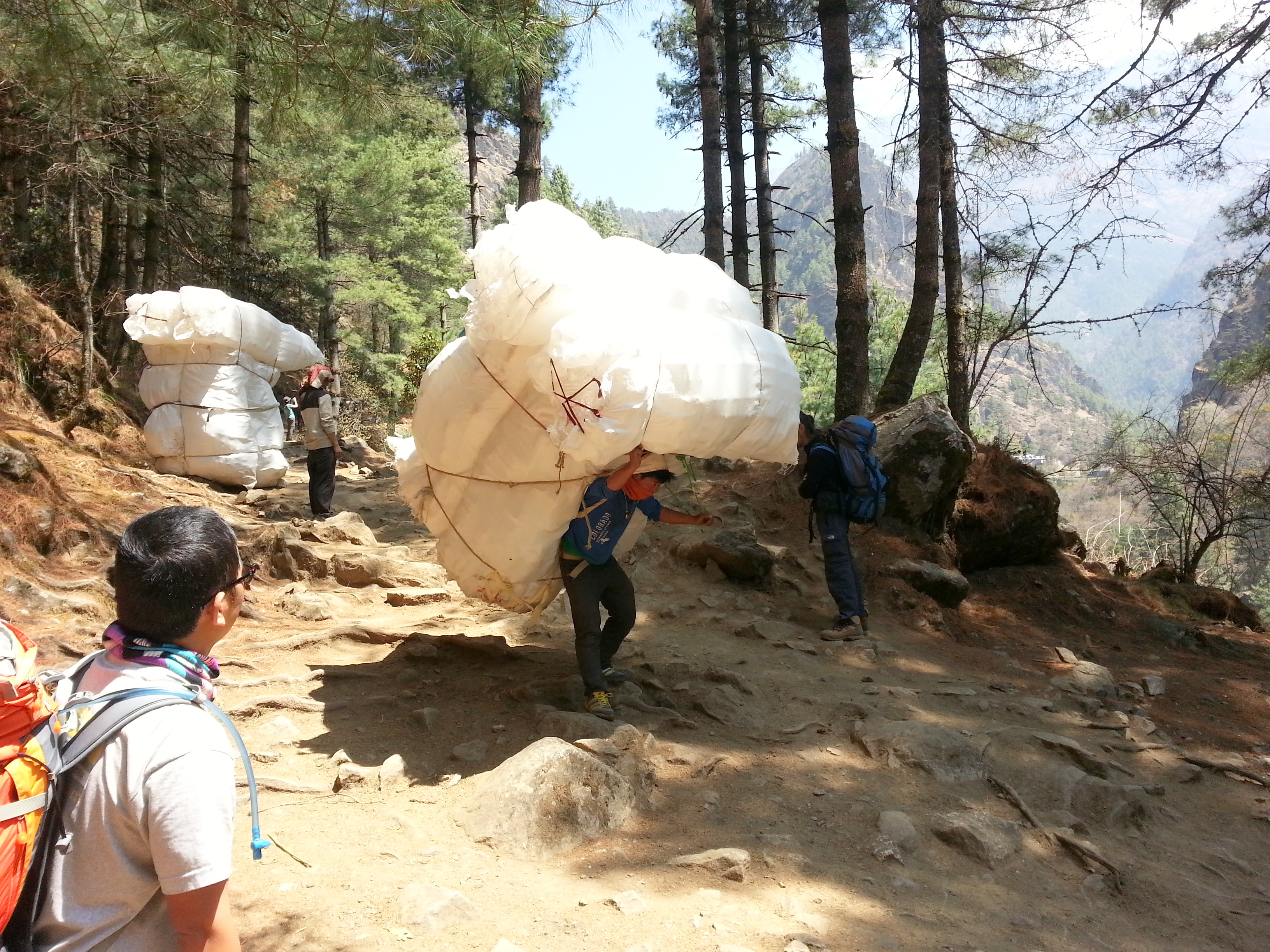
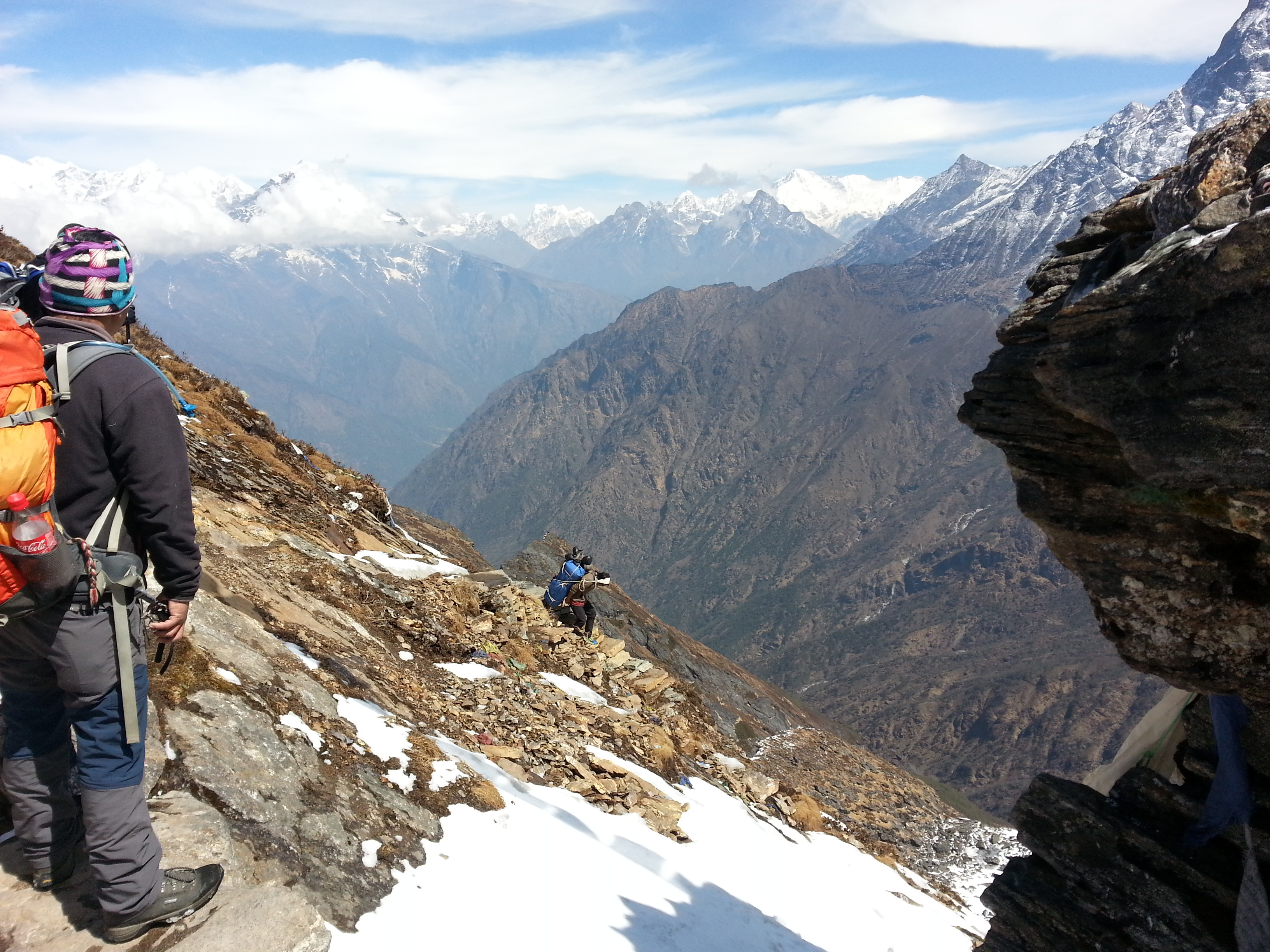
Once again the next morning favoured us, and in brilliant sunshine we headed back to Namche. The Wi-Fi there was immediately put to use for a Skype call home, as making phone calls had been impossible the week before. In one go – with the training mindset firmly in place – we covered the roughly 22 km from Namche to Lukla. We latched on to a group of young local porters and tried not to get dropped, which we managed. We pushed through the stretch at a deliberate pace – partly as a kind of stress test for what was still to come.

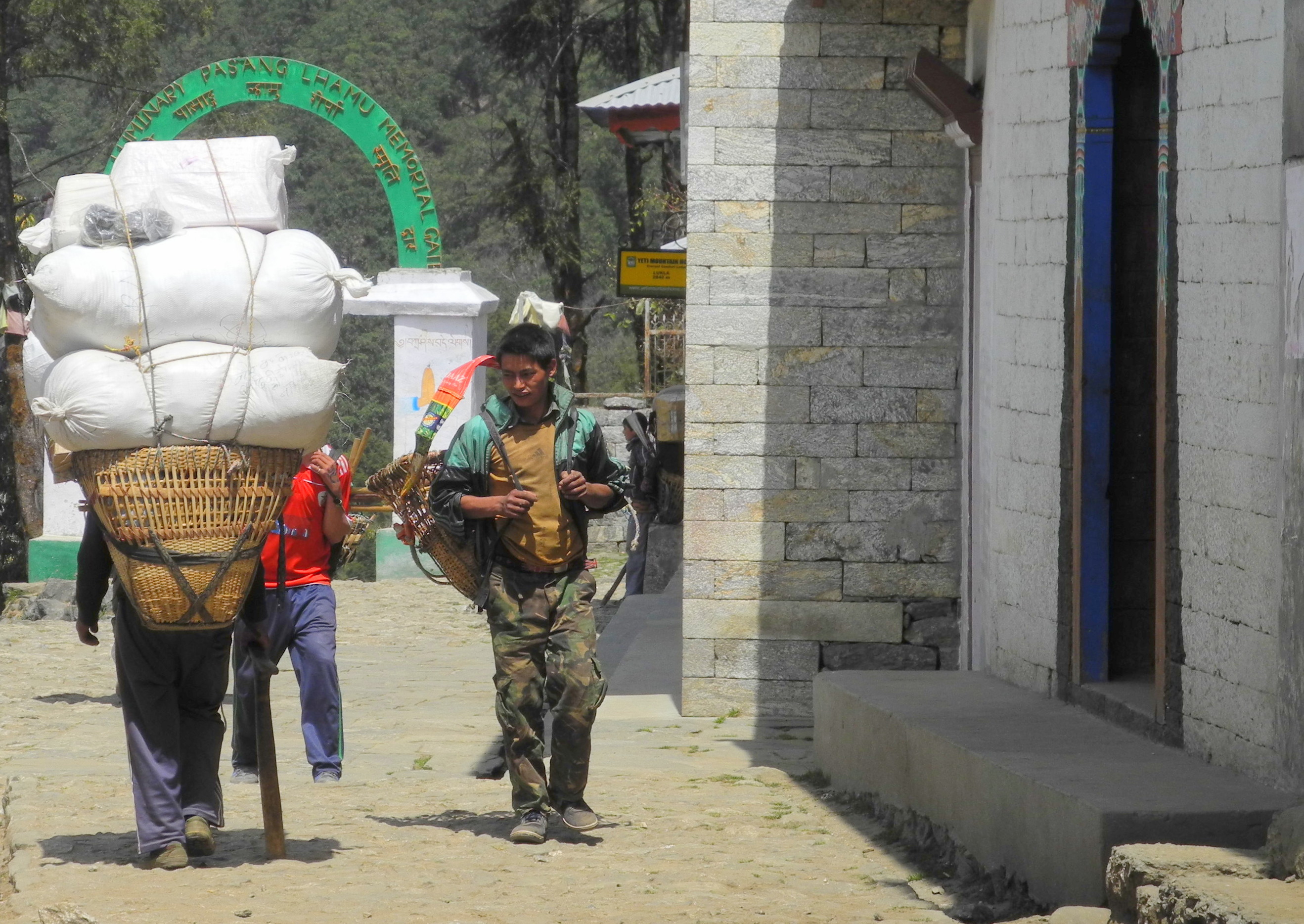
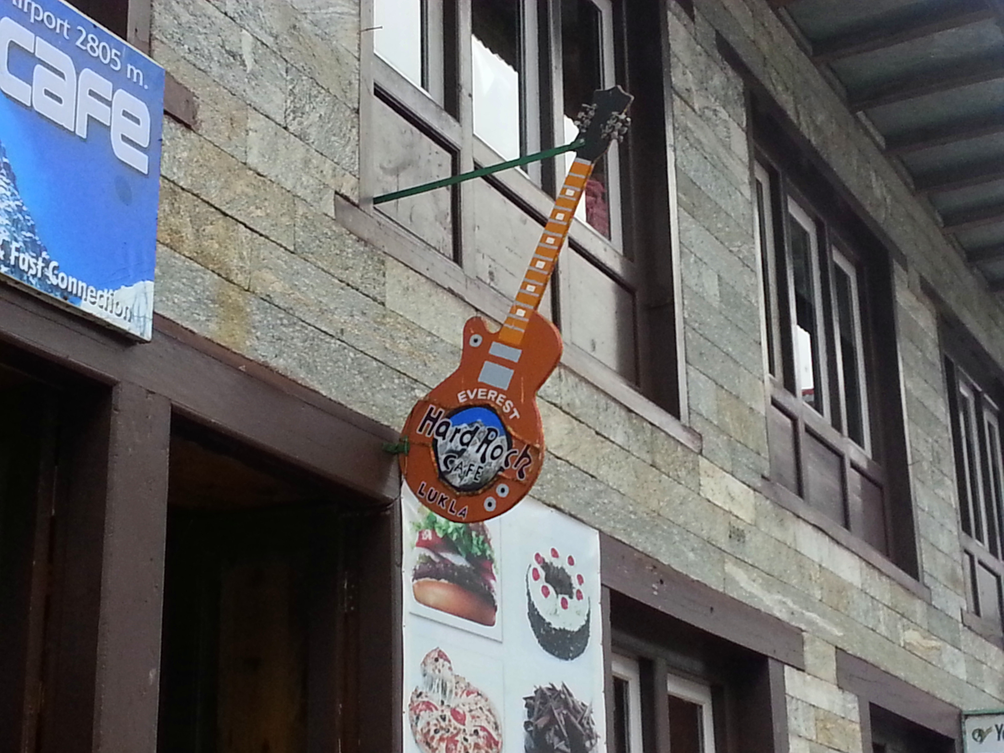
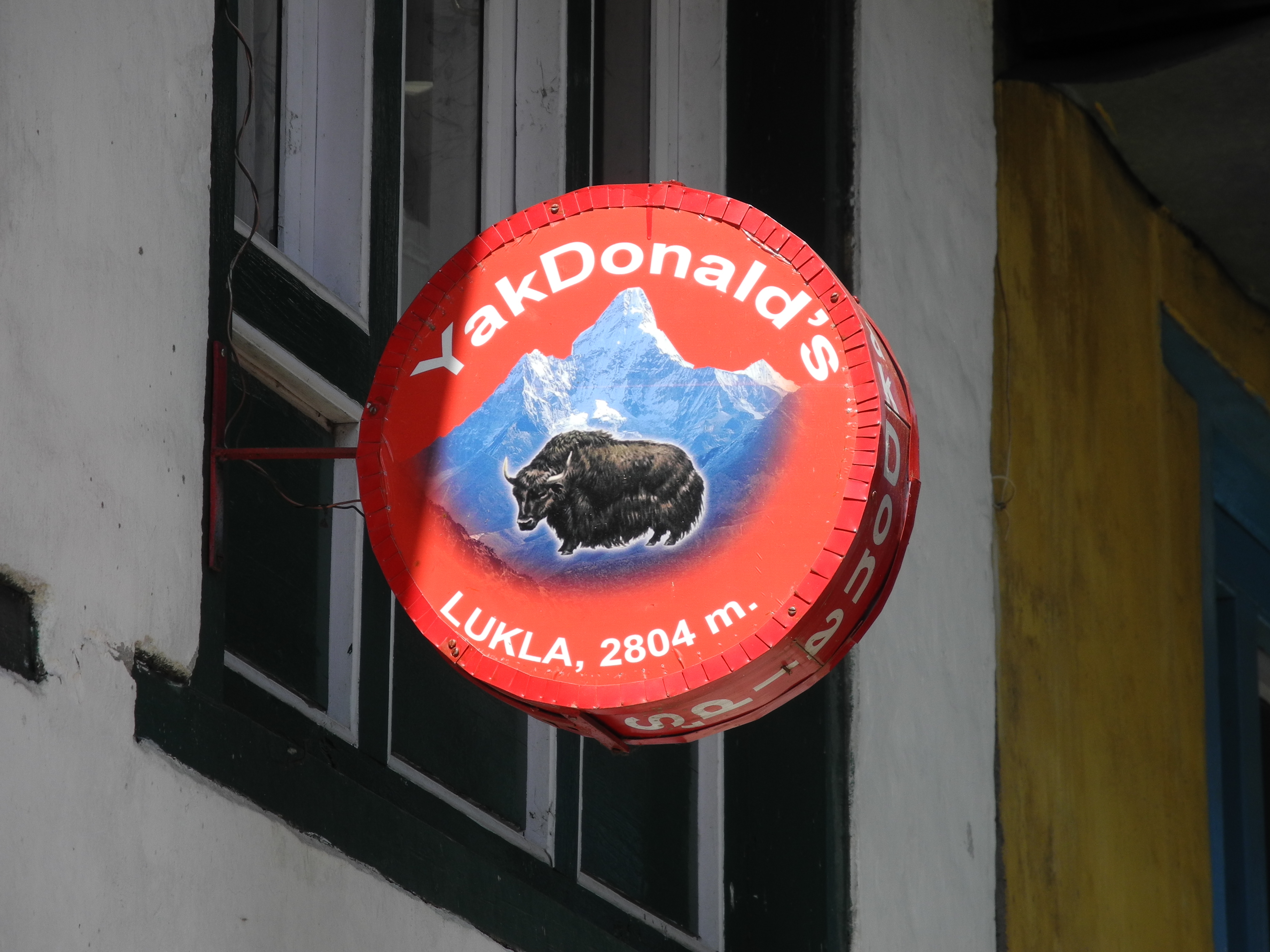
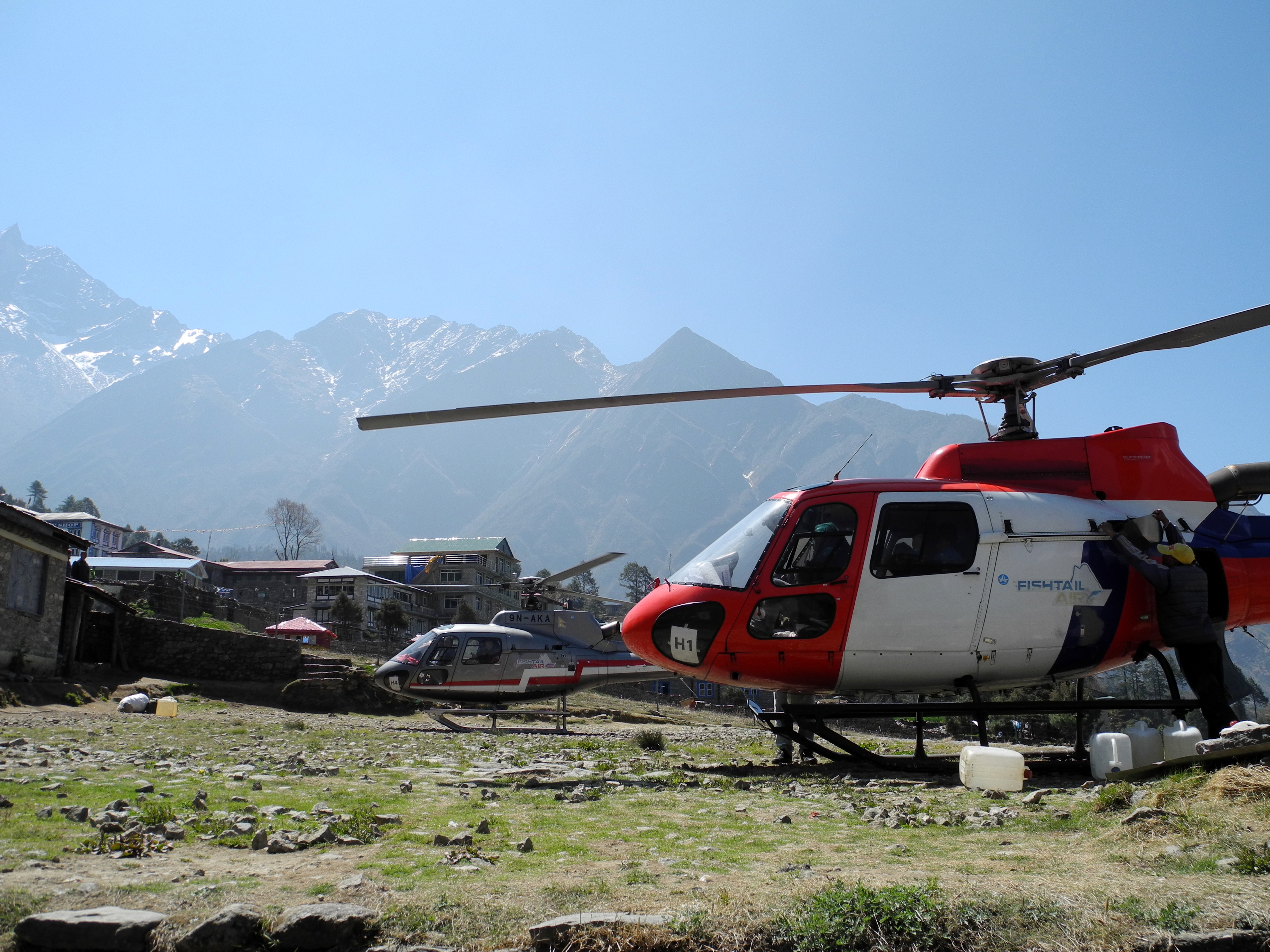
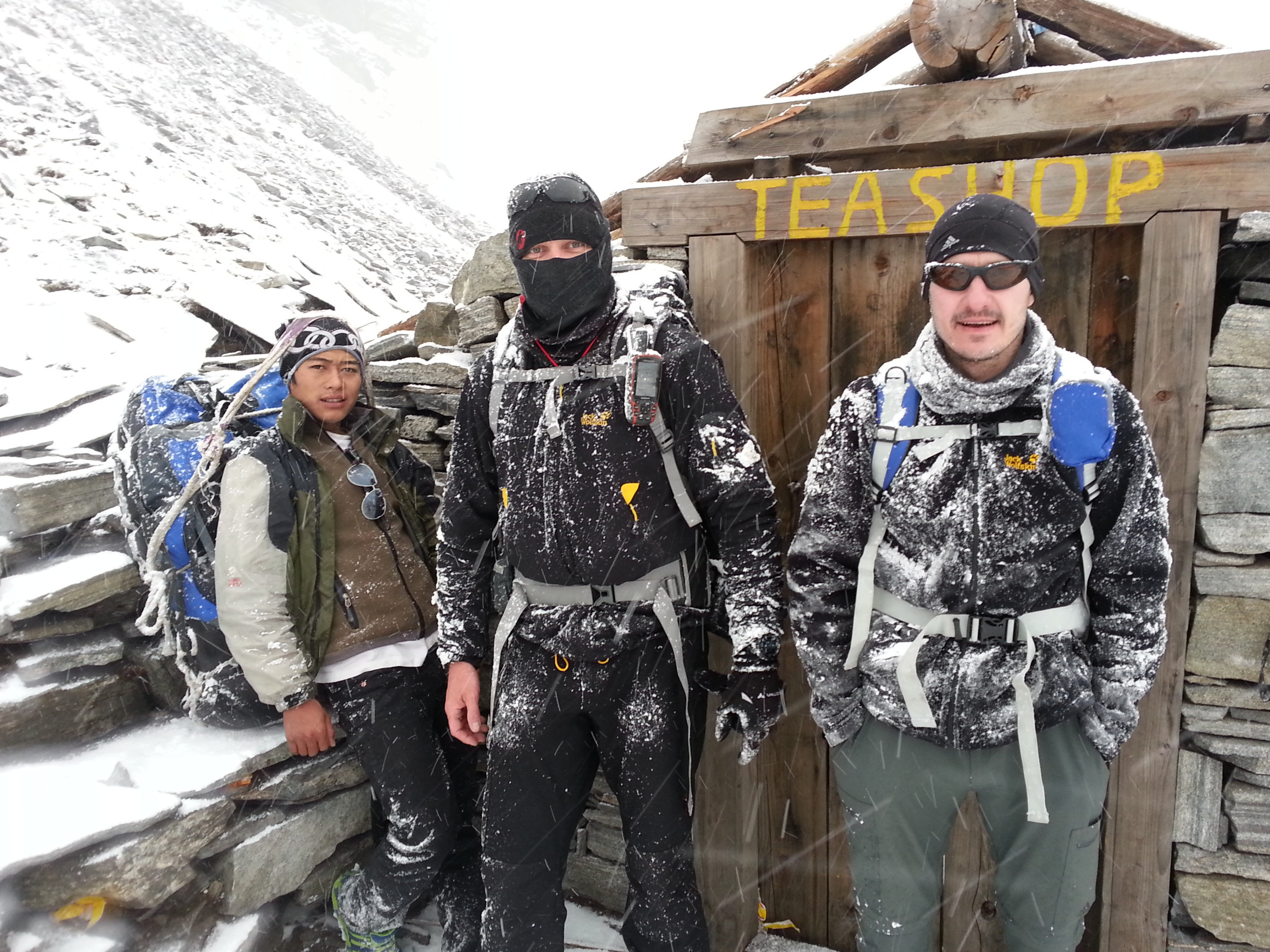
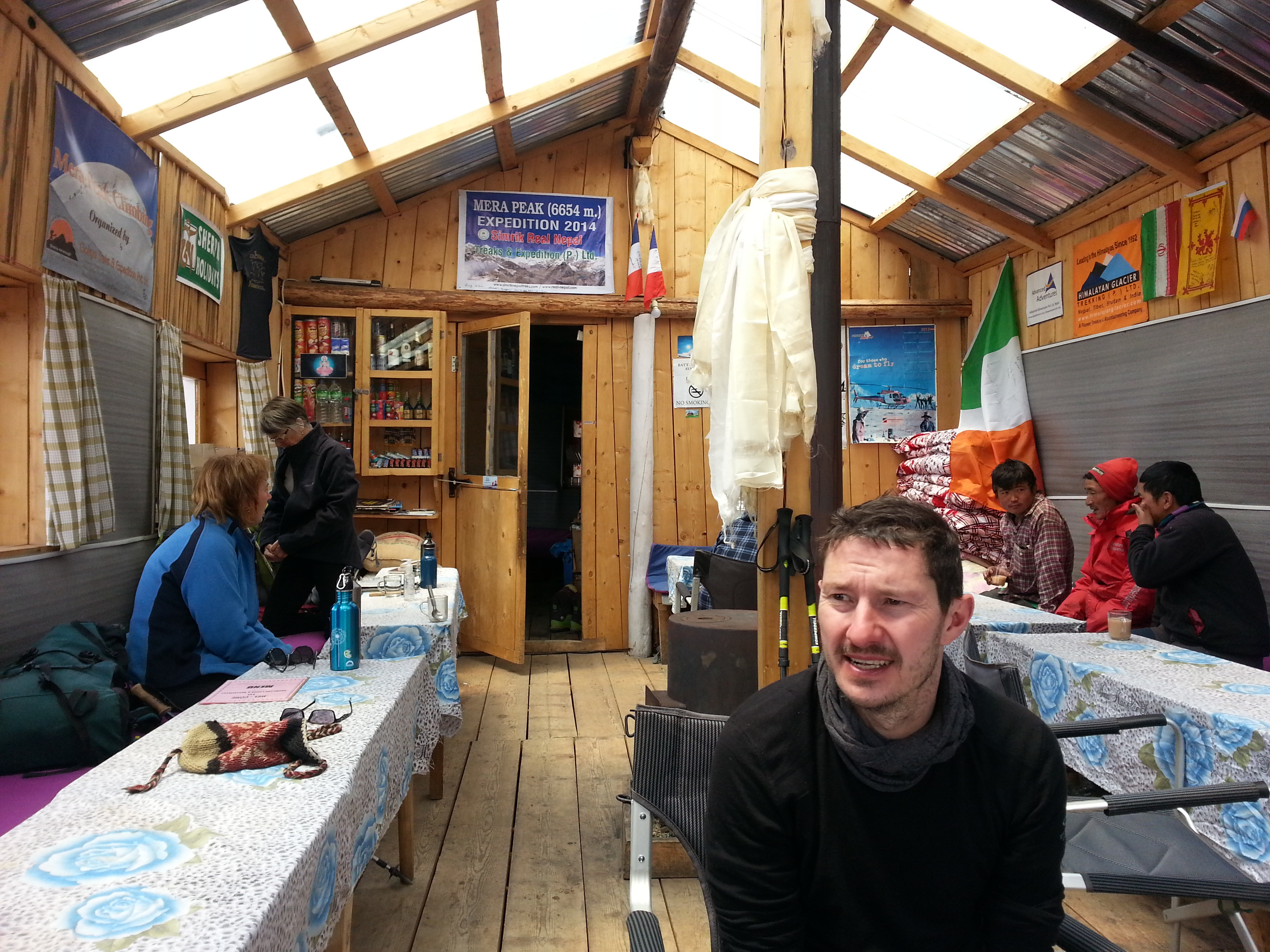
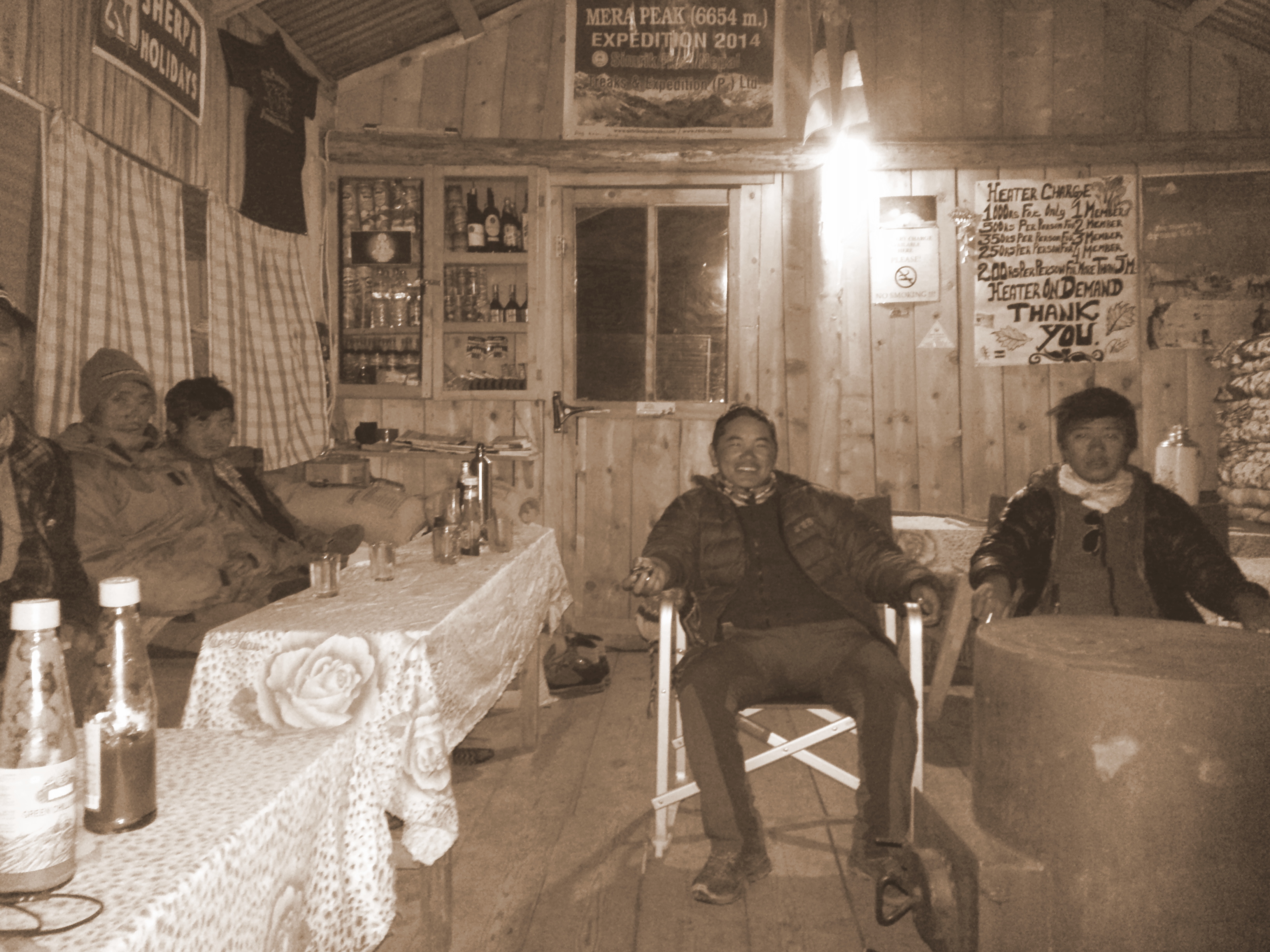
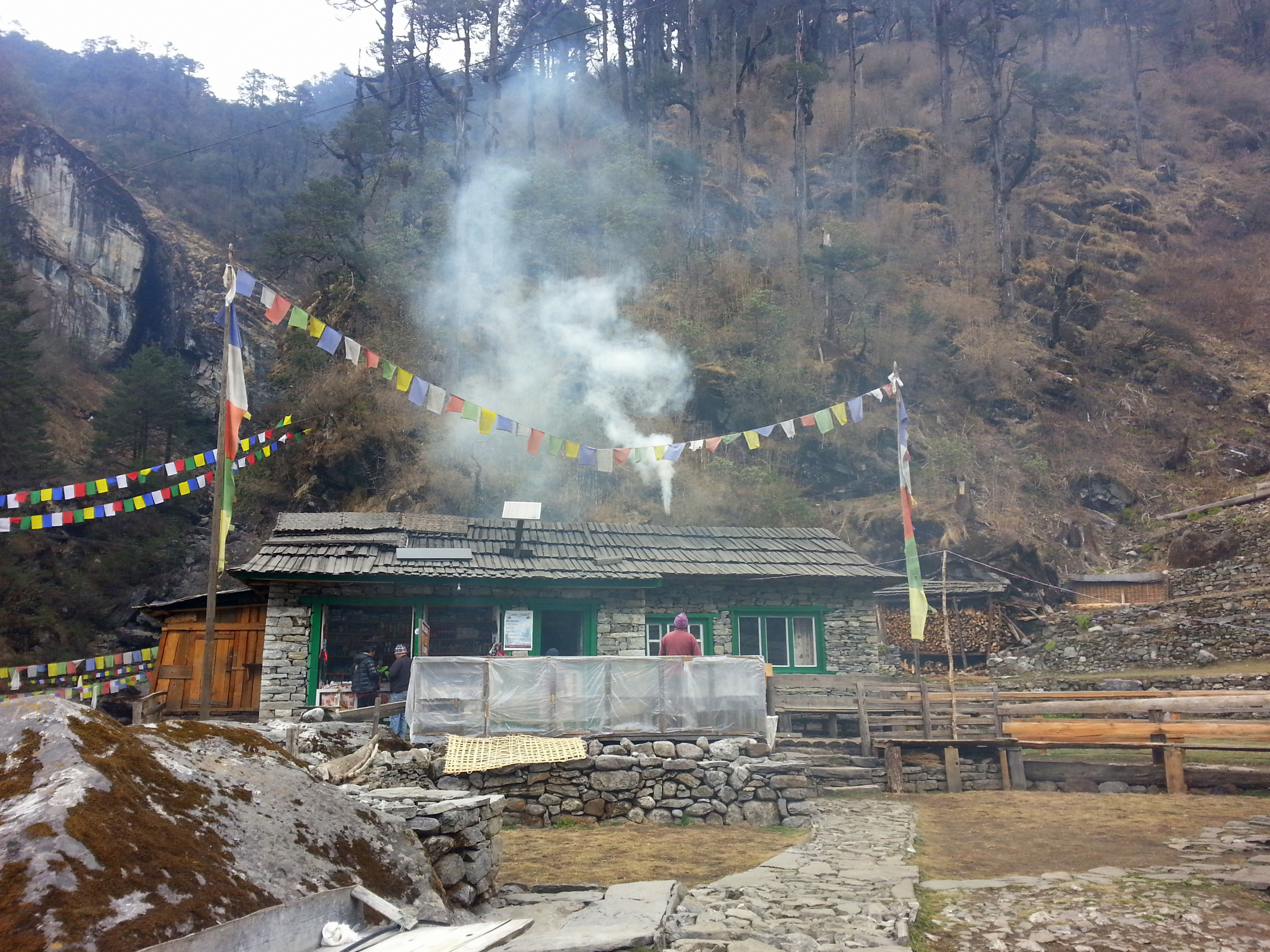
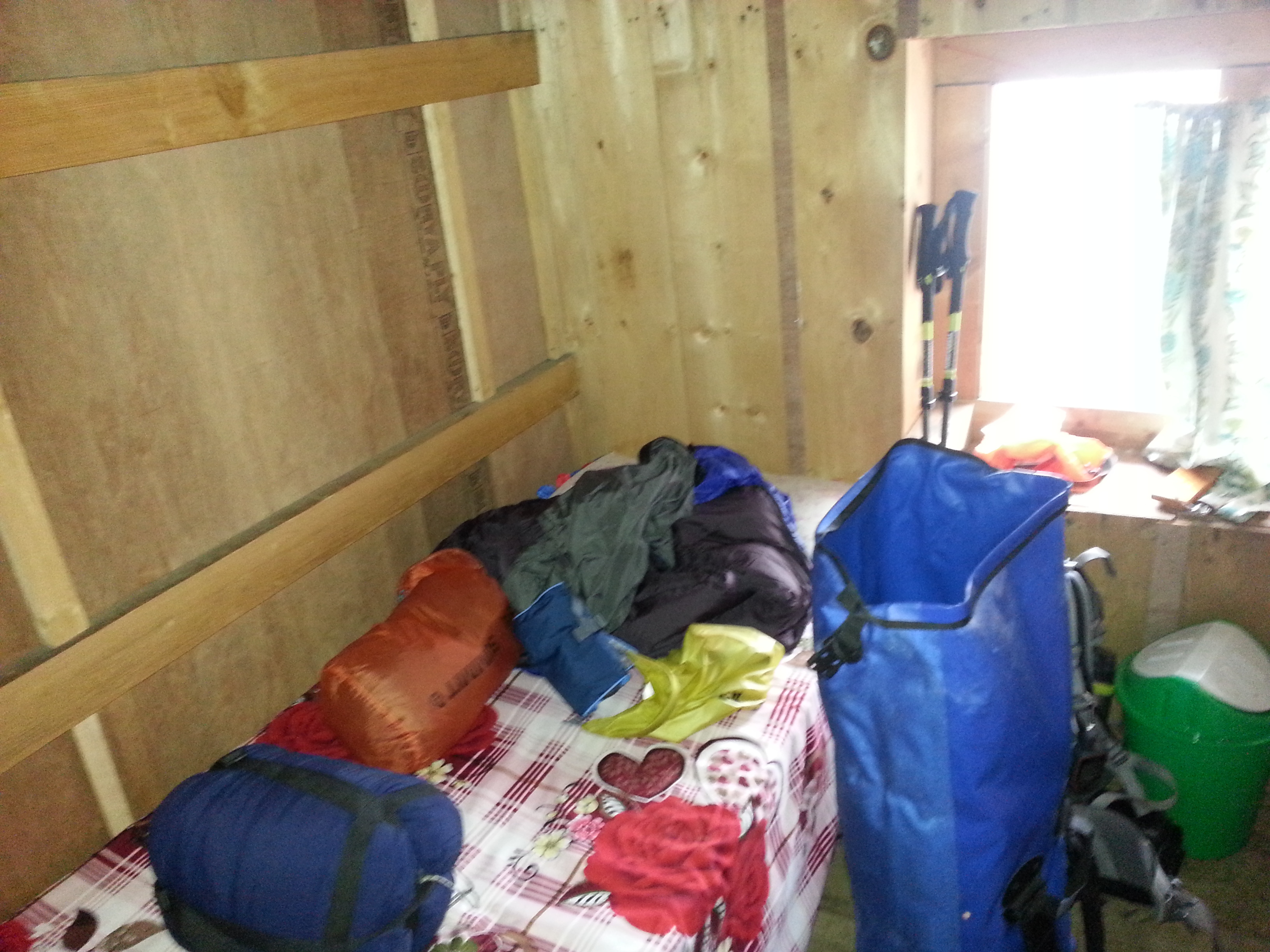
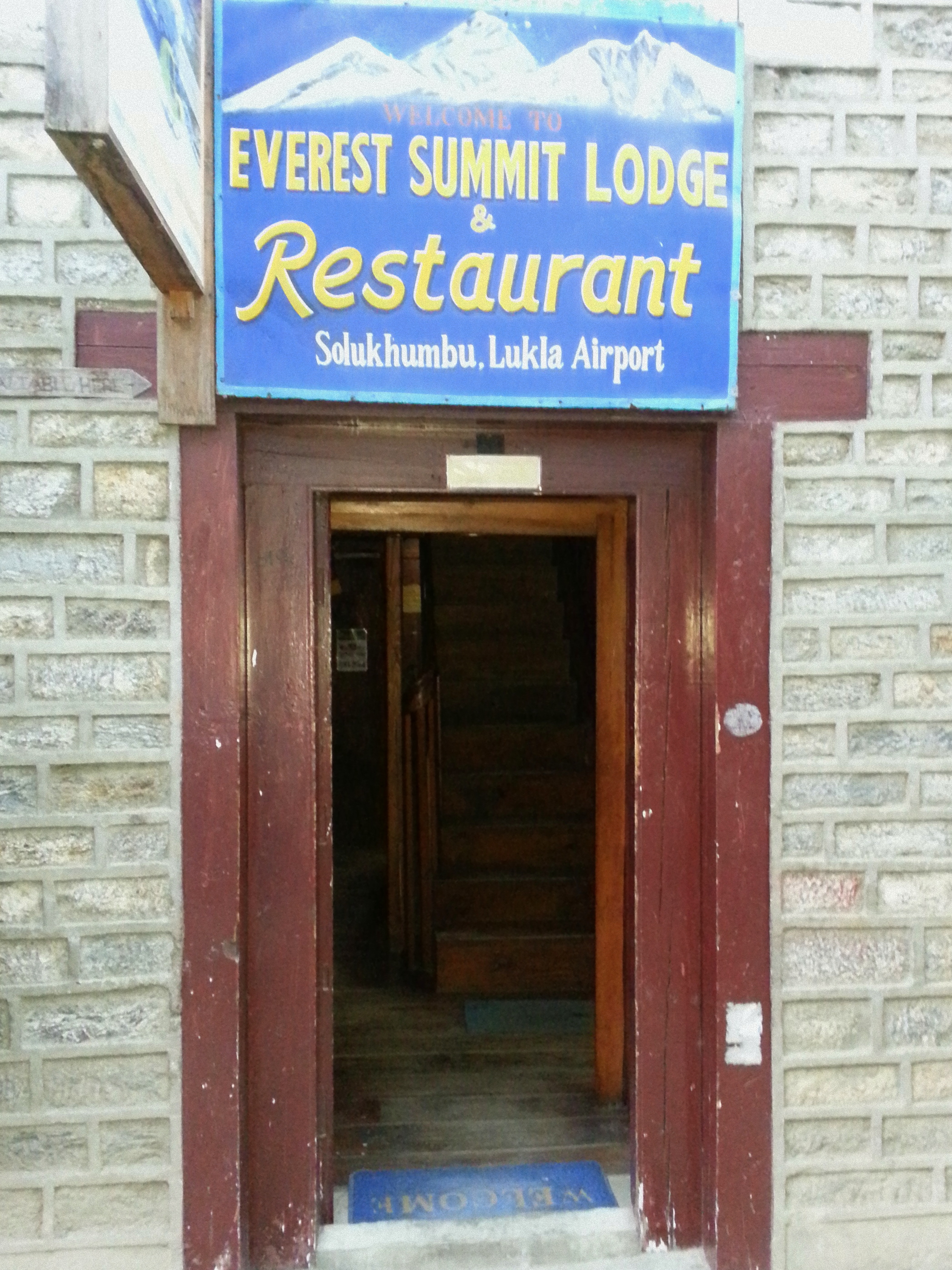
After a rest day in Lukla – spent watching the airport traffic, exploring the shops and visiting the German Bakery – the second phase of the tour began: the journey to Mera Peak.

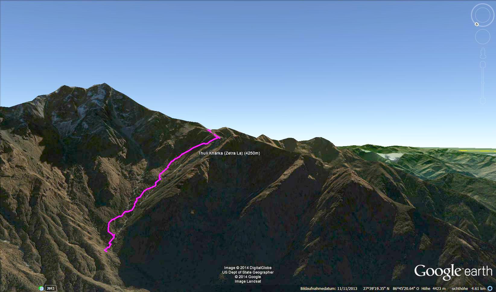
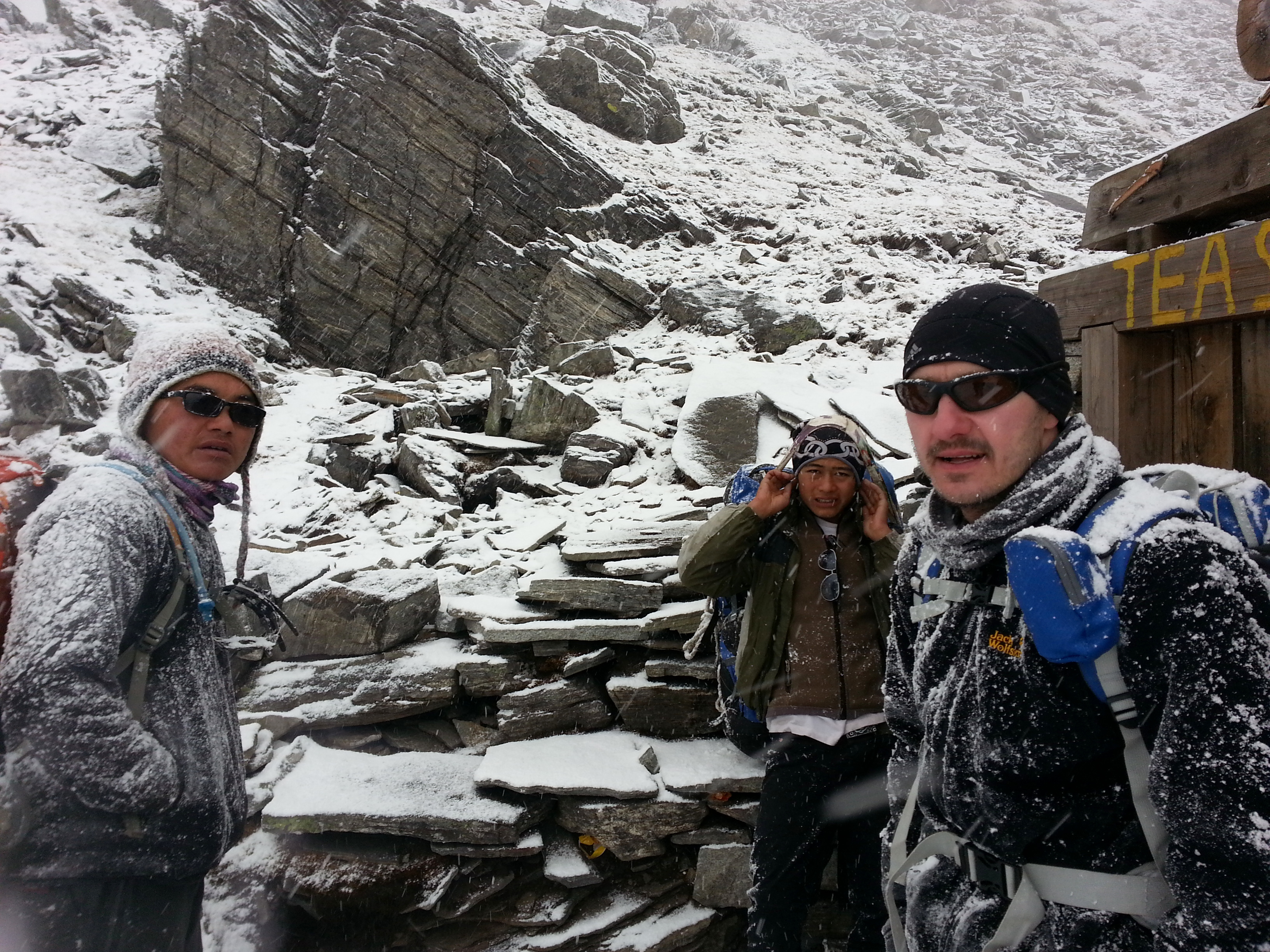
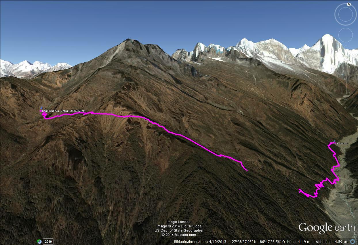
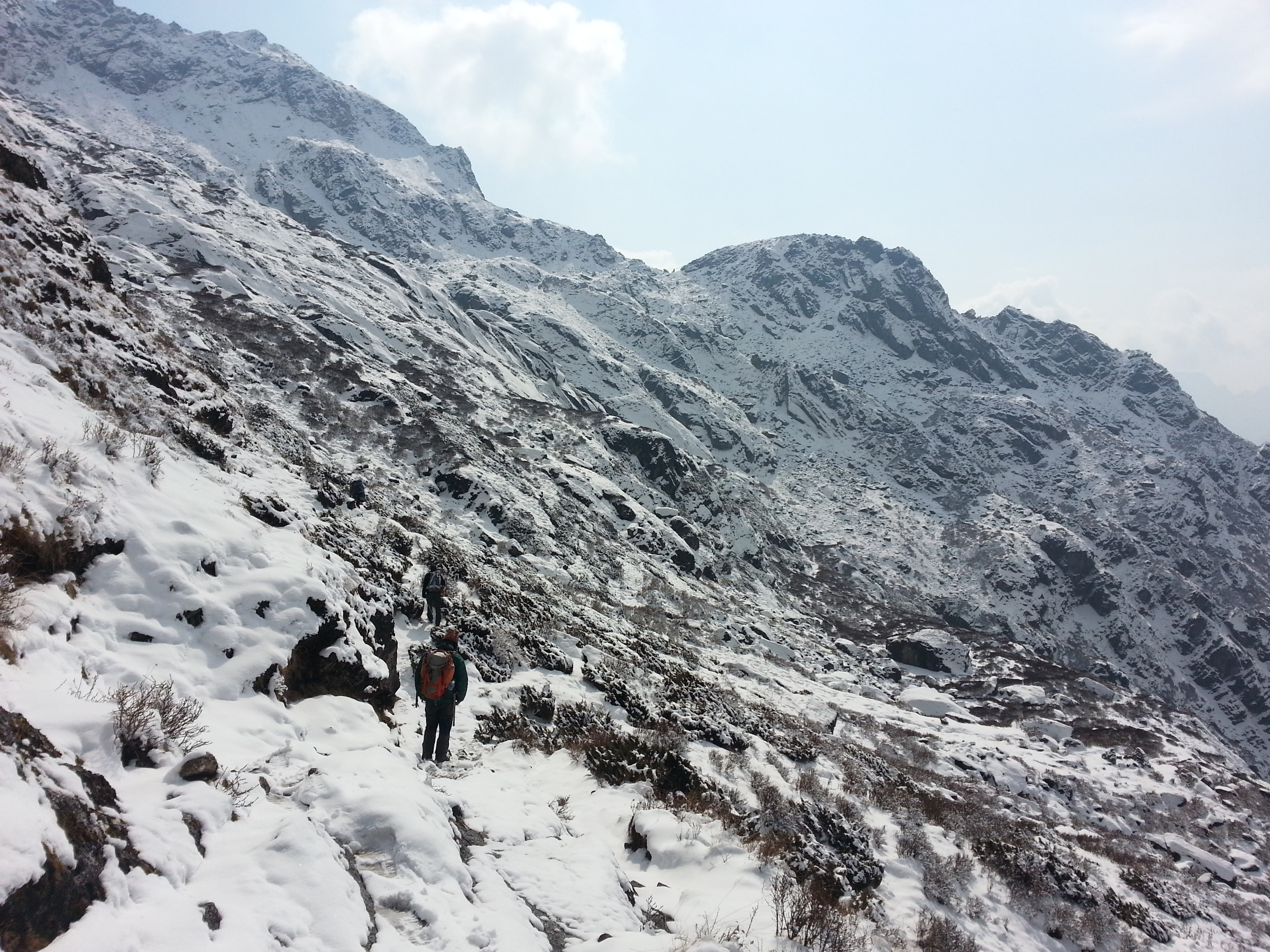
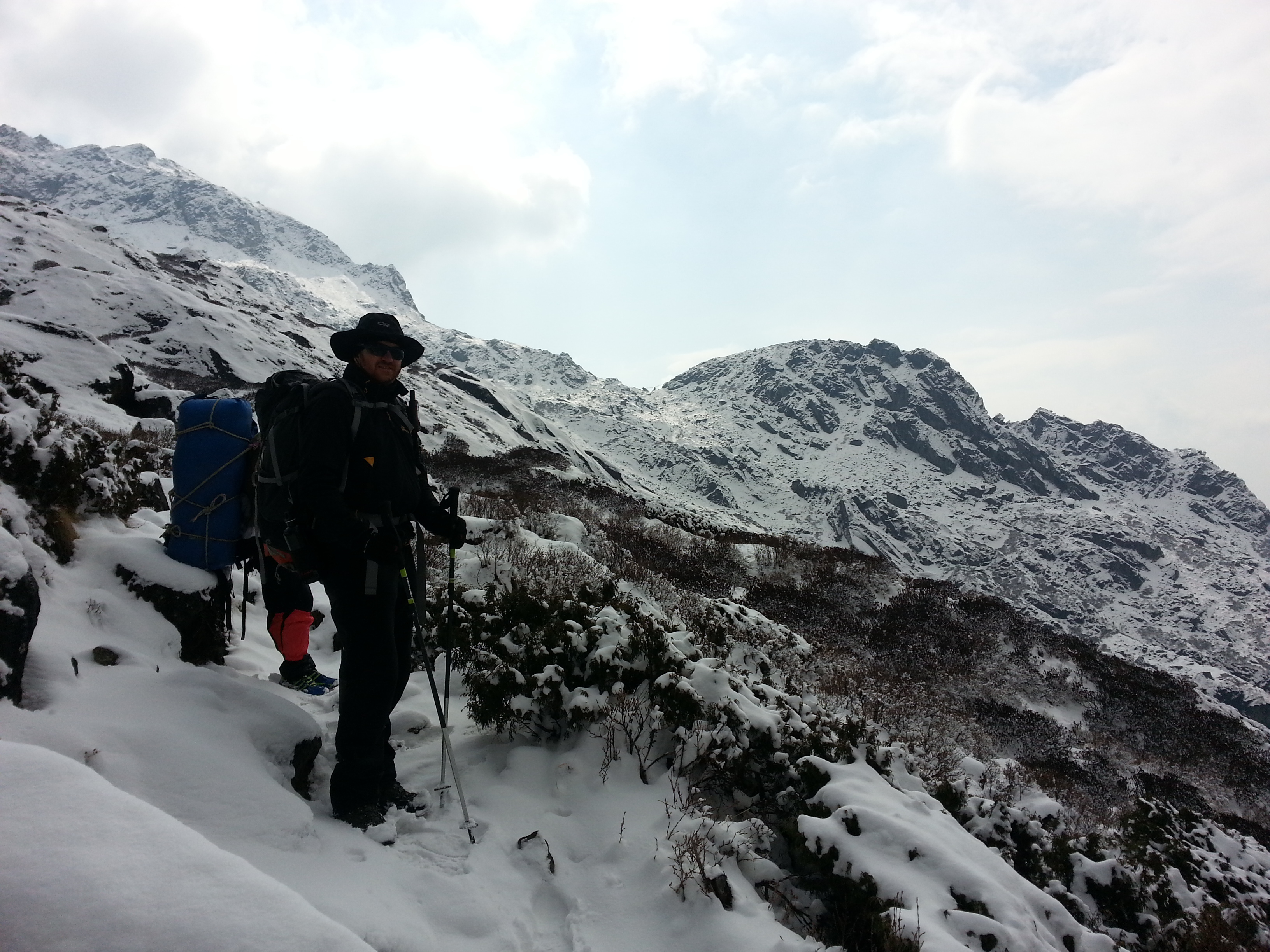
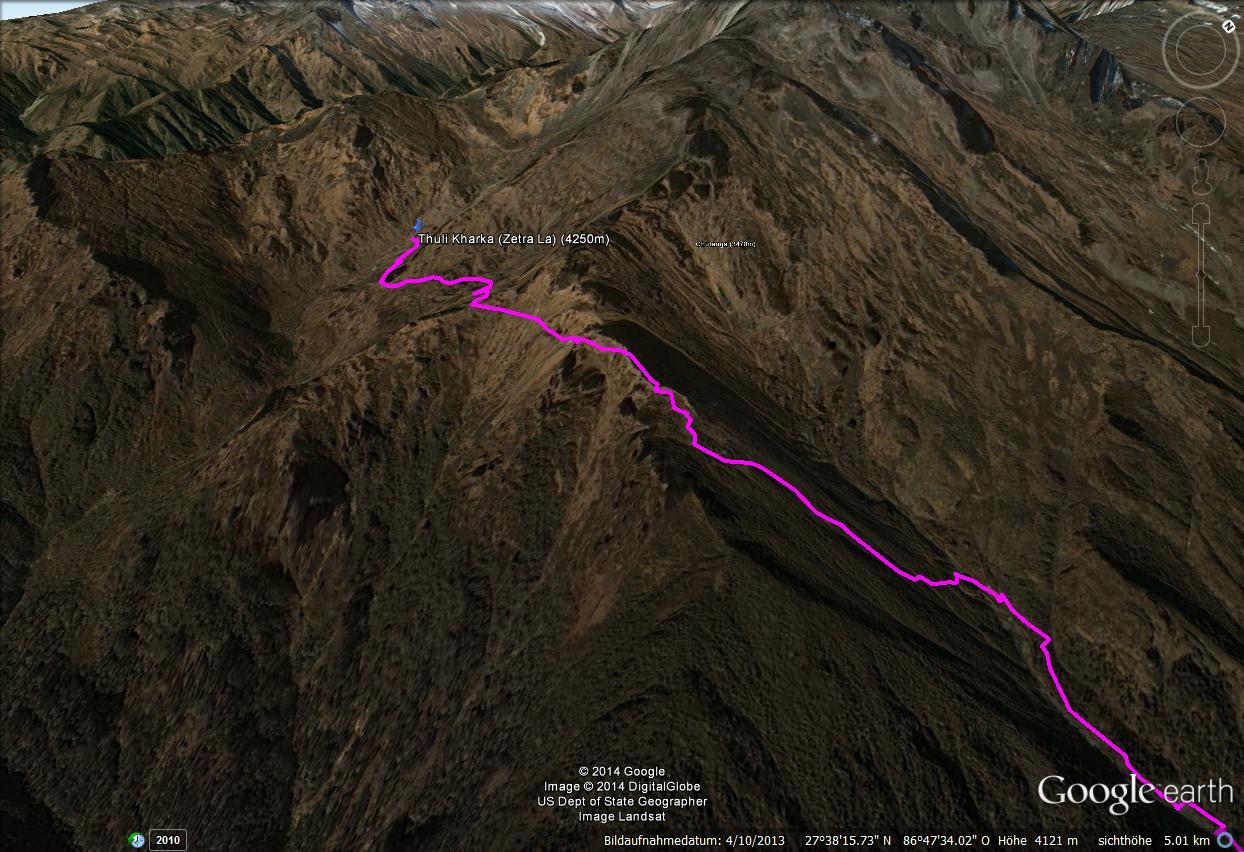
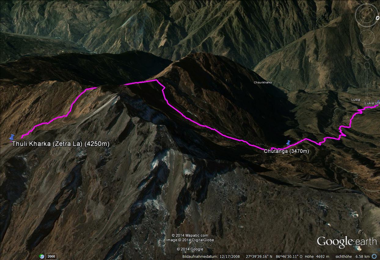
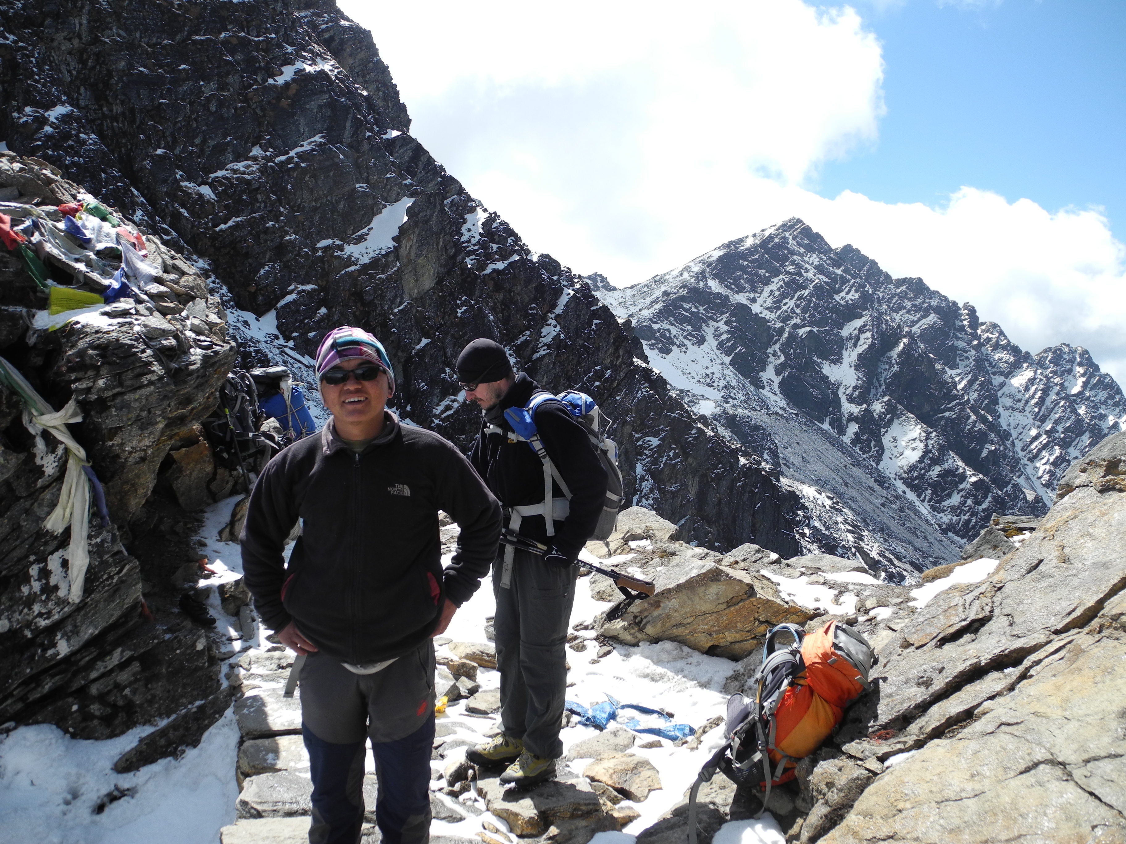
The Zetra La (Chetrala) Pass had featured only as a footnote in our planning, but the seven Austrian mountain rescuers we met at our overnight stop in Chutanga had nothing good to say about that section. Only two of them had reached the summit of Mera Peak three days earlier. We refused to let their horror stories get us down, and the next day we set off in good spirits on the steep path.

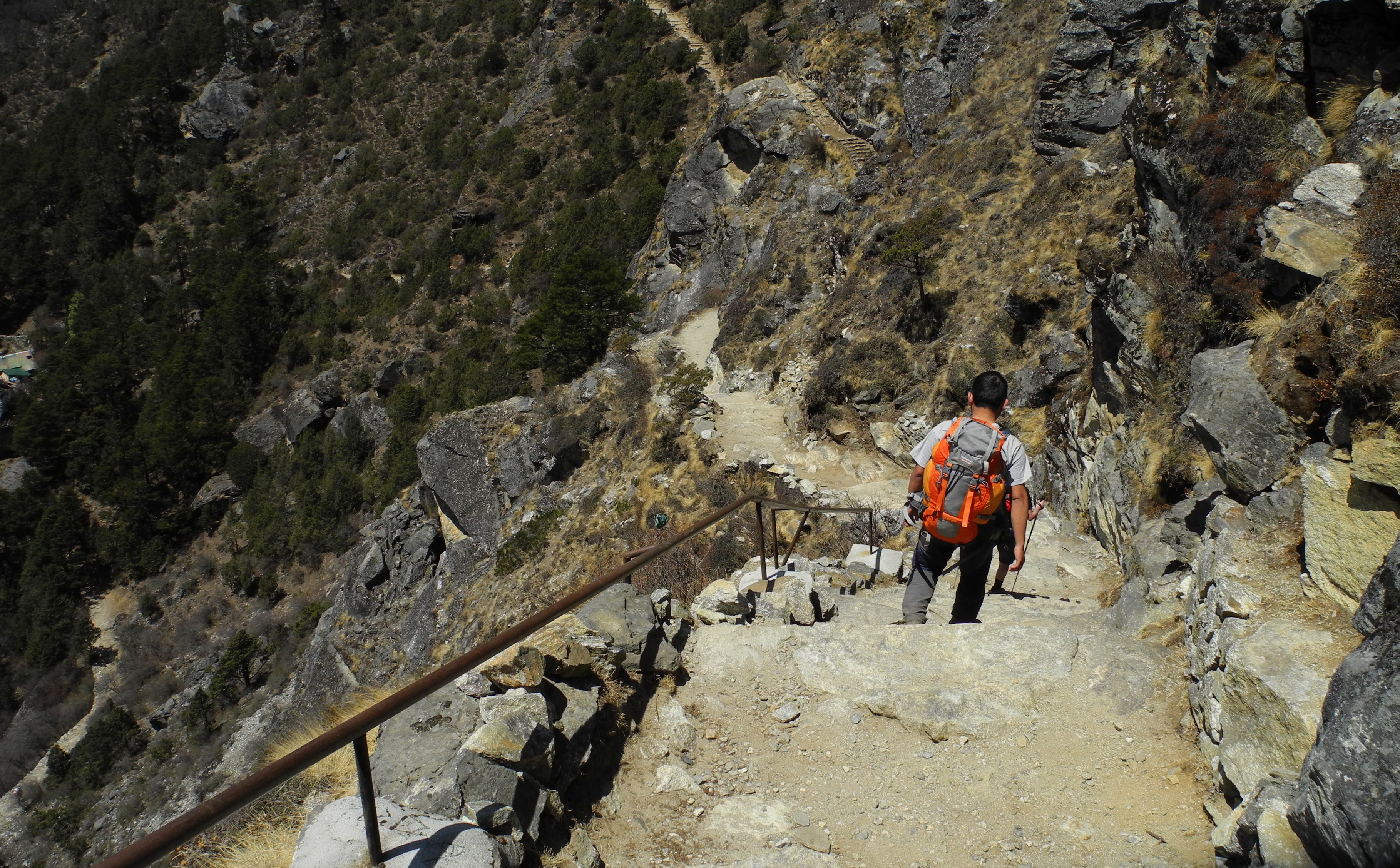
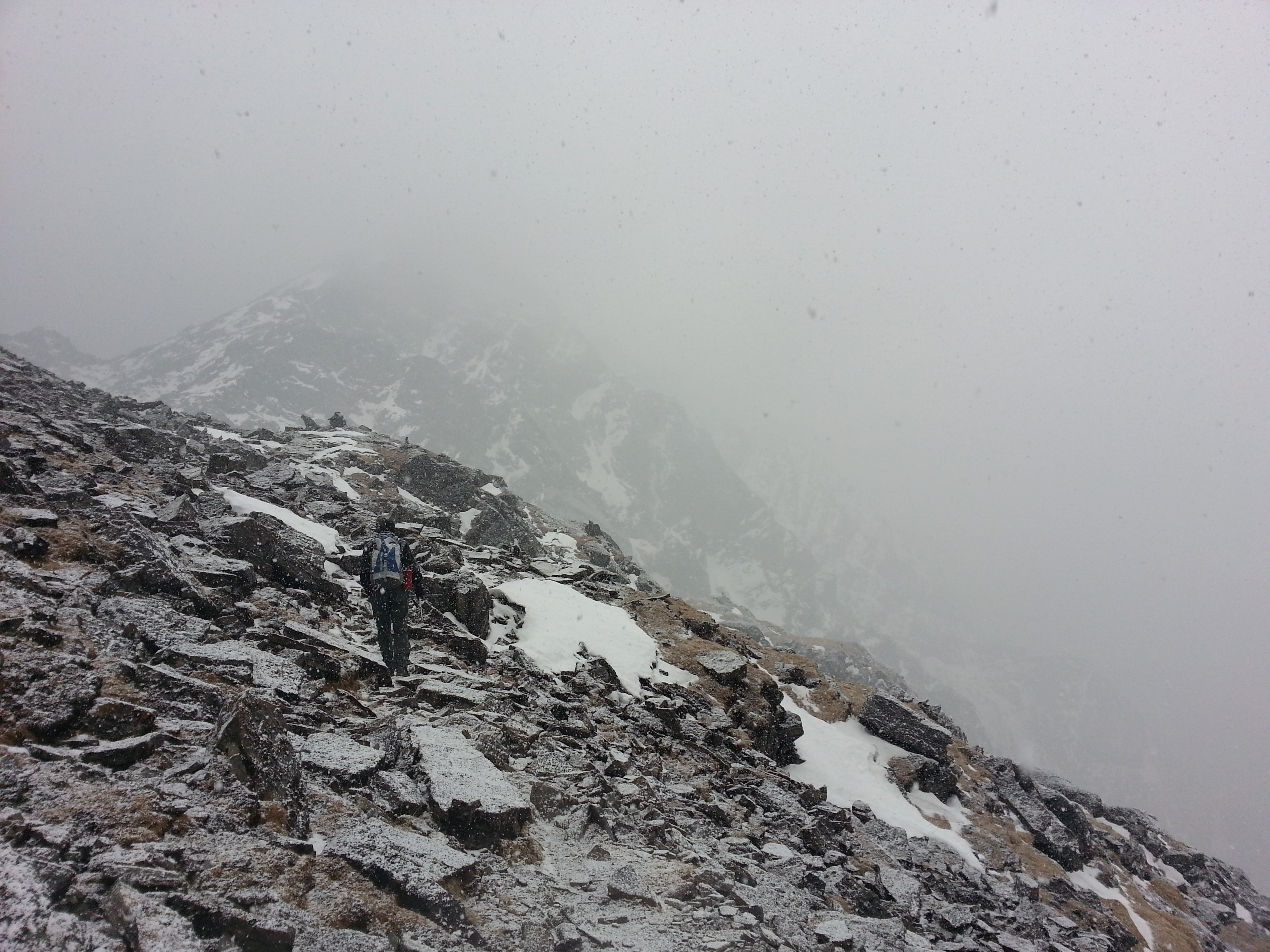
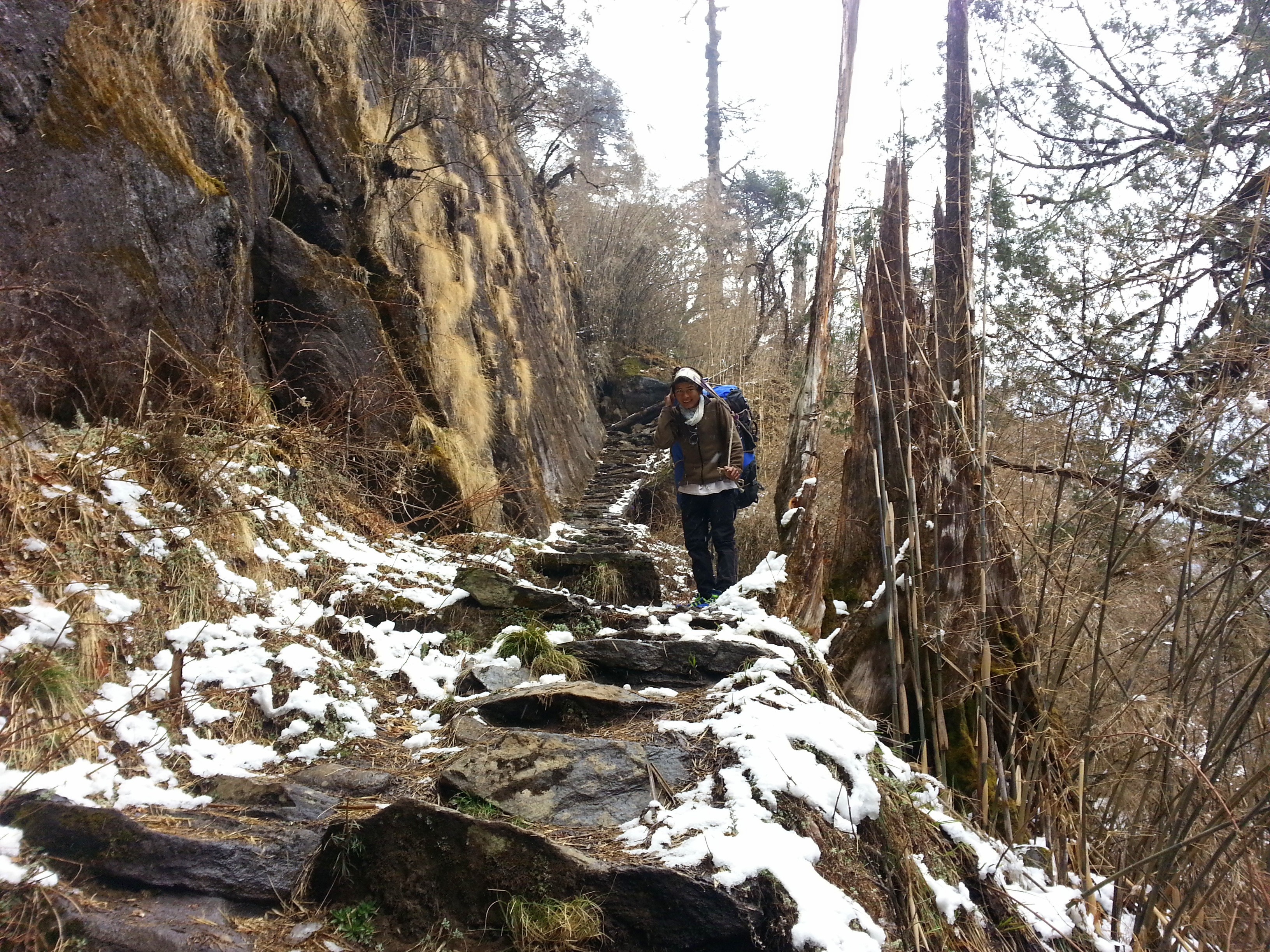
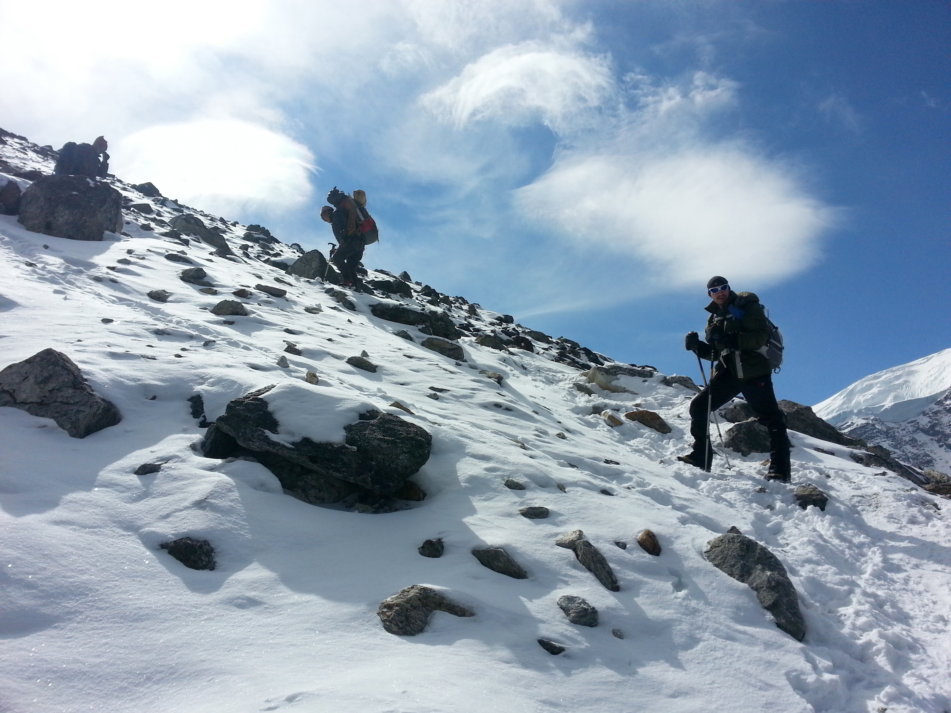
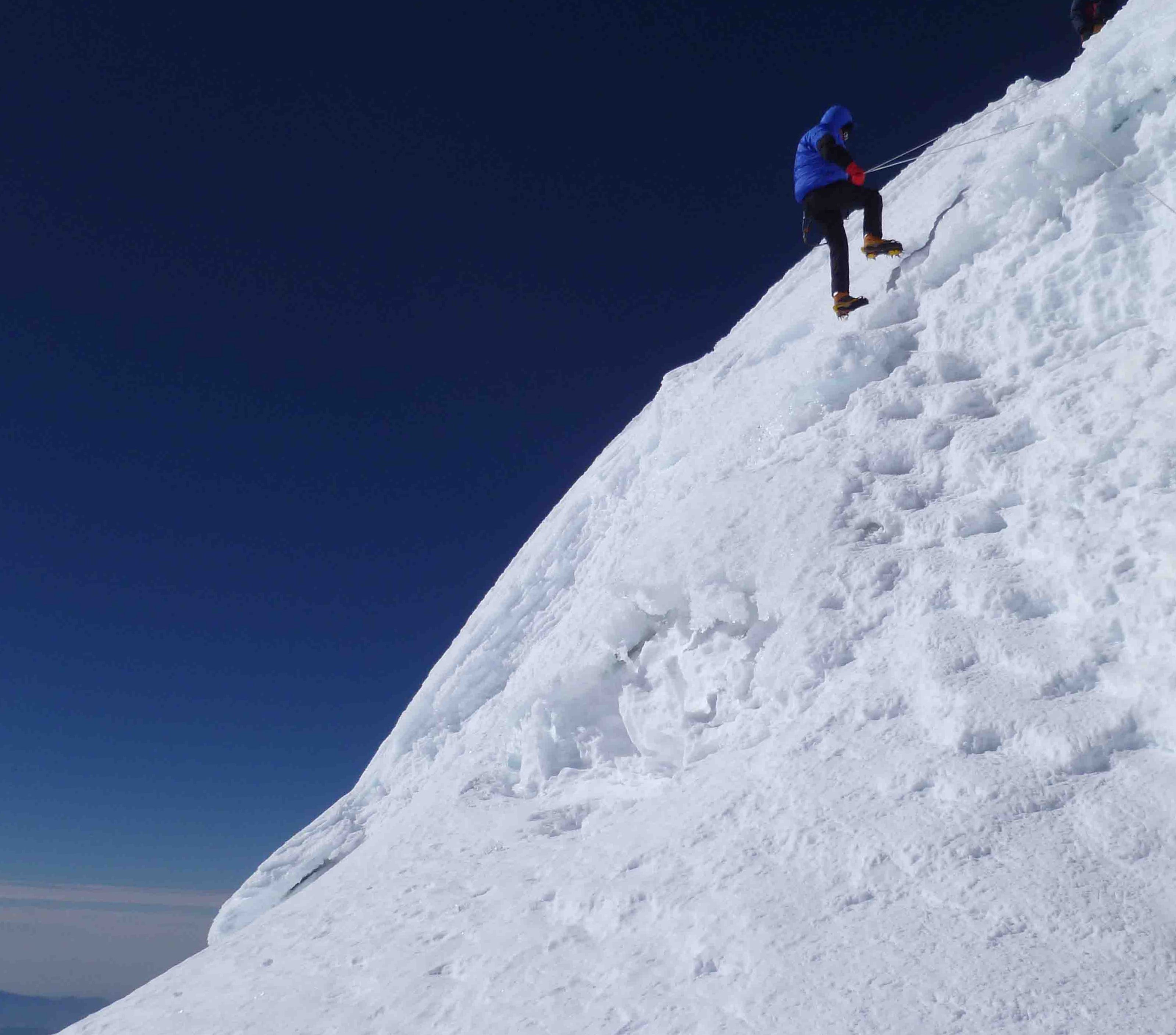
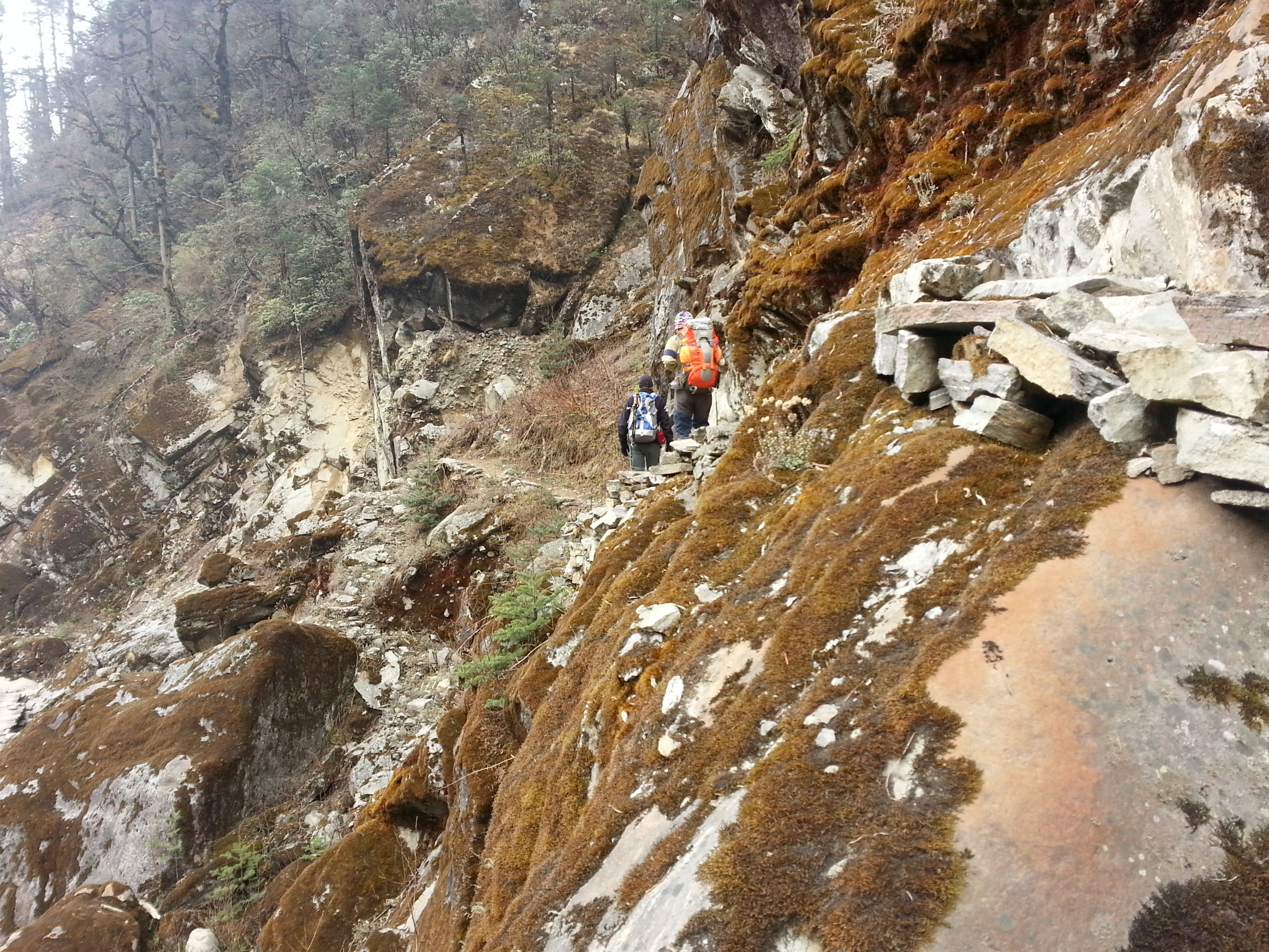
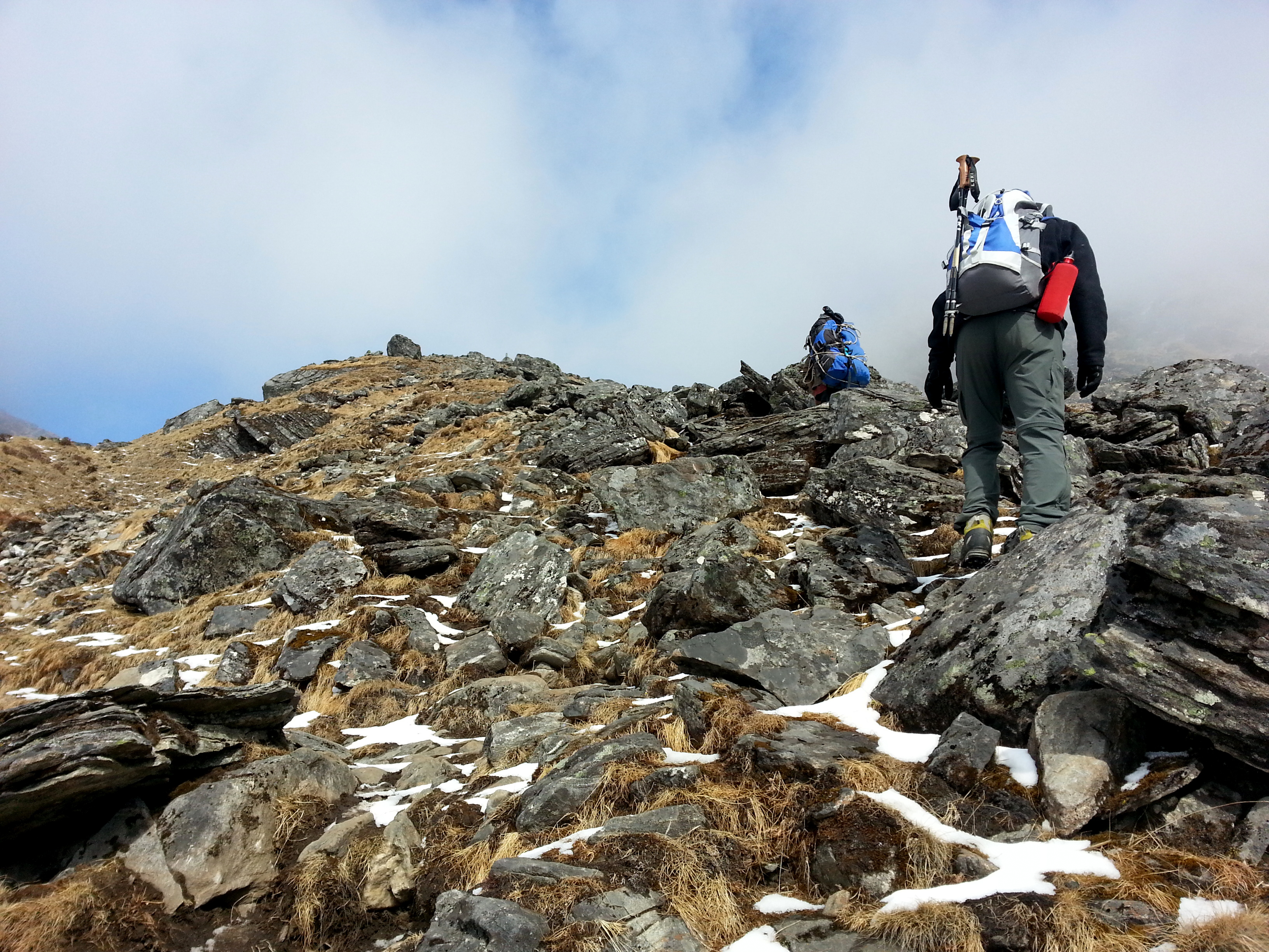
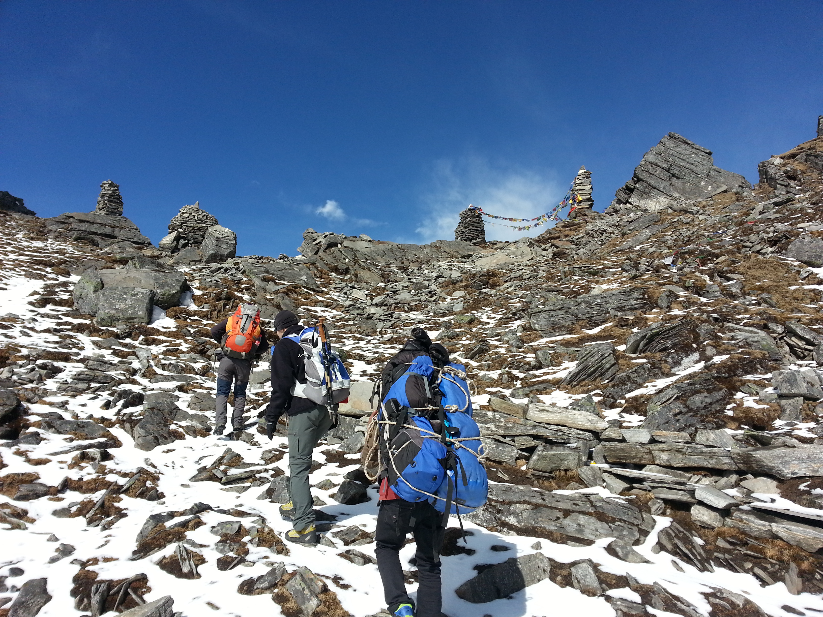
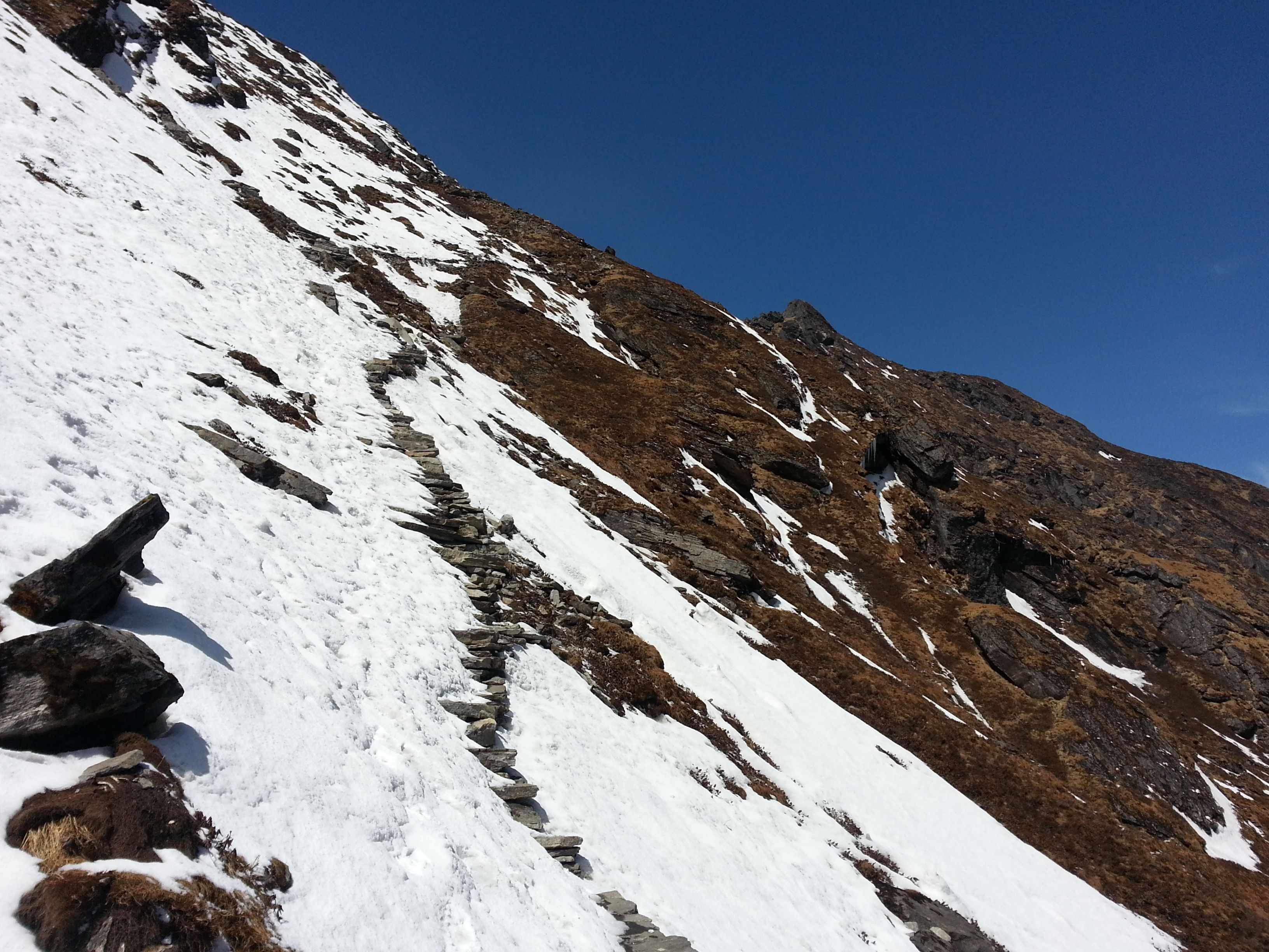
The ascent to the pass went on endlessly. Above 4,000 metres the path became increasingly steep and was permanently iced. Every step had to be carefully considered, and there was a serious drop below. We asked ourselves more than once why we hadn’t packed crampons. Our guide Surcha was better prepared – he had them. Our porter Milan, however, was in trainers.

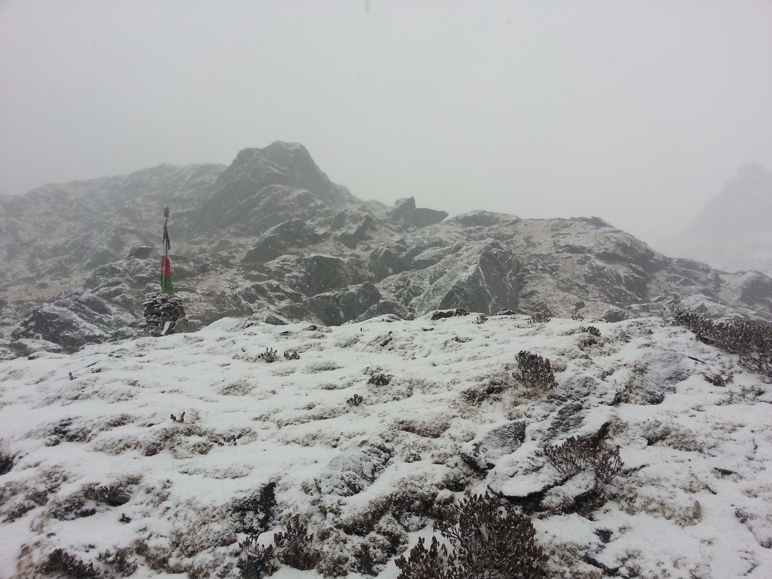
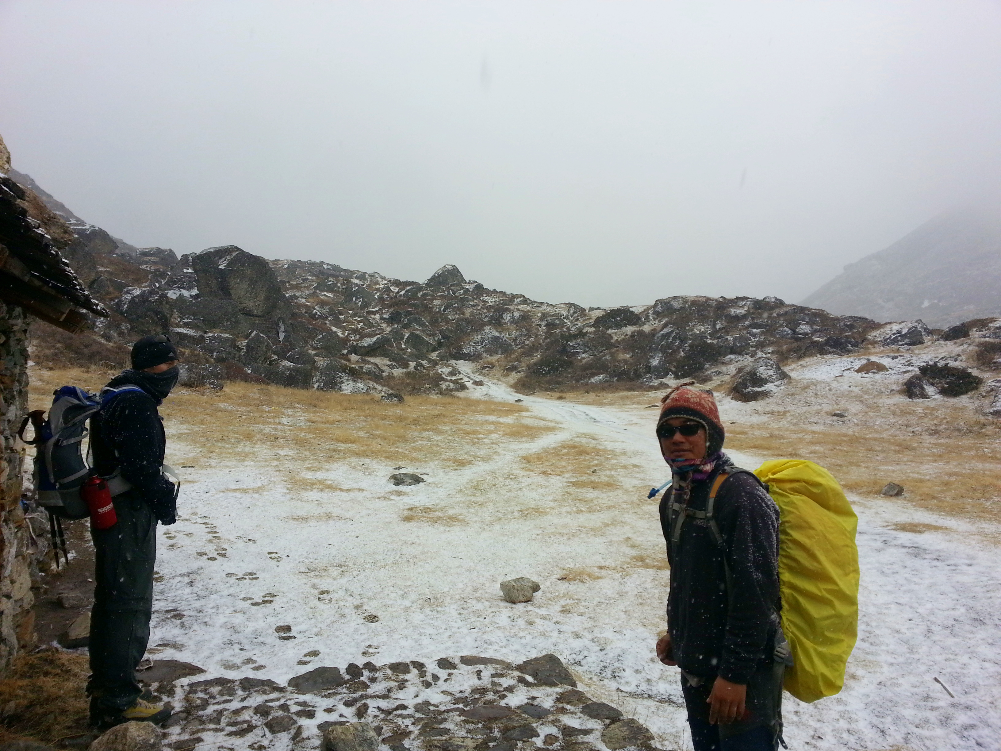
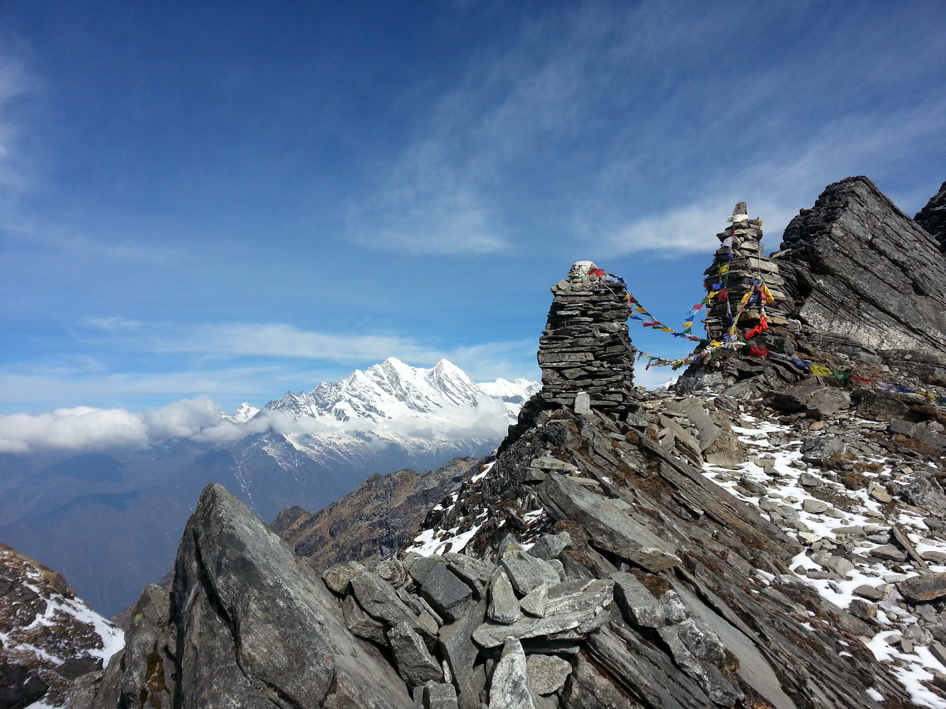
When we reached the pass at around 4,600 m, just how close the call had been became clear: a thunderstorm followed by a snow squall rolled in, and the two-hour walk to the next lodge was accompanied by more than a little unease. From this point the weather had definitively turned.

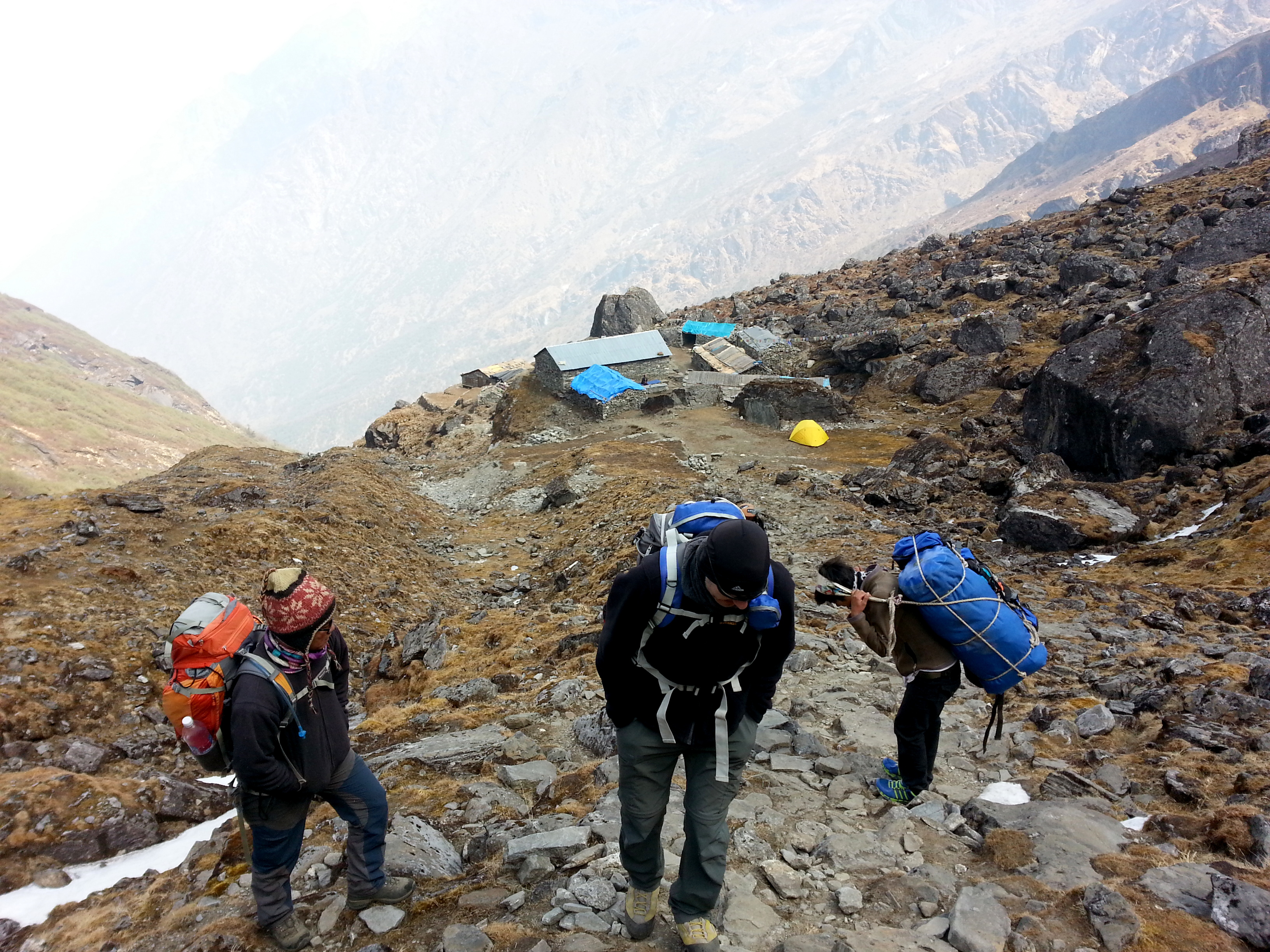
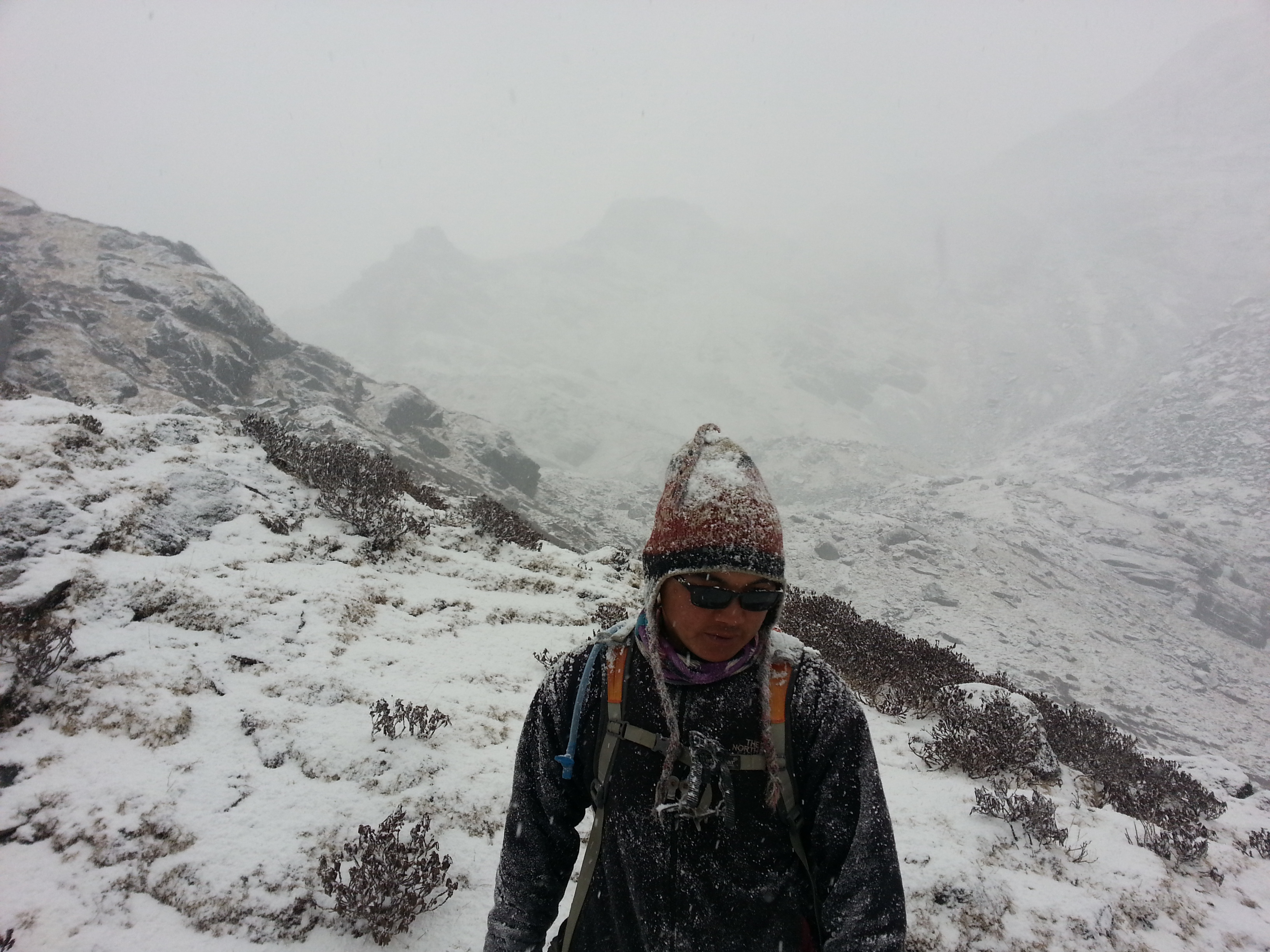
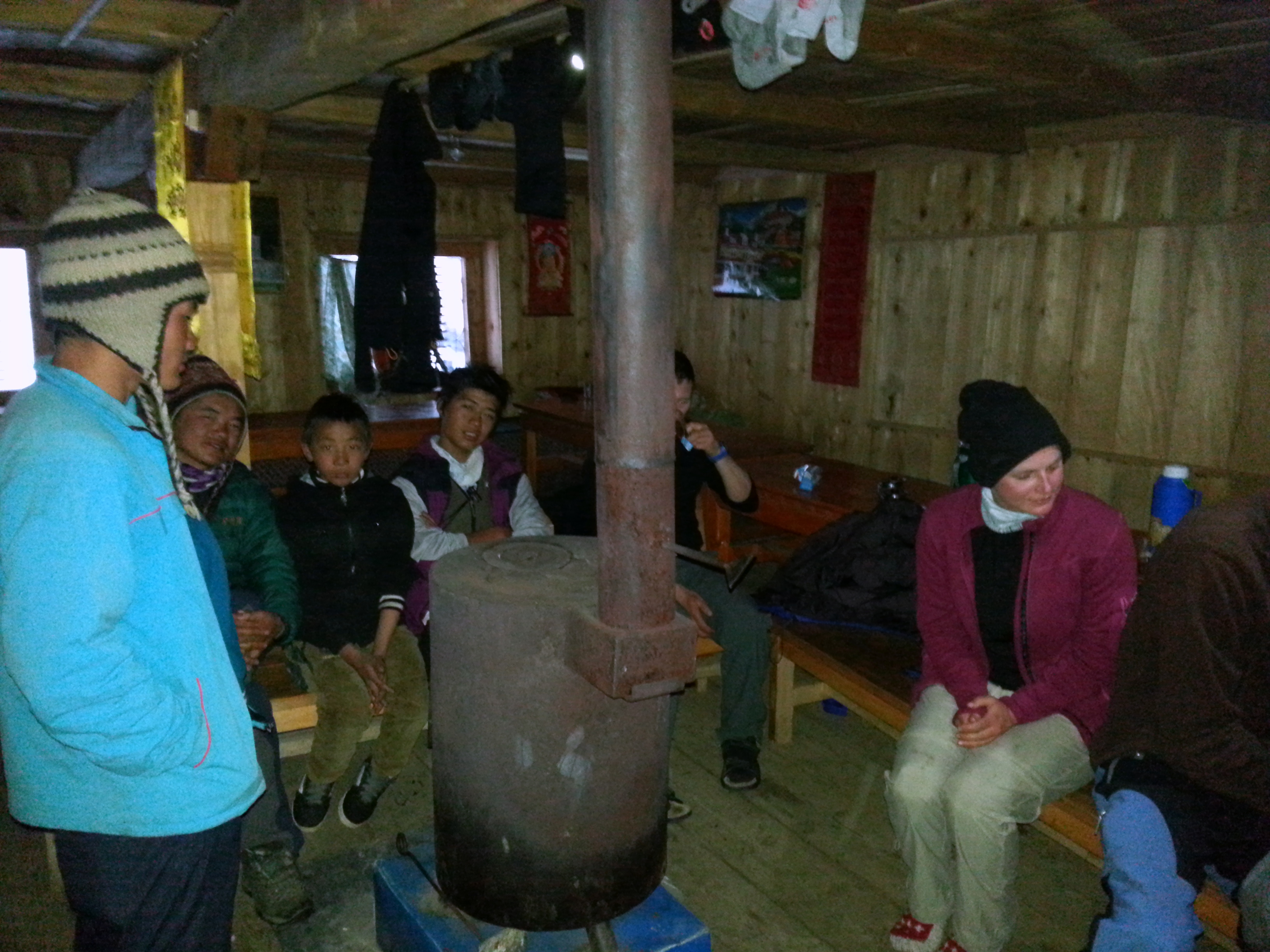
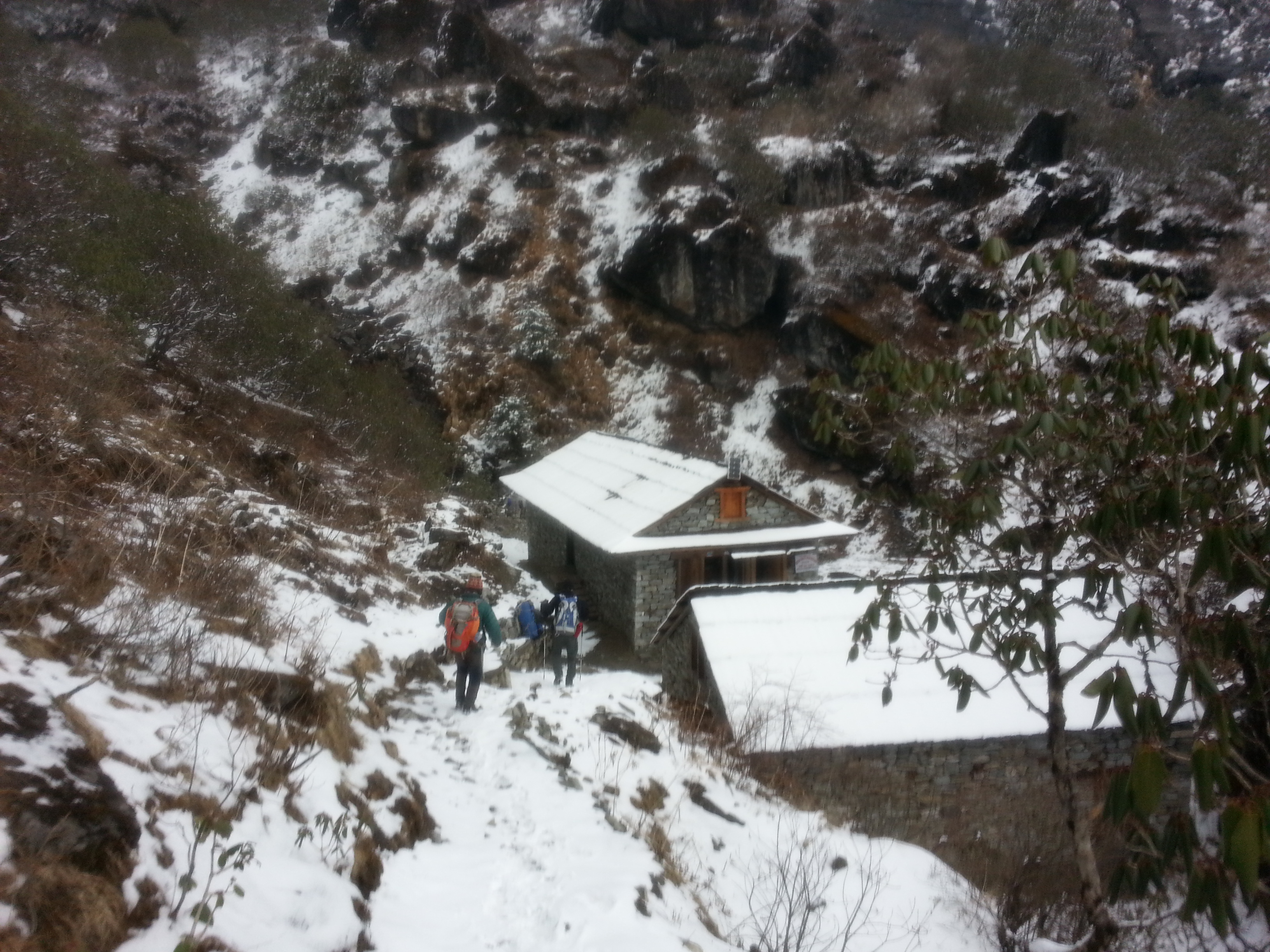
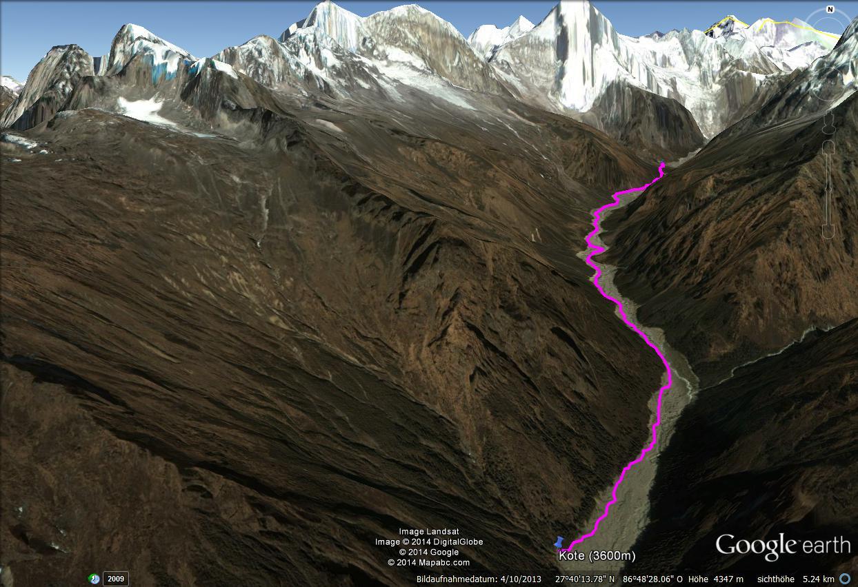
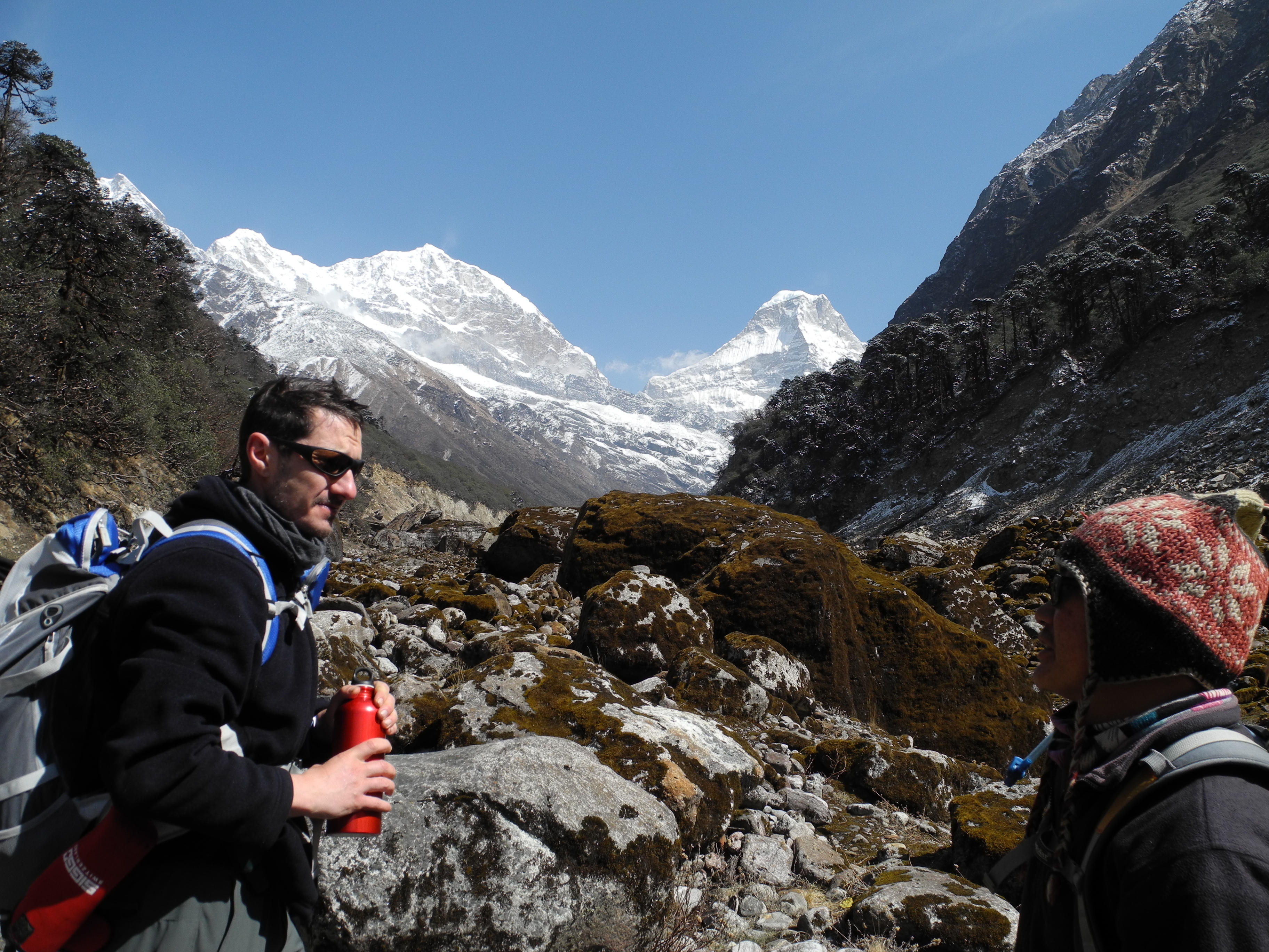
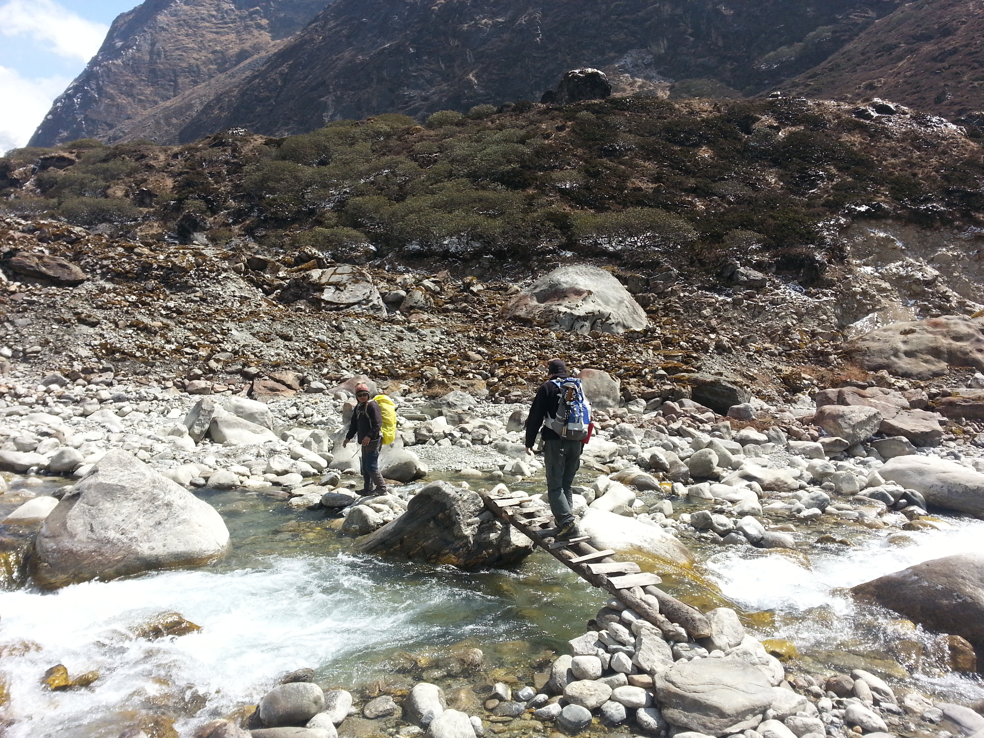
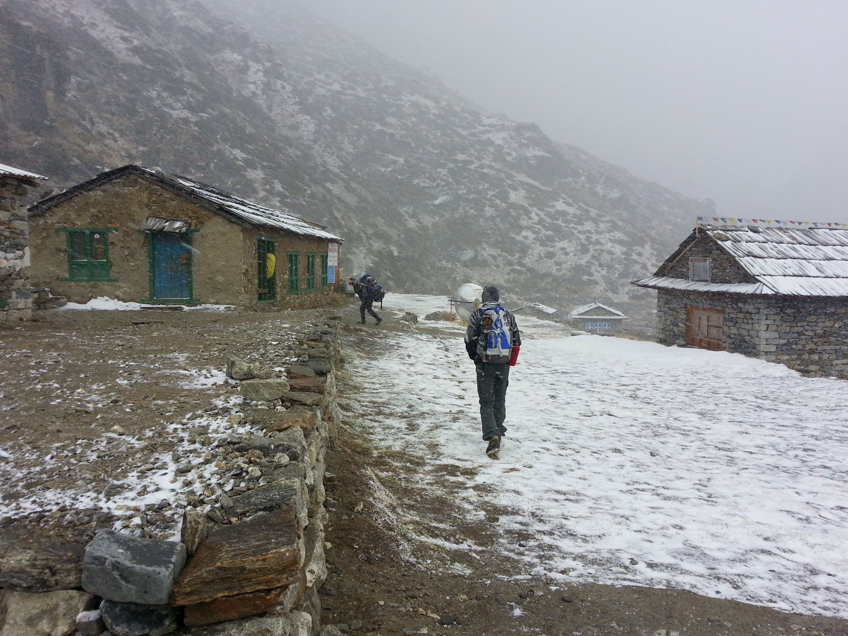
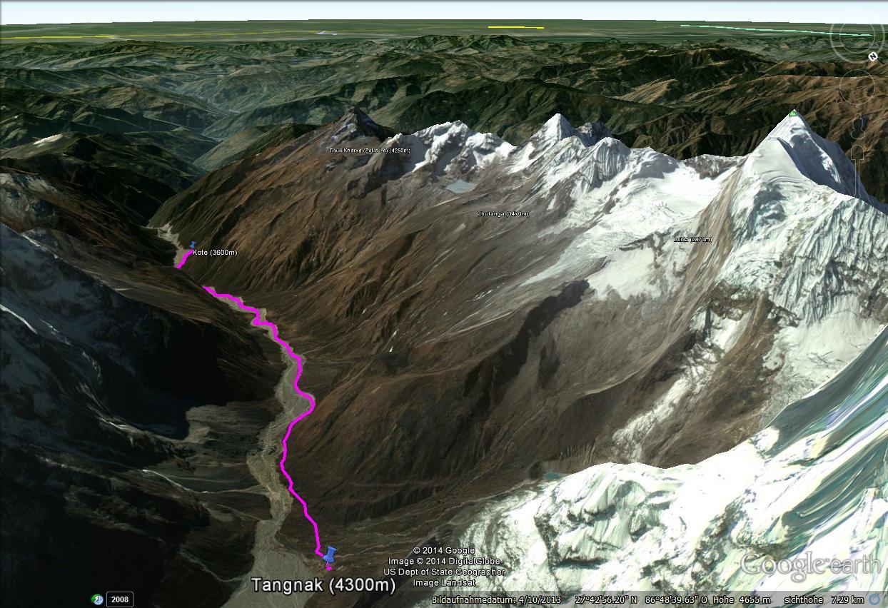
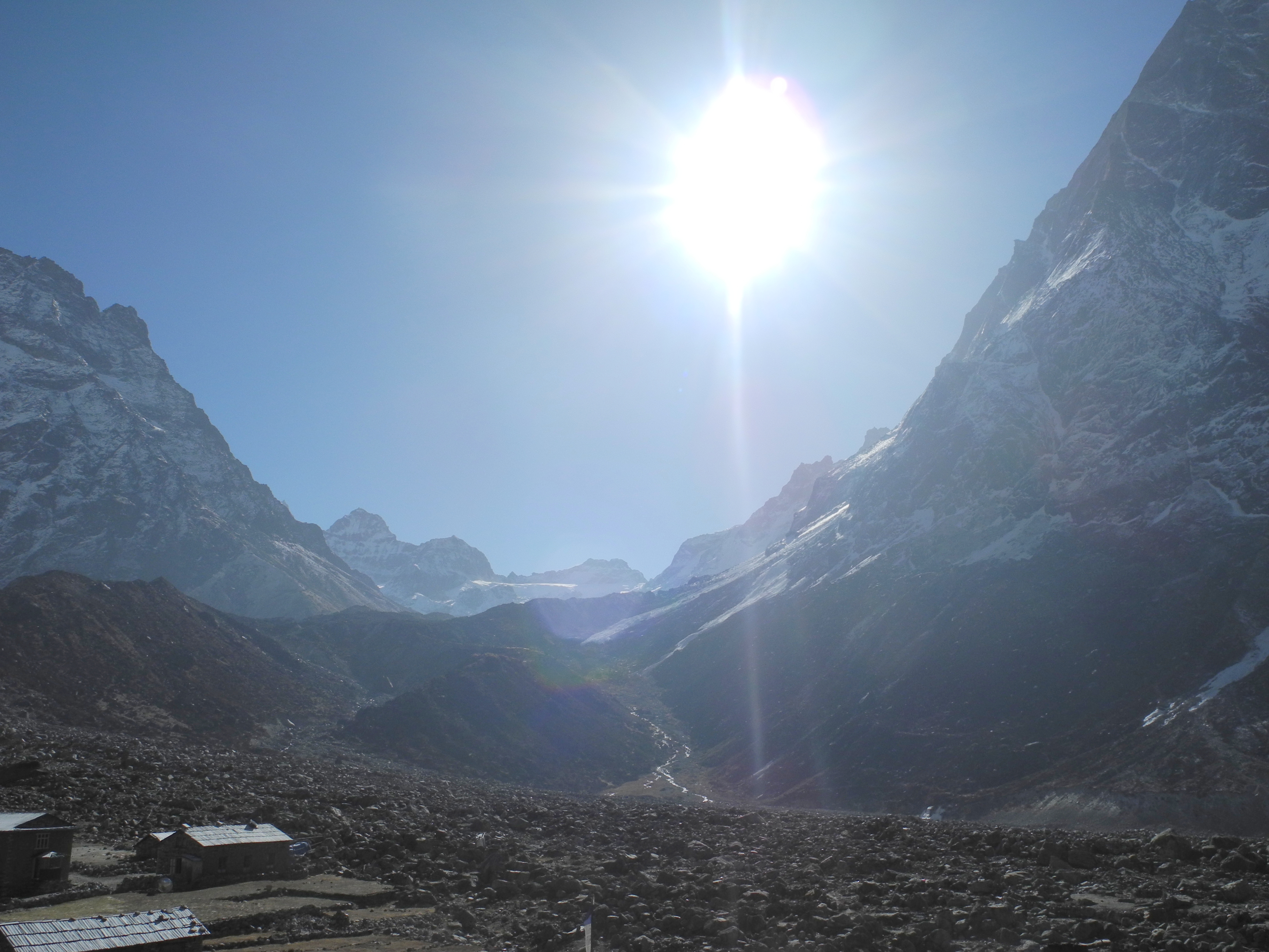
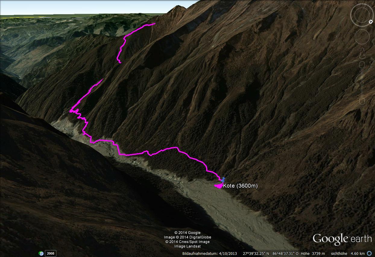
The next day we trudged through the snow down to Khote, and the day after that up through the enormous river bed to Tangnag, where we met our climbing guide Lakba Sherpa. The weather had deteriorated noticeably over the last few days, and we heard that nobody had reached the summit for several days. Some roped parties were stuck; others had had to turn back. The mood was understandably tense.

The full-moon night before our ascent to the Khare Base Camp was clear again – and incidentally one of the most beautiful nights I have ever experienced.

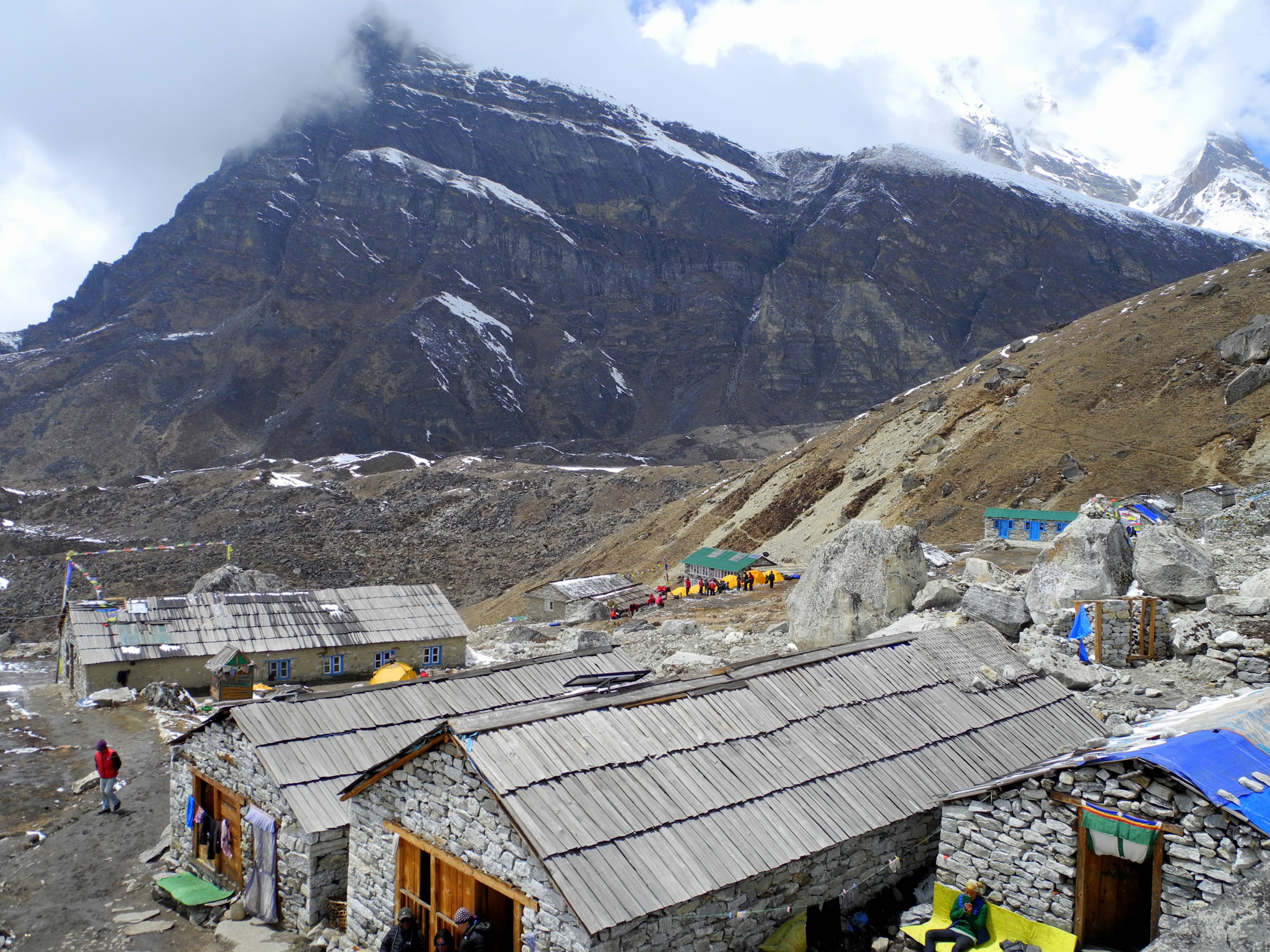
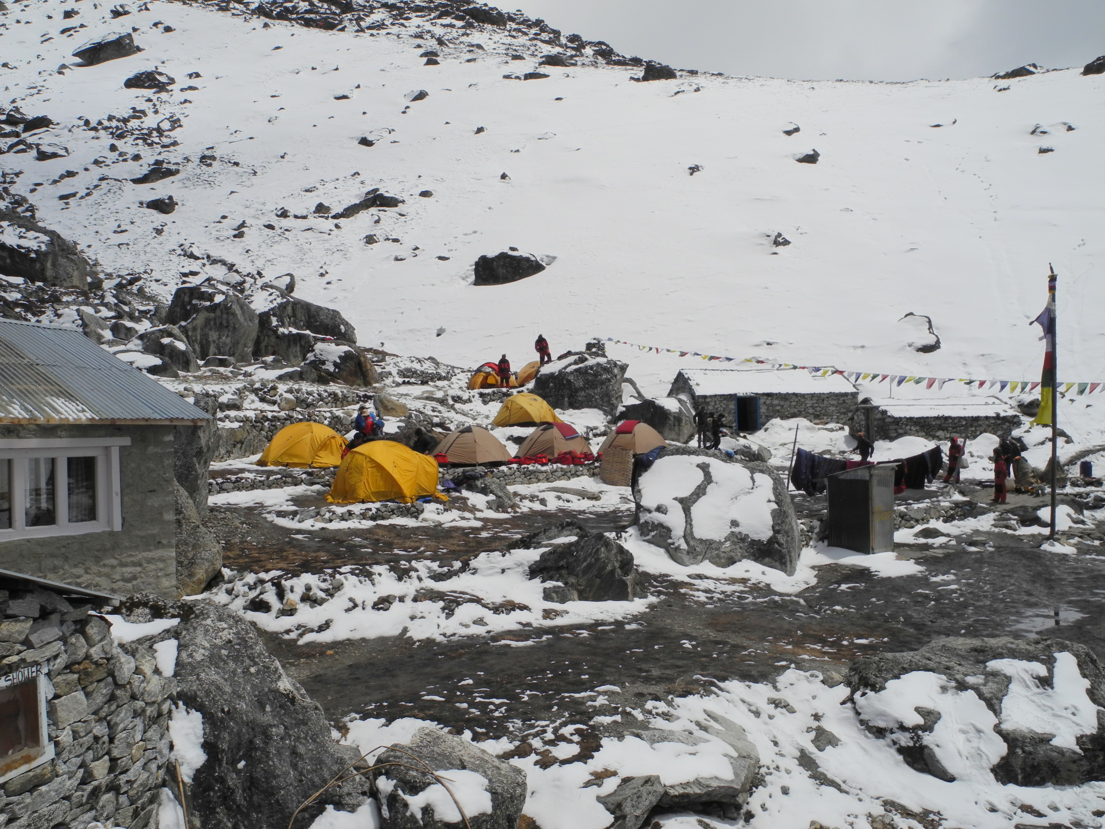
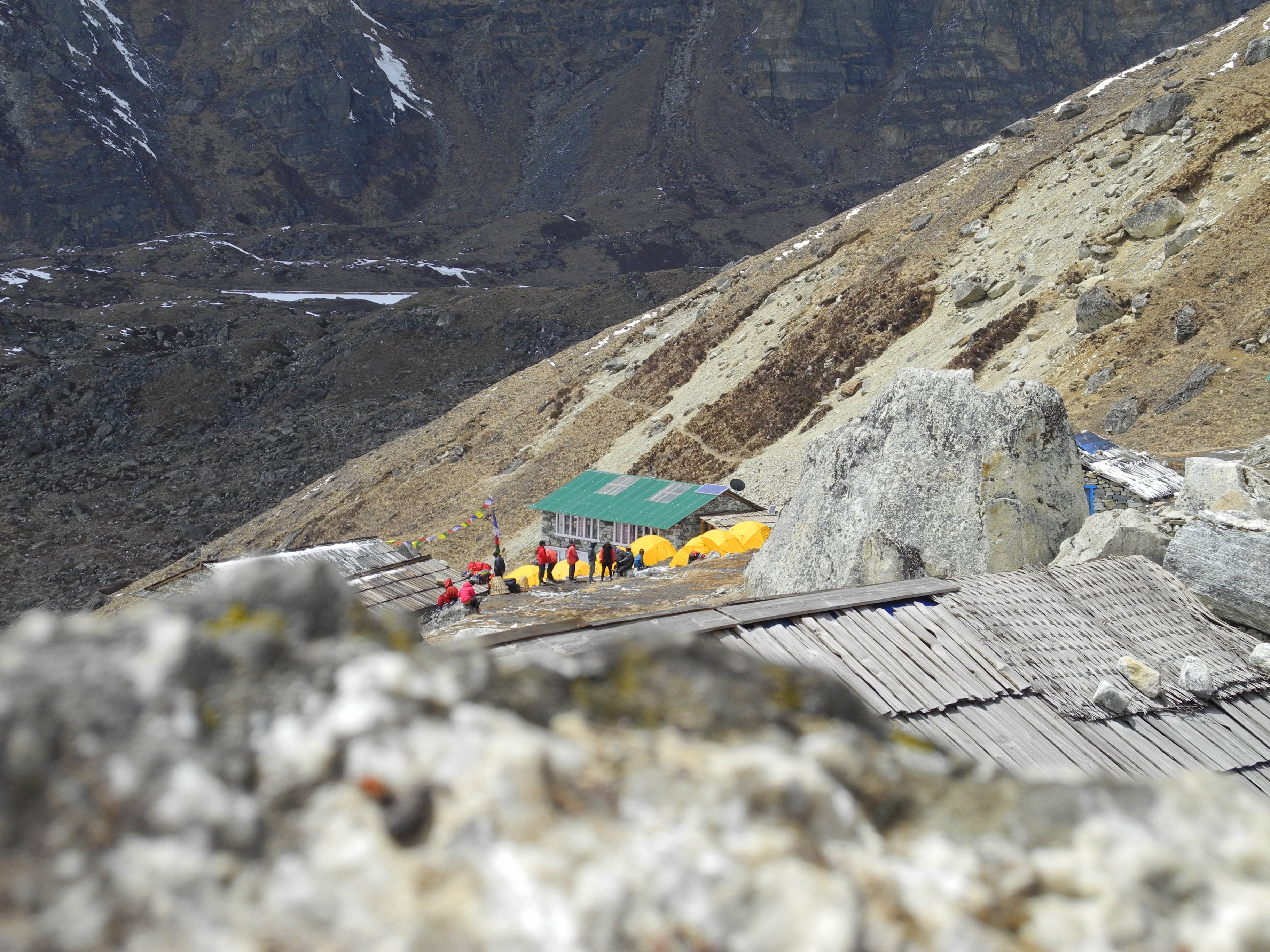
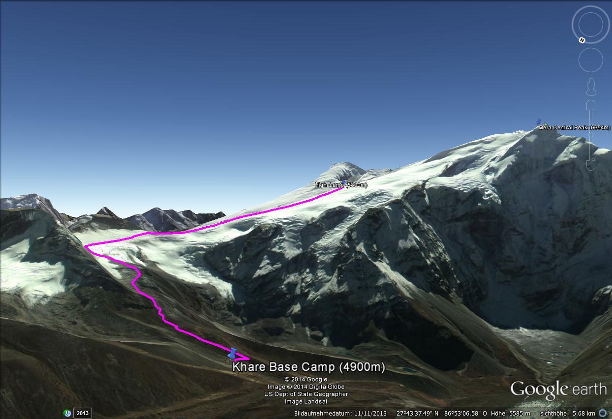
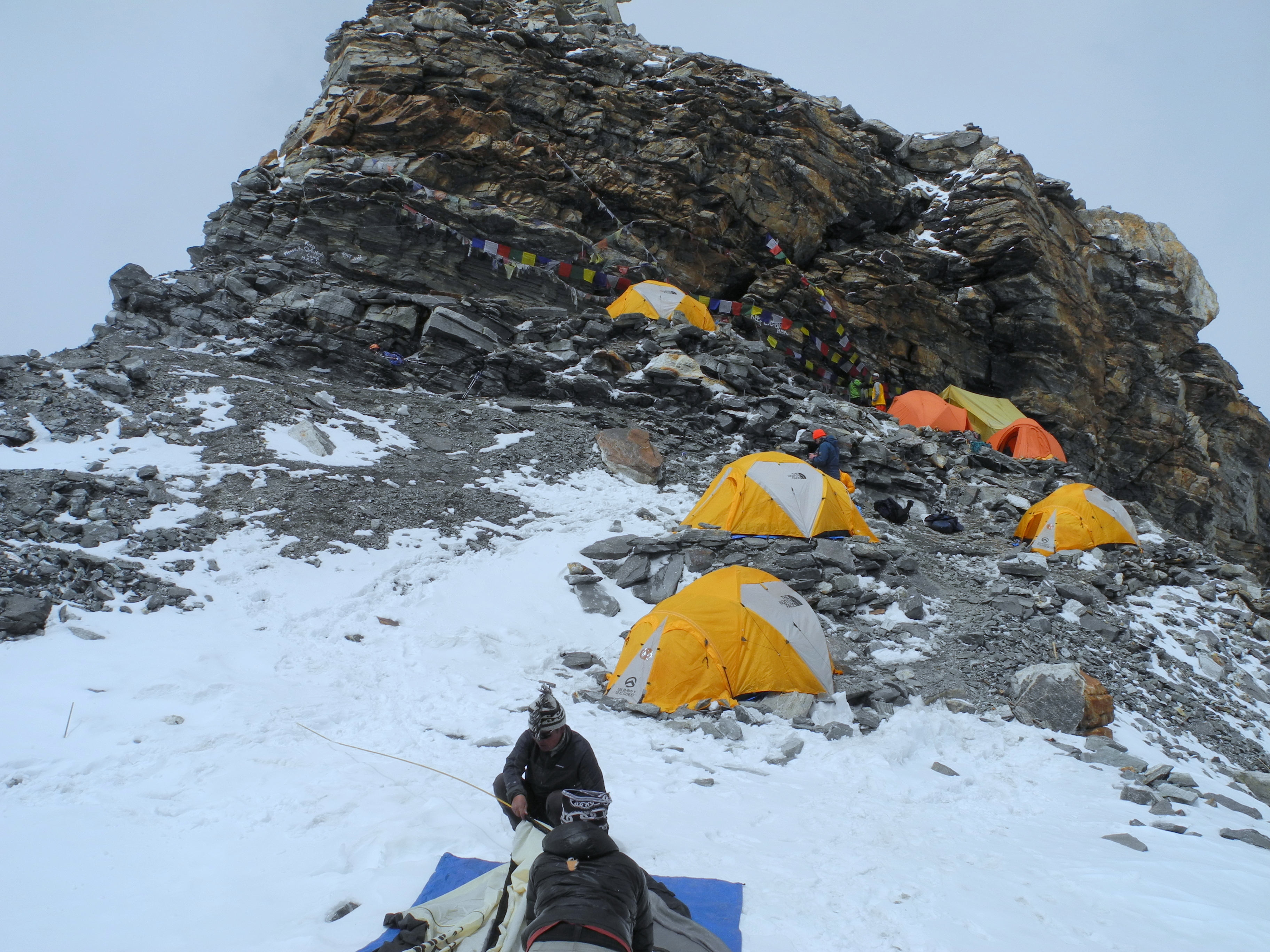
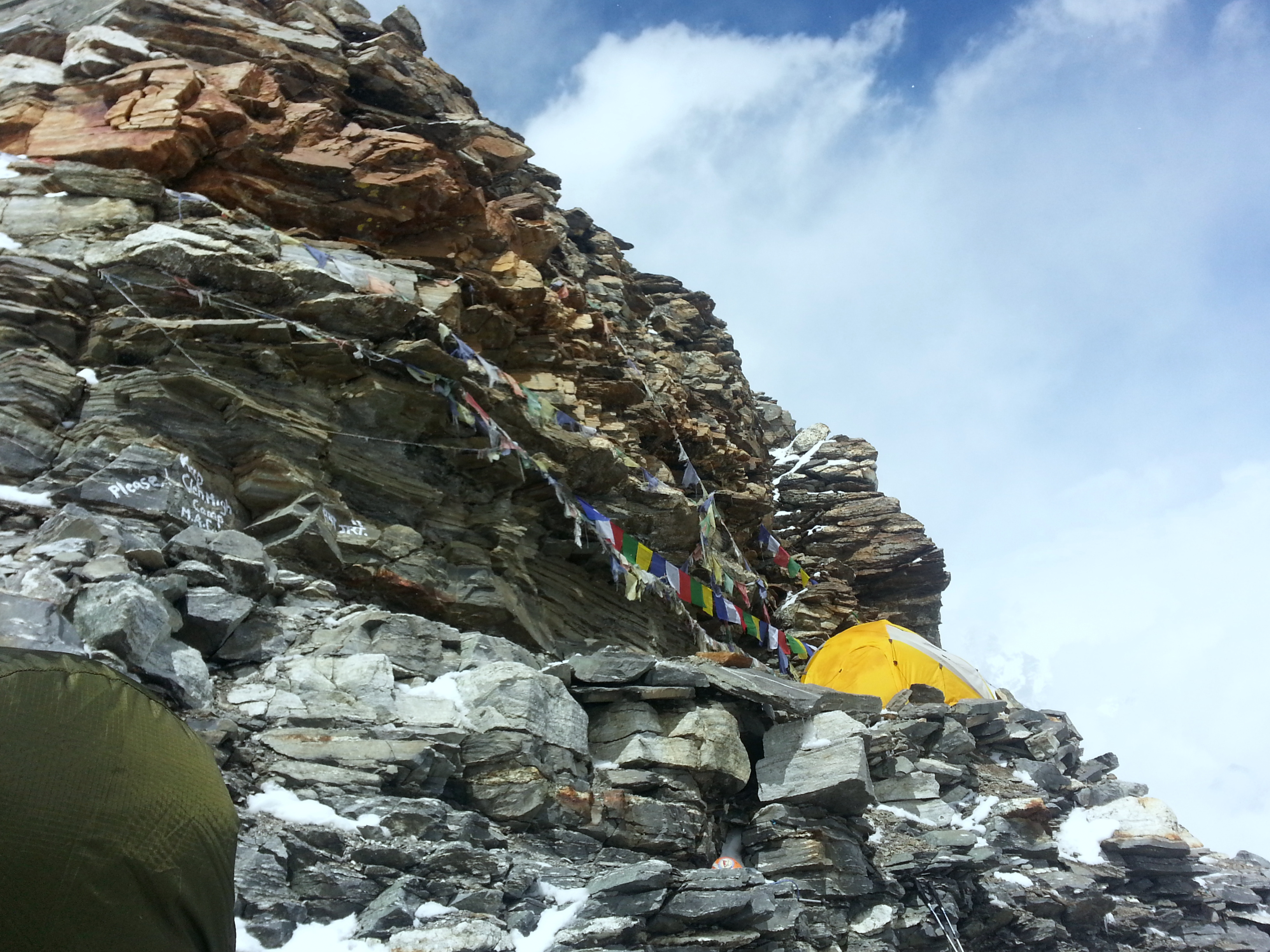
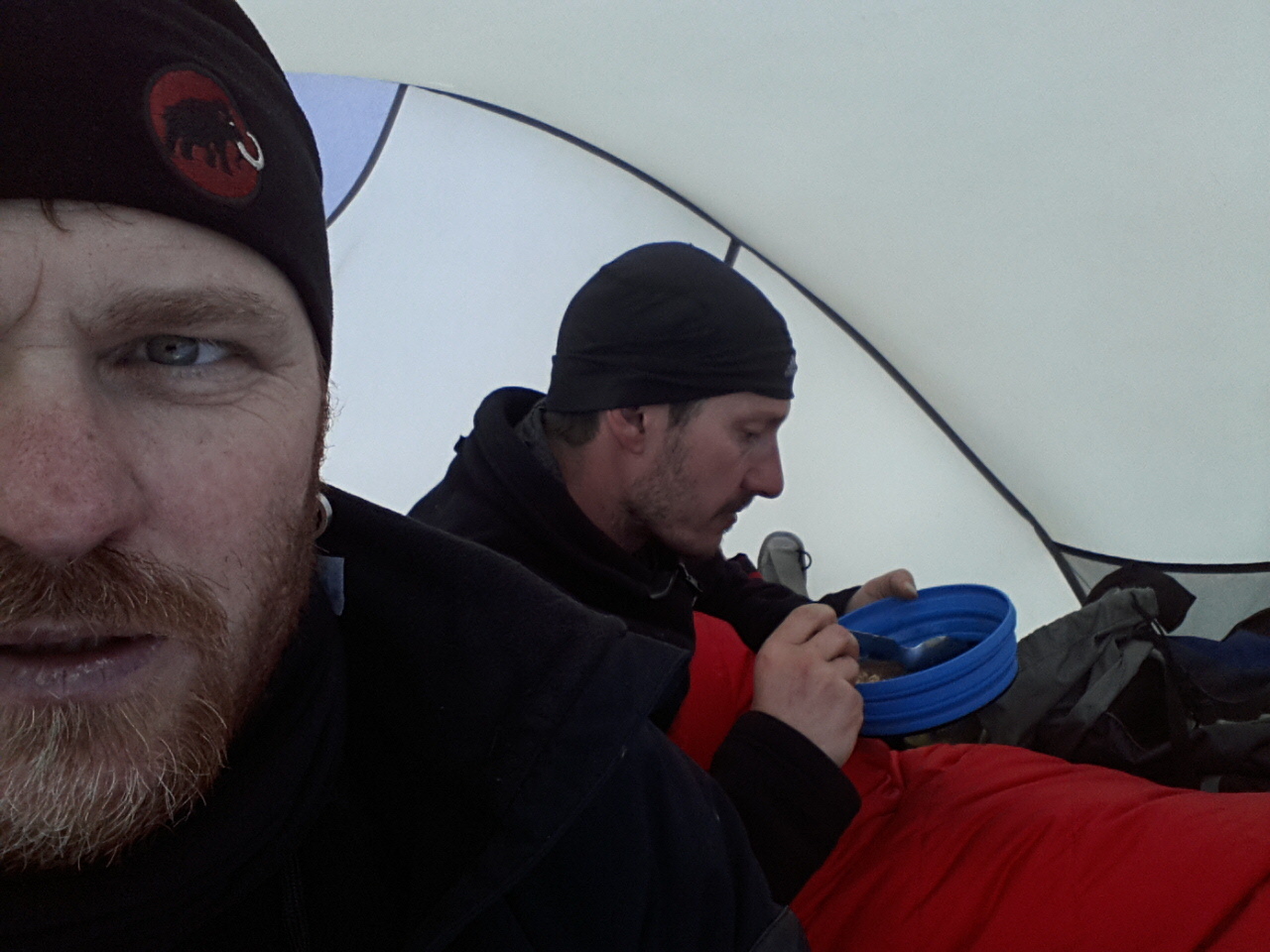
In brilliant sunshine the next morning we climbed to Khare at 4,900 m. After a final gear check we faced the decision: wait, or seize the first weather window. Most groups wanted to wait another day. We deliberately chose the bolder option.

On the way to High Camp we passed some truly emaciated and frustrated figures who had been stranded up there for days or had been defeated by the soft new snow.

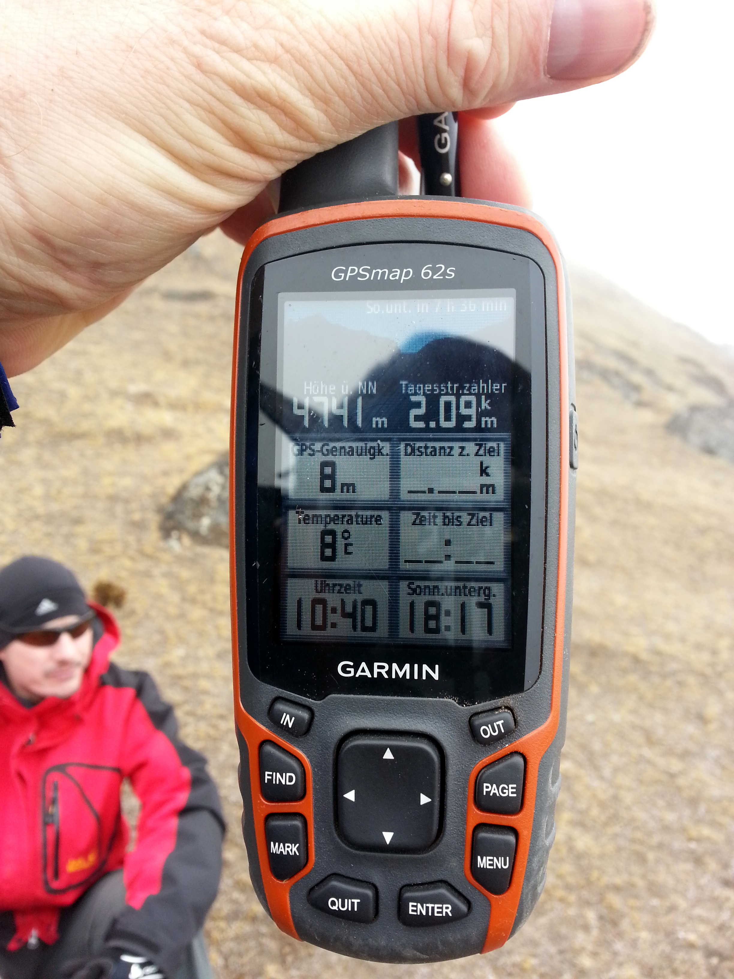
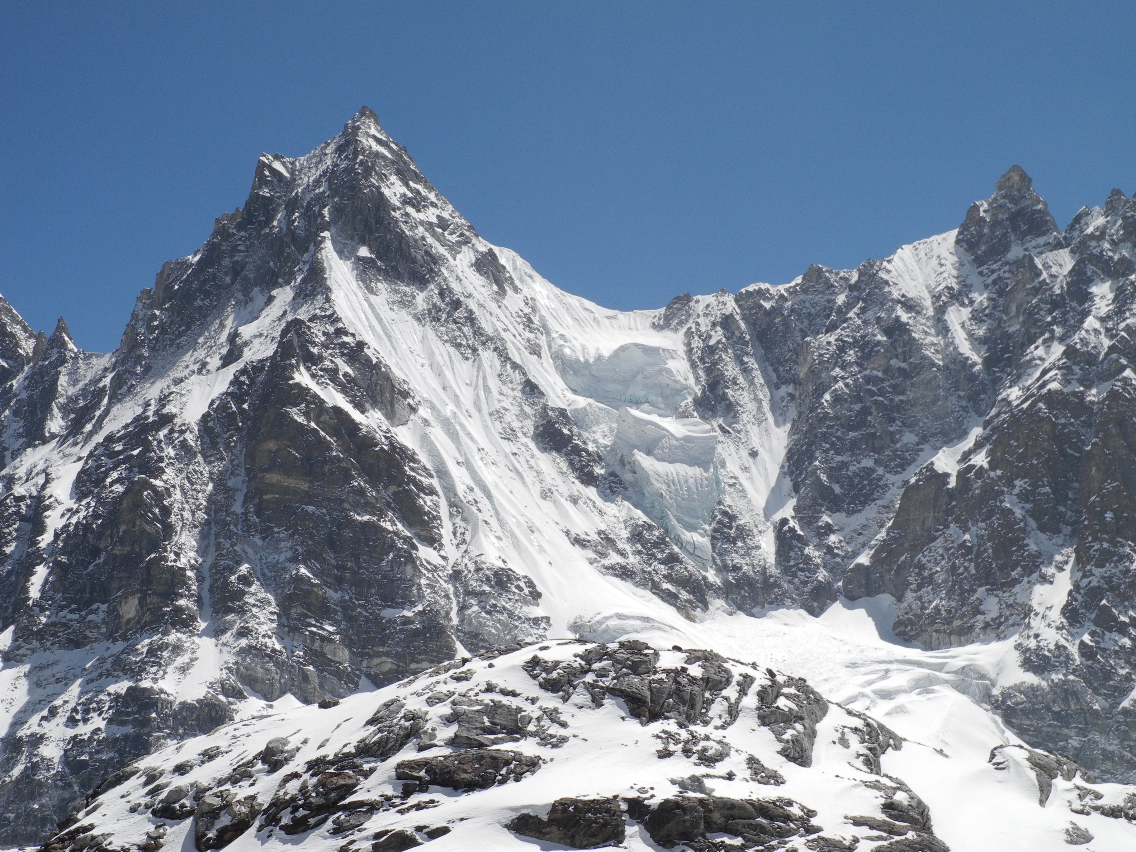
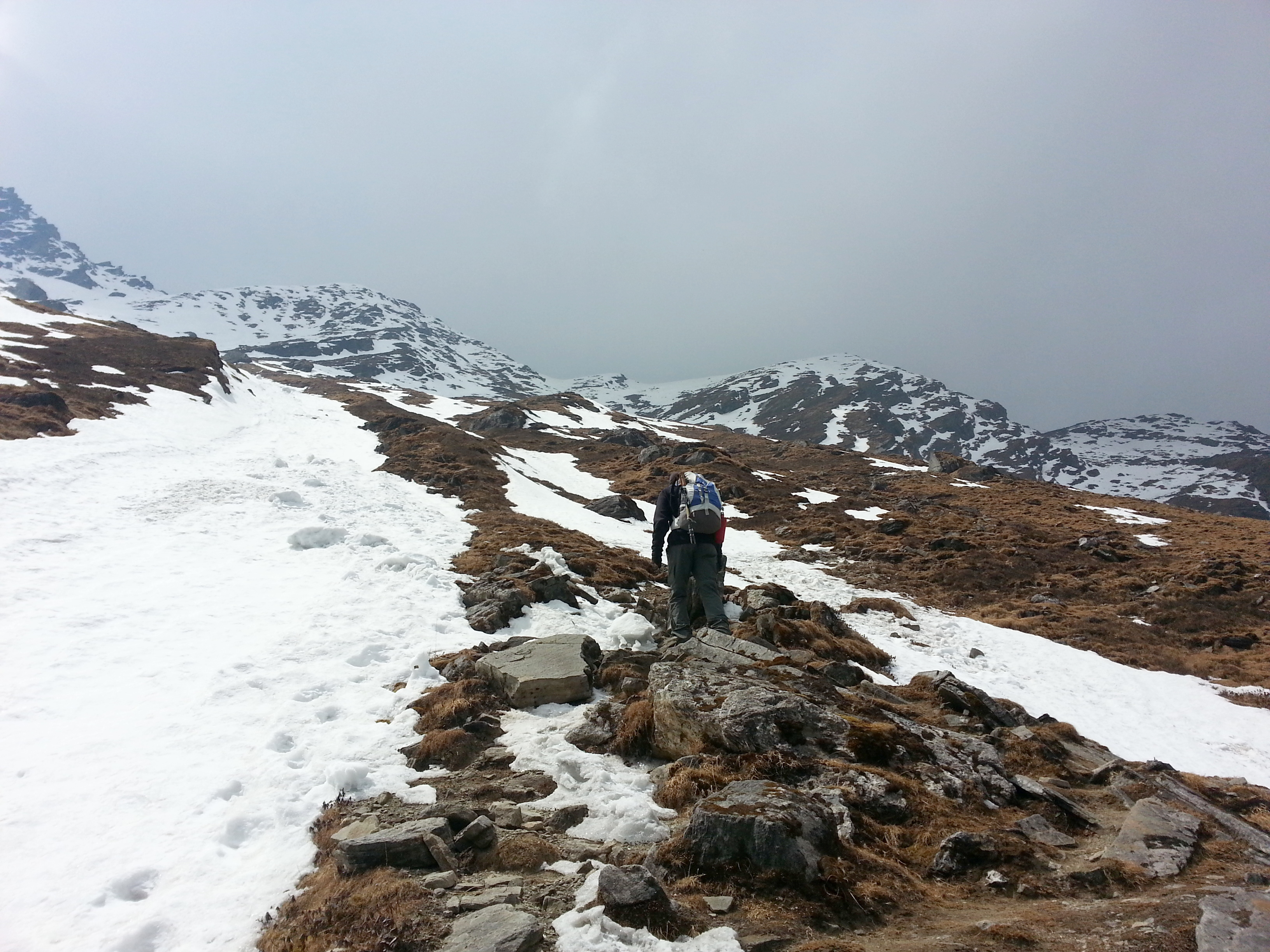
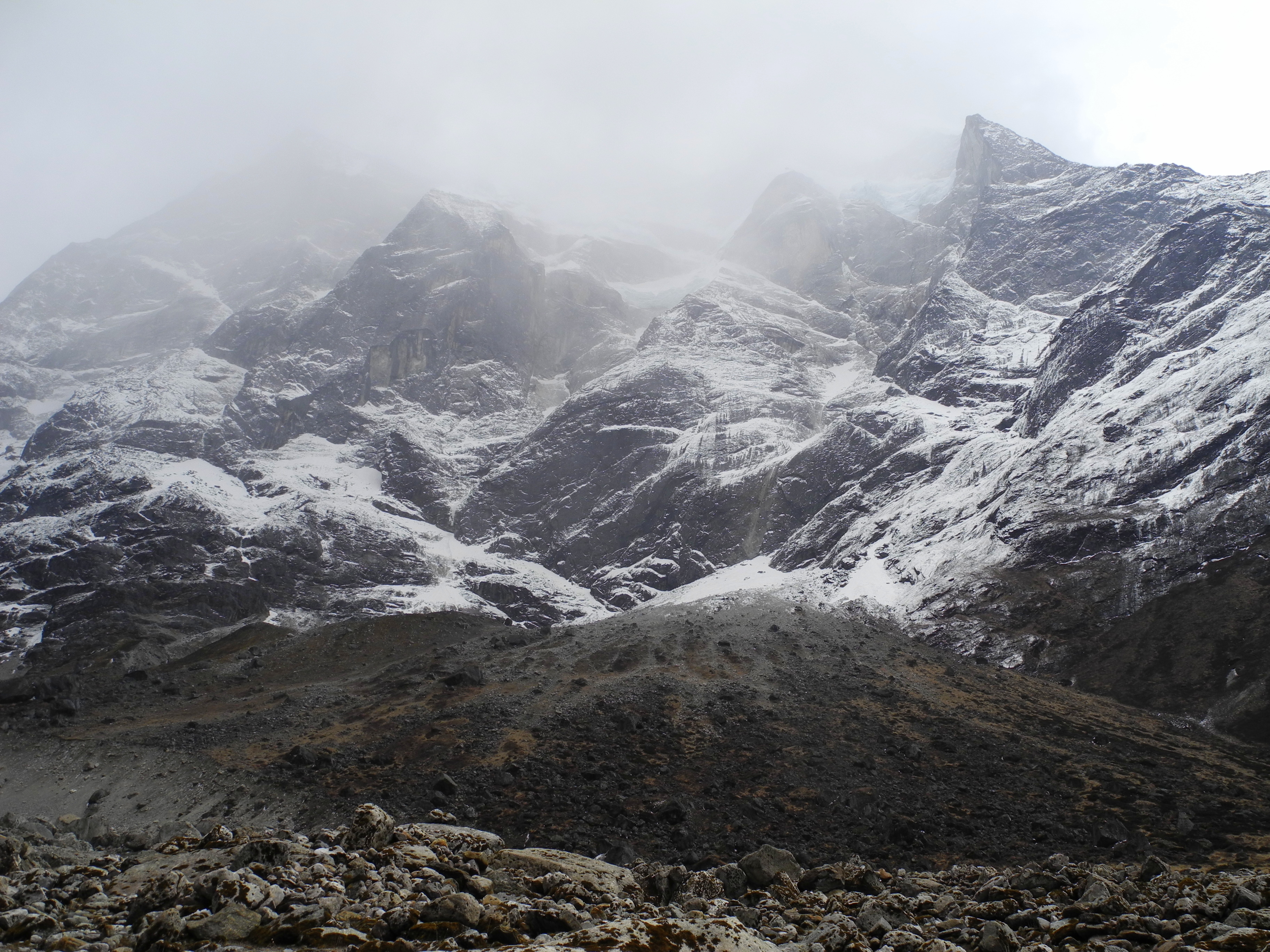
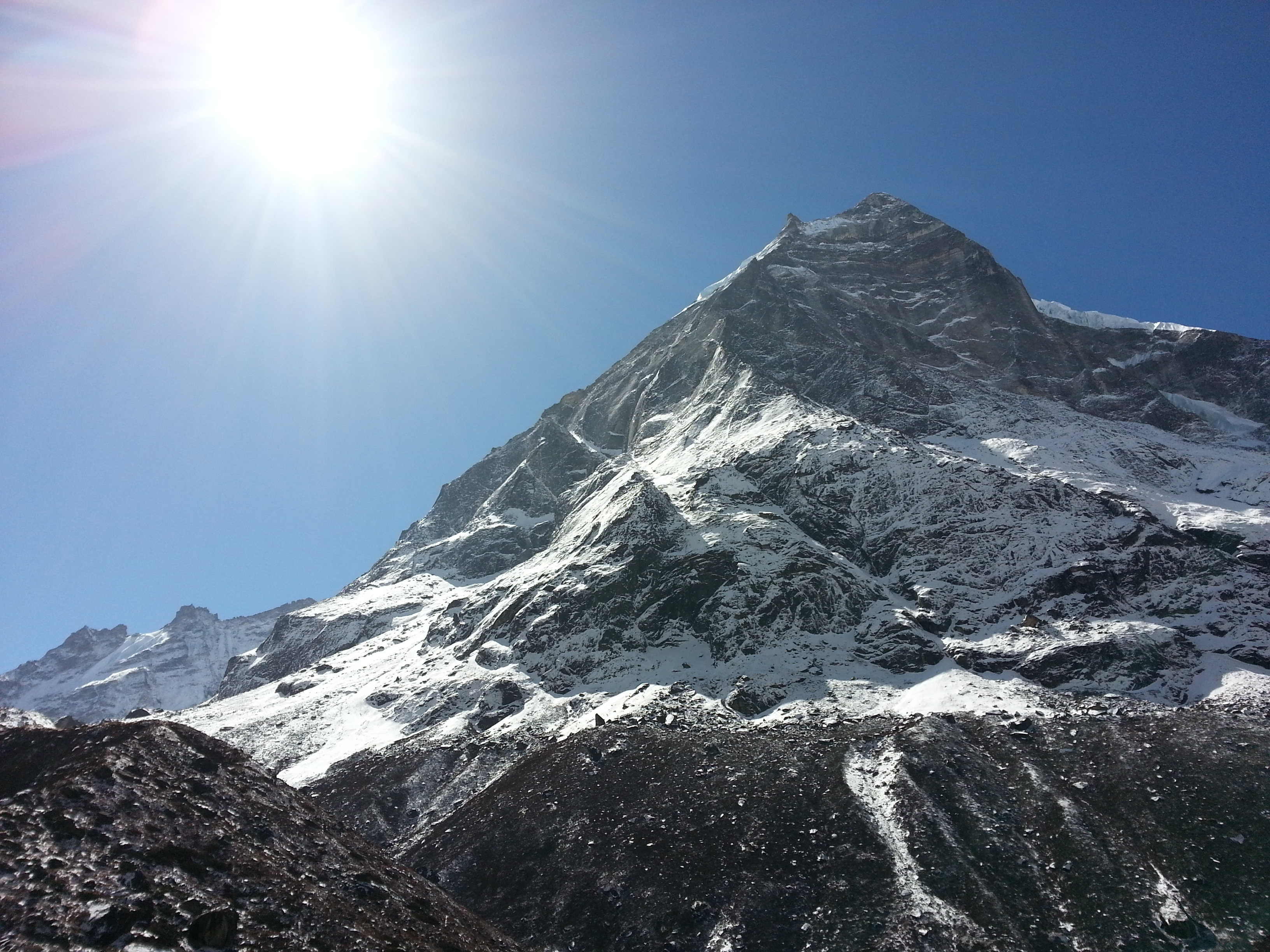
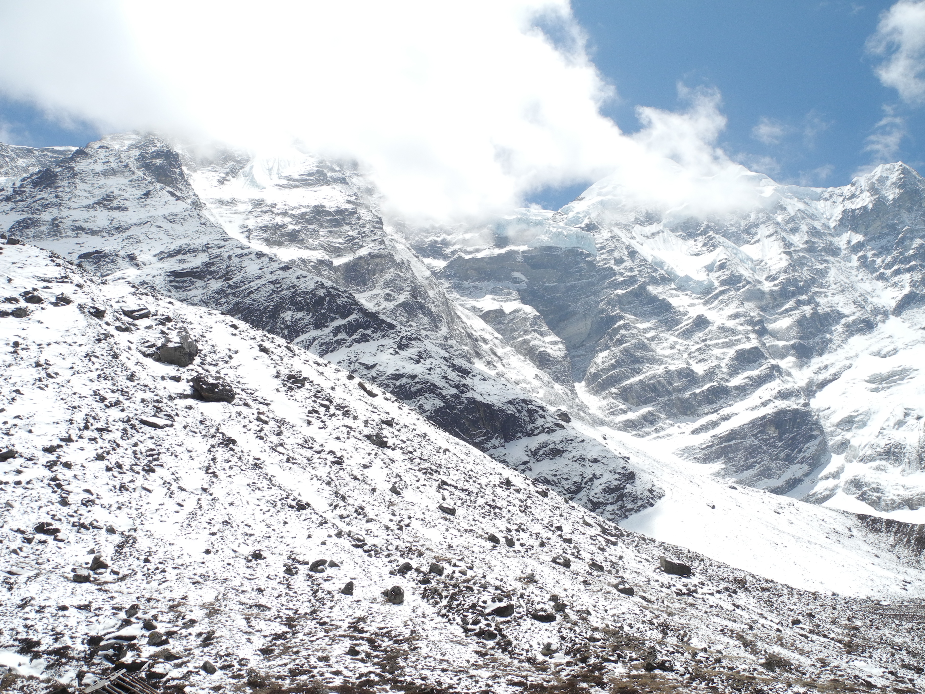
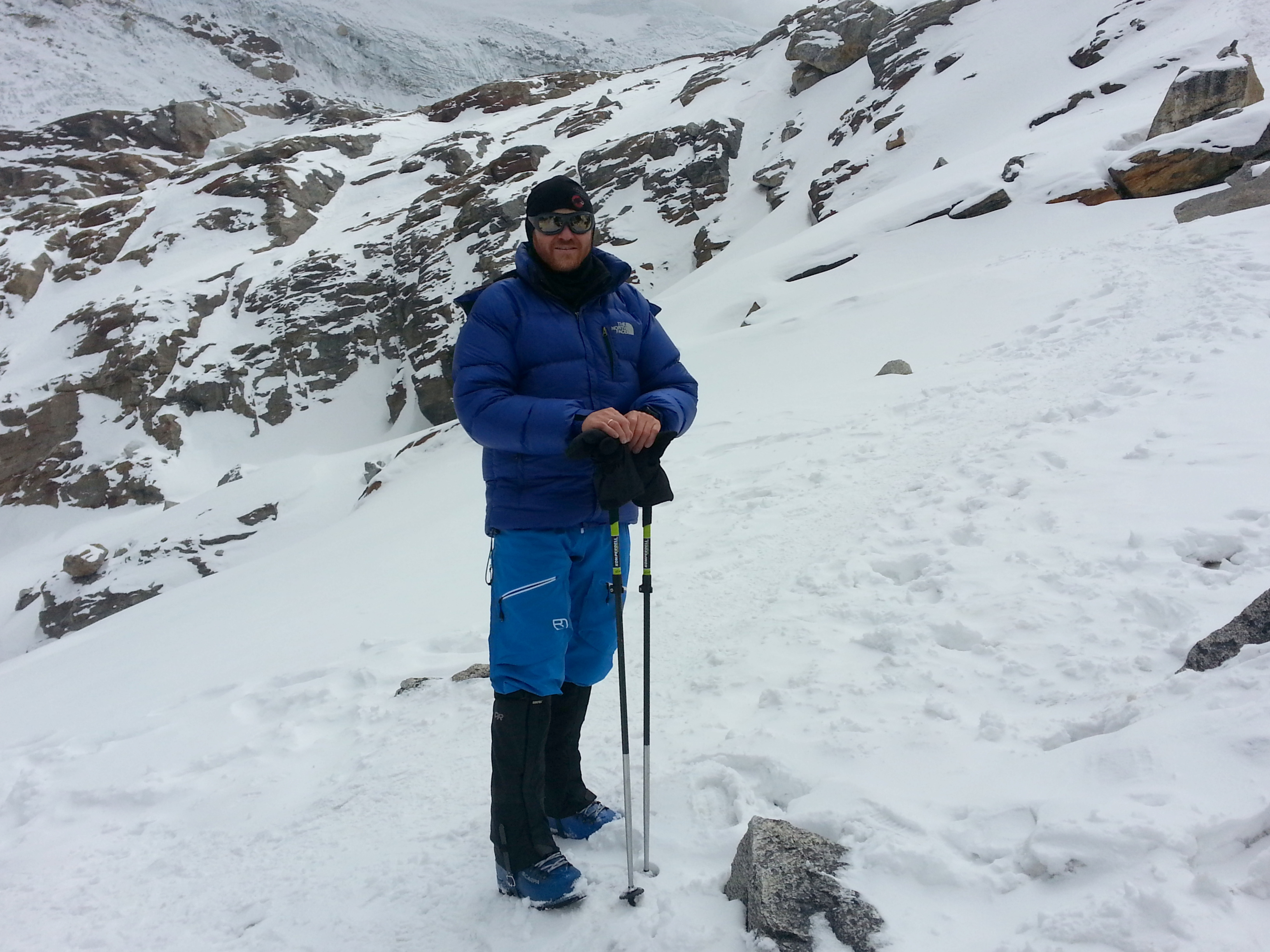
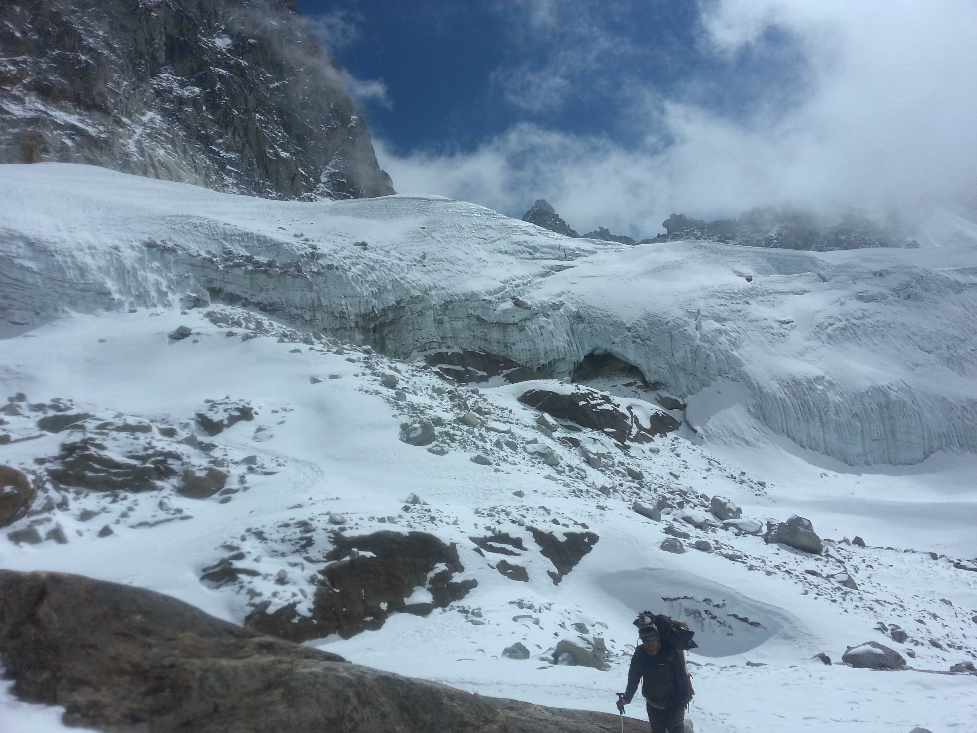
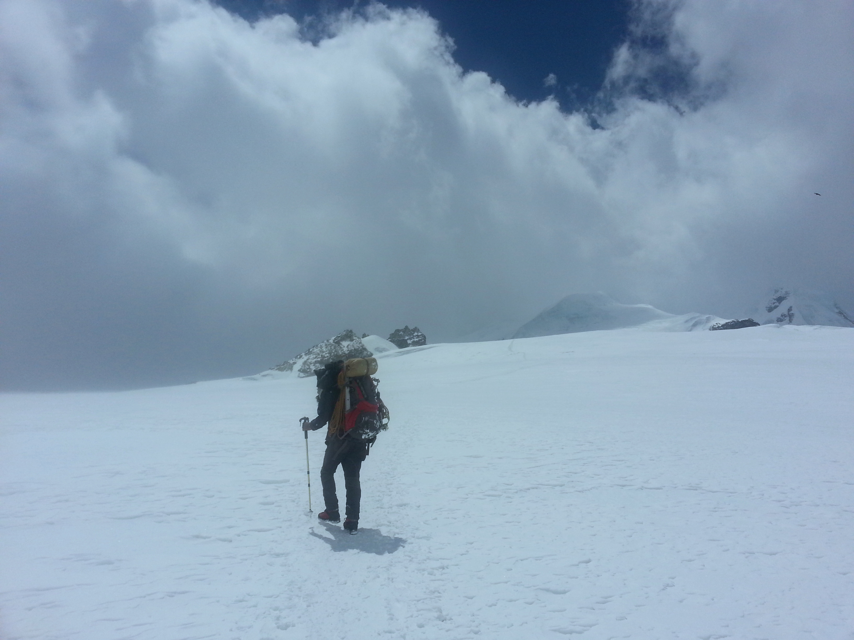
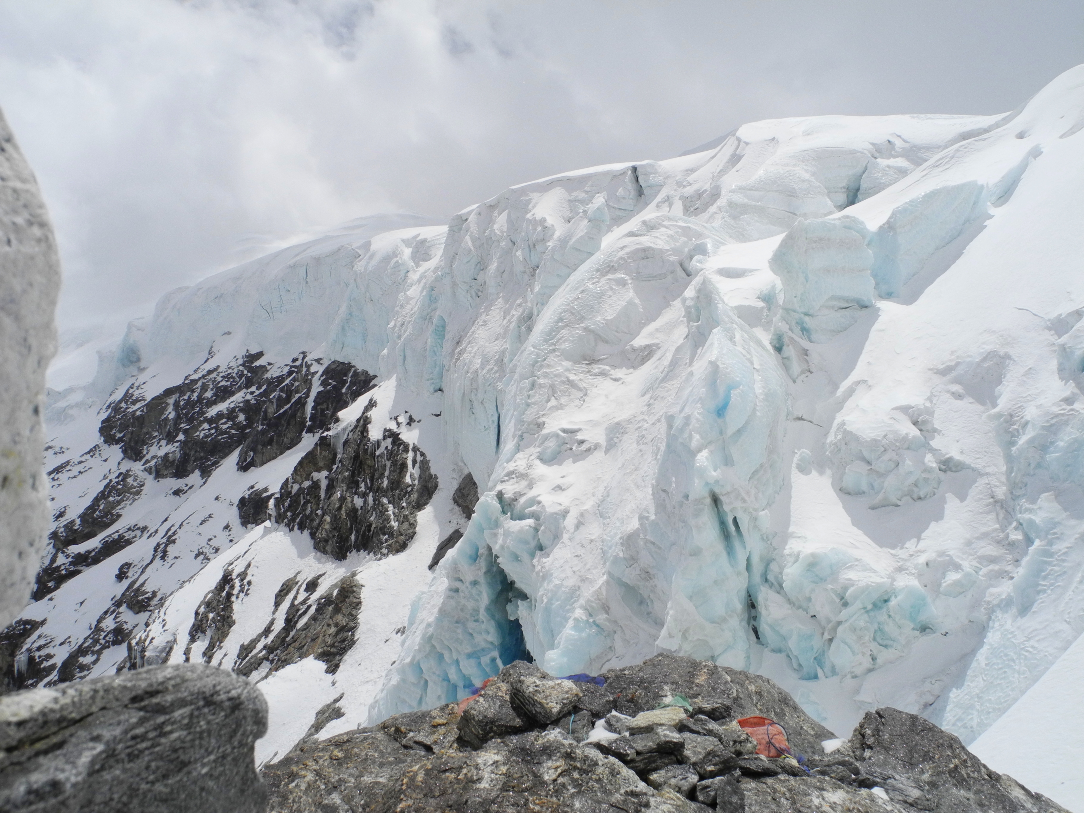
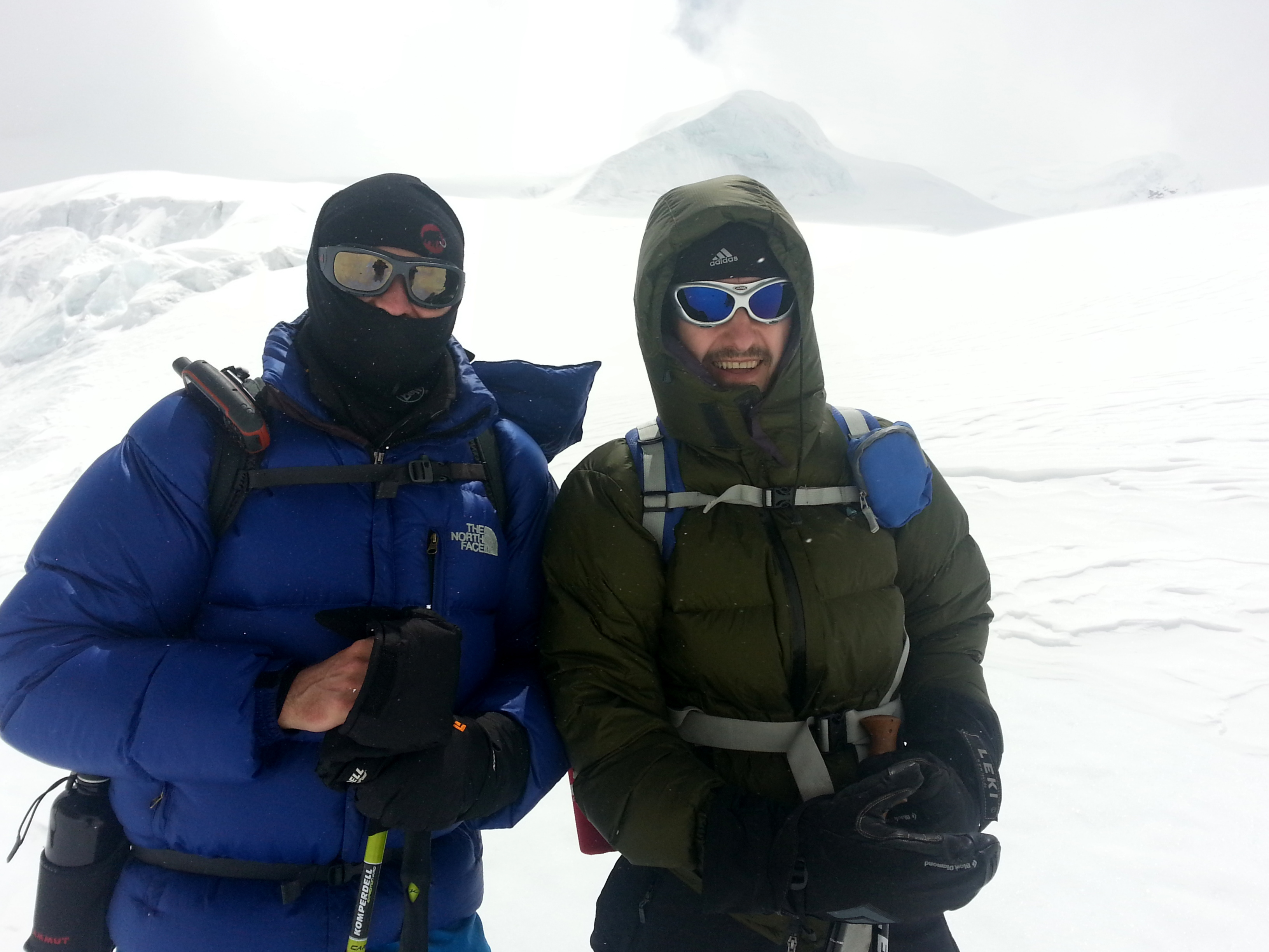
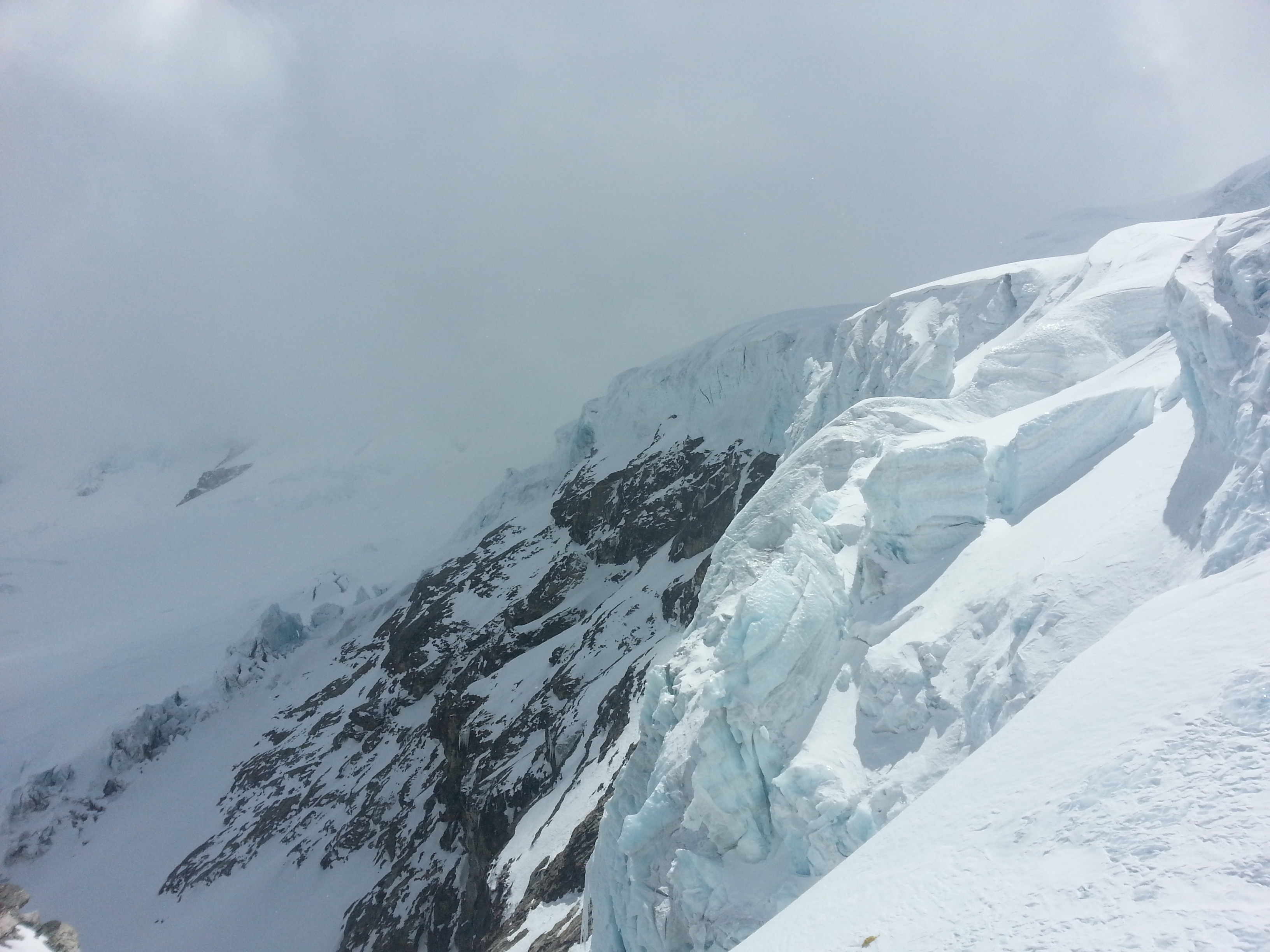
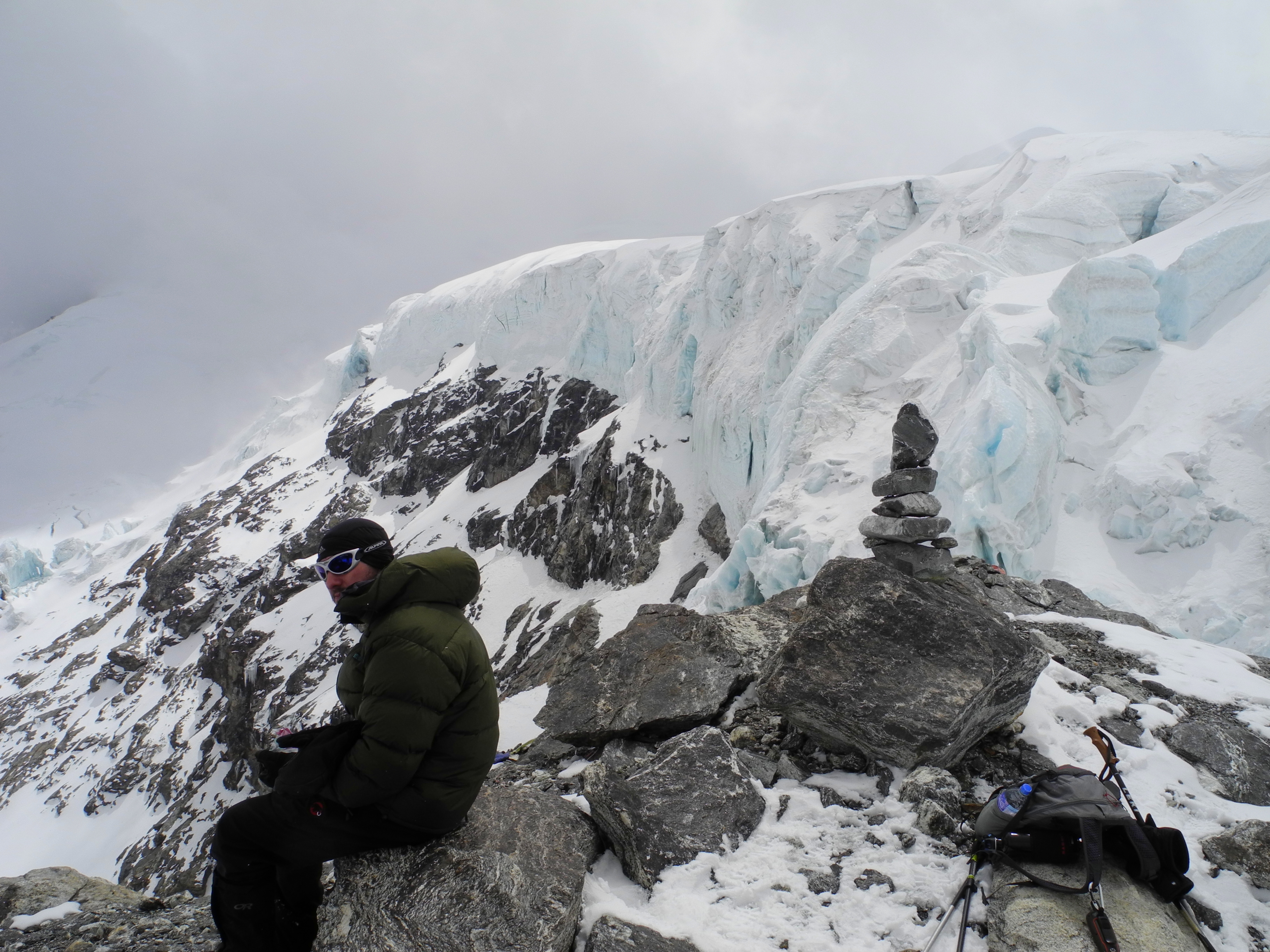
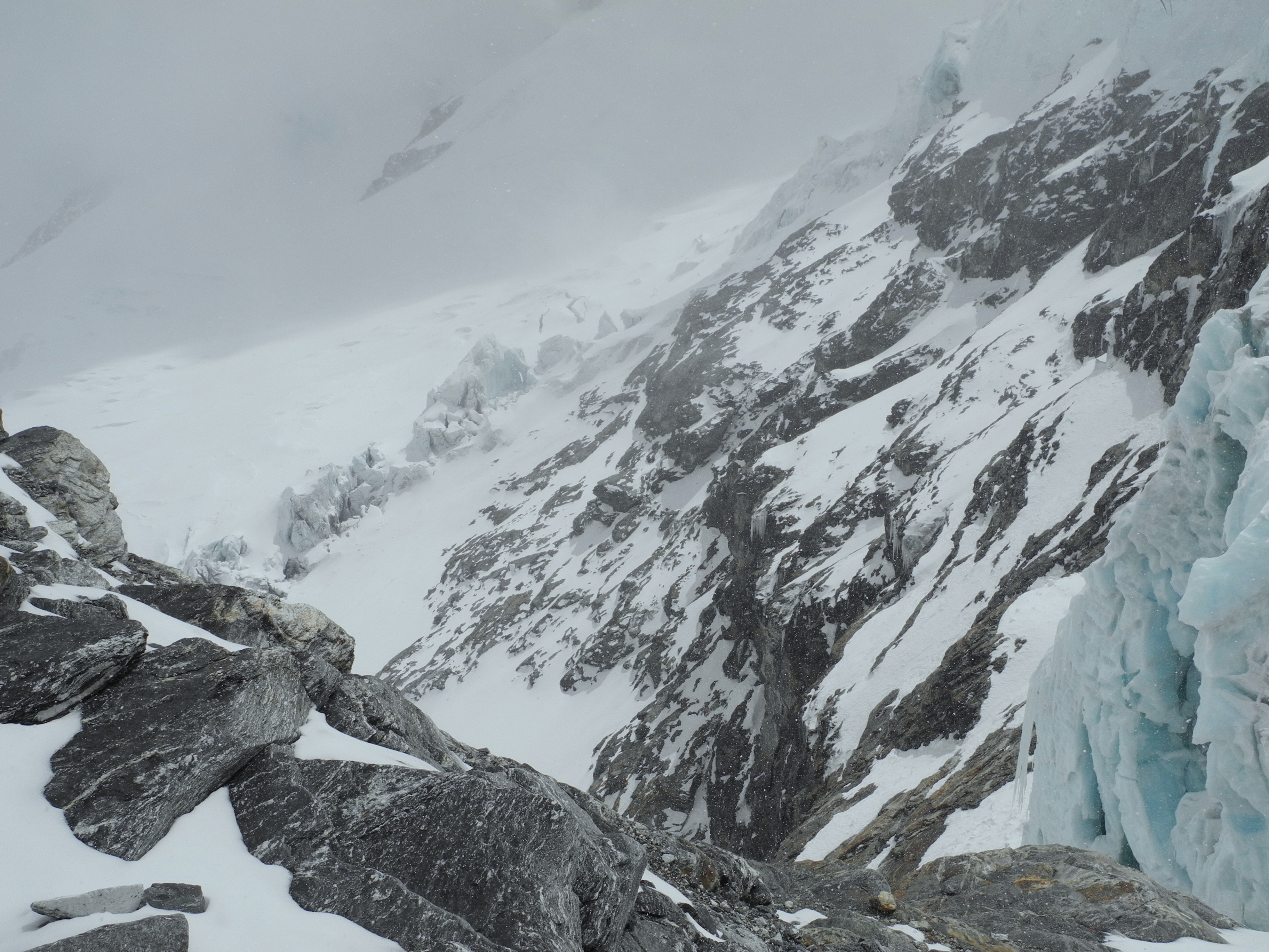
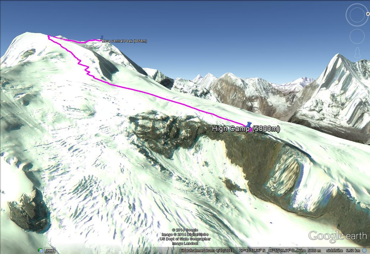
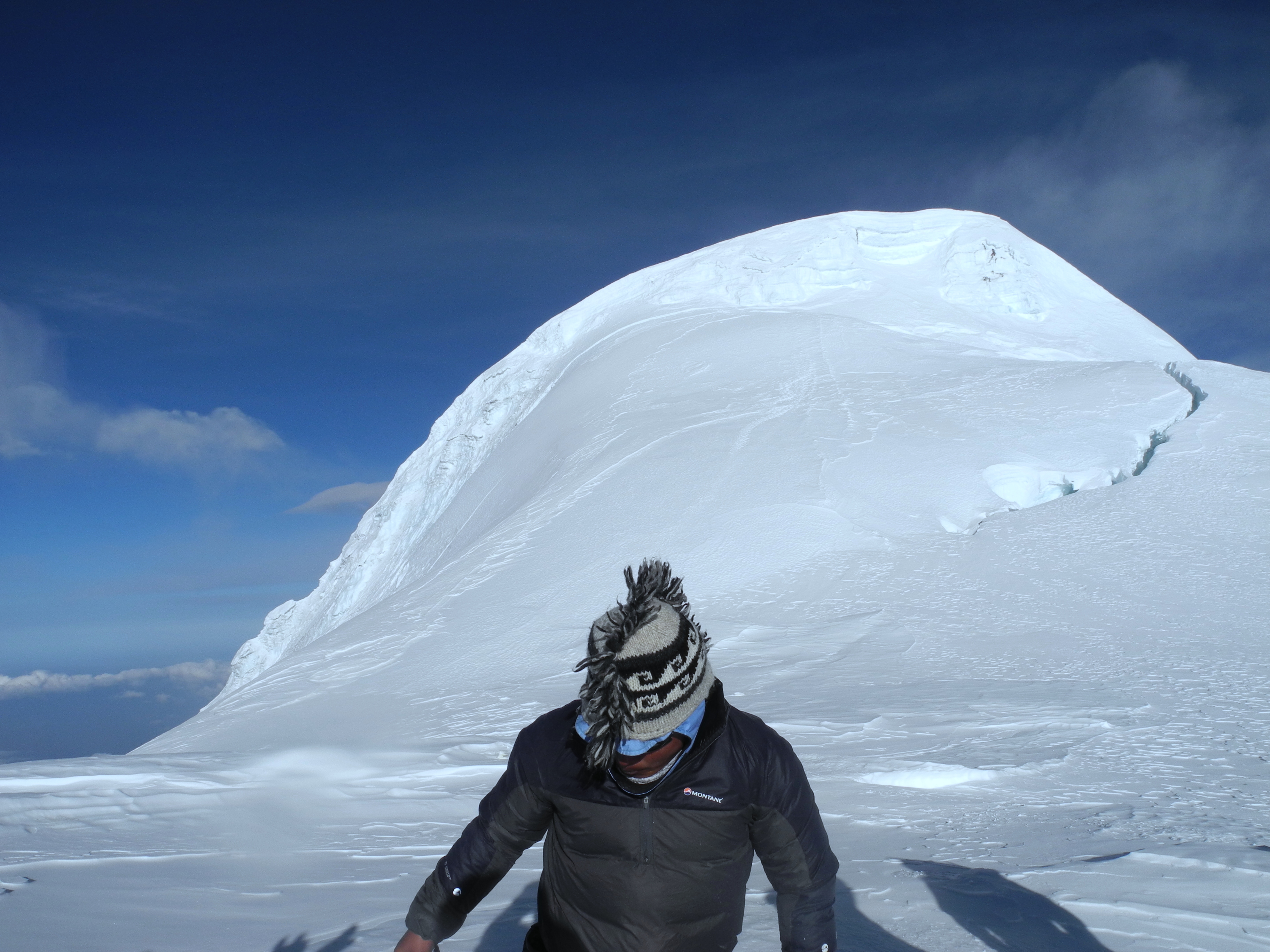
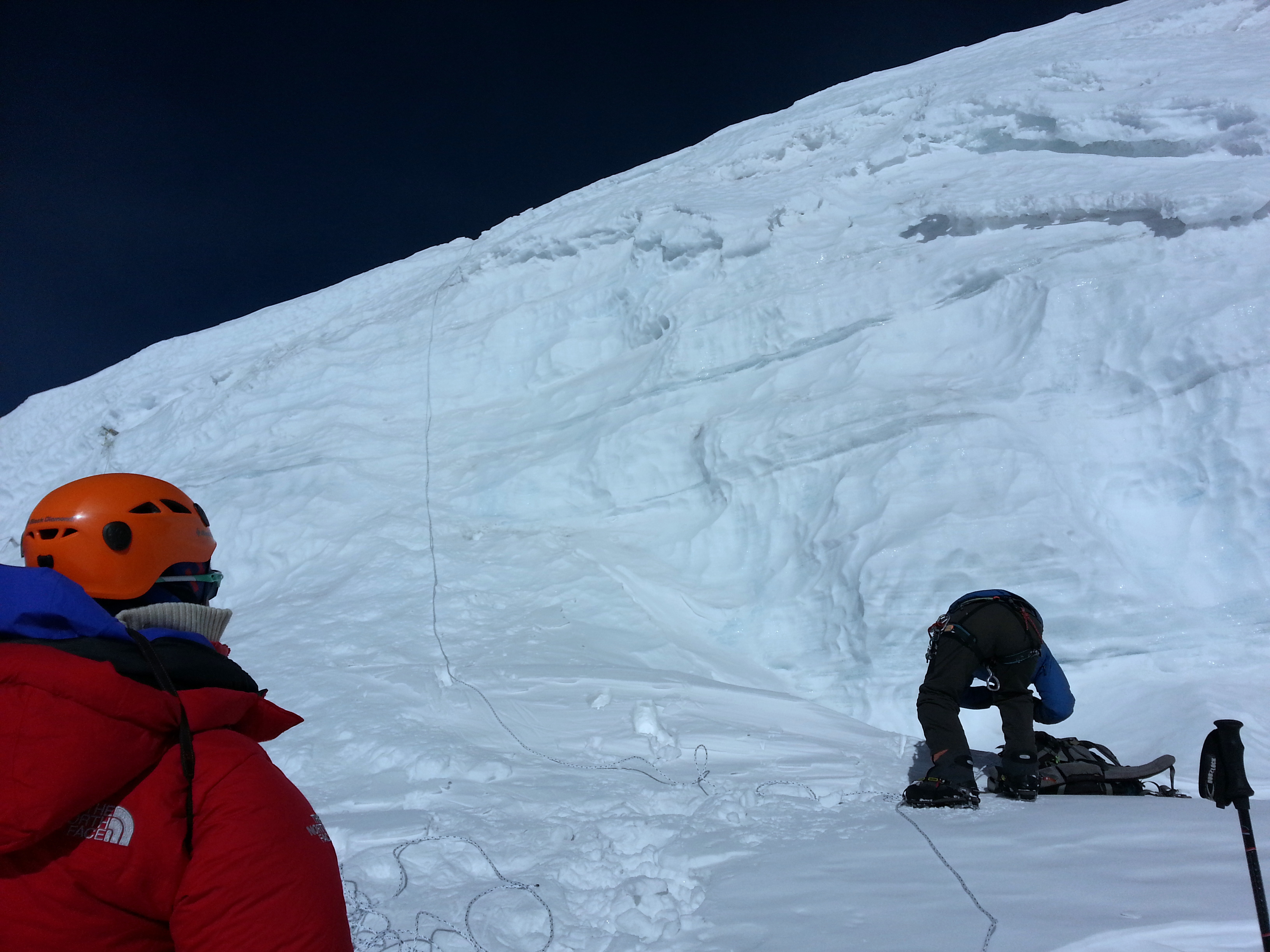
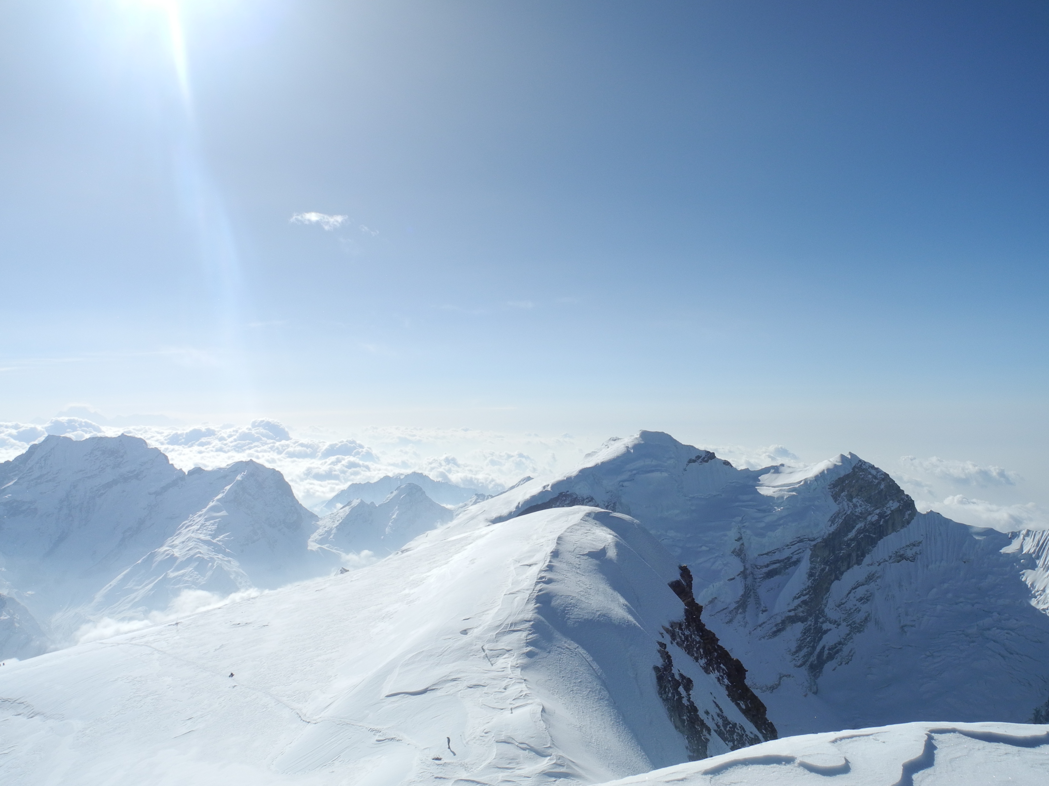
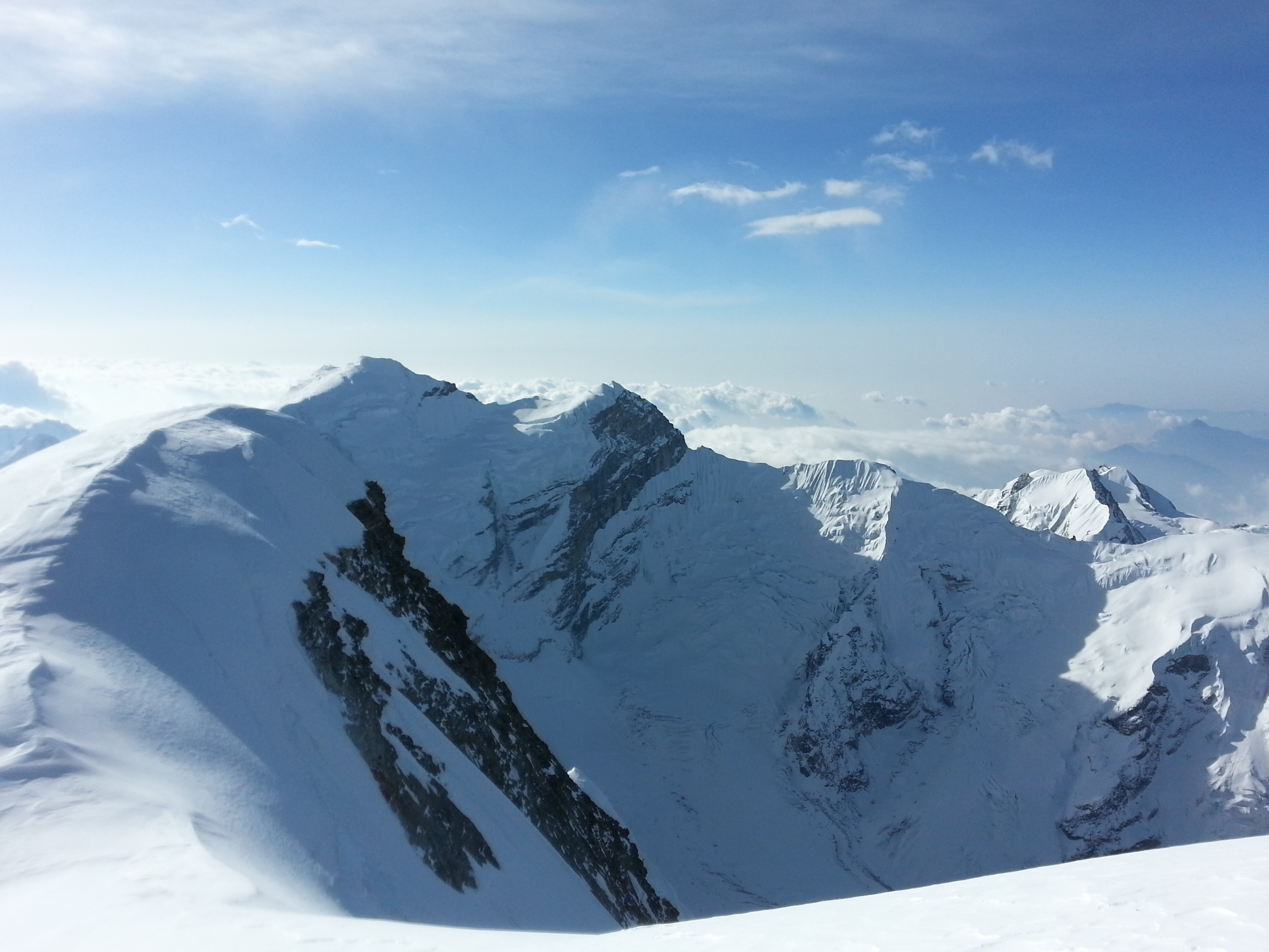
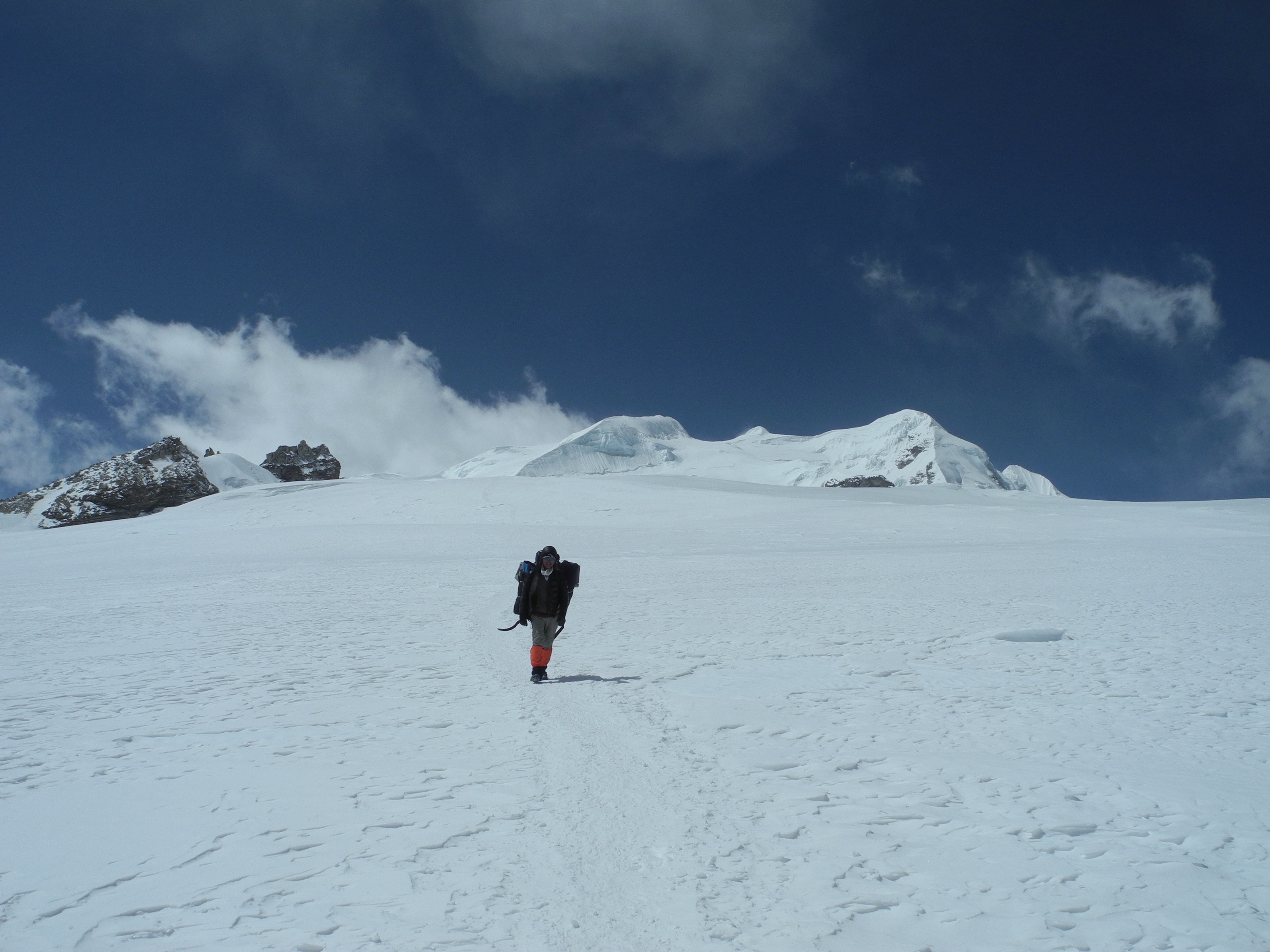
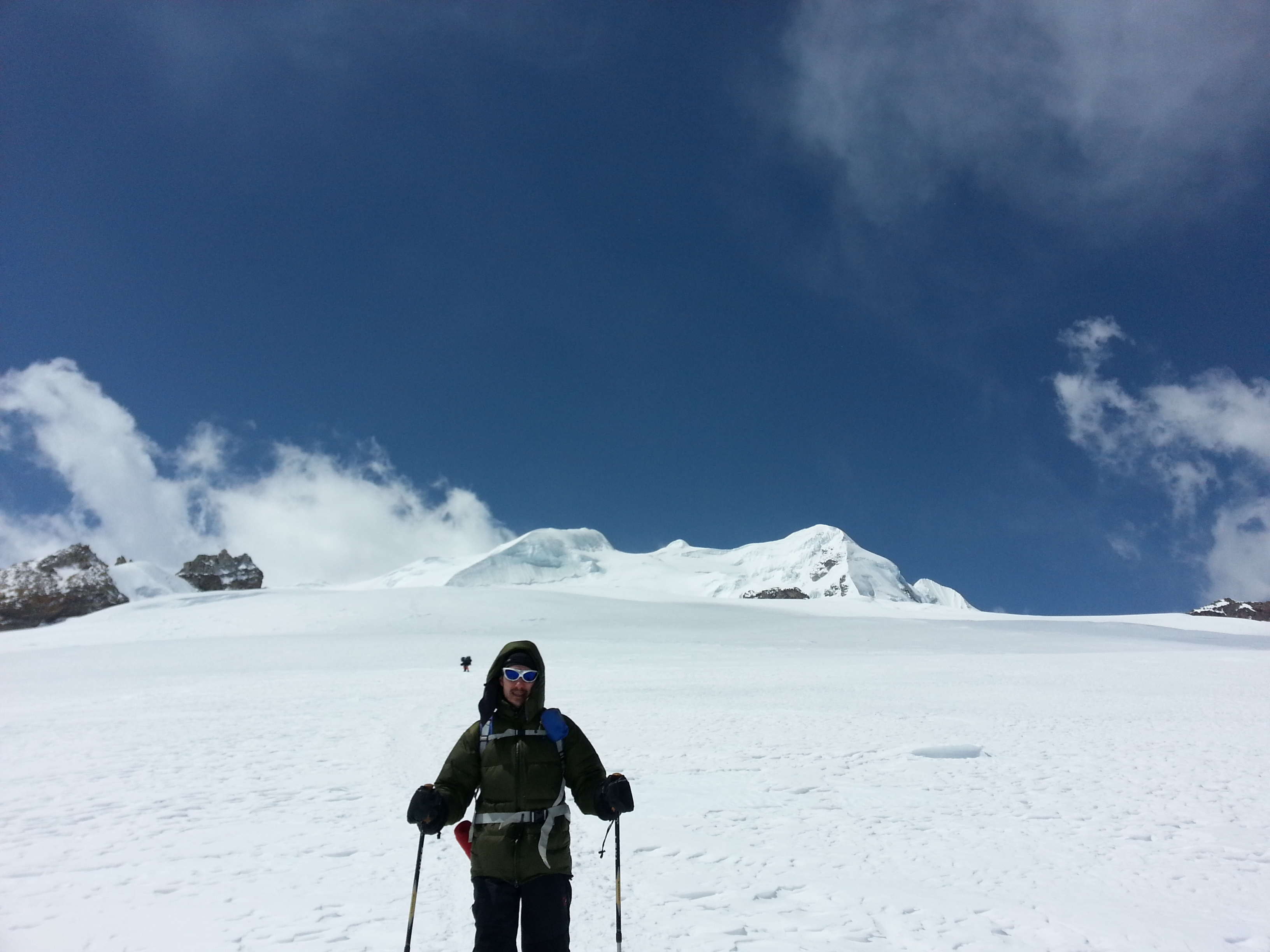
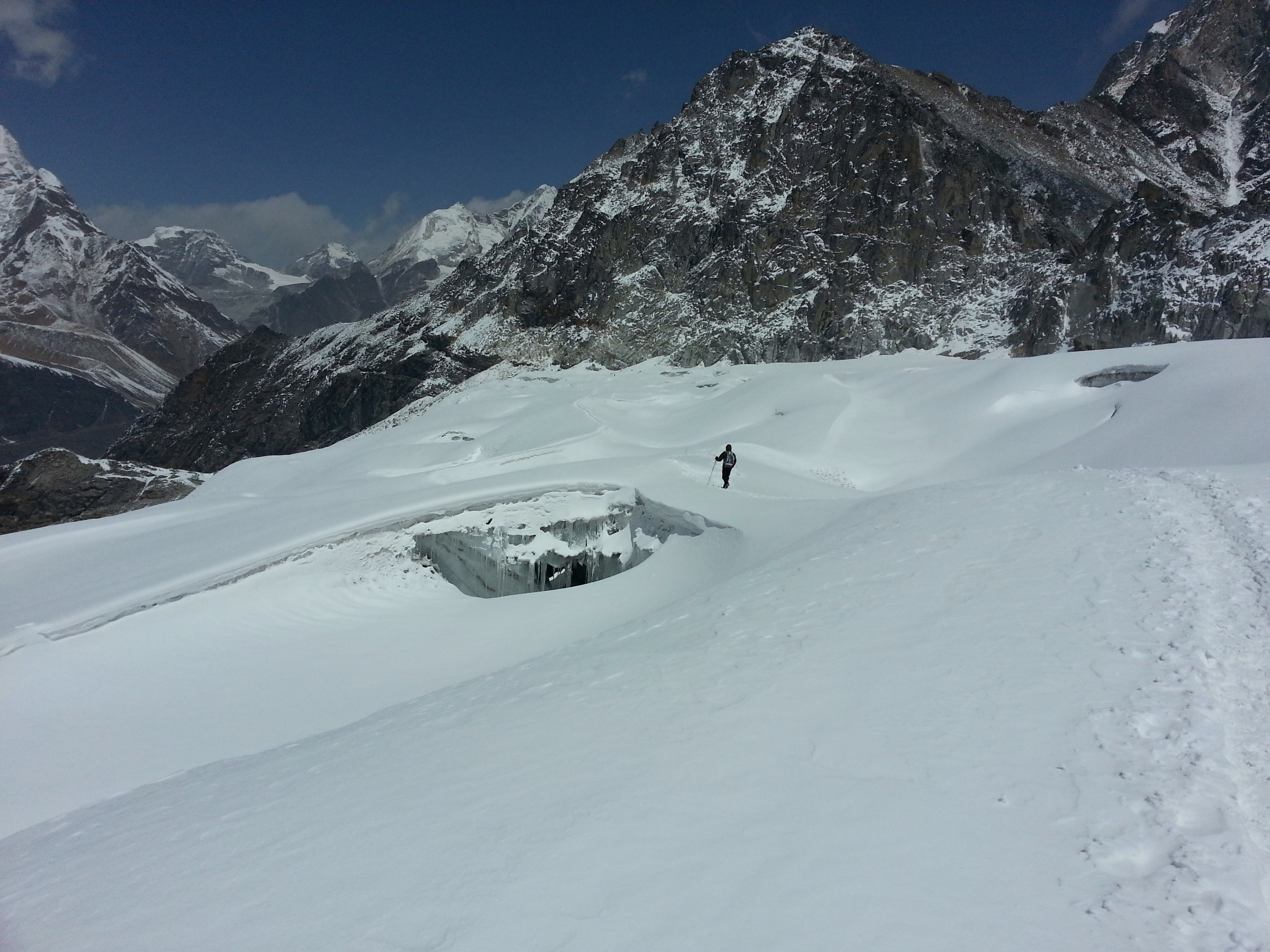
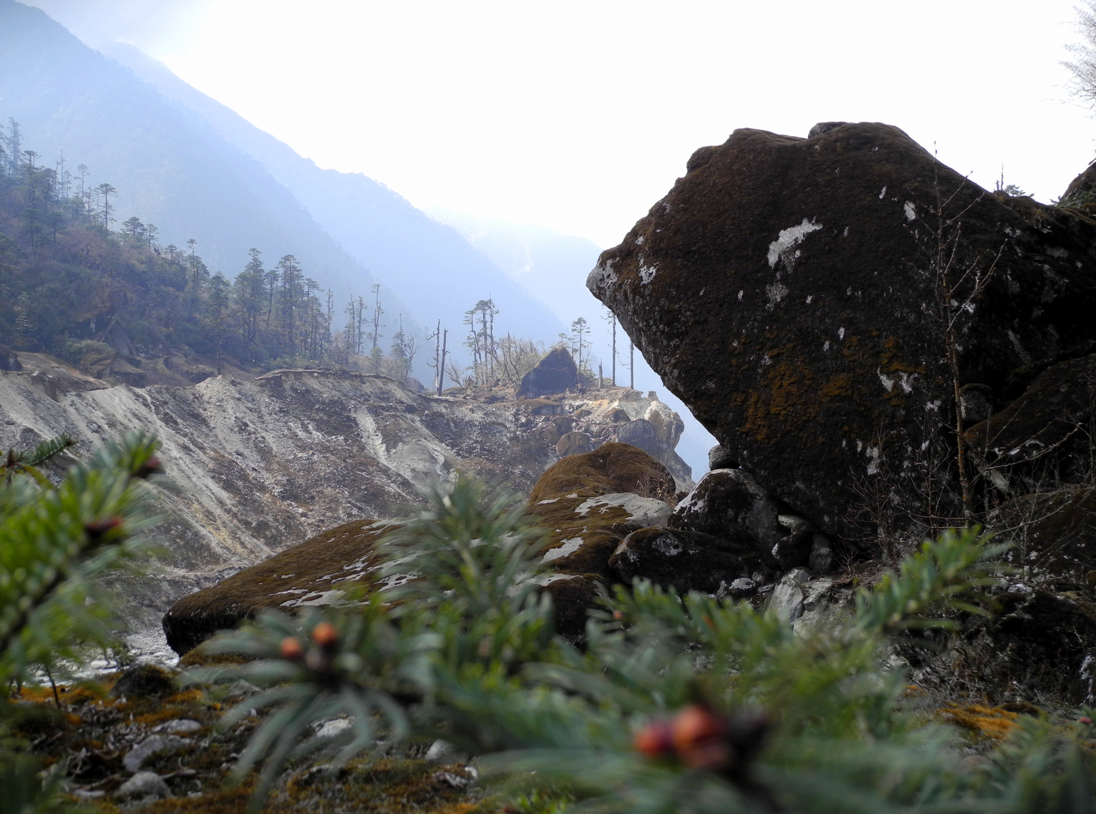
The ascent to the Mera La Glacier commanded real respect – a steep field of rock and seracs that gave an overall impression of considerable instability. Then we crossed the glacier, past the Base Camp (which we didn’t need thanks to our good acclimatisation), up to High Camp at approximately 5,800–5,900 m. There we found only two American roped parties – plenty of space for our two tents.

The weather was not yet perfect, but at least it had stopped snowing. Instead it was bitterly cold and windy.

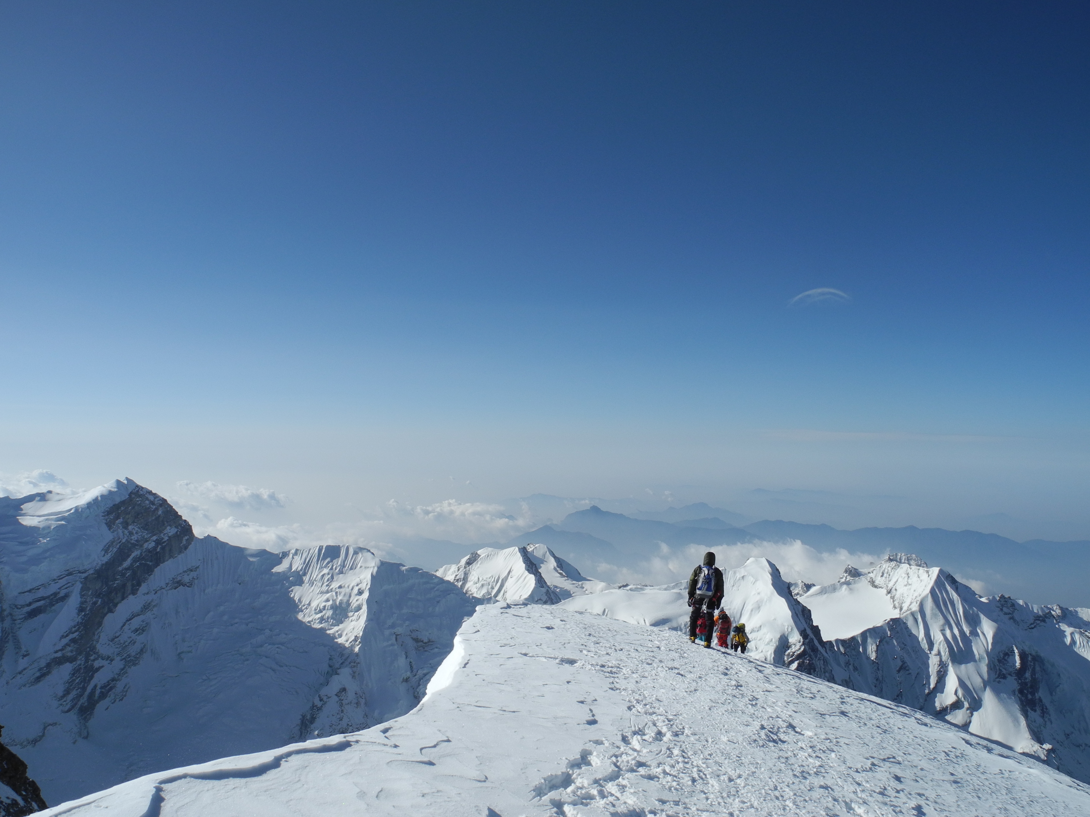
At 1 AM we set off. Cold, wind and darkness set the rhythm from then on: walk, breathe, stop. Together with the two American roped parties of three, we worked our way upward step by step. The trail-breaking was hard work – at times you sank in up to your knees. Every step cost energy, and with increasing altitude the pace slowed inevitably.

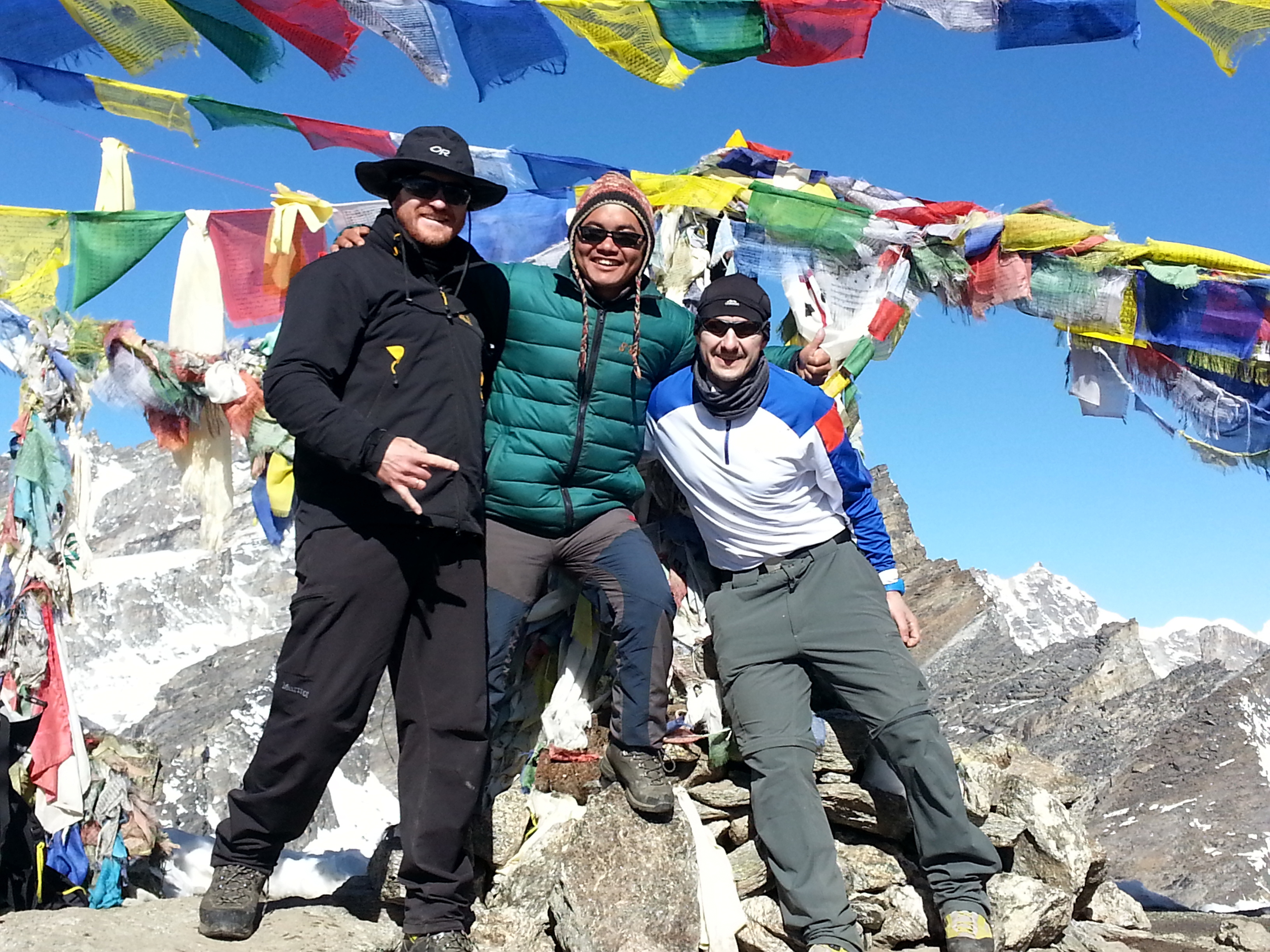
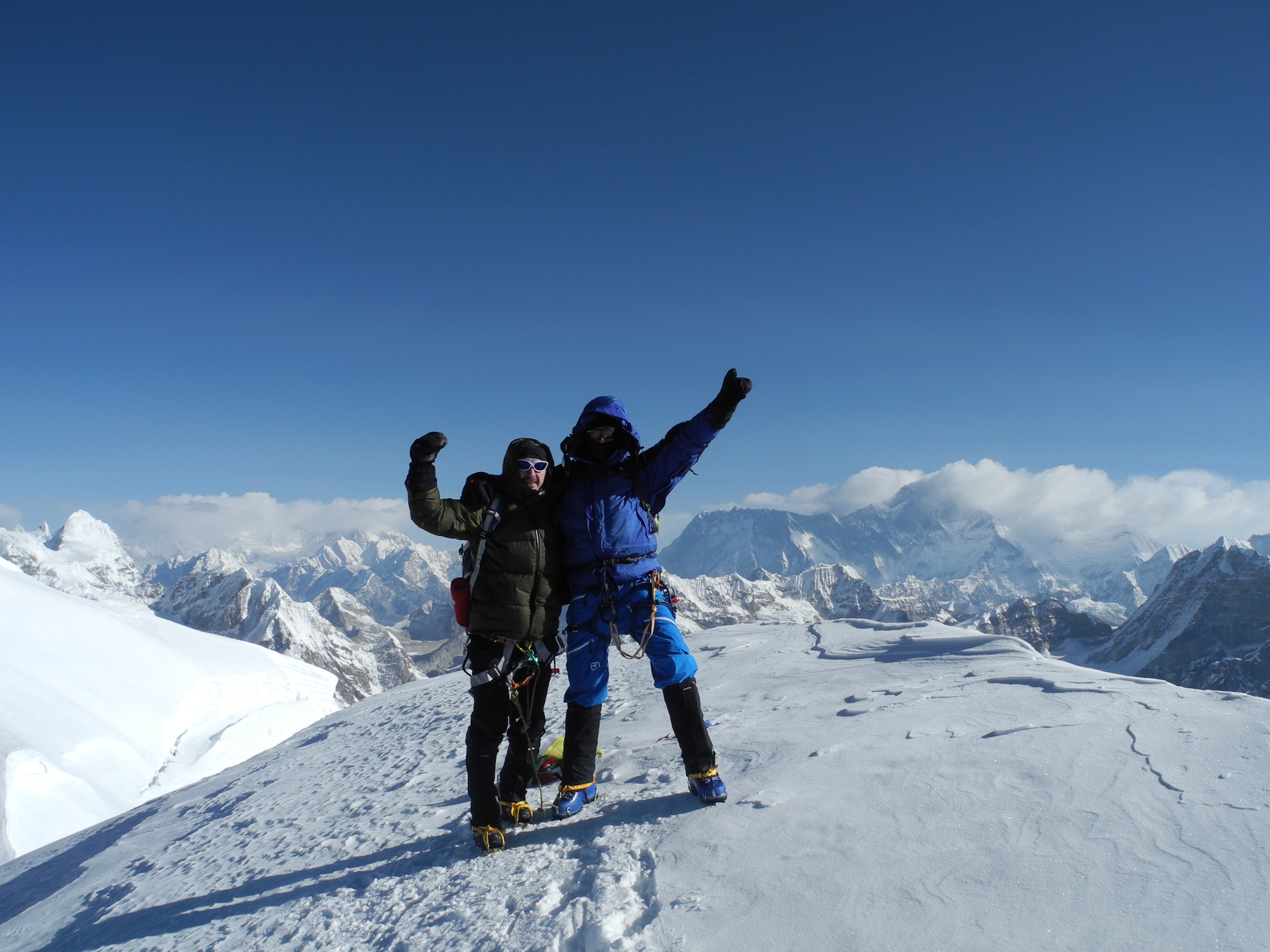
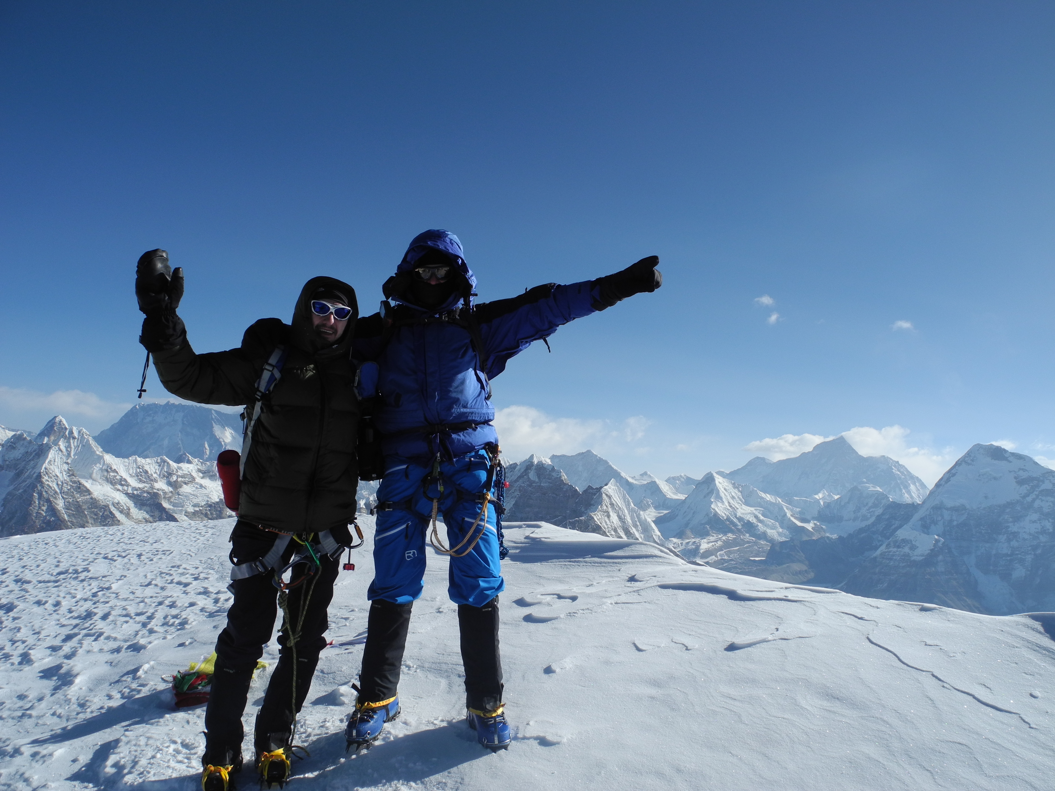
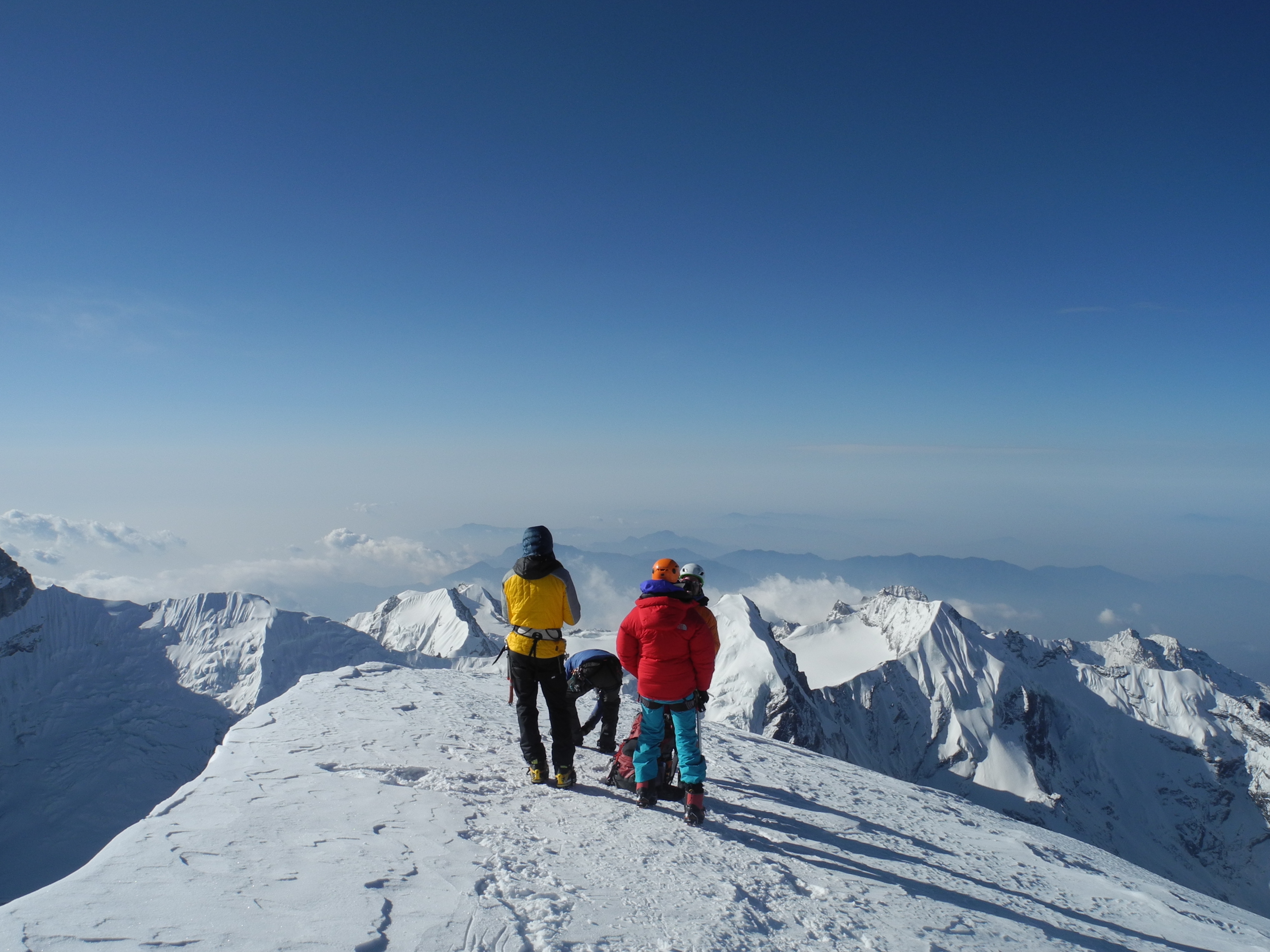
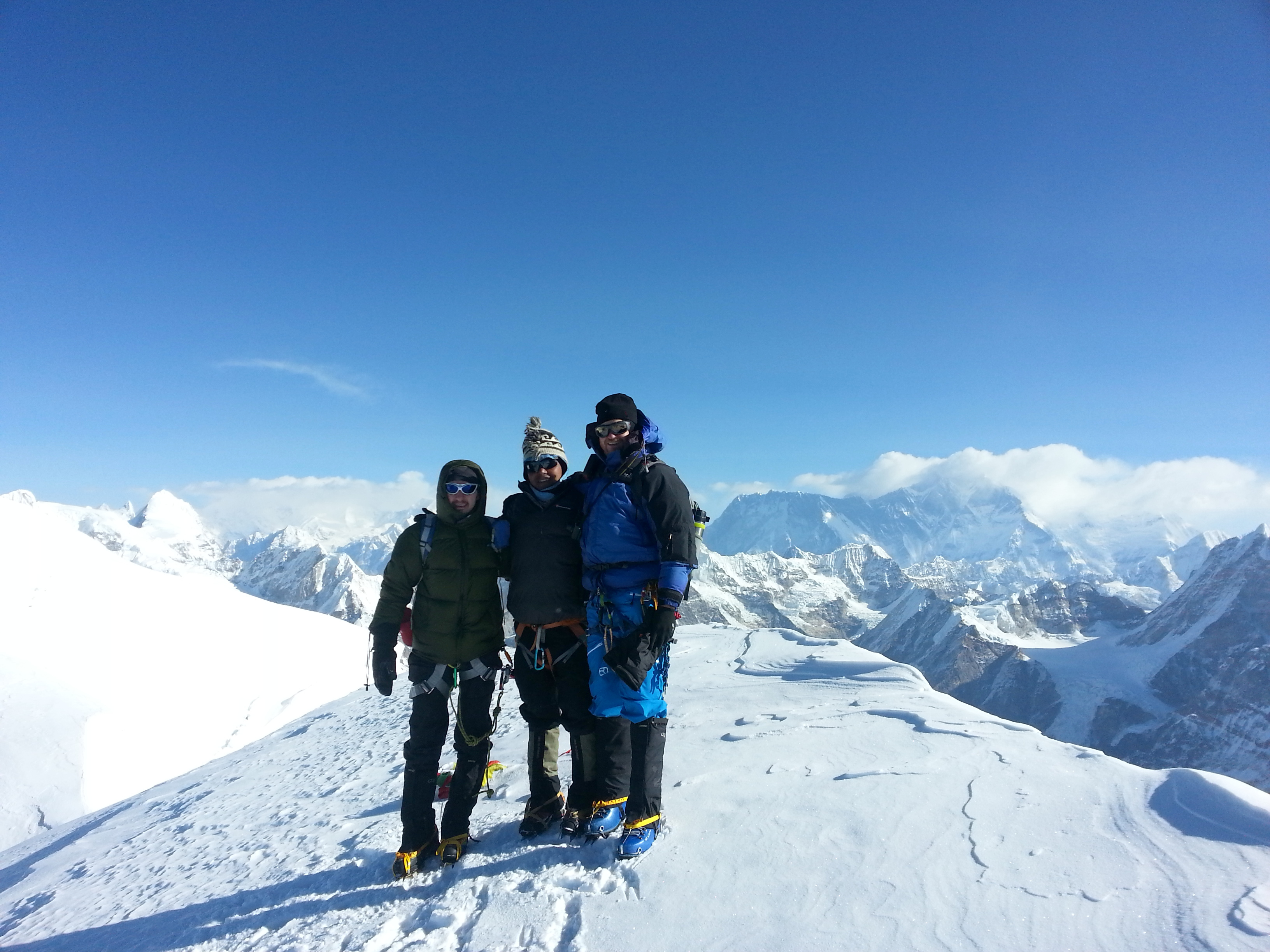
After countless rest breaks we finally reached the summit structure of Mera. Lakba and the Americans’ guide fixed the rope for the final metres.

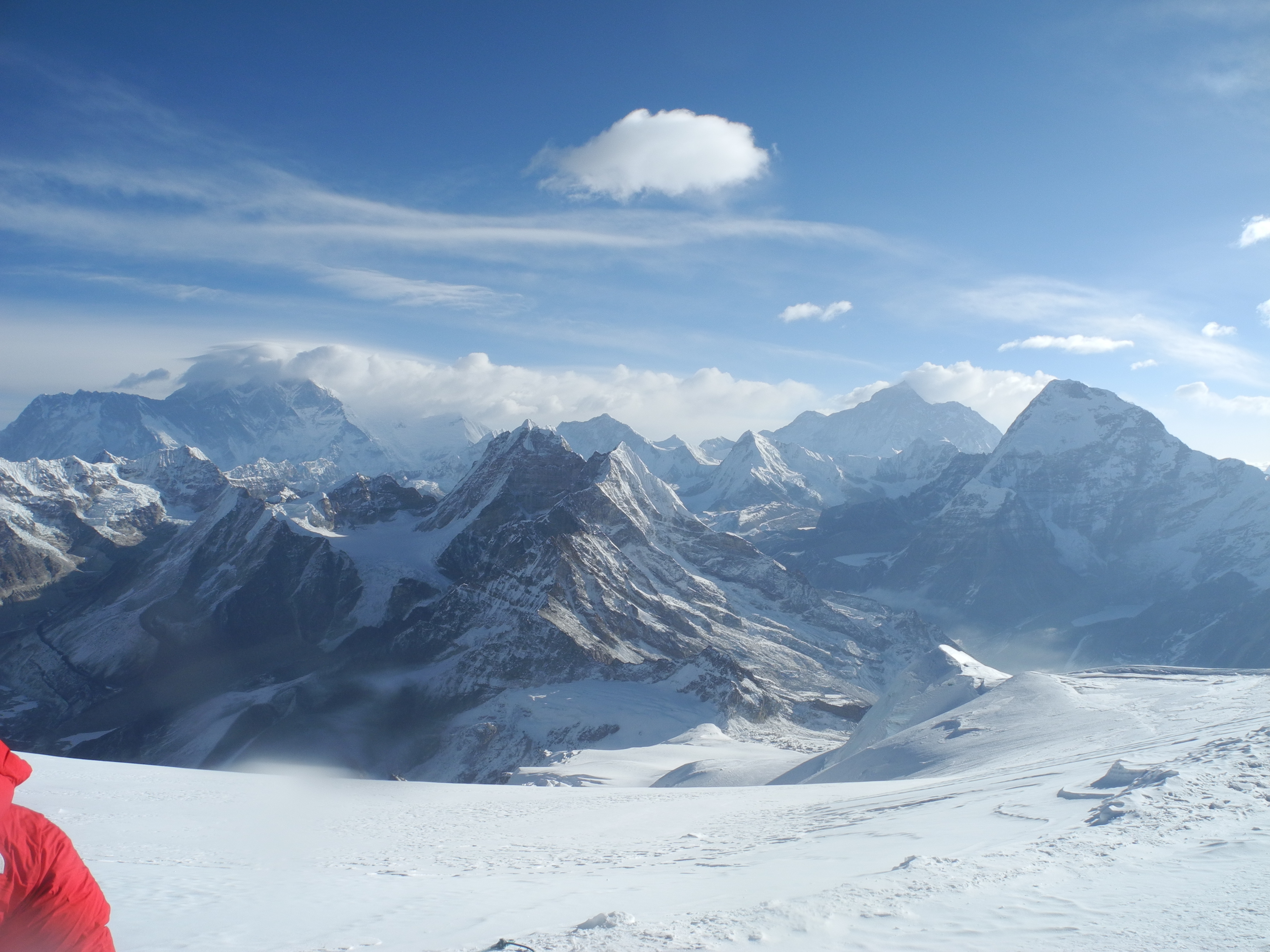
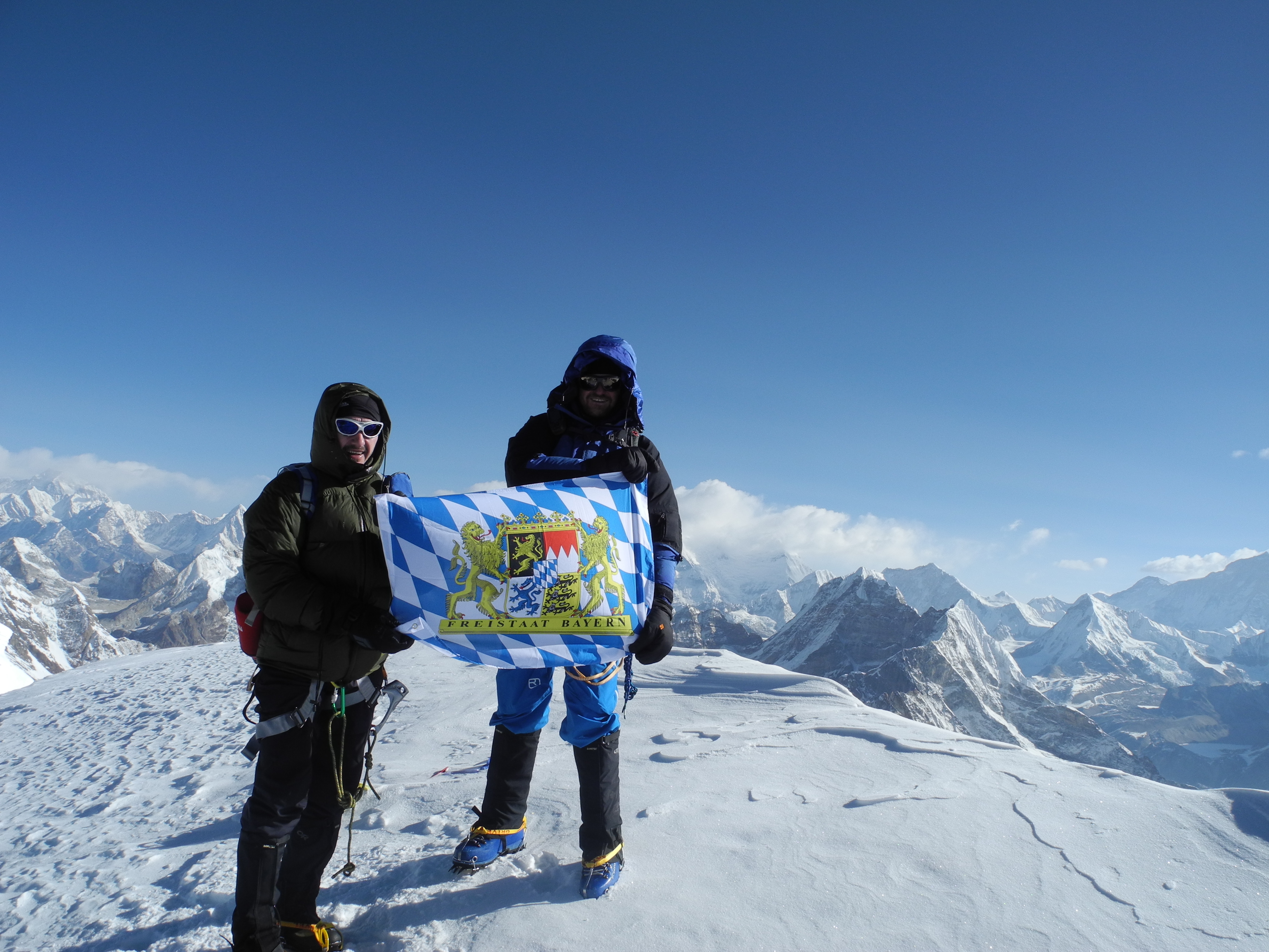
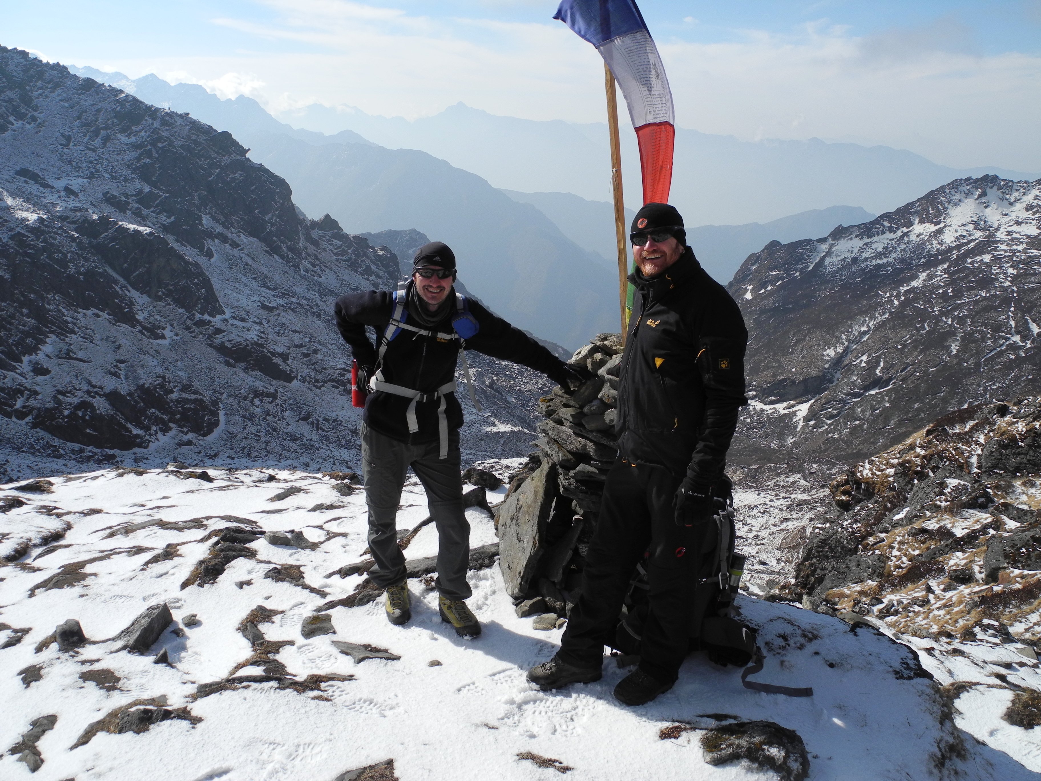
On 17 April 2014, just before seven in the morning, we stood on the 6,654 m summit of Mera Peak.

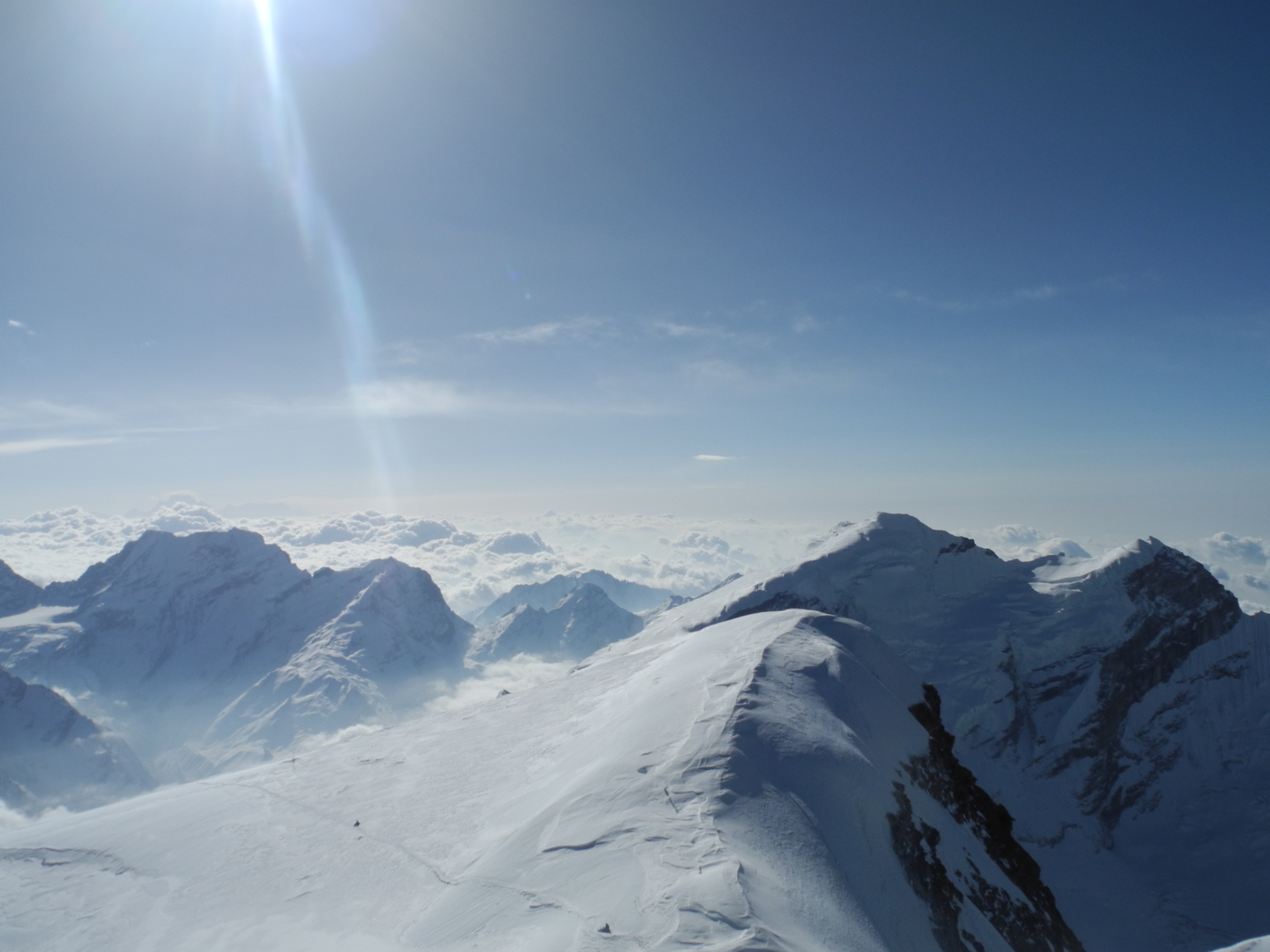
The Mera fully lived up to its reputation as the “most beautiful viewpoint mountain in the world” that day.

We couldn’t linger long. The descent demanded everything we had left. In one long, exhausting push we came down all the way to Tangnag – a real slog.

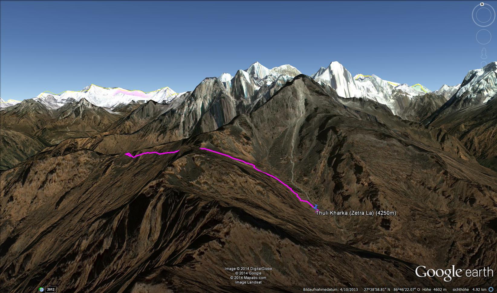
In the days that followed, the return route took us via Khote and Thuli Kharka back to Lukla. With every metre of descent the tension faded a little more. Three days ahead of schedule we arrived back in Lukla – the reserve days we had built in had not been needed.

After the flight back to Kathmandu, two days remained to process everything before the journey home.


Day Stages

Day 3 – Sightseeing Kathmandu

We used the first day in Kathmandu to get to know our guide Surcha Tamang and ease ourselves in gently. A little sightseeing was on the agenda – including the Monkey Temple, the narrow alleys of Thamel and the bustling life of Kathmandu.

Tag 3-01.JPG International Guesthouse, Kathmandu A beautiful hotel in Thamel, right in the heart of Kathmandu

Tag 3-02.JPG Monkey Temple

Tag 3-03.JPG Swayambhunath – Buddhist stupa at the Monkey Temple

Tag 3-04.JPG

Tag 3-05.JPG

Tag 3-06.JPG


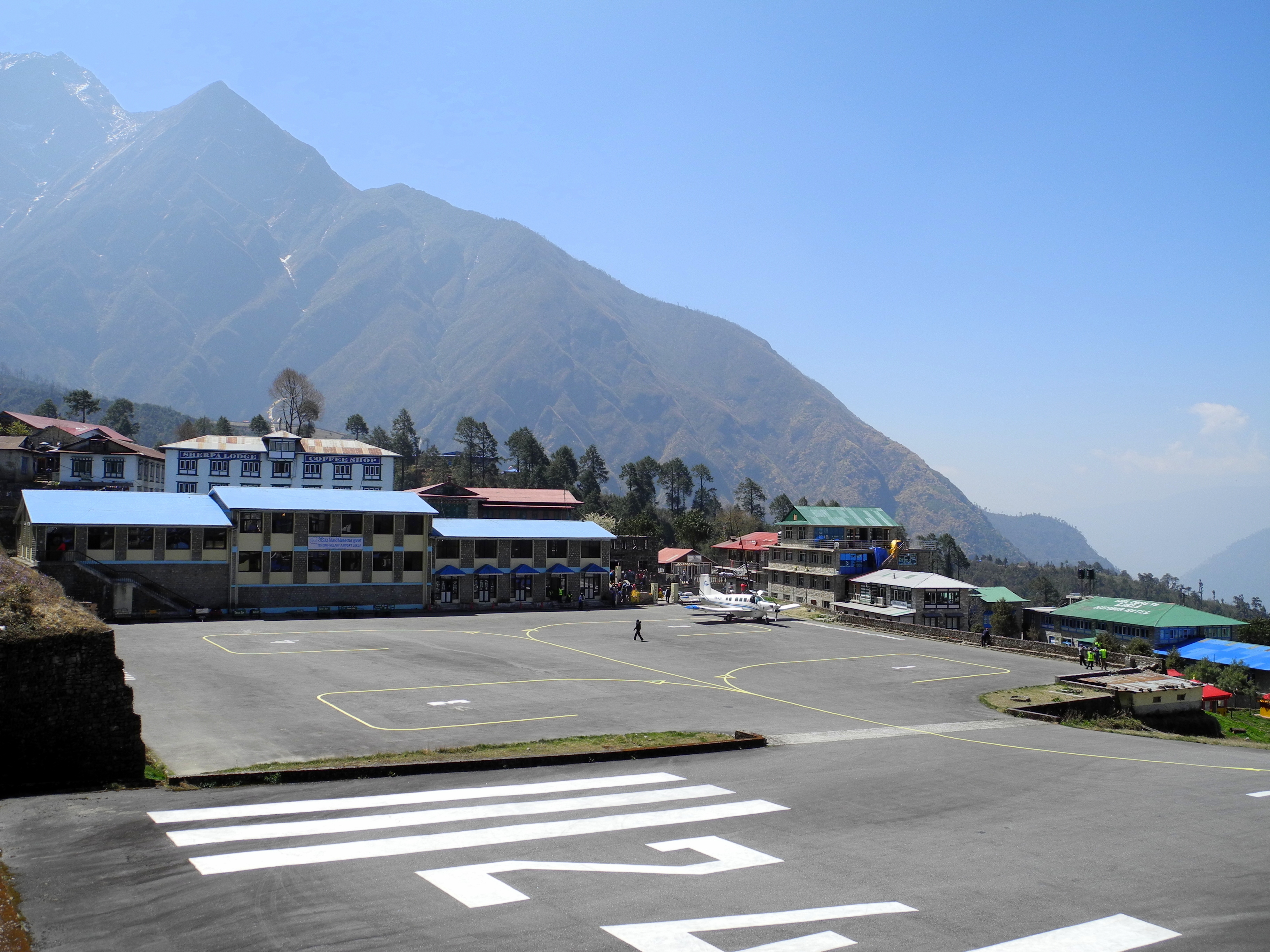
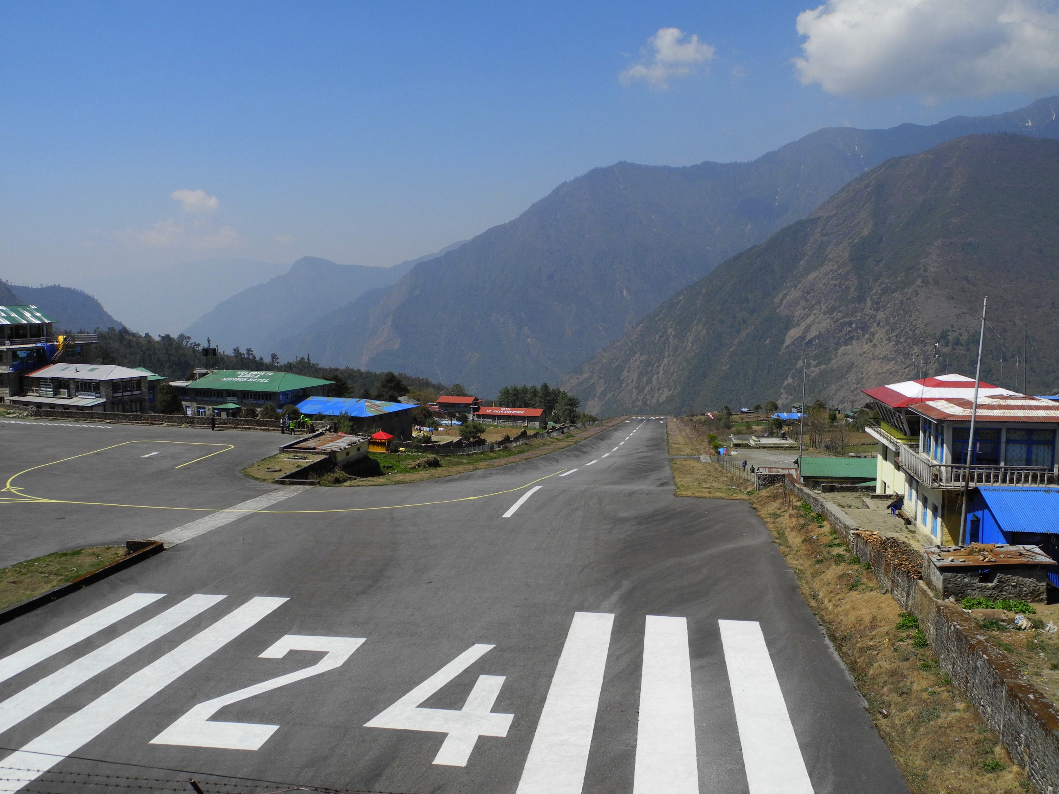
Day 4 – Flight to Lukla, Lukla to Phakding

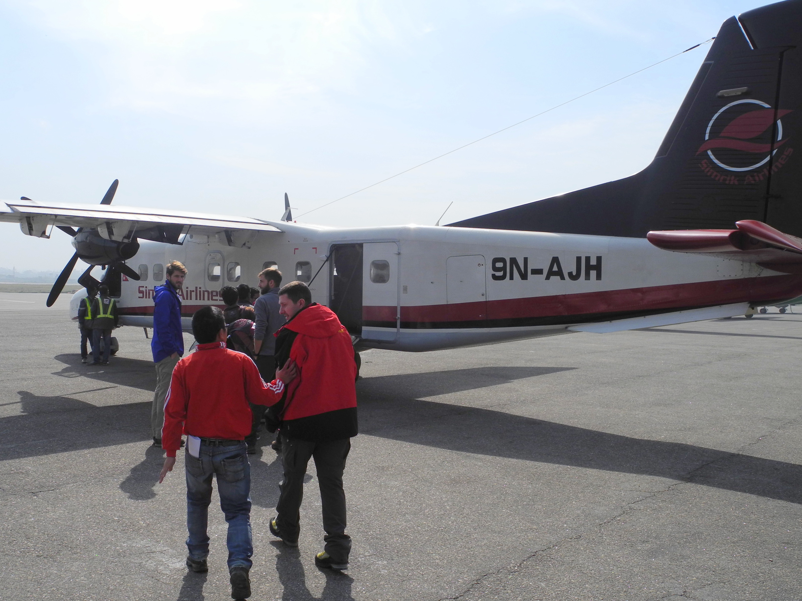
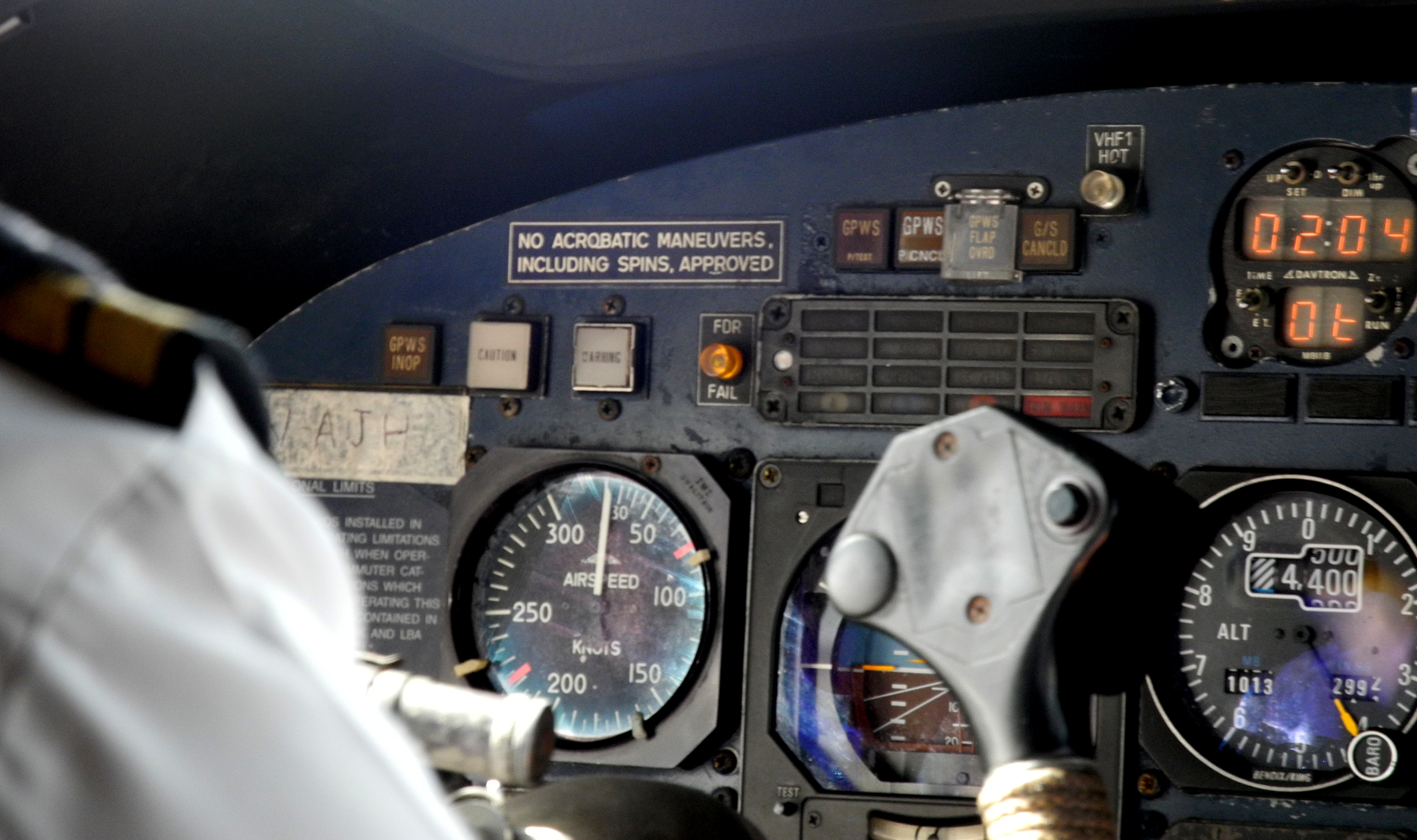
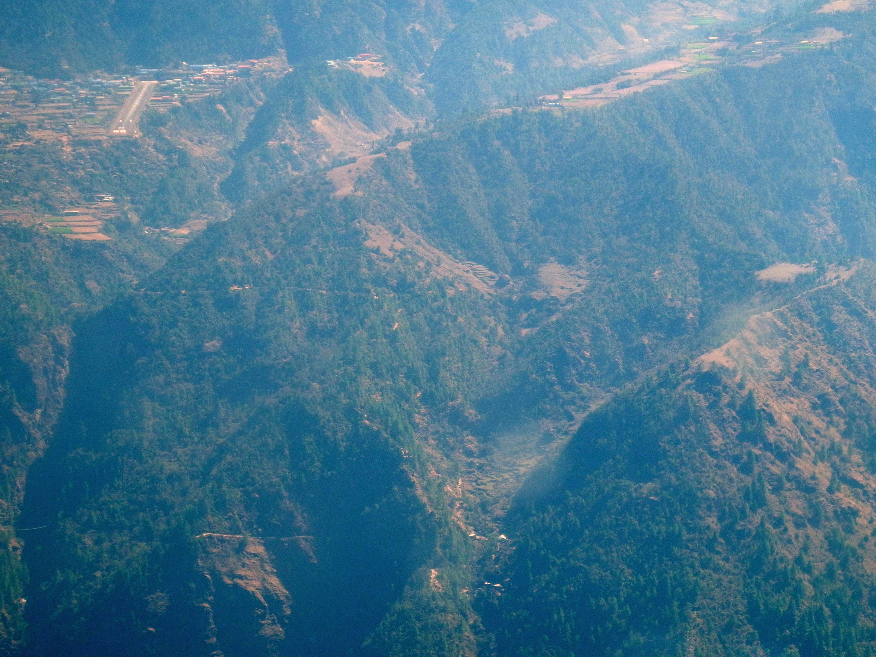
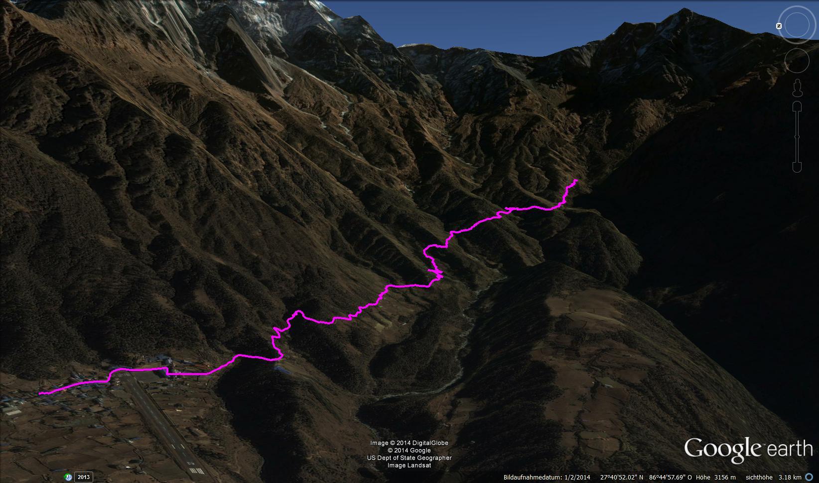
The flight to Lukla in a small aircraft is an experience in itself. The famous runway with its 12% gradient and 460 m length leaves little time for second thoughts. Then the first stretch on foot, descending to Phakding.

Tag 4-02.jpg Kathmandu Airport – Surcha does his job and reassures Tom before the flight to Lukla. Tom had read some rather alarming accounts beforehand. Not exactly a confidence booster. 😉

Tag 4-03.jpg No acrobatic manoeuvres required 😉

Tag 4-04.jpg A very relaxed pilot … 😉

Tag 4-05.jpg The landing strip up to the left … genuinely terrifying 😱

Landing at Tenzing-Hillary Airport in Lukla – one of the most adventurous landing procedures in the world.

Tag 4-01.jpg After stowing our high-altitude gear at the lodge, we were off. The Gokyo Trek, chosen as our acclimatisation tour ahead of the summit attempt, led us from Lukla to Phakding. Despite all the preparation, you certainly feel the unfamiliar 18 kg pack – including 2 litres of water – on that first day. Fortunately the body adapts quickly.

Tag 4-06.jpg Departing Lukla – the Zetrawa La is visible in the background, the pass we would have to cross in the second part of our expedition. From here there are no more roads; the entire region is supplied by the countless local porters.

Tag 4-07.jpg

Tag 4-08.jpg Suspension bridges become welcome daily companions from here on, saving many a tedious detour.

Tag 4-09.jpg Impressive scenery at the start of the Khumbu Valley …

Tag 4-10.jpg

Tag 4-11.jpg Prayer wheels of all sizes are always close at hand.


Day 5 – Phakding to Namche

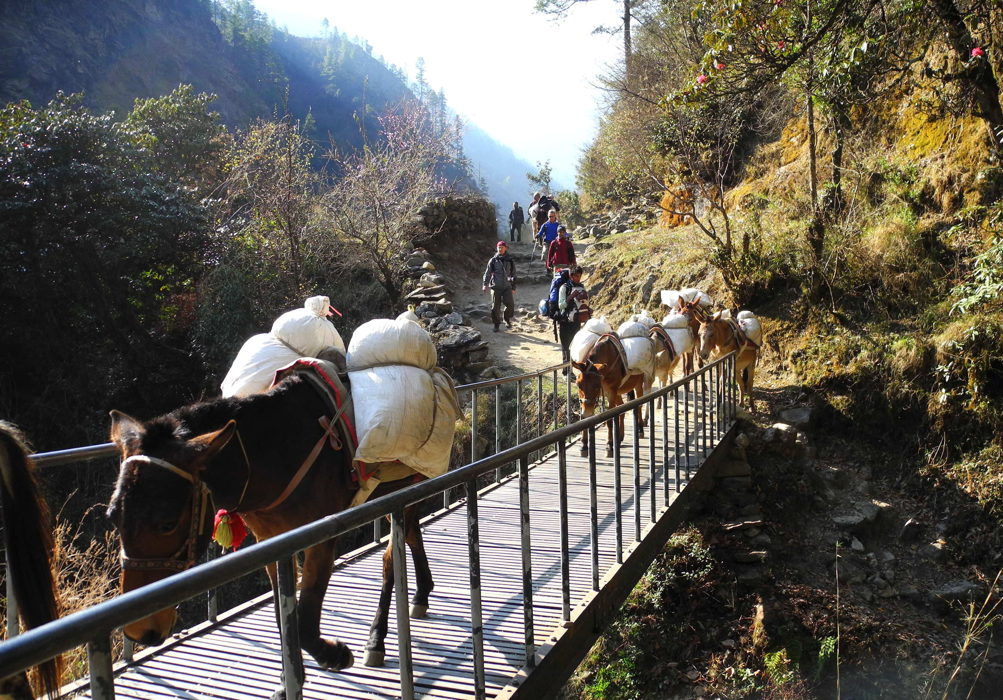
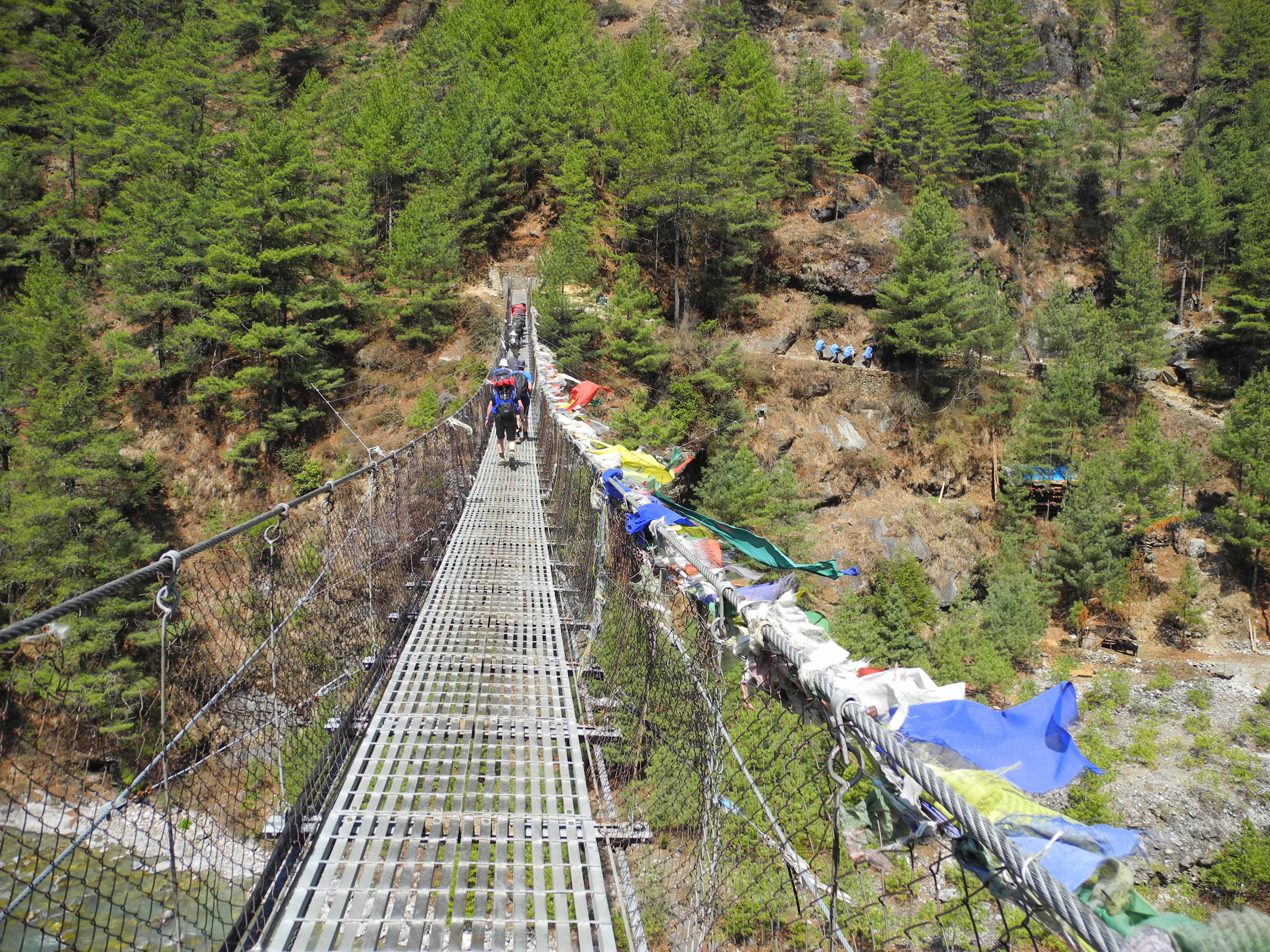
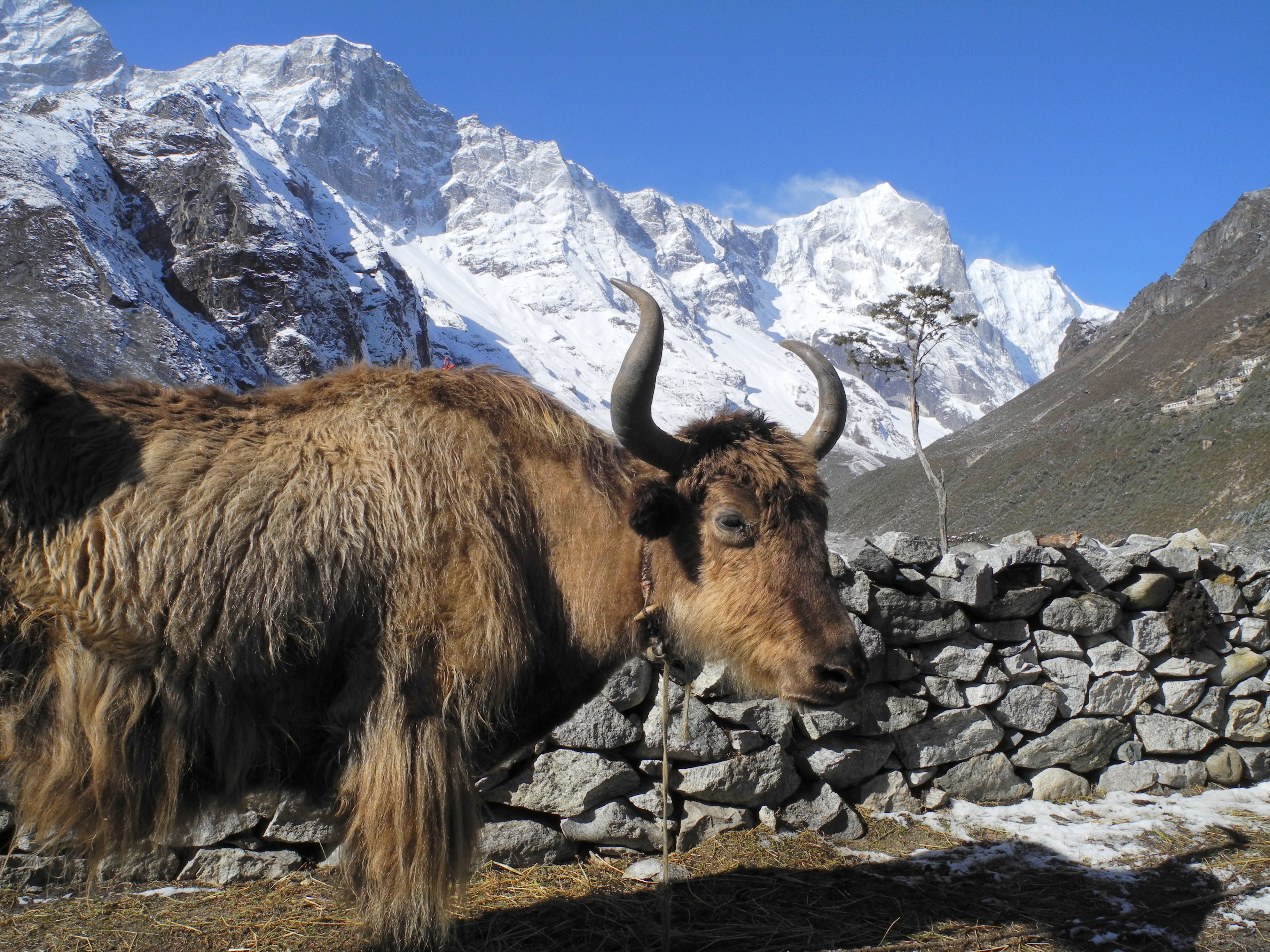
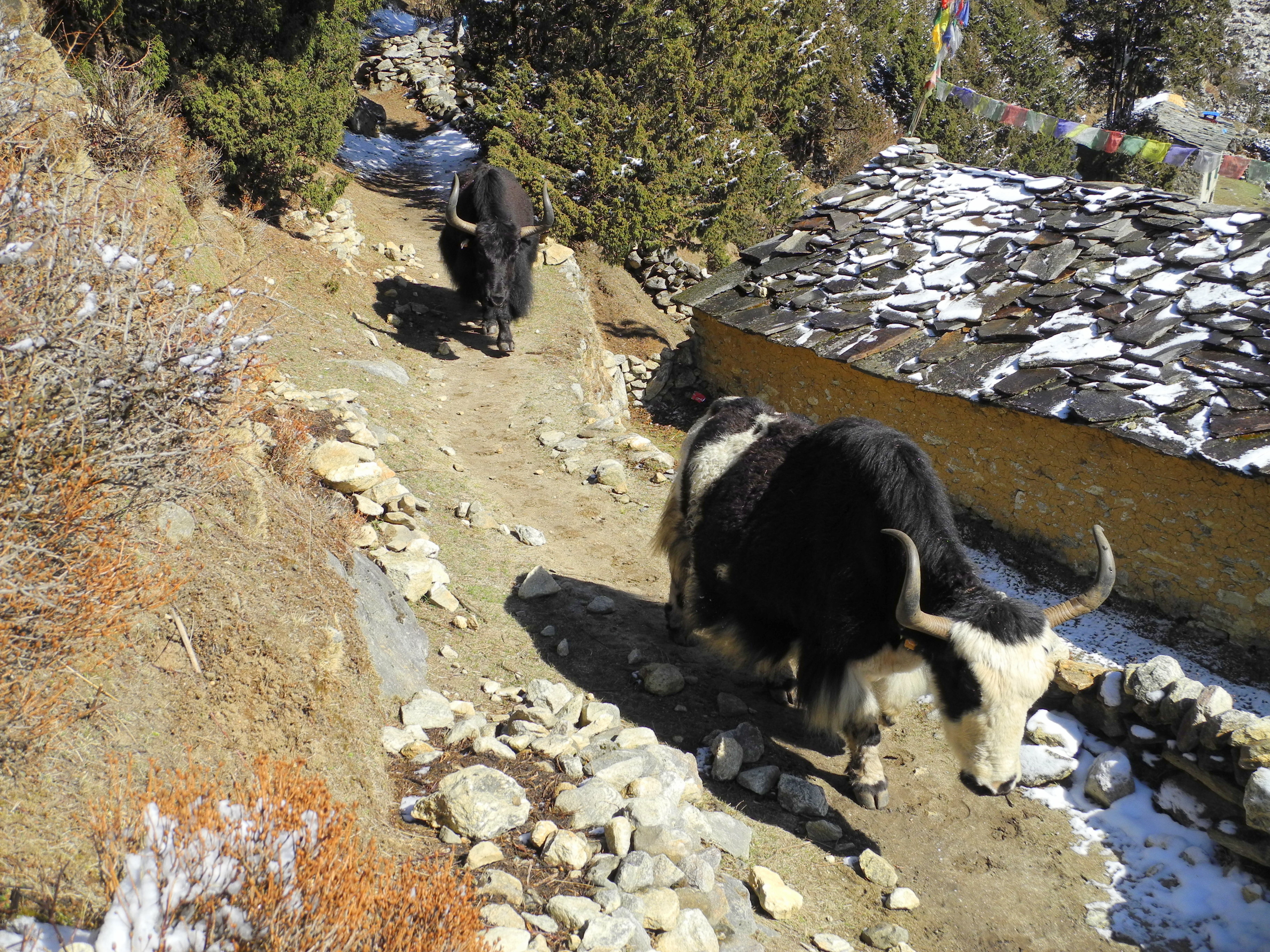
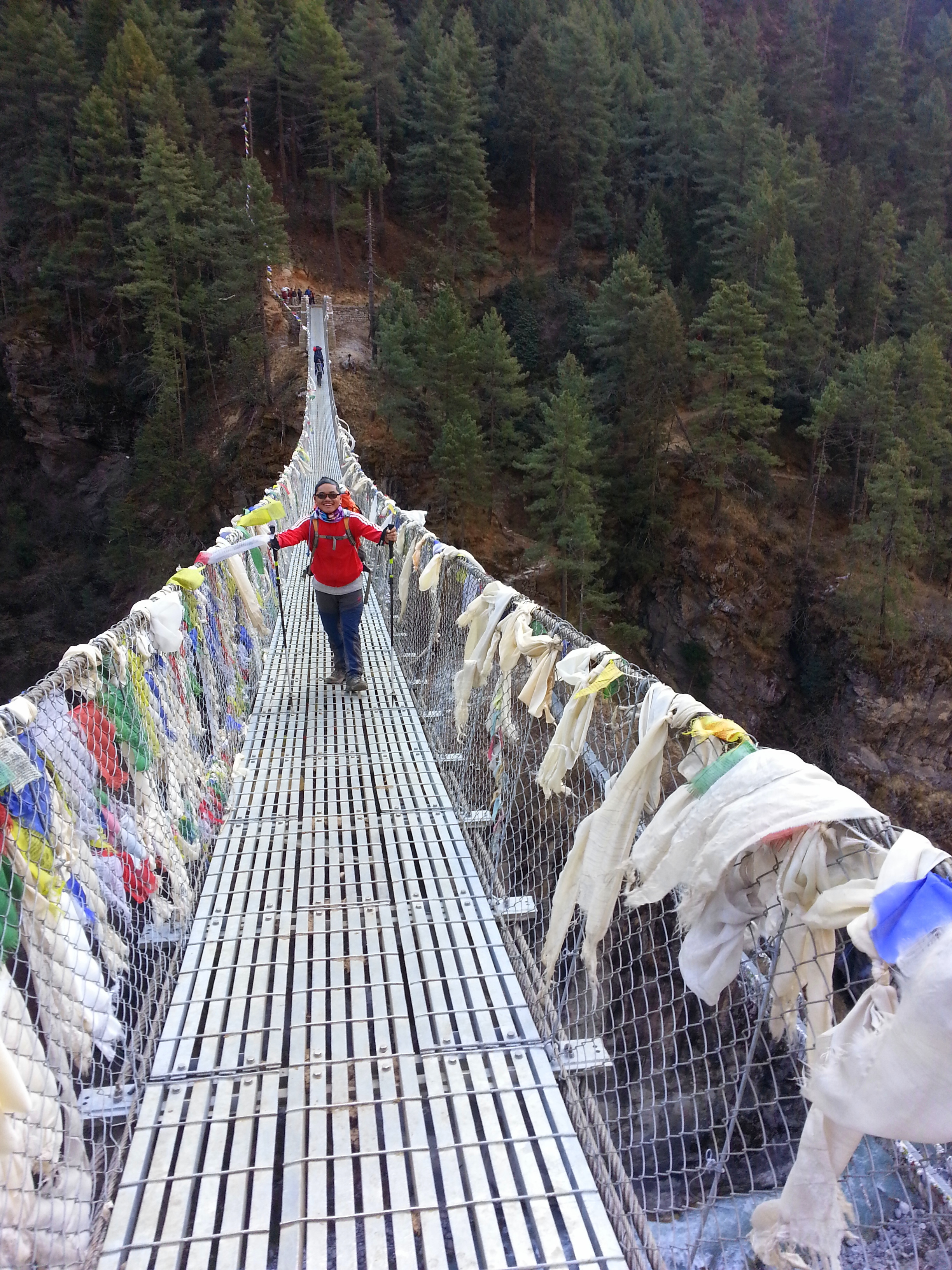
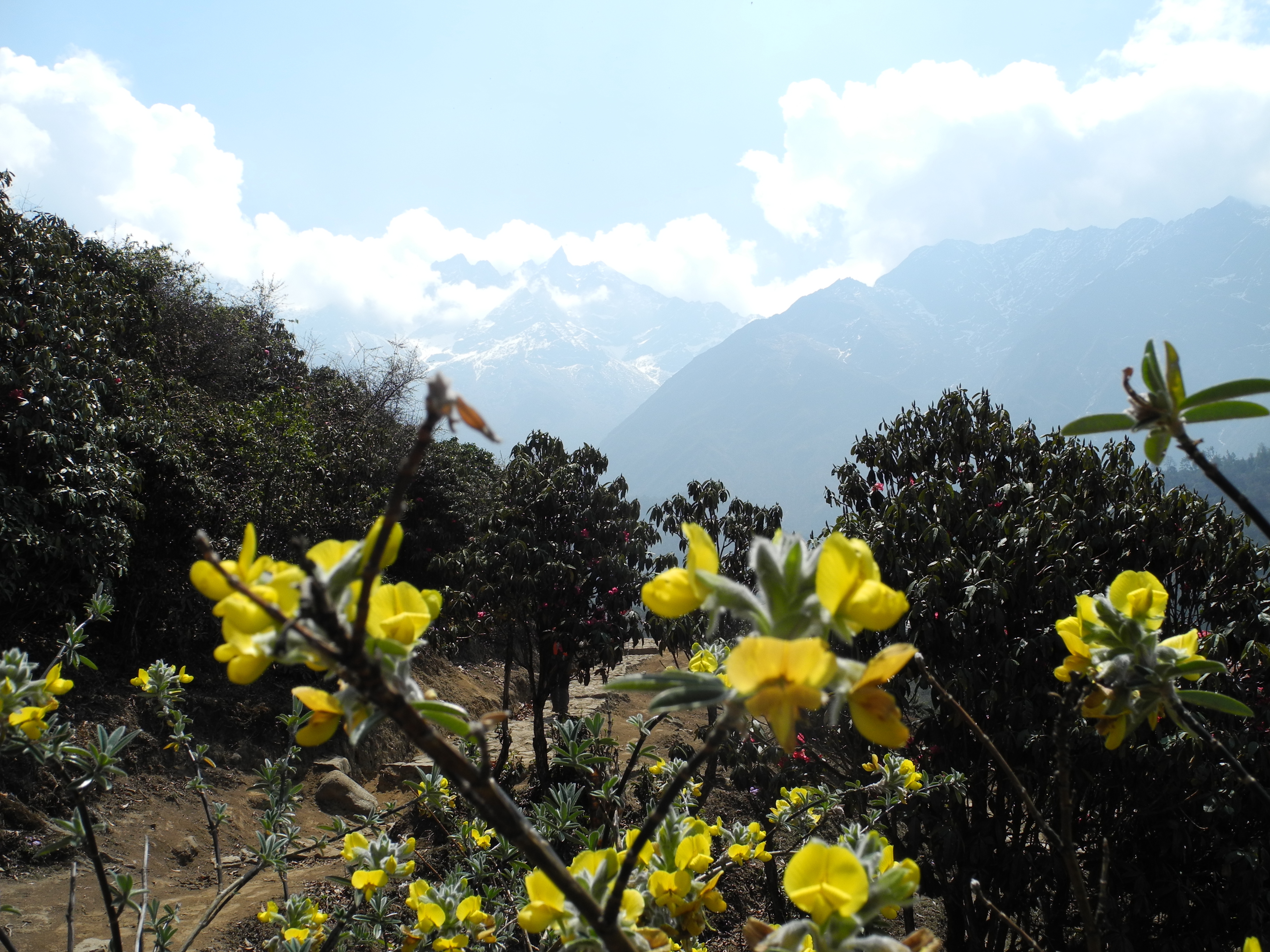
The ascent from Phakding to Namche (3,440 m) is a first real test with nearly 800 metres of elevation gain. Suspension bridges, yaks, colourful prayer flags – the EBC Trail shows its most characteristic sides early on.

Tag 5-01.jpg

Tag 5-02.jpg Beautiful rhododendrons lining the paths

Tag 5-03.jpg Mule caravans from every direction! Always position yourself on the uphill side to avoid being accidentally nudged off the edge by an animal.

Tag 5-04.jpg Small stops along the way invite you to pause and rest

Tag 5-05.jpg

Tag 5-06.jpg

Tag 5-07.jpg The mules with the colourful headgear are the group leaders. They already know the trails and are true professionals.

Tag 5-08.jpg Children often carry heavy loads to supplement family income. Officially porters must be 18 and carry no more than 30 kg. The reality is unfortunately different.

Tag 5-09.jpg

Tag 5-10.jpg

Tag 5-11.jpg Many will recognise these two distinctive suspension bridges on the way to Namche Bazaar from Hollywood films. Everyone heading for Everest must pass through here.

Tag 5-12.jpg Several hundred metres of ascent lie ahead from here. Keep a careful eye on your pulse – altitude sickness is already a concern at this point!

Tag 5-13.jpg … on the suspension bridge …

Tag 5-14.jpg Arrived in Namche Bazaar

Tag 5-15.jpg This is where the Sagarmatha National Park begins (Sagarmatha is the local name for Mt. Everest)


Day 6 – Acclimatisation at Namche

Golden rule: sleeping altitude should not increase by more than 300 metres per day! After gaining nearly 800 metres the previous day, a mandatory acclimatisation day in Namche followed. We used it to hike up to the Everest View Hotel with its stunning views of Everest and Ama Dablam, then on the descent visited the Hillary Secondary School in Khumjung and the Hillary Hospital in Khunde.

On 18 April 2014 – the very day we came back down from our summit – seracs broke away from the western spur of Mount Everest, triggering an ice avalanche that killed sixteen Sherpas in the Khumbu Icefall. A large number of those Sherpas came from Khumjung.

Tag 6-01.jpg

Tag 6-02.jpg Namche Bazaar – truly a busy bazaar for last-minute purchases before leaving civilisation behind for days, weeks or even months.

Tag 6-03.jpg

Tag 6-04.jpg Mt. Everest in the distance …

Tag 6-05.jpg Ama Dablam

Tag 6-06.jpg Impressive ice giants wherever you look

Tag 6-07.jpg

Tag 6-08.jpg

Tag 6-09.jpg We made good use of the prayer wheels to cleanse ourselves of our sins – they must be very great indeed 😉

Tag 6-10.jpg Khunde Hospital (3,800 m) – this sign should be taken seriously!

Tag 6-11.jpg


Day 7 – Namche to Thame

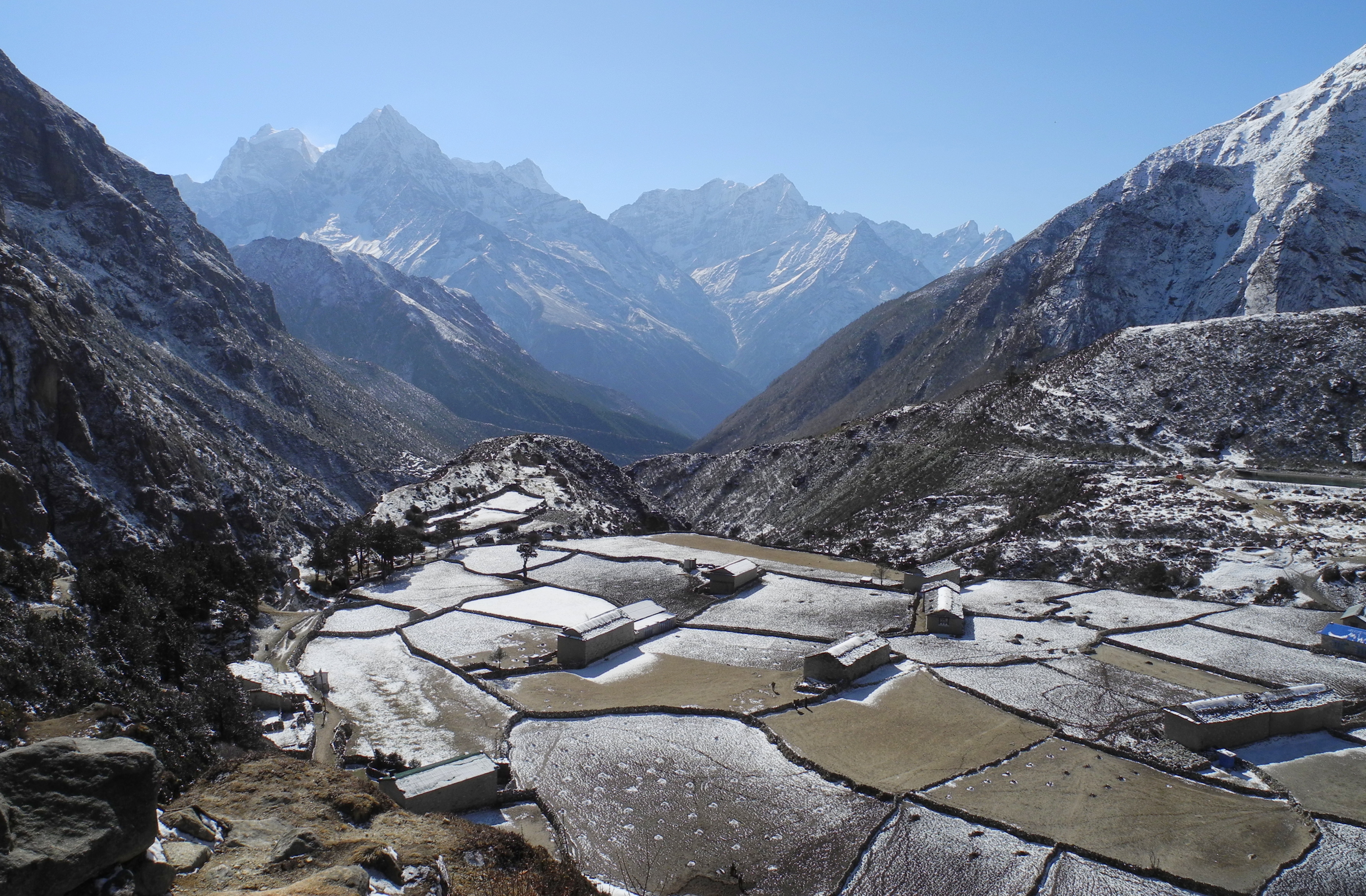
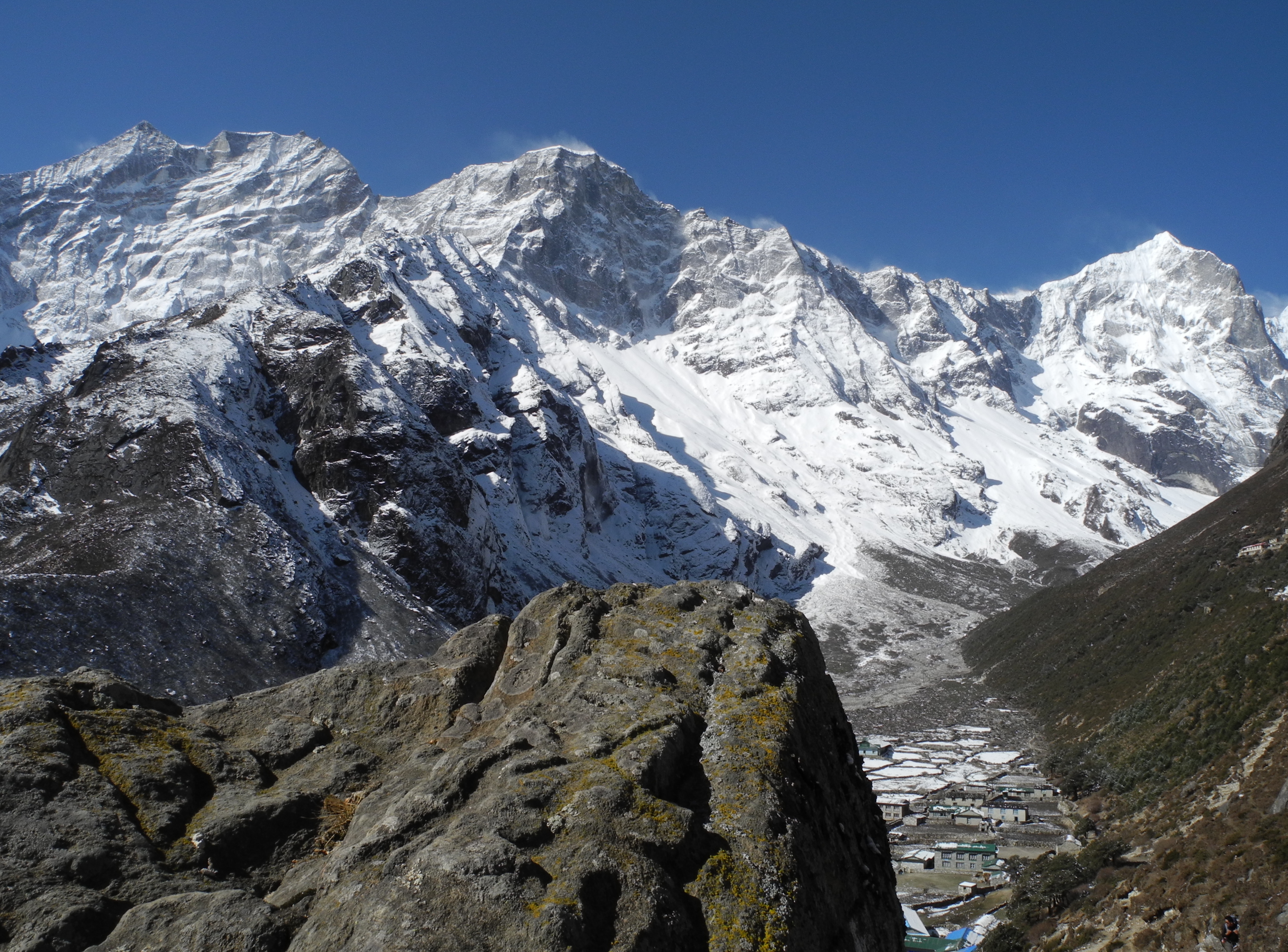
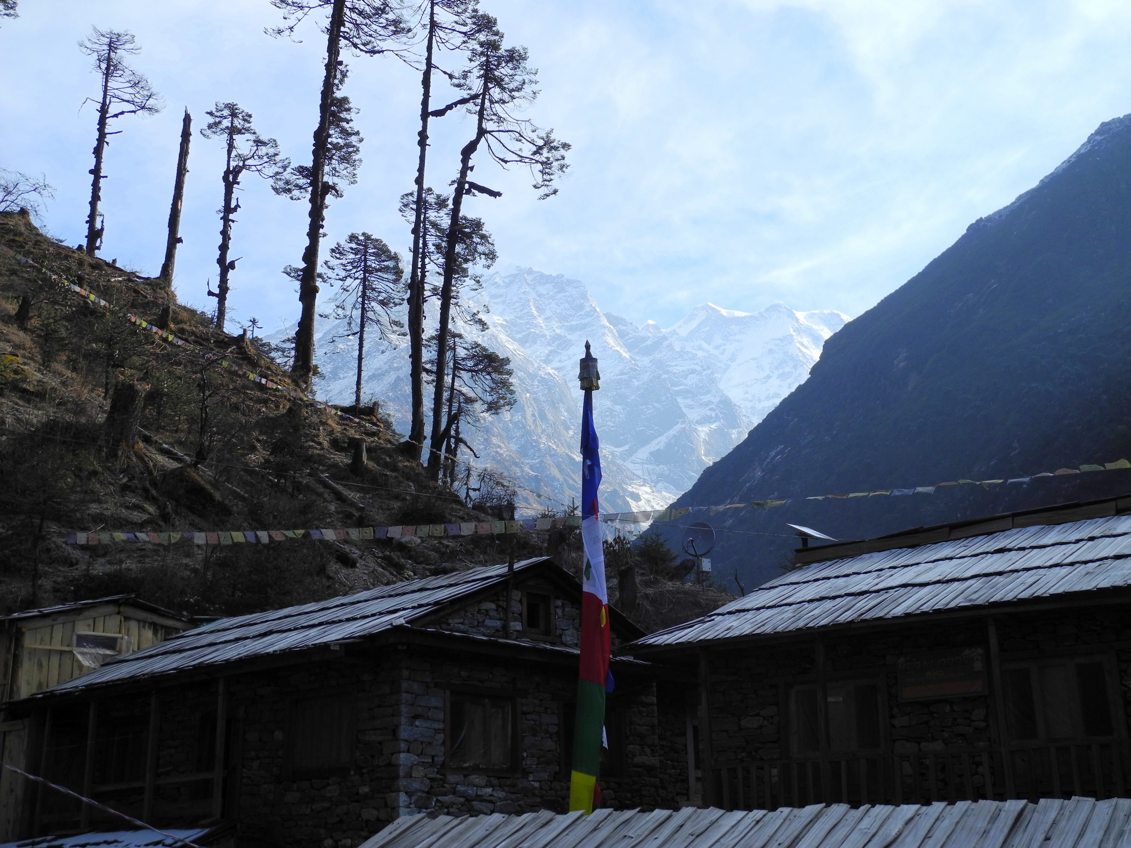
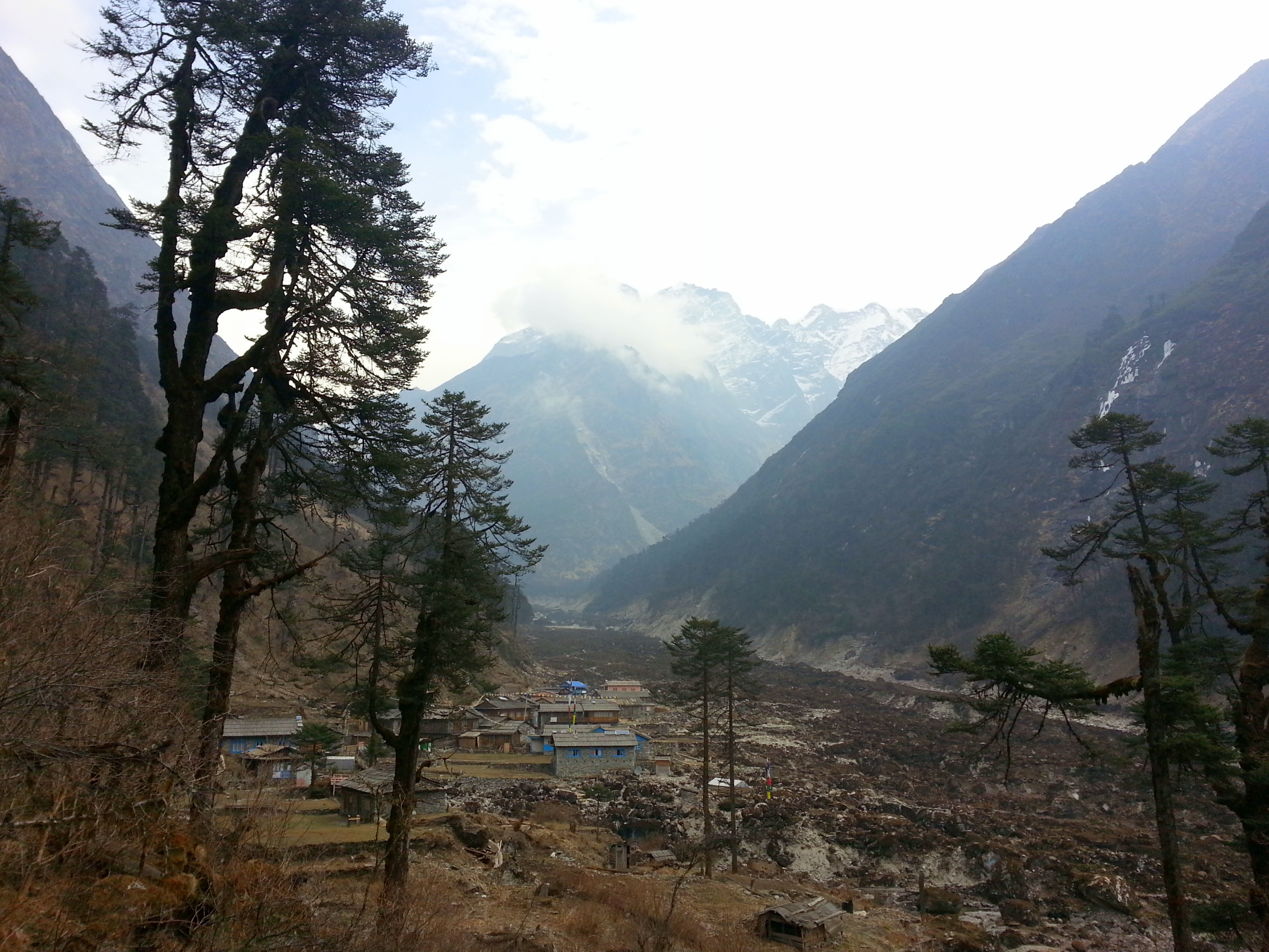
Away from the tourist bustle of Namche into the quieter Sherpa country. The Thame Valley welcomes us with impressive views of the surrounding peaks.

Tag 7-01.jpg

Tag 7-02.jpg

Tag 7-03.jpg Making the most of every resource 😉

Tag 7-04.jpg

Tag 7-05.jpg

Tag 7-06.jpg

Tag 7-07.jpg

Tag 7-09.jpg Arriving in Sherpa country …

Tag 7-08.jpg This is where the “true heroes” of high-altitude mountaineering live!


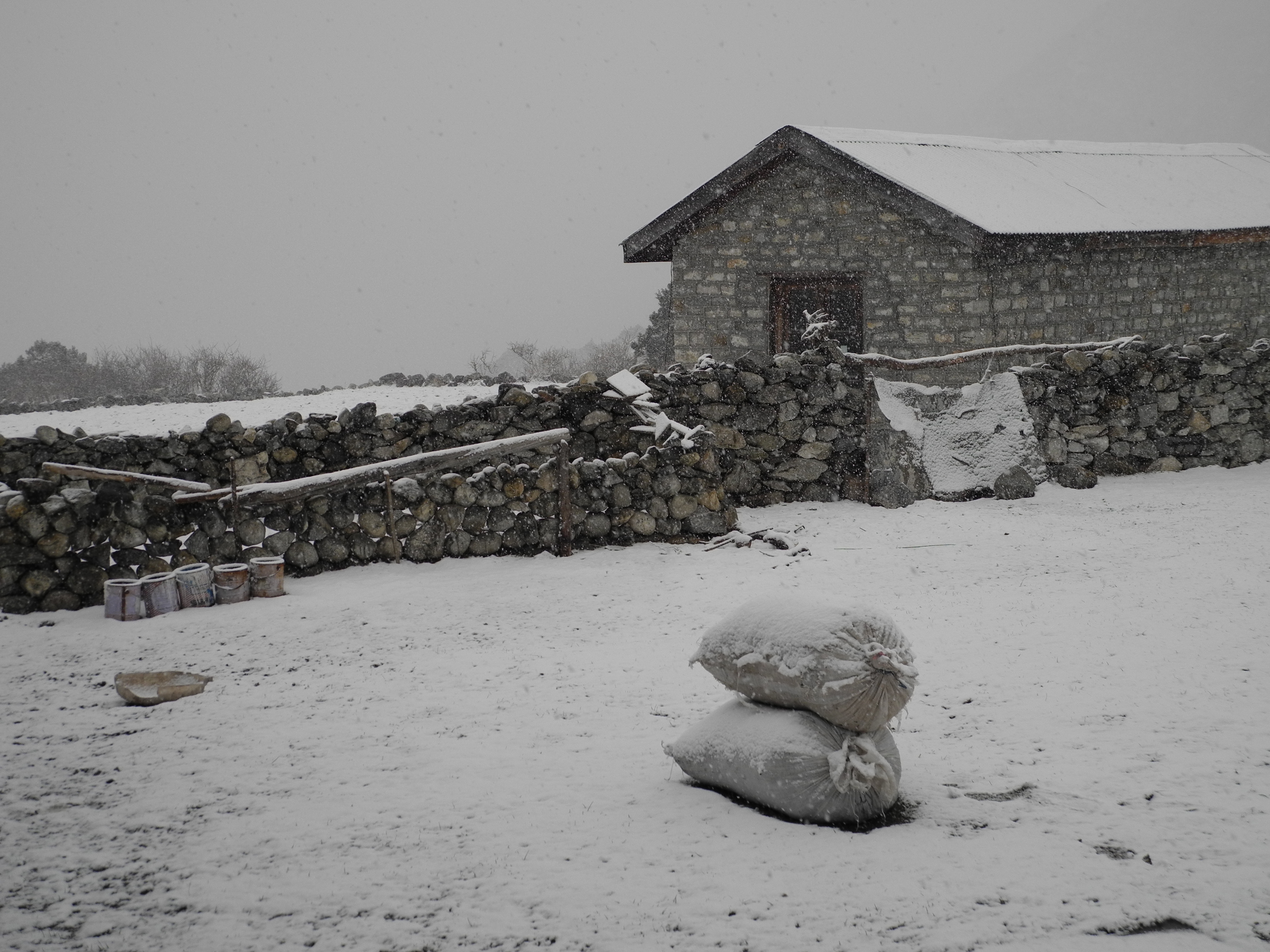
Day 8 – Thame to Lungden

Ascending to the last traces of civilisation in the Thame Valley – Lungden at 4,370 m. The landscape grows more barren, the air thinner.

Tag 8-01.jpg

Tag 8-02.jpg

Tag 8-03.jpg Thame (3,800 m) – a yak against a magnificent mountain backdrop

Tag 8-04.jpg

Tag 8-05.jpg This is exactly what Nepal always looked like in my imagination …

Tag 8-06.jpg

Tag 8-07.jpg At this altitude only yaks serve as pack animals (up to 5,000 m). Mules don’t make it this far.

Tag 8-08.jpg

Tag 8-09.jpg

Tag 8-10.jpg

Tag 8-11.jpg The altitude makes itself clearly felt and takes a real toll. None of us had ever been this high before!

Tag 8-12.jpg Several mountaineering legends left their mark here decades ago.

Tag 8-13.jpg Hans Kammerlander – another mountaineering legend alongside Reinhold Messner

Tag 8-14.jpg Everything a person could need 😉

Tag 8-15.jpg


Day 9 – Acclimatisation at Lungden

An unplanned acclimatisation day in Lungden. Mild altitude-sickness symptoms on my part called for patience. At altitude you can’t force anything.

Tag 9-01.jpg

Tag 9-02.jpg A brief slow-paced walk up to 4,750 m and, since there was no view anyway …

Tag 9-04.jpg … back to the lodge for a chat.

Tag 9-03.jpg


Day 10 – Lungden to Gokyo (via Renjo La, 5,340 m)

Around midday we reached the pass and were rewarded with a breathtaking panorama of Everest, Nuptse, Lhotse, Makalu and many other ice giants. The descent to Gokyo was longer than expected.

Tag 10-01.jpg

Tag 10-02.jpg At last: above the clouds …

Tag 10-03.jpg Made it: on the pass with Mt. Everest in the background.

The view from Renjo La Pass at 5,340 m – three eight-thousanders in a single glance.

Tag 10-04.jpg To the right of Everest is the Lhotse – the fourth-highest mountain in the world, connected directly to Everest via the South Col. The prominent ridge in the foreground belongs to the Nuptse chain. Look carefully and you can make out the South Summit and the Hillary Step. The small subsidiary peak just below the main summit is the South Summit. The Hillary Step sits precisely on this ridge between the South Summit and the main summit. Since the 2015 earthquake in Nepal the Hillary Step has changed significantly or partially collapsed.

Tag 10-05.jpg

Tag 10-06.jpg

Tag 10-07.jpg Happy companions 🫂

Tag 10-08.jpg

Tag 10-09.jpg

Tag 10-10.jpg The descent to Gokyo was more demanding and longer than expected in the slushy snow.


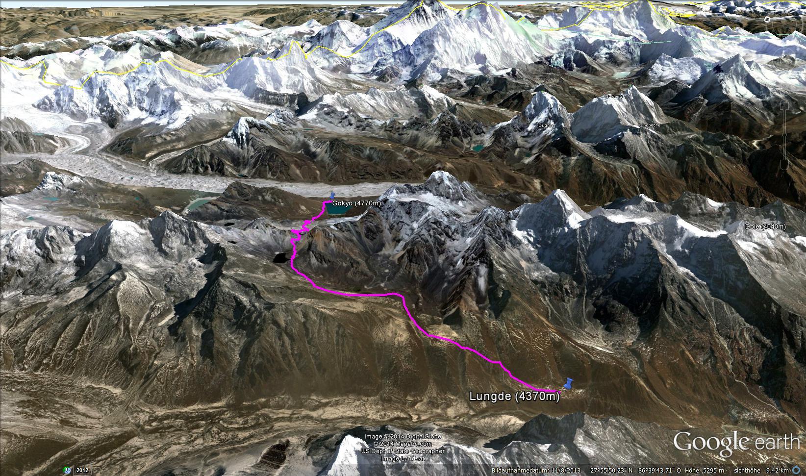
Day 11 – Gokyo Ri (5,320 m) and Descent to Dole

Since we would be dropping our sleeping altitude considerably that day, we could afford to build in some acclimatisation training – so before breakfast we set off at a brisk pace in perfect weather to the 5,320 m summit of Gokyo Ri. Three eight-thousanders and the Ngozumba Glacier at our feet – a view that topped everything. Then 16 km down to Dole.

Tag 11-01.jpg

Tag 11-02.jpg

Tag 11-03.jpg View of the Ngozumba Glacier

Tag 11-04.jpg Cho Oyu is visible on the left.

Tag 11-05.jpg Cho Oyu is the sixth-highest mountain in the world at 8,188 m above sea level.

Tag 11-06.jpg View of the Ngozumba Glacier with Mt. Everest in the background

Tag 11-07.jpg Everest – Nuptse – Lhotse

Tag 11-08.jpg View of the Ngozumba Glacier with Cho Oyu in the background

Tag 11-09.jpg A happy man 😊

Tag 11-10.jpg And another happy man 😊

Tag 11-11.jpg Sadly not every mountaineer is as fortunate as we were. Up here it quickly becomes clear that the fun can turn very dangerous very fast – and can end in tragedy.

Tag 11-12.jpg We had plenty of luck on our side.

Tag 11-13.jpg To round off the day we climbed the lateral moraine for a close-up view of the impressive Ngozumba Glacier. Trekkers heading for Everest Base Camp via the Cho La Pass route have to cross it. The porters had told us plenty of horror stories about the glacier swallowing people who were never seen again.

Tag 11-14.jpg

Tag 11-15.jpg One last look back at Gokyo and the frozen third lake

Tag 11-17.jpg There are three Gokyo lakes …

Tag 11-16.jpg

Descent from Gokyo to Dole along the Ngozumba Glacier.


Day 12 – Dole to Namche

Return march from Dole to Namche. Back in Namche at last – time for a Skype call home.

Tag 12-01.jpg

Tag 12-02.jpg

Tag 12-03.jpg

Tag 12-04.jpg Tengboche is visible in the background with the world-famous Dawa Choling Gompa monastery.

Tag 12-05.jpg Our ever-cheerful guide Surcha has become a true friend by now.

Tag 12-06.jpg Ama Dablam

Tag 12-07.jpg Everything – including building materials – has to be carried by porters. We were told that the cast-iron stoves found in every lodge were carried up here the same way. 😲

Tag 12-08.jpg The EBC trail along the Khumbu Valley.

Tag 12-09.jpg

Tag 12-10.jpg

Tag 12-11.jpg

Tag 12-12.jpg Trail maintenance as a business model. Works best on the heavily-trafficked EBC Trail, of course.


Day 13 – Namche to Lukla

In one go – the roughly 22 km from Namche to Lukla. We tagged along with a group of young local porters and refused to be shaken off – a genuine endurance test.

Tag 13-01.jpg

Tag 13-02.jpg

Tag 13-03.jpg

Tag 13-04.jpg

Tag 13-05.jpg

Tag 13-06.jpg

Tag 13-07.jpg I have never met tougher, more resilient people than the porters and Sherpas of Nepal.


Day 14 – Rest Day in Lukla

Rest day in Lukla. Watching the airport traffic, exploring the shops, visiting the German Bakery – and mentally preparing for the start of phase two.

Tag 13-08.jpg Not quite original, but certainly original 😉

Tag 15-02.jpg As a rock and metal fan, that says it all! 🎸 🤘🔥⚡🖤

Tag 15-06.jpg What does that remind me of? 🤔

Tag 14-01.JPG Busy air traffic at Tenzing-Hillary Airport in Lukla in good weather.

Tag 14-02.JPG Tenzing-Hillary Airport Lukla

Tag 14-03.JPG The runway at Lukla

Mountaineers and trekkers from all over the world are flown in here, and the entire Khumbu region is supplied with provisions. Expeditions to several of the 8,000 m peaks set off from here. In bad weather, flights are impossible – or at the very least extremely hazardous. Lukla is not without reason counted among the most dangerous airports in the world.

Tag 14-04.JPG Too cute for words! 🐕💖

Tag 15-03.jpg

Tag 15-04.jpg

Tag 14-05.JPG


Day 15 – Lukla to Chutanga

Start of phase two: heading for Mera Peak. In Chutanga we met seven Austrian mountain rescuers who had nothing good to say about the Zetra La. We remained undaunted.

Tag 15-01.jpg

Tag 15-05.jpg The permit has arrived! Time to go. 🧗 🏔️

Tag 15-07.jpg For now it’s a leisurely walk through beautiful scenery.

Tag 15-08.jpg

Tag 15-09.jpg This area is very remote though – nothing of the hustle of the EBC Trail remains.

Tag 15-10.jpg

Tag 15-11.jpg The paths become noticeably wilder.

Tag 15-12.jpg Accommodation is far more basic than in the Khumbu Valley.

Tag 15-13.jpg

Tag 15-14.jpg The people remain just as warm and hospitable as ever.


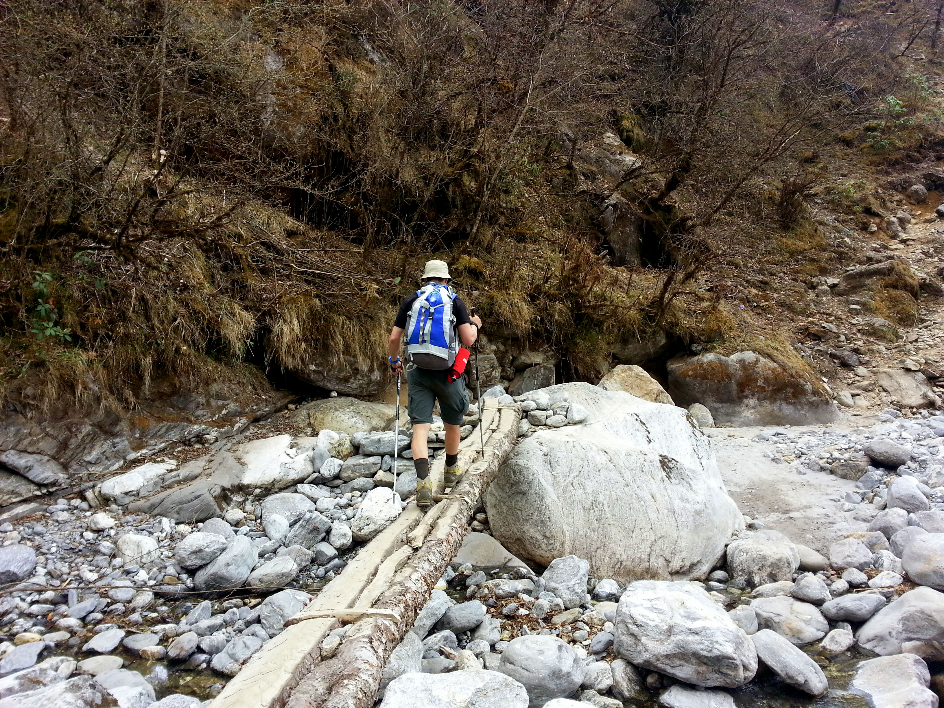
Day 16 – Chutanga to Thuli Kharka (via Zetra La, approx. 4,600 m)

The ascent to the Zetra La went on endlessly. Above 4,000 m the path was permanently iced. Every step had to be carefully considered. When we reached the pass, a thunderstorm rolled in – a deeply unsettling experience.

Tag 16-01.jpg

Tag 16-02.jpg

Tag 16-03.jpg A beautiful early morning – it would be the last clear outlook of its kind for the next few days.

Tag 16-04.jpg A demanding stage lies ahead – a steep climb up to the 4,600 m Zetra La Pass.

Tag 16-05.jpg The weather change is already announcing itself.

Tag 16-06.jpg Wish I had my crampons to hand 😱

Tag 16-07.jpg Made it – time for a rest.

Tag 16-08.jpg Thunder rolling closer – it starts to snow.

Tag 16-09.jpg Suddenly we’re in the middle of a thunderstorm at 4,600 m.

Tag 16-10.jpg Conditions turn nasty and navigation becomes a real challenge.

Tag 16-11.jpg

Tag 16-12.jpg

Tag 16-13.jpg

Tag 16-14.jpg At last – shelter reached!

Tag 16-15.jpg

Tag 16-16.jpg This was the routine every evening in the lodges. From around 6 PM: waiting for dinner, a little small talk, then straight to the bunk. Rarely later than 8 PM.


Day 17 – Thuli Kharka to Khote

Descent through the snow to Khote. The weather had turned definitively after the pass crossing.

Tag 17-01.jpg

Tag 17-02.jpg The snowstorm has passed. We caught a local window of fine weather.

Tag 17-03.jpg

Tag 17-04.jpg Descending to Khote through snow-covered terrain.

Tag 17-05.jpg

Tag 17-06.jpg

Tag 17-07.jpg Several passes had to be crossed.

Tag 17-08.jpg

Tag 17-09.jpg Then down to Khote through the jungle.

Tag 17-10.jpg

Tag 17-11.jpg Beautiful rhododendrons everywhere you looked.

Tag 17-12.jpg

Tag 17-13.jpg

Tag 17-14.jpg

Tag 17-15.jpg

Tag 17-16.jpg

Down in the valley, then along the river to Khote.

Tag 17-17.jpg Khote is already in sight in the light drizzle.


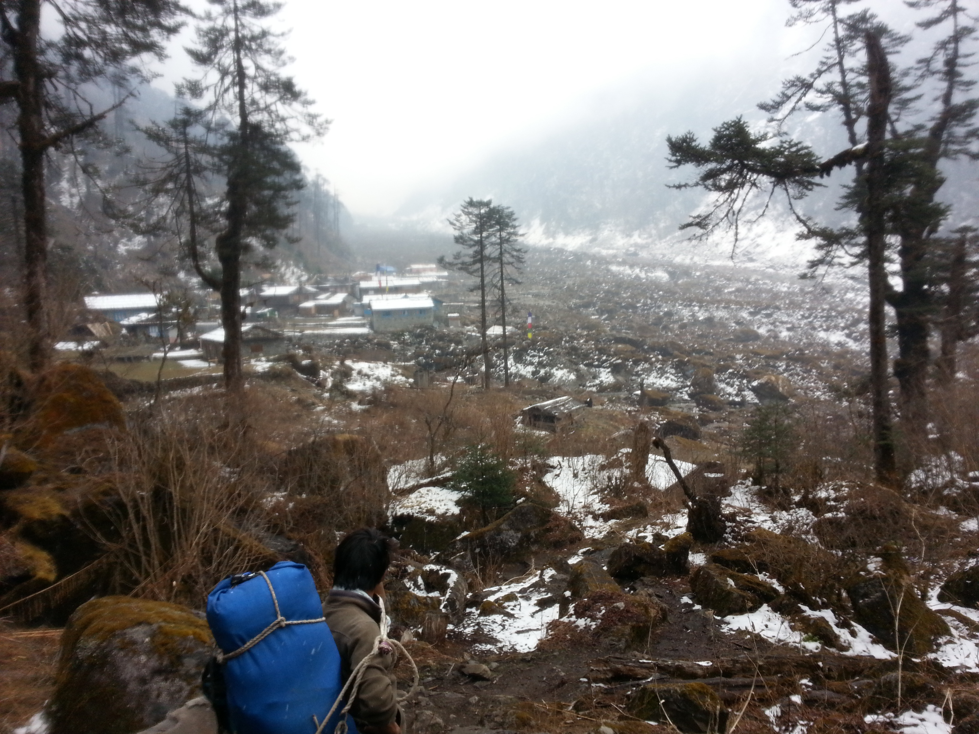
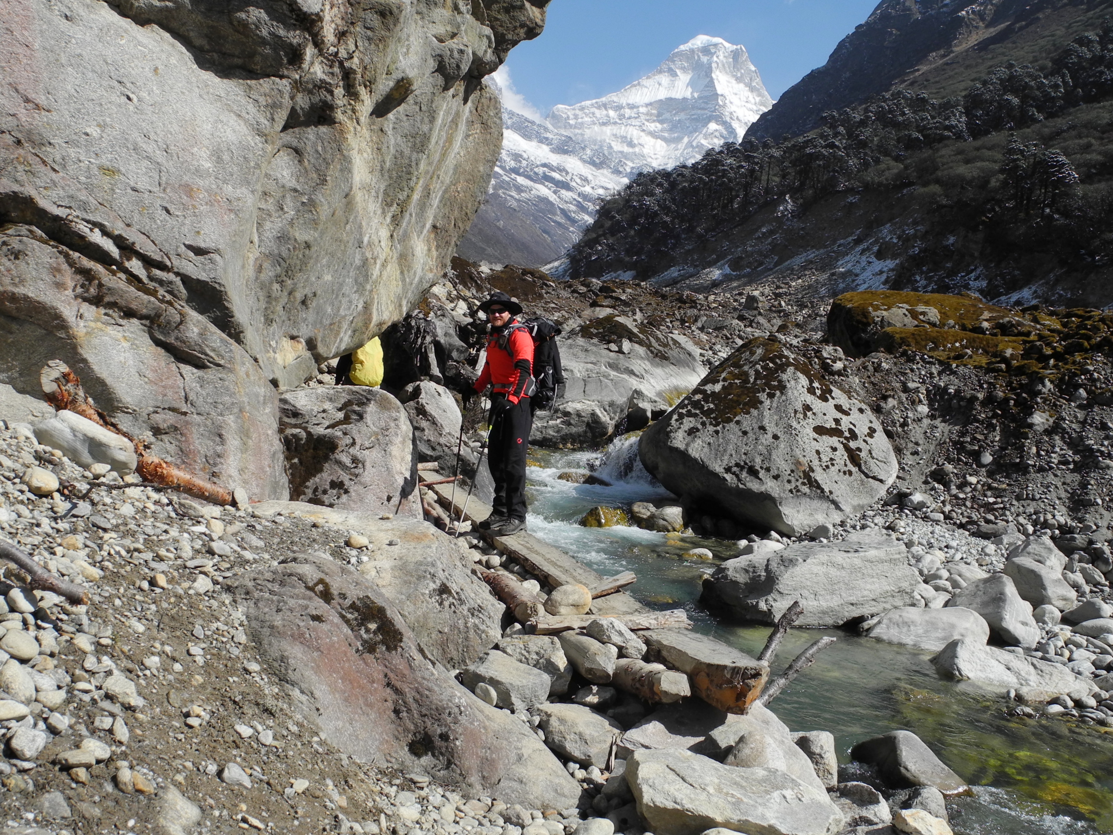
Day 18 – Khote to Tangnag

Ascent through the enormous river bed to Tangnag, where we met our climbing guide Lakba Sherpa. Nobody had reached the summit for days – the mood was tense.

Tag 18-01.jpg

Tag 18-02.jpg We caught our first glimpse of Mera Peak here (back right)

Tag 18-03.jpg For hours we followed the river …

Tag 18-04.jpg

Tag 18-05.jpg

Tag 18-06.jpg

Tag 18-07.jpg

Tag 18-08.jpg A small cave temple by the wayside was worth a short detour.

Tag 18-09.jpg

Tag 18-10.jpg

Tag 18-11.jpg Snow began falling again.

Tag 18-12.jpg Finally arrived in Tangnag.


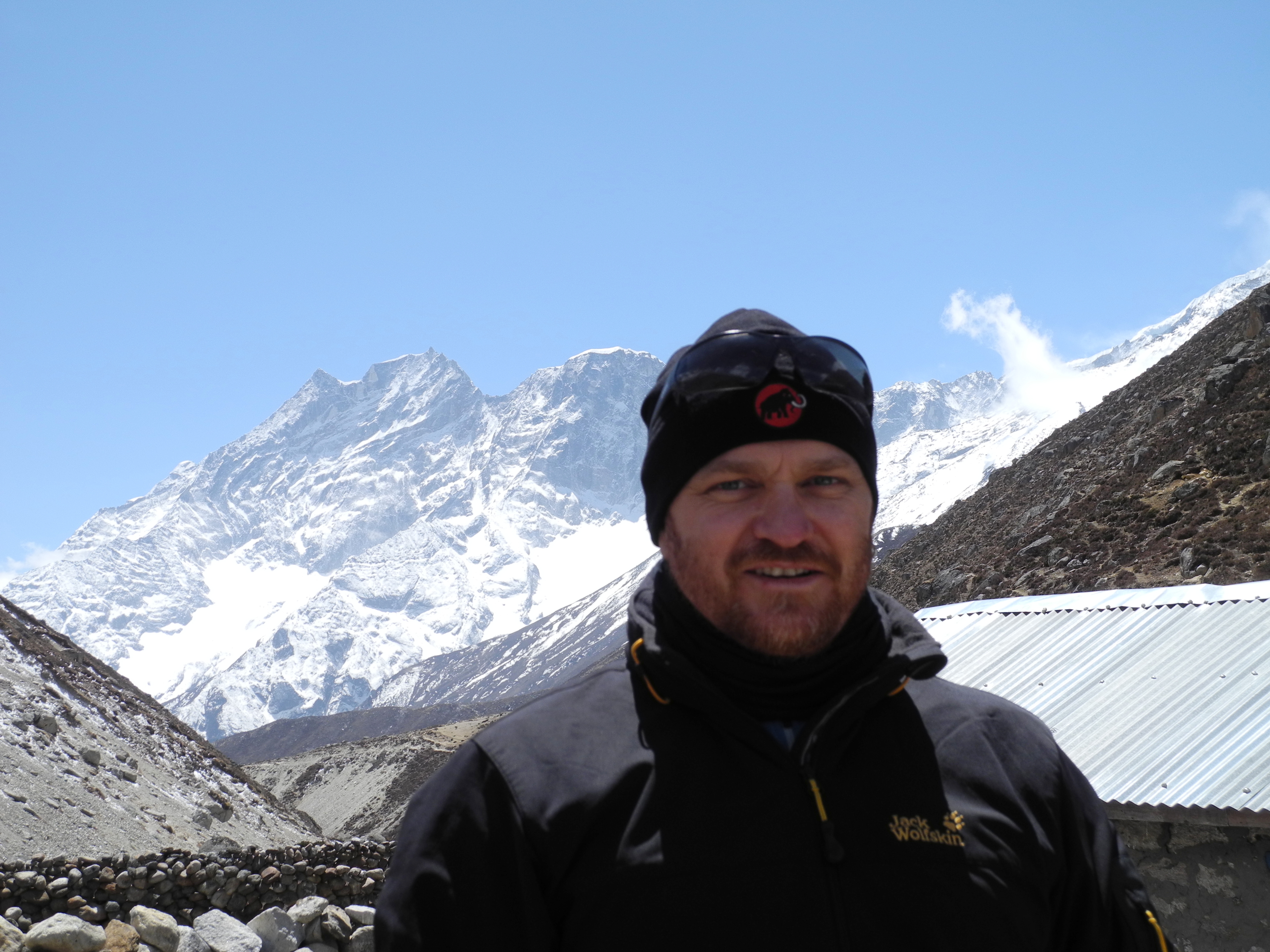
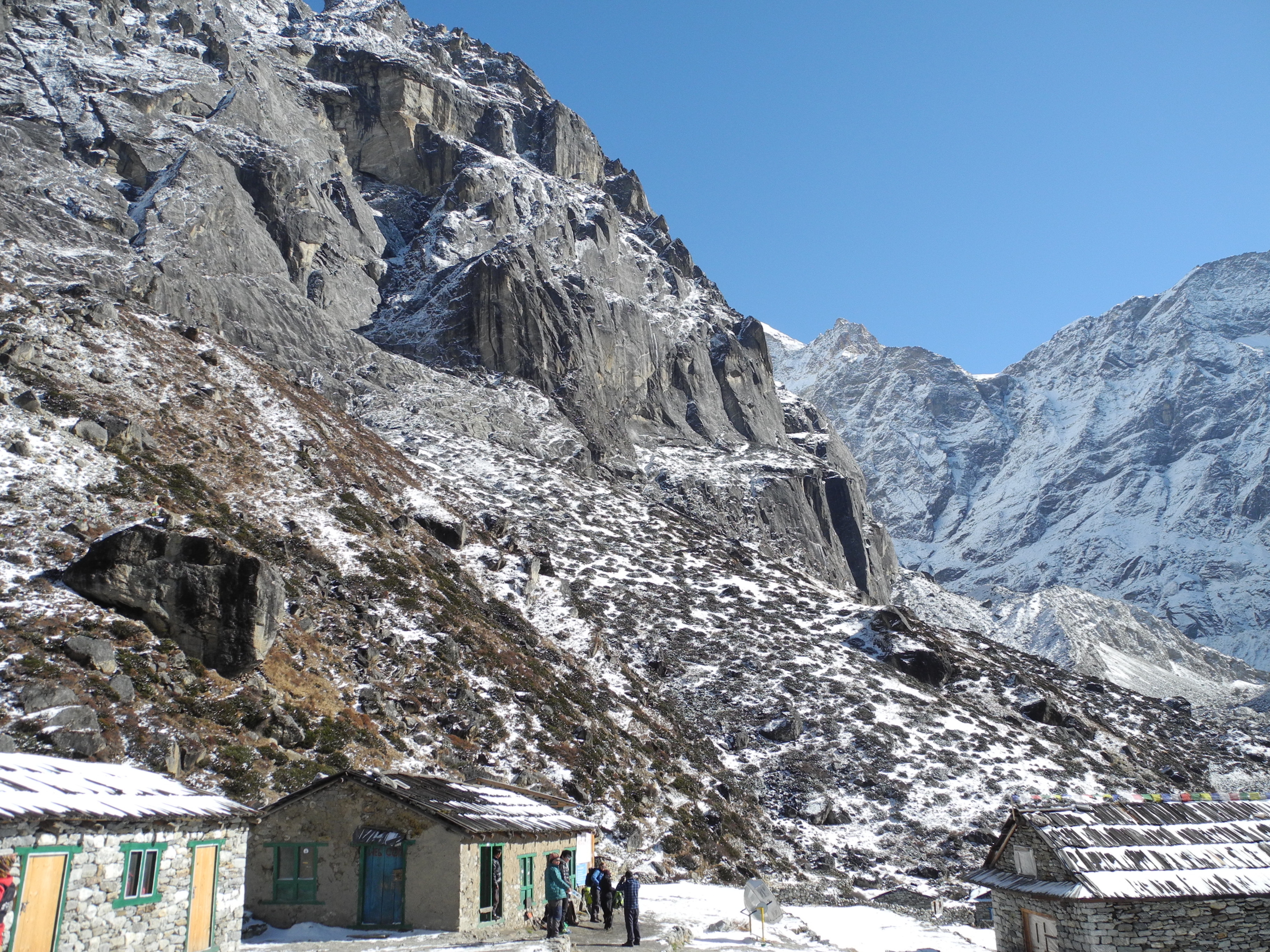
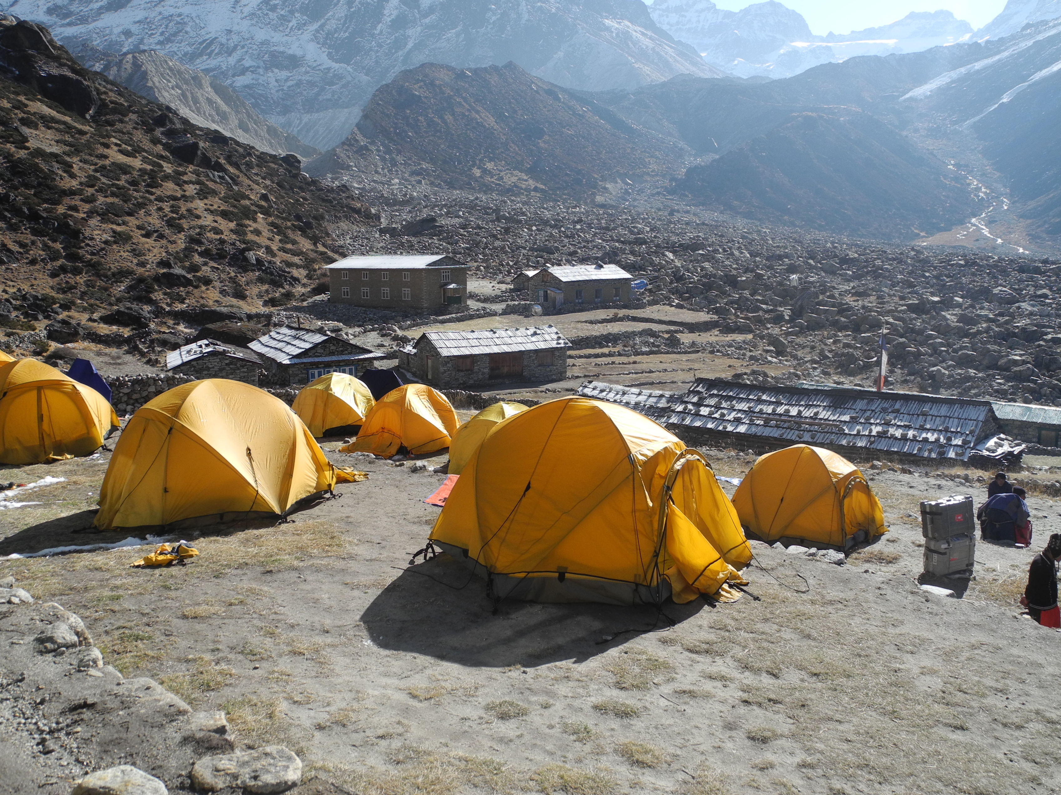
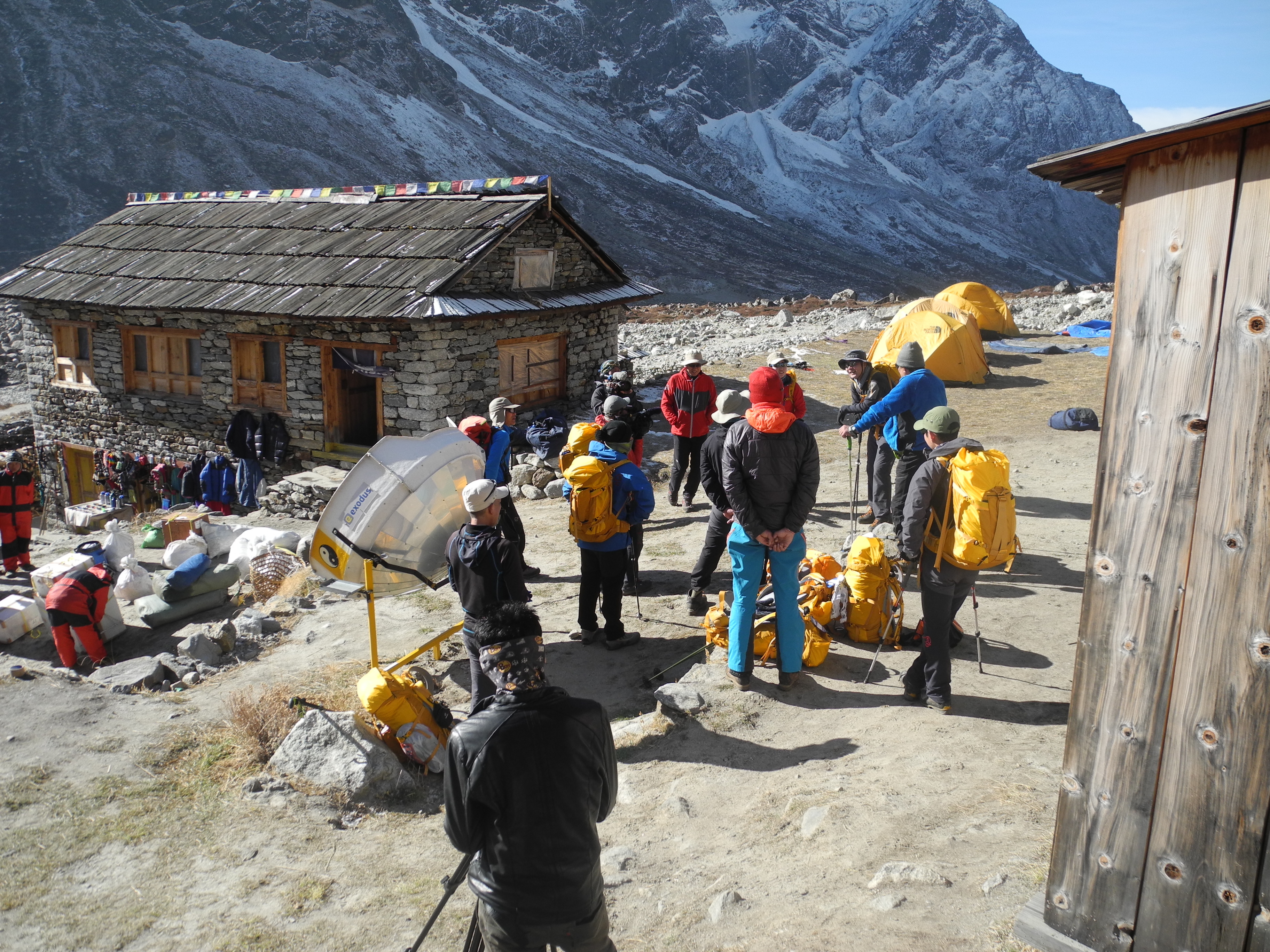
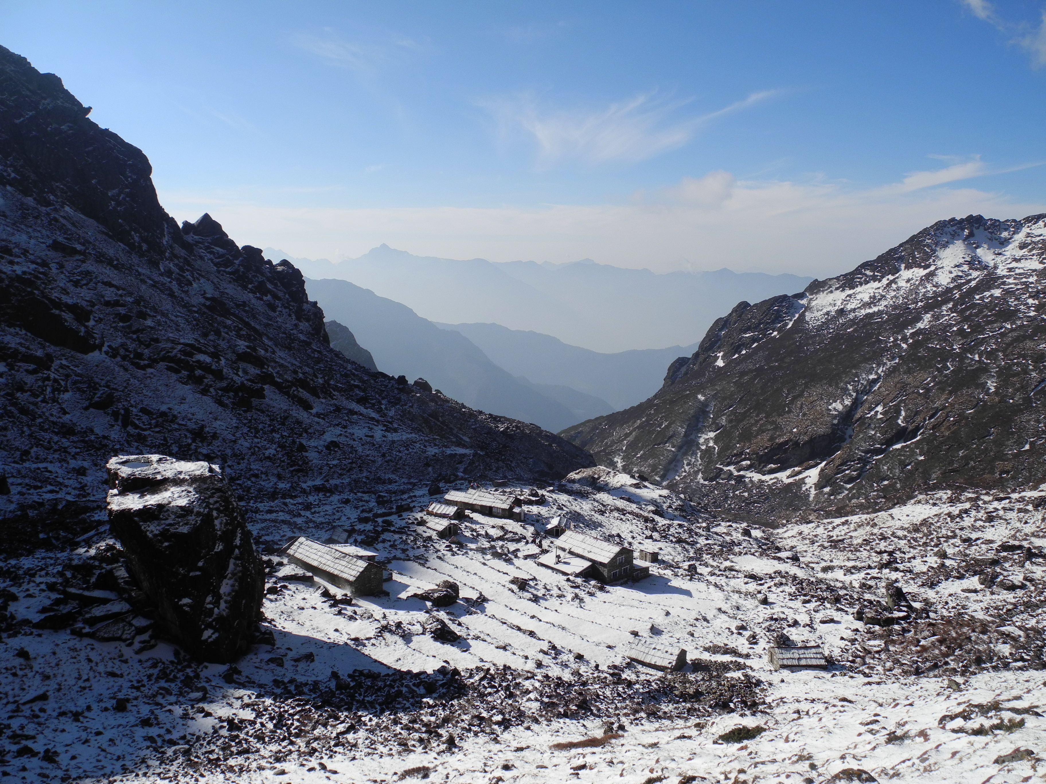
Day 19 – Tangnag to Khare Base Camp (4,900 m)

In brilliant sunshine we climbed to Khare at 4,900 m. The full-moon night before had been one of the most beautiful I have ever experienced. Final gear check before the big decision: wait or seize the weather window.

Tag 19-01.jpg

Tag 19-02.jpg Lucky again with the weather. Perfect conditions for the ascent to Mera Peak Base Camp.

Tag 19-03.jpg This is how tea is made here 😉

Tag 19-04.jpg

Tag 19-05.jpg

Tag 19-06.jpg

Tag 19-07.jpg The path follows enormous glacial moraines.

Tag 19-08.jpg

Tag 19-09.jpg Made it – you can take that literally too. 😉

Tag 19-10.jpg A deep sense of satisfaction mingles with a growing tension about the ascent to come.

Tag 19-11.jpg Admittedly, looking up it is a little daunting.

Tag 19-12.jpg Khare (Mera Peak Base Camp) (4,900 m)

Tag 19-13.jpg The ascent to Mera Peak had been impossible due to the bad weather of the preceding days.

Tag 19-14.jpg Several groups are already waiting for their chance.

Tag 19-15.jpg That evening our climbing Sherpa Lakba joined us, and after a thorough situation assessment we decided to set off early the following morning with two American three-person roped parties to ascend directly to High Camp II. Thanks to our solid acclimatisation during the Gokyo Trek we could afford to skip the first high camp. The key now was to move fast before the waiting crowds descended on the mountain.


Day 20 – Khare to Mera Peak High Camp (approx. 5,800–5,900 m)

Ascent to High Camp. On the way up we passed emaciated, frustrated climbers who had been stuck up there. The climb to the Mera La Glacier commanded real respect. Alone on the mountain with two American roped parties. Surcha waited at Base Camp for our return.

Tag 20-01.jpg

Tag 20-02.jpg Setting off with our porter Milan and Lakba Sherpa. The faces of the mountaineers coming back down – exhausted and empty-handed – were a sobering sight.

Tag 20-03.jpg The goal in sight 🧗 🏔️

Tag 20-04.jpg

Tag 20-05.jpg

Tag 20-06.jpg Threading through the seracs of the Mera La Glacier gave more than a few butterflies.

Tag 20-07.jpg

The ascent to the summit of Mera Peak in the night – step by step upward.

Tag 20-08.jpg Camping on the edge 😉

Tag 20-09.jpg Setting up the tents. The Americans’ tents in the background – not much space!

Tag 20-10.jpg

Tag 20-11.jpg Really very little space.

Tag 20-12.jpg

Tag 20-13.jpg

Tag 20-14.jpg

Tag 20-15.jpg Dinner. Sleep was out of the question. Blood oxygen saturation: 74%.


Day 21 – Summit Day! Mera Peak (6,654 m) and Descent to Tangnag

At 1 AM we set off shortly after the two American roped parties. Cold, wind and darkness set the rhythm: walk, breathe, stop. On 17 April 2014 just before seven we stood on the 6,654 m summit of Mera Peak. The descent demanded everything we had left – one long, gruelling push all the way down to Tangnag.

Tag 21-01.jpg

Tag 21-02.jpg At daybreak we reached the Mera saddle. Looking back at three eight-thousanders: Mt. Everest, Lhotse (in cloud) and Makalu on the right.

Tag 21-03.jpg Almost there! After an exhausting night march in bitter cold and wind, we were overjoyed to finally be near the top. It was the hardest thing I have ever done. At the very limits of our strength, only the summit structure of Mera Peak stood between us and the top.

Tag 21-04.jpg During the night we overtook one of the American parties and arrived just after the first Americans. They were already fixing a rope to the summit which we were kindly allowed to use. 👍

Tag 21-05.jpg At last! On 17 April 2014, just before seven, we stood on the 6,654 m summit of Mera Peak. 🏆💪🏋️

Tag 21-06.jpg

Tag 21-07.jpg Viva Bavaria ❤️🥨🍺

Tag 21-08.jpg Makalu stands 8,485 m tall and is the fifth-highest mountain in the world. (centre of image)

Tag 21-09.jpg

Tag 21-10.jpg All the Americans had made the summit by now. 👍

Tag 21-11.jpg Down there is Khote, where we first laid eyes on Mera Peak. That’s where we’ll be descending to today. 😱

Tag 21-12.jpg

Tag 21-13.jpg The three eight-thousanders again: Mt. Everest, Lhotse (in cloud) and Makalu on the right

Tag 21-15.jpg

Tag 21-16.jpg Beginning the descent …

Tag 21-17.jpg

Tag 21-18.jpg

Tag 21-19.jpg One last group photo with Lakba Sherpa …

Tag 21-20.jpg … then straight down.

Tag 21-21.jpg

Tag 21-22.jpg Now the really long descent begins. The weather couldn’t be better.

Tag 21-23.jpg

Tag 21-25.jpg Milan had already struck and packed our tents. We press on swiftly downward.

Tag 21-26.jpg Porter Milan – a truly “strong” man.

Tag 21-29.jpg One last look back at the summit.

Tag 21-31.jpg Despite enormous crevasses our Sherpa didn’t consider a rope necessary. Eyes closed and go! 😱


Day 22 – Tangnag to Khote

The return journey was accompanied by an indescribable sense of happiness. With every metre of descent the tension fell away.

Tag 22-01.jpg

Tag 22-04.jpg Back on safe ground at last. In Tangnag we happily spent some time with Lakba and his family, who ran a small shop there throughout the season.

Tag 22-02.jpg During our absence a Chinese Everest expedition had set up camp in Tangnag with military precision. They were using Mera Peak as a training mountain in preparation for the King of the Mountains. A drone was already being used to film the proceedings, and of course I proudly gave the expedition’s own film crew an interview about our successful adventure.

Tag 22-05.jpg

Tag 22-06.jpg

Tag 22-07.jpg Farewell to Lakba, who guided us superbly to the summit.

Tag 22-09.jpg Lakba’s wife and son

Tag 22-10.jpg Looking back towards the Mera La Glacier

Tag 22-11.jpg

Tag 22-12.jpg

Tag 22-13.jpg

Tag 22-14.jpg

Tag 22-15.jpg

Tag 22-16.jpg

Tag 22-17.jpg Arrived in Khote …

Tag 22-18.jpg

Tag 22-19.jpg Time for some gear maintenance 😉

Tag 22-20.jpg

Tag 22-21.jpg Rest!

Tag 22-22.jpg

Tag 22-24.jpg Finally a chance for some personal hygiene 😉

Tag 22-25.jpg

Tag 22-23.jpg This is where the news reached us of the tragic avalanche on Everest, in which sixteen Sherpas had lost their lives. We had suspected it would be in the news back home, but with no signal we couldn’t yet contact our families.

Tag 22-26.jpg


Day 23 – Khote to Thuli Kharka

Continuing on the return route via Thuli Kharka. The landscape that had seemed so threatening on the way up now revealed a different side.

Tag 23-01.jpg

Tag 23-02.jpg

Tag 23-03.jpg

Tag 23-04.jpg

Tag 23-05.jpg Incredible what this young man is capable of. He does his job with complete conviction and pride! 💪🏋

Tag 23-06.jpg Our Surcha always keeps spirits high with his cheerful nature

Tag 23-07.jpg Khote

Tag 23-08.jpg

Tag 23-09.jpg First a long climb up through the jungle …

Tag 23-10.jpg Beautiful and impressive

Tag 23-11.jpg Now came the mental challenge. Everything we had set out to achieve was behind us. Yet we still had to summon every last bit of strength to safely complete the relatively demanding return to Lukla. Fitness and concentration were required right to the end.

Tag 23-12.jpg

Tag 23-13.jpg

Tag 23-14.jpg

Tag 23-15.jpg

Tag 23-17.jpg

Tag 23-18.jpg Arriving in Thuli Kharka and straight to the night camp.

Tag 23-19.jpg We had the Everest Lodge 😉


Day 24 – Thuli Kharka to Lukla

The final descent back to Lukla. Three days ahead of schedule we reached our destination – the reserve days we had built in were not needed.

Tag 24-01.jpg

Tag 24-02.jpg Let’s go! Weather’s perfect!

Tag 24-03.jpg

Tag 24-04.jpg Final push – just got to keep going!

Tag 24-05.jpg

Tag 24-06.jpg

Tag 24-07.jpg

Tag 24-08.jpg

Tag 24-09.jpg

Tag 24-10.jpg

Tag 24-12.jpg

Tag 24-13.jpg

Tag 24-14.jpg One last push – grit your teeth and get it done …

Tag 24-16.jpg

Tag 24-17.jpg No crampons again 😱

Tag 24-18.jpg

Tag 24-19.jpg

Tag 24-20.jpg We came down from up there.

Tag 24-21.jpg Time to get inside and “party” 🍺🍻🍺🍻🍺🍻

Tag 24-22.jpg Admittedly, we were looking a little worse for wear. For my part I had lost 8 kg over the last few days.

Tag 24-23.jpg Admittedly: the party was also over quickly.


Day 25/26 – Sightseeing Kathmandu

Two final days in Kathmandu to process everything. Temples, streets, smells – everything feels different now compared to the beginning.

Tag 26-01.JPG Back sightseeing in Kathmandu

Tag 26-02.JPG Boudhanath Stupa – one of the largest stupas in Nepal and an important Buddhist shrine

Tag 26-03.JPG

Tag 26-04.JPG Temple complex: Durbar Squares

Tag 26-05.JPG Badly damaged in the 2015 earthquake.

Tag 26-06.JPG

Tag 26-07.JPG